Old Charcoal Plantation
Wood, Forest in East Lothian
Scotland
Old Charcoal Plantation
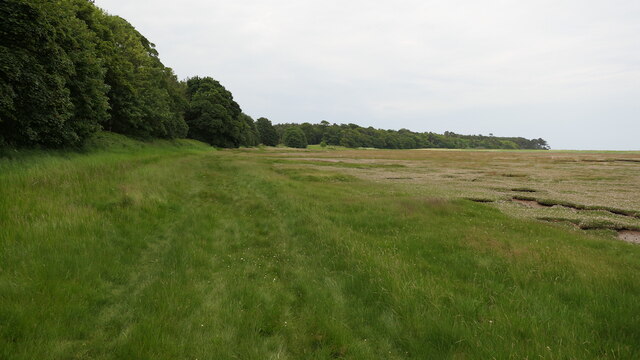
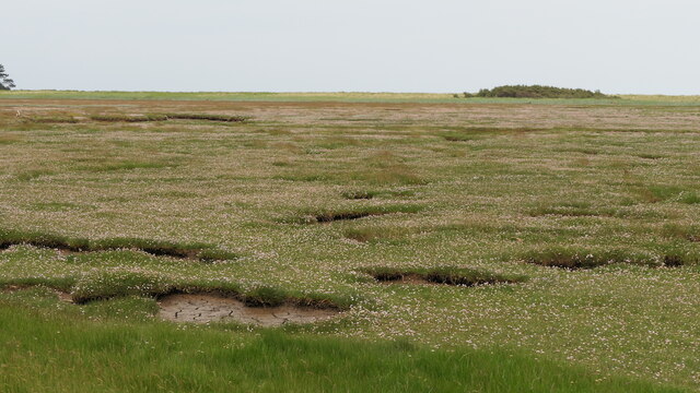
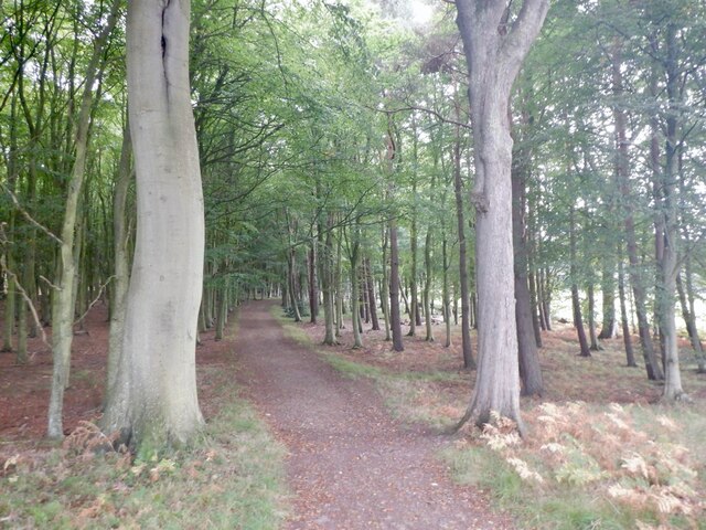
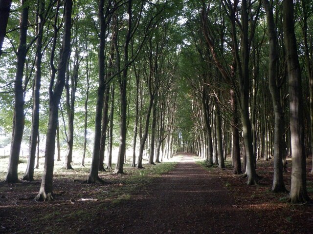
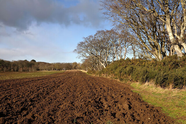
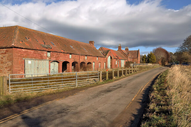
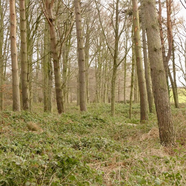
The Old Charcoal Plantation, located in East Lothian, Scotland, is a historic wood or forest area that holds significant cultural and natural value. This enchanting woodland covers an expansive area of land and is surrounded by rolling hills and picturesque countryside. The plantation is known for its rich history, dating back several centuries.
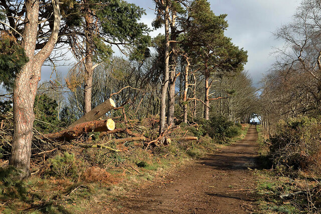
Once a thriving site for charcoal production, the Old Charcoal Plantation played a crucial role in the local economy during the 18th and 19th centuries. Charcoal was produced by burning wood in specially built kilns, and the resulting product was used for various purposes, such as fuel for iron smelting and blacksmithing. Though no longer in operation, remnants of the charcoal kilns can still be found within the woodland, serving as a reminder of its industrial past.
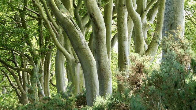
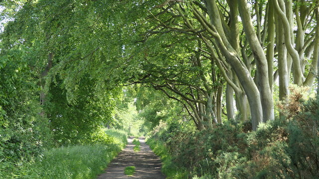
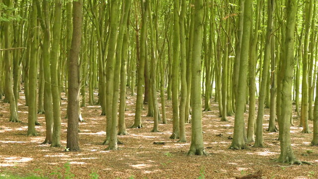
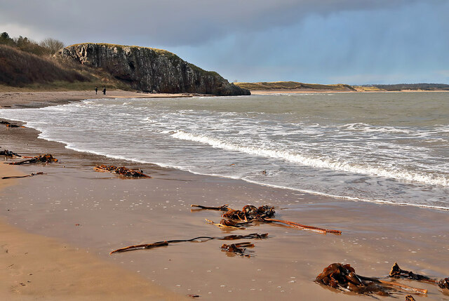
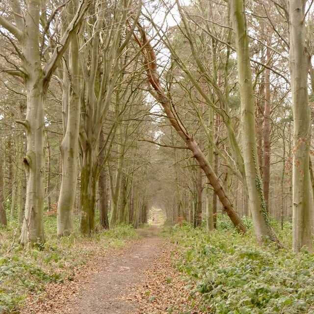
The Old Charcoal Plantation is now primarily appreciated for its natural beauty and biodiversity. It is home to a diverse array of tree species, including ancient oaks and towering Scots pines. The woodland floor is adorned with vibrant wildflowers, and the air is filled with the sweet scent of moss and ferns.
The plantation also attracts a wide variety of wildlife, making it a popular spot for nature enthusiasts. Visitors may be lucky enough to spot red squirrels darting among the trees, or catch a glimpse of roe deer grazing in the peaceful glades. The woodland is also a haven for birdlife, with numerous species, including woodpeckers and owls, finding sanctuary within its leafy canopy.
Overall, the Old Charcoal Plantation in East Lothian is a captivating destination, where history and nature intertwine to create a truly enchanting experience for all who visit.
If you have any feedback on the listing, please let us know in the comments section below.
Old Charcoal Plantation Images
Images are sourced within 2km of 56.014877/-2.6121313 or Grid Reference NT6180. Thanks to Geograph Open Source API. All images are credited.


Old Charcoal Plantation is located at Grid Ref: NT6180 (Lat: 56.014877, Lng: -2.6121313)
Unitary Authority: East Lothian
Police Authority: The Lothians and Scottish Borders
What 3 Words
///louder.beeline.amending. Near East Linton, East Lothian
Nearby Locations
Related Wikis

Tyninghame House
Tyninghame House is a mansion in East Lothian, Scotland. It is located by the mouth of the River Tyne, 2⁄3-mile (1.1 km) east of Tyninghame, and 3+3⁄4...

River Tyne, Scotland
The River Tyne is a river in Scotland. It rises in the Moorfoot Hills in Midlothian near Tynehead to the south of Edinburgh, at the junction of the B6458...

Tyninghame
Tyninghame is a small settlement in East Lothian, Scotland, about two miles north-east of East Linton. Together with the nearby settlement of Whitekirk...
Whitekirk and Tyninghame
Whitekirk and Tyninghame is a civil parish in East Lothian, Scotland, which takes its name from the two small settlements of Whitekirk and Tyninghame....
Have you been to Old Charcoal Plantation?
Leave your review of Old Charcoal Plantation below (or comments, questions and feedback).