Wilderness
Wood, Forest in Angus
Scotland
Wilderness

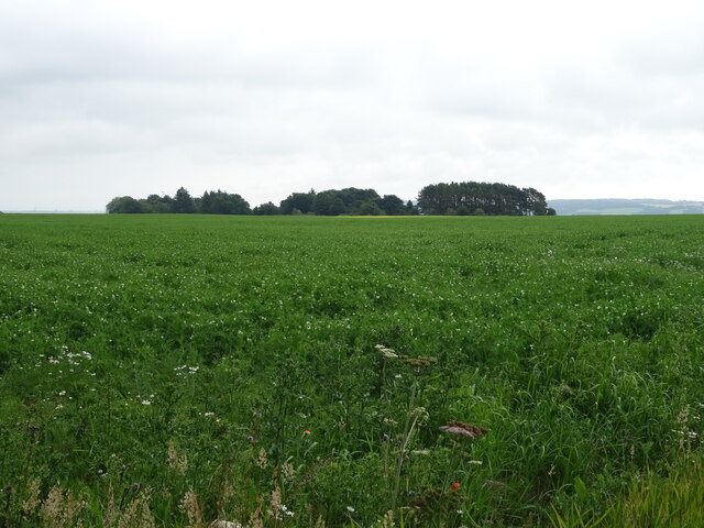
Wilderness, Angus, also known as the Wood or Forest of Angus, is a picturesque and expansive natural area located in the county of Angus, Scotland. Covering an area of approximately 5,000 hectares, Wilderness is characterized by its untouched beauty, diverse flora and fauna, and rich history.
The woodland is dominated by native species such as Scots pine, birch, oak, and rowan trees, which create a dense and enchanting canopy. This diverse habitat supports a wide range of wildlife, including red squirrels, roe deer, badgers, foxes, and a variety of bird species. The forest floor is carpeted with an array of wildflowers, ferns, and mosses, adding to the enchantment of the area.
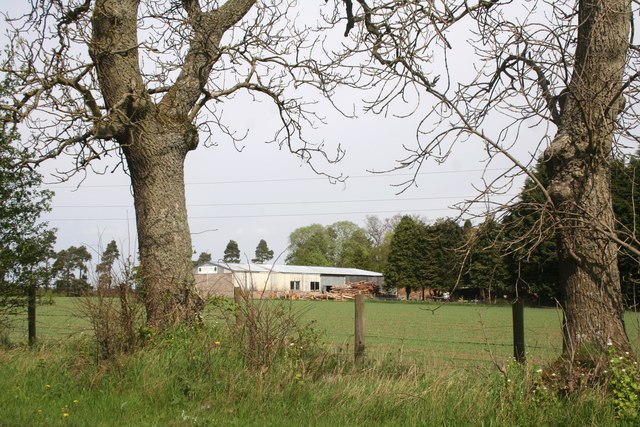
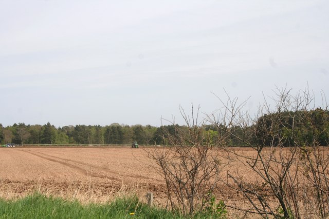
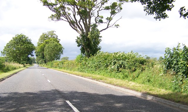
The woodland is crisscrossed by a network of walking trails, allowing visitors to explore and immerse themselves in the natural splendor of the area. These trails range in difficulty, catering to both casual strollers and experienced hikers. The paths wind through ancient woodland, along babbling brooks, and up to breathtaking viewpoints, offering visitors a chance to connect with nature and enjoy the tranquility of the surroundings.
In addition to its natural beauty, Wilderness, Angus, holds historical significance. The area is dotted with remnants of ancient settlements, including prehistoric burial sites and stone circles, providing a glimpse into the lives of those who inhabited the area centuries ago.
Overall, Wilderness, Angus, is a true gem of natural beauty, offering visitors a chance to escape the hustle and bustle of daily life and immerse themselves in the serenity of the Scottish woodlands.
If you have any feedback on the listing, please let us know in the comments section below.
Wilderness Images
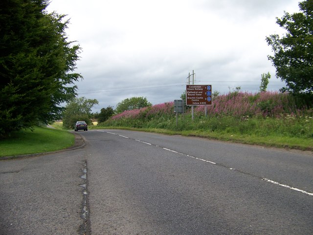
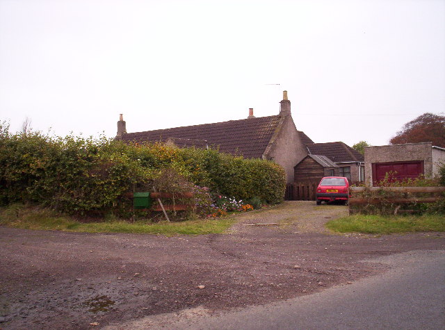
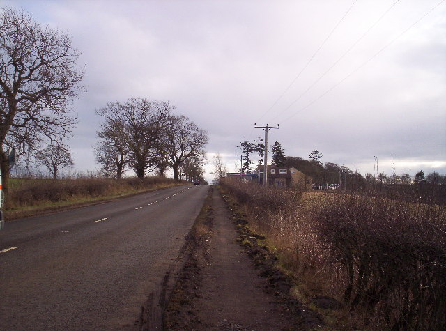
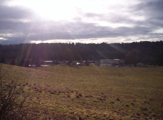
Images are sourced within 2km of 56.710412/-2.6293794 or Grid Reference NO6157. Thanks to Geograph Open Source API. All images are credited.


Wilderness is located at Grid Ref: NO6157 (Lat: 56.710412, Lng: -2.6293794)
Unitary Authority: Angus
Police Authority: Tayside
What 3 Words
///dried.craftsman.blanked. Near Brechin, Angus
Nearby Locations
Related Wikis

Kinnaird Castle, Brechin
Kinnaird Castle is a 15th-century castle near Brechin in Angus, Scotland. The castle has been home to the Carnegie family, the Earls of Southesk, for more...

Brechin Victoria F.C.
Brechin Victoria Junior Football Club are a Scottish Junior football club based in Brechin, Angus. Their home ground is Victoria Park. The club have recently...

Farnell, Angus
Farnell is a village in Angus, Scotland. It lies 2 miles south of the River South Esk, between Brechin and Montrose, near Kinnaird Castle. == References ==
Ardovie
Ardovie is a settlement on the perimeter of Montreathmont Moor, 3 miles south of Brechin. == References == == See also == Brechin
Nearby Amenities
Located within 500m of 56.710412,-2.6293794Have you been to Wilderness?
Leave your review of Wilderness below (or comments, questions and feedback).