Raecleugh Covert

Wood, Forest in Berwickshire

Scotland

Raecleugh Covert

Young deciduous woodland At Edgarhope on the Spottiswoode estate. The drystone wall at the side of the road is rich with moss.
Young deciduous woodland Credit: M J Richardson

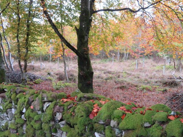
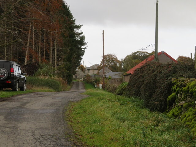
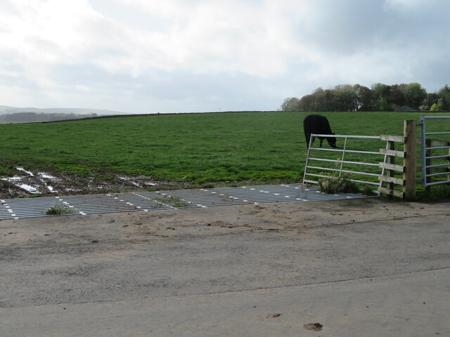
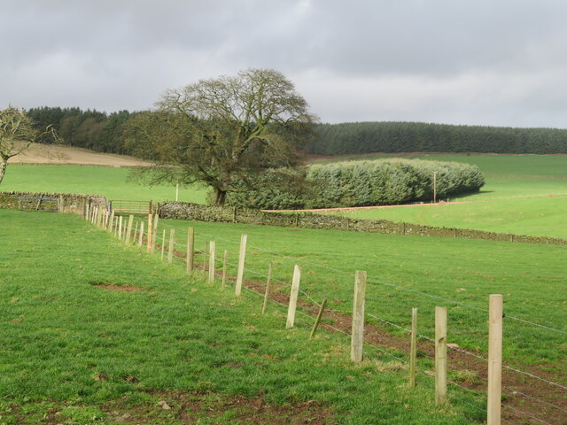
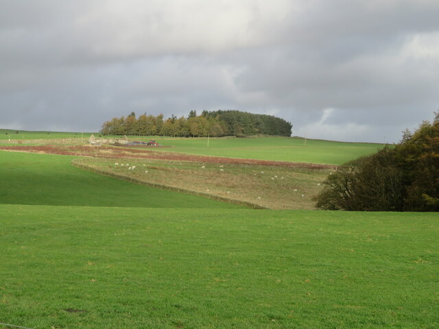
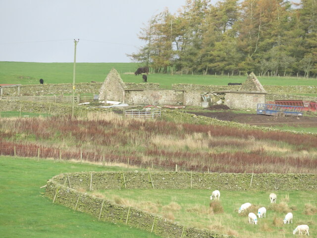
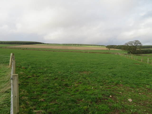
Raecleugh Covert, located in Berwickshire, is a picturesque wood or forest that spans approximately 200 acres. Nestled in the southeastern part of Scotland, this woodland is known for its diverse range of flora and fauna, making it a popular destination for nature lovers and outdoor enthusiasts.

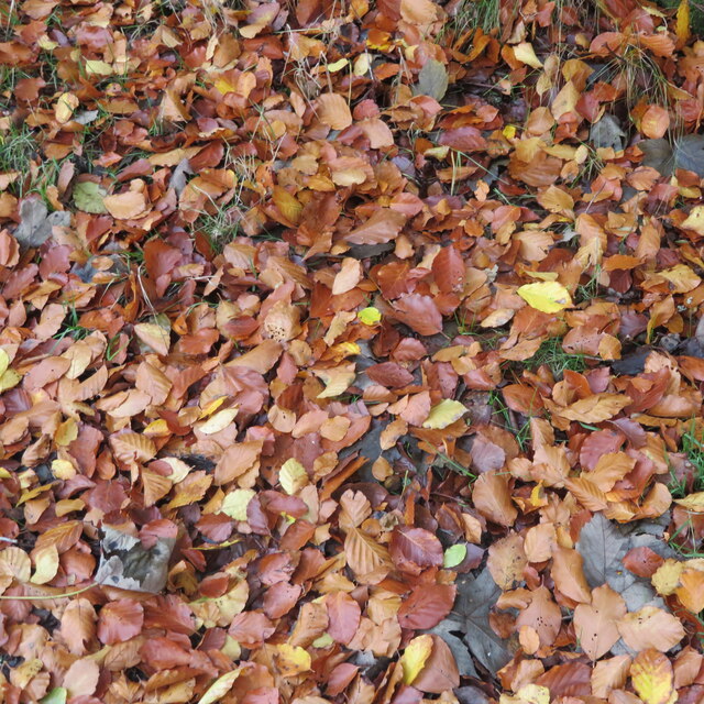
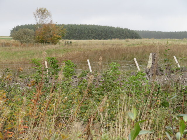
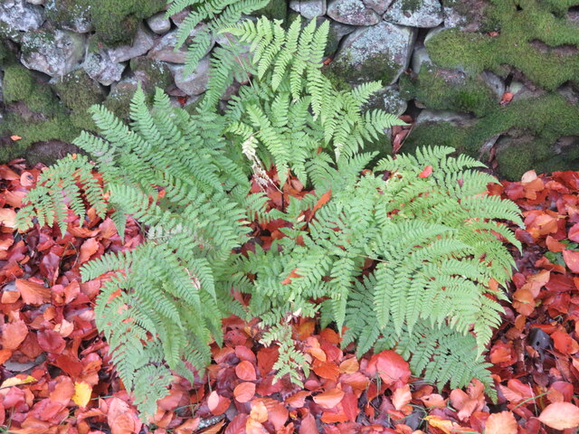
The woodland is primarily composed of a mixture of native tree species, including oak, birch, beech, and pine. The dense and lush vegetation provides a rich habitat for a wide variety of wildlife, such as deer, foxes, badgers, and numerous bird species. The tranquil atmosphere and abundance of natural beauty make it an idyllic spot for birdwatching and wildlife photography.

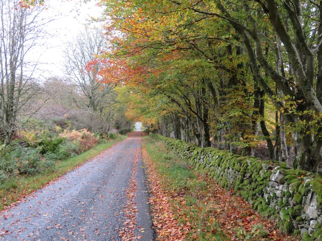
Visitors to Raecleugh Covert can explore the woodland through a network of well-maintained footpaths and trails. These paths meander through the forest, offering opportunities for leisurely walks, jogging, or even cycling. The enchanting surroundings, with sunlight filtering through the trees, create a magical and peaceful ambiance.

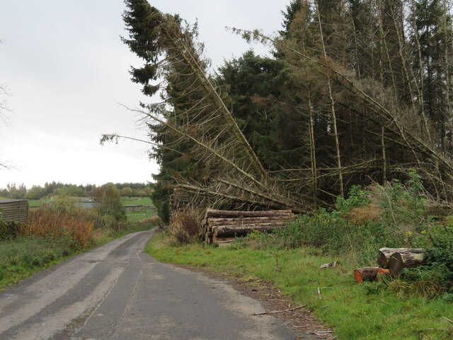
Historically, Raecleugh Covert has been an integral part of the local community, serving as a source of timber and firewood. Today, it continues to be managed sustainably, with periodic tree planting and selective logging to maintain the ecological balance. The woodland also hosts educational programs and guided tours to raise awareness about conservation and the importance of preserving natural habitats.

Overall, Raecleugh Covert in Berwickshire is a stunning woodland that offers a haven of tranquility and a chance to reconnect with nature. Its diverse ecosystem and well-preserved trails make it an ideal destination for individuals seeking outdoor adventures or a peaceful retreat in the heart of Scotland.

If you have any feedback on the listing, please let us know in the comments section below.

Raecleugh Covert Images

Images are sourced within 2km of 55.761693/-2.6200455 or Grid Reference NT6152. Thanks to Geograph Open Source API. All images are credited.

Young deciduous woodland At Edgarhope on the Spottiswoode estate. The drystone wall at the side of the road is rich with moss.
Young deciduous woodland
At Edgarhope on the Spottiswoode estate. The drystone wall at the side of the road is rich with moss.
Roadside Beech leaves A strong wind was causing the leaves to fall in a shower.
Roadside Beech leaves
A strong wind was causing the leaves to fall in a shower.
A litter of Beech leaves A strong wind was blowing a lot of leaves from the woodland at Edgarhope.
A litter of Beech leaves
A strong wind was blowing a lot of leaves from the woodland at Edgarhope.
Storm damaged shelterbelt On the road at Raecleugh.
Storm damaged shelterbelt
On the road at Raecleugh.
Windyedge and Raecleugh A small cul-de-sac settlement on the southern edge of the Lammermuir Hills.
Windyedge and Raecleugh
A small cul-de-sac settlement on the southern edge of the Lammermuir Hills.
Rough grassland at Raecleugh Looking north from the minor road to Raecleugh.
Rough grassland at Raecleugh
Looking north from the minor road to Raecleugh.
Rainbow over Flass Wood Looking north over cattle pasture to the birch wood in autumn colour.
Rainbow over Flass Wood
Looking north over cattle pasture to the birch wood in autumn colour.
Road protection, near Westruther The minor road passes over a small burn; the Armco-type barrier will stop vehicles from inadvertently ending up in the burn. Flass Wood is on the left.
Road protection, near Westruther
The minor road passes over a small burn; the Armco-type barrier will stop vehicles from inadvertently ending up in the burn. Flass Wood is on the left.
Cattle grids do work! On the road to Flass, this field contained many grazing cattle.
Cattle grids do work!
On the road to Flass, this field contained many grazing cattle.
Farmland near Flass With forestry beyond.
Farmland near Flass
With forestry beyond.
Pasture at Flass With the western edge of Loch Wood on the right. To the left are the remains of West Woodhead <a href="https://www.geograph.org.uk/photo/7326253">NT6252 : West Woodhead, near Flass</a>.
Pasture at Flass
With the western edge of Loch Wood on the right. To the left are the remains of West Woodhead NT6252 : West Woodhead, near Flass.
West Woodhead, near Flass The remains of farm buildings. A zoom view from the road to Flass.
West Woodhead, near Flass
The remains of farm buildings. A zoom view from the road to Flass.
Roadside fern at Edgarhope A species of Buckler Fern by a mossy roadside drystone wall, with fallen Beech leaves.
Roadside fern at Edgarhope
A species of Buckler Fern by a mossy roadside drystone wall, with fallen Beech leaves.
Fields at Flass Fertile upland grass and arable fields, on the southern edge of the Lammermuirs.
Fields at Flass
Fertile upland grass and arable fields, on the southern edge of the Lammermuirs.
An entrance and drive to Spottiswoode Passing through mixed woodland.
An entrance and drive to Spottiswoode
Passing through mixed woodland.
Winter cereal at Raecleugh Possibly Wheat. Raecleugh house is in the trees beyond.
Winter cereal at Raecleugh
Possibly Wheat. Raecleugh house is in the trees beyond.
Winter cereal at Raecleugh With a shelter belt on the eastern boundary.
Winter cereal at Raecleugh
With a shelter belt on the eastern boundary.
Footpath signpost near Raecleugh Westruther 2 ml, to the right [east], and Howlet's Ha' by Spottiswoode in the other direction [southwest].
Footpath signpost near Raecleugh
Westruther 2 ml, to the right [east], and Howlet's Ha' by Spottiswoode in the other direction [southwest].
Show me another place!

Raecleugh Covert is located at Grid Ref: NT6152 (Lat: 55.761693, Lng: -2.6200455)

Unitary Authority: The Scottish Borders

Police Authority: The Lothians and Scottish Borders

What 3 Words

///neckline.bashed.hired. Near Lauder, Scottish Borders

Related Wikis

Westruther

Westruther is a village on the B6465, in the Scottish Borders area of Scotland, on the lower slopes of the Lammermuir Hills, in the former Berwickshire...

Blackadder Water

Blackadder Water () is a river in Berwickshire in the Scottish Borders area of Scotland, forming part of the River Tweed system. It reached 2.84m at Mouthbridge...

Houndslow

Houndslow is a hamlet in the Scottish Borders area of Scotland. It is situated on the A697, about 5 miles (8.0 km) west of Greenlaw, and 3 miles (4.8 km...

Watch Water

The Watch Water is a river in the Scottish Borders area of Scotland. It rises in the Lammermuir Hills, around 8 kilometres (5.0 mi) west of Longformacus...

Have you been to Raecleugh Covert?

Leave your review of Raecleugh Covert below (or comments, questions and feedback).