Blacklaw Strip
Wood, Forest in Roxburghshire
Scotland
Blacklaw Strip
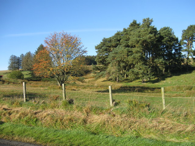
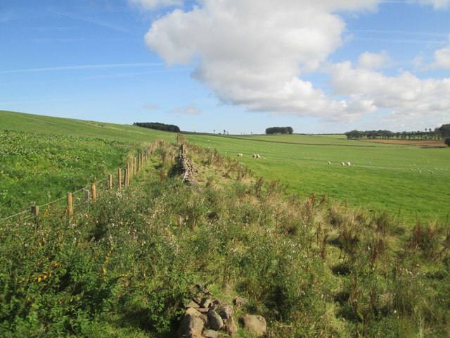
Blacklaw Strip is a picturesque wood located in Roxburghshire, Scotland. Situated in the southern region of the country, it spans an area of approximately 200 acres, making it a significant forested area in the region. The strip is known for its dense growth of various tree species, creating a rich and diverse woodland habitat.
The wood is predominantly made up of native tree species, including oak, birch, and rowan, which contribute to the area's natural beauty. These trees provide a thriving environment for a wide variety of wildlife, including birds, insects, and small mammals.
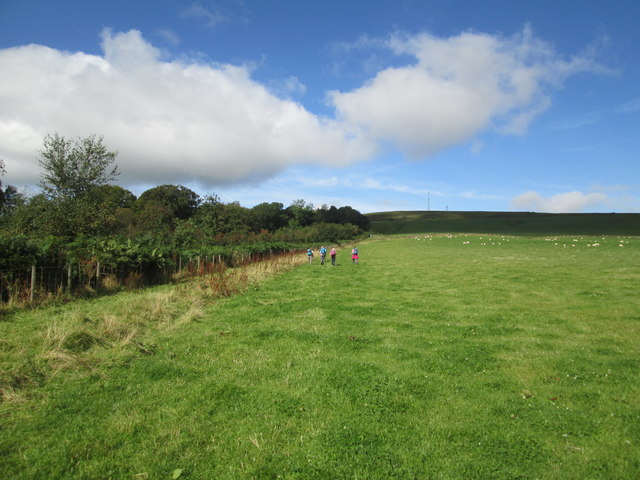
The strip is crossed by several footpaths, allowing visitors to explore and enjoy the tranquil surroundings. Walking through the wood, one can experience the peacefulness and serenity that nature has to offer. The paths are well-maintained, making it accessible for both seasoned hikers and casual walkers.
Blacklaw Strip is also known for its historical significance. The wood has been around for centuries and has witnessed various changes throughout its existence. It has been used for timber production, providing valuable resources for the local community. The remnants of old logging operations can still be seen in some areas, adding to the wood's charm and character.
Overall, Blacklaw Strip in Roxburghshire is a stunning forested area that offers a unique blend of natural beauty and historical significance. Its diverse ecosystem and well-maintained paths make it an ideal destination for nature lovers and outdoor enthusiasts looking to immerse themselves in the beauty of the Scottish countryside.
If you have any feedback on the listing, please let us know in the comments section below.
Blacklaw Strip Images
Images are sourced within 2km of 55.452817/-2.6165812 or Grid Reference NT6117. Thanks to Geograph Open Source API. All images are credited.


Blacklaw Strip is located at Grid Ref: NT6117 (Lat: 55.452817, Lng: -2.6165812)
Unitary Authority: The Scottish Borders
Police Authority: The Lothians and Scottish Borders
What 3 Words
///tensions.loose.following. Near Jedburgh, Scottish Borders
Nearby Locations
Related Wikis

Bedrule
Bedrule (Scottish Gaelic: Ruail Bheathaig) is a hamlet and civil parish in the historic county of Roxburghshire in the Scottish Borders area of Scotland...

Bedrule Castle
Bedrule Castle is a ruined 13th-century castle in the Rule Valley, in the Scottish Borders area of Scotland.The castle was built in the 13th century by...
Fulton Tower
Fulton Tower is a ruined 16th century tower house, about 4.5 miles (7.2 km) south west of Jedburgh, Scottish Borders, Scotland, and about 2 miles (3.2...
Spittal-on-Rule
Spittal-on-Rule is a farm in the council area of Scottish Borders in Scotland. As the name suggests it is situated on the river Rule Water, and the Spittal...

Lanton, Scottish Borders
Lanton is a village in the Scottish Borders area of Scotland, near Jedburgh and Timpendean Tower, off the A698. == See also == List of places in the Scottish...
Lanton Tower
Lanton Tower is a 16th-century tower house, about 2.0 miles (3.2 km) northwest of Jedburgh, Scottish Borders, Scotland, at Lanton. == History == In 1513...

Rubers Law
Rubers Law is a prominent, conical hill in the Scottish Borders area of south-east Scotland. It stands on the south bank of the River Teviot, between the...
Rule Water
The Rule Water is a river in the Scottish Borders area of Scotland, and a tributary of the River Teviot. The Rule Water rises in Wauchope Forest and passes...
Nearby Amenities
Located within 500m of 55.452817,-2.6165812Have you been to Blacklaw Strip?
Leave your review of Blacklaw Strip below (or comments, questions and feedback).