Flush Plantation

Wood, Forest in Roxburghshire

Scotland

Flush Plantation

B6357 near Hyndlee
B6357 near Hyndlee Credit: Steven Brown

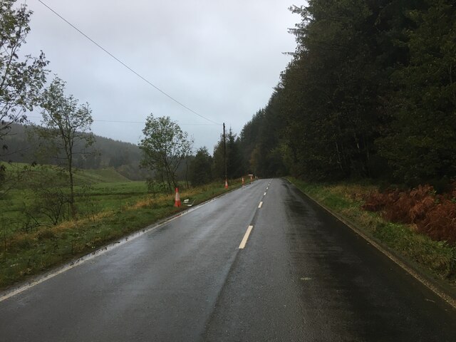
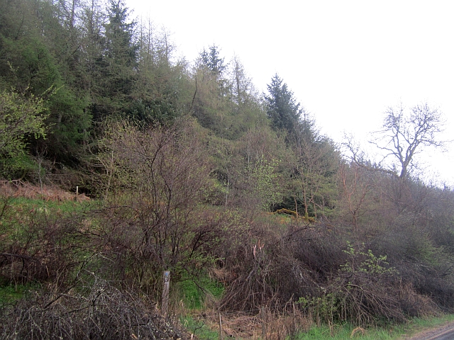
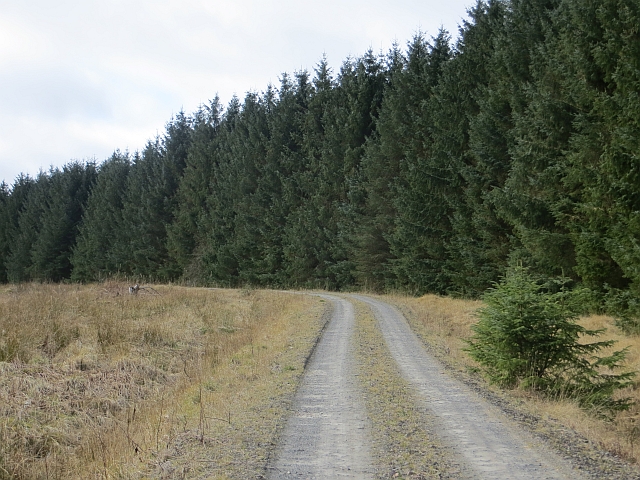
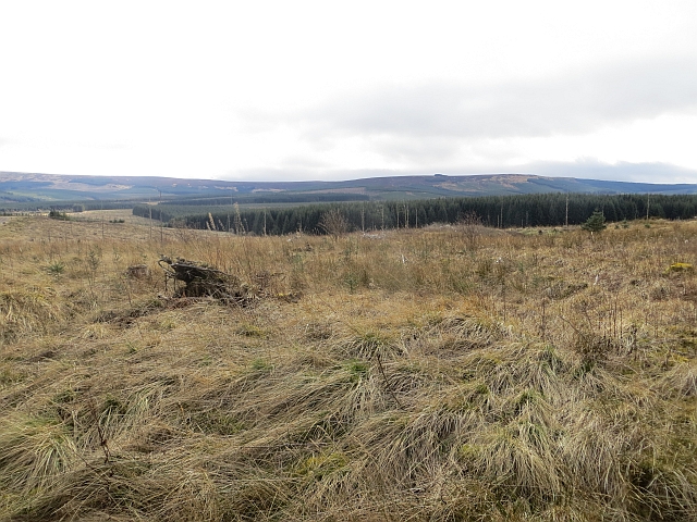
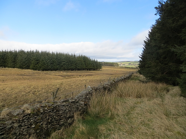
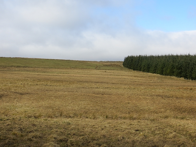
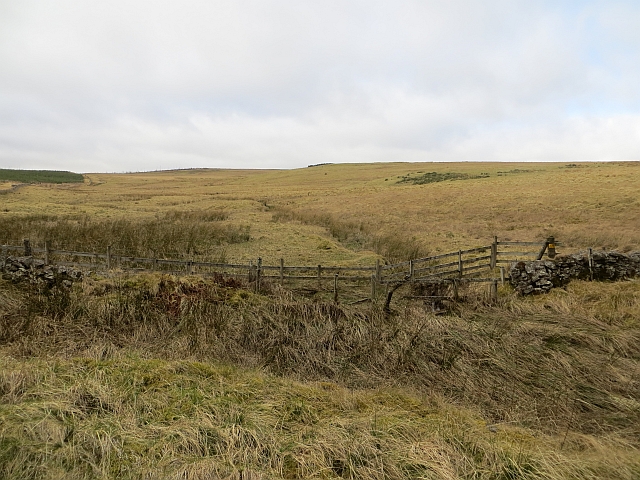
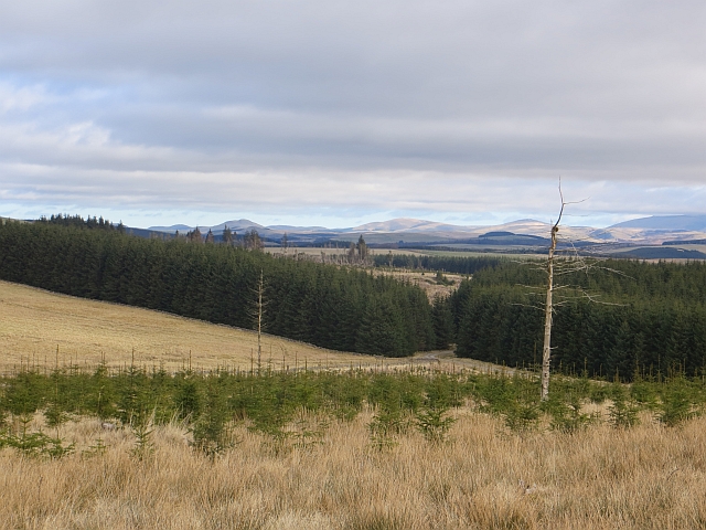
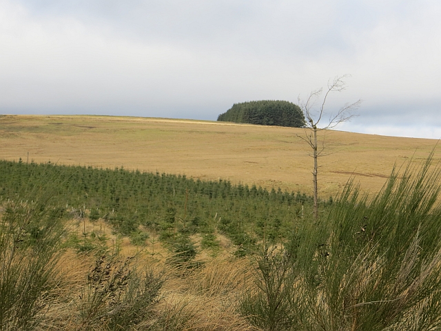
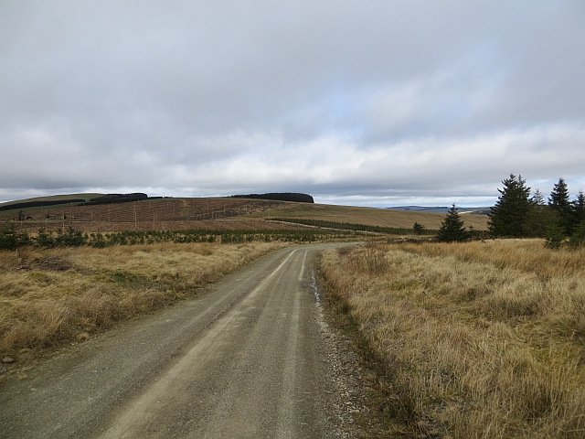
Flush Plantation is a wood located in the county of Roxburghshire, Scotland. Situated in the beautiful Scottish Borders region, the plantation covers an area of approximately 200 acres.

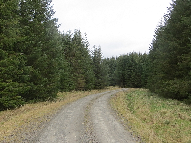
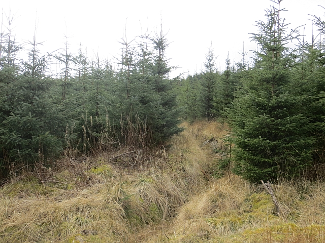
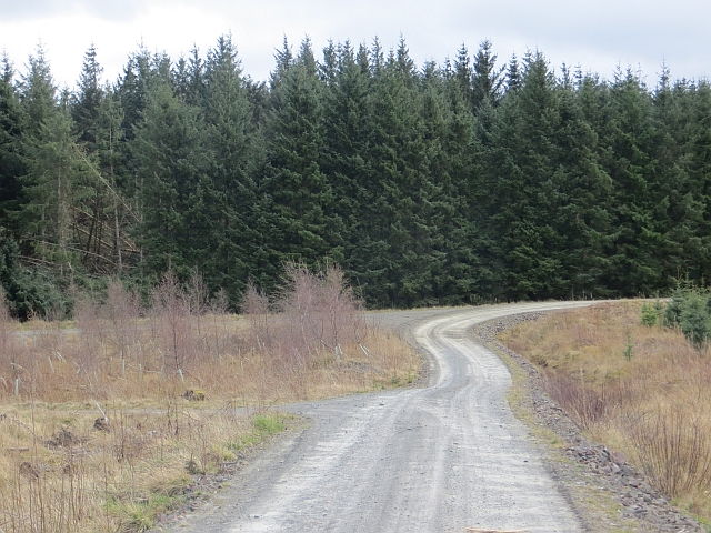
The wood is predominantly made up of a mix of coniferous and deciduous trees, providing a diverse and picturesque landscape. The main tree species found in Flush Plantation include Scots Pine, Sitka Spruce, Douglas Fir, and European Beech. The wood's close proximity to the River Teviot adds to its natural beauty and creates a tranquil atmosphere for visitors to enjoy.

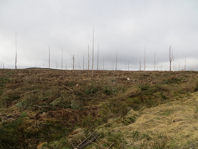
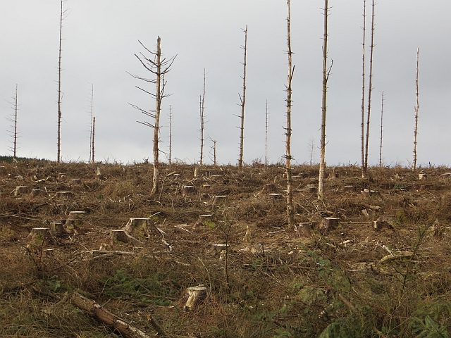
The plantation is managed by the Scottish Forestry Commission, who ensure sustainable practices are implemented to maintain the health and vitality of the wood. This includes regular tree thinning and replanting to encourage growth and biodiversity.

Flush Plantation offers a range of recreational activities for visitors to engage in. There are well-maintained walking trails that wind through the wood, allowing visitors to explore its natural wonders at their own pace. The trails are suitable for all fitness levels and provide opportunities for birdwatching and wildlife spotting.

For those interested in history, Flush Plantation has a rich heritage. It was once part of a larger estate and played a significant role in the local timber industry. Remnants of old structures, such as sawmills and logging buildings, can still be found within the wood, serving as a reminder of its industrial past.

Overall, Flush Plantation in Roxburghshire is a captivating wood, offering a peaceful escape and a chance to immerse oneself in the beauty of nature.

If you have any feedback on the listing, please let us know in the comments section below.

Flush Plantation Images

Images are sourced within 2km of 55.354521/-2.6167712 or Grid Reference NT6006. Thanks to Geograph Open Source API. All images are credited.

B6357 near Hyndlee
B6357 near Hyndlee
Wolfelee Hill from the air The distinctive strip woods make this hill easy to identify from the air.
Wolfelee Hill from the air
The distinctive strip woods make this hill easy to identify from the air.
Wolfelee Hill from the air Wolfelee Hill is in the foreground.

See also <a href="https://www.geograph.org.uk/photo/5679322">NT6007 : Wolfelee Hill from the air</a>.
Wolfelee Hill from the air
Wolfelee Hill is in the foreground. See also NT6007 : Wolfelee Hill from the air.
Cragbank Woods National Nature Reserve Tail end of a steep slope clad in ancient deciduous woodland. There is an encroachment by the usual "weeds" above, but the wood is somewhat thicker further north.
Cragbank Woods National Nature Reserve
Tail end of a steep slope clad in ancient deciduous woodland. There is an encroachment by the usual "weeds" above, but the wood is somewhat thicker further north.
Clear felled slope, Hyndlee Wauchope Forest seen from the Bonchester Bridge to Newcastleton road.
Clear felled slope, Hyndlee
Wauchope Forest seen from the Bonchester Bridge to Newcastleton road.
Logging road, Dykeraw Plantation The block with the trees was being felled at this time.
Logging road, Dykeraw Plantation
The block with the trees was being felled at this time.
Dykeraw Plantation Newly replanted block of woodland.
Dykeraw Plantation
Newly replanted block of woodland.
Forest  edge Edge of Dykeraw Plantation, further progress was stopped by electric fencing.
Forest edge
Edge of Dykeraw Plantation, further progress was stopped by electric fencing.
Highlee Hill
Highlee Hill
Battling Sike A corner in the edge of Wauchope Forest.
Battling Sike
A corner in the edge of Wauchope Forest.
Logging road, Wauchope Forest Near the forest edge by Peden's Cleuch.
Logging road, Wauchope Forest
Near the forest edge by Peden's Cleuch.
Young plantation, Wauchope Forest The days of a uniform covering are long gone here. The felling rotation means that much of the forest is made up of young trees at various stages of growth.
Young plantation, Wauchope Forest
The days of a uniform covering are long gone here. The felling rotation means that much of the forest is made up of young trees at various stages of growth.
Logging road, Wauchope Forest The junction layout changed judging by the 1:50,000 maps. There has been some wind damage to the trees in the background.
Logging road, Wauchope Forest
The junction layout changed judging by the 1:50,000 maps. There has been some wind damage to the trees in the background.
Wauchope Forest Looking over young trees towards the forest edge.  The road through the gap in the trees is this one: <a href="https://www.geograph.org.uk/photo/3895517">NT6107 : Logging road, Wauchope Forest</a>
Wauchope Forest
Looking over young trees towards the forest edge. The road through the gap in the trees is this one: NT6107 : Logging road, Wauchope Forest
Strip wood, Wolflee Hill Looking out of Wauchope Forest to what the landscape was like before the conifers.
Strip wood, Wolflee Hill
Looking out of Wauchope Forest to what the landscape was like before the conifers.
Felled area, Wauchope Forest A recently felled block.
Felled area, Wauchope Forest
A recently felled block.
Felled area, Wauchope Forest Recently clear felled block in Wauchope Forest.
Felled area, Wauchope Forest
Recently clear felled block in Wauchope Forest.
Logging road, Wauchope Forest Passing the site of Flush Plantation, a name still on the maps. Flush Plantation was a small square woodland in what was once a vast sheep walk.

An older view from a similar viewpoint: <a href="https://www.geograph.org.uk/photo/1245995">NT6006 : Wauchope Forest</a>
Logging road, Wauchope Forest
Passing the site of Flush Plantation, a name still on the maps. Flush Plantation was a small square woodland in what was once a vast sheep walk. An older view from a similar viewpoint: NT6006 : Wauchope Forest
Show me another place!

Flush Plantation is located at Grid Ref: NT6006 (Lat: 55.354521, Lng: -2.6167712)

Unitary Authority: The Scottish Borders

Police Authority: The Lothians and Scottish Borders

What 3 Words

///recording.proves.helpful. Near Hawick, Scottish Borders

Related Wikis

Wauchope, Scottish Borders

Wauchope is a hamlet in the Scottish Borders council area of Scotland, near Southdean. Wauchope House was demolished in 1932. == See also == Wauchope Forest...

Southdean

Southdean is a hamlet in the Scottish Borders area of Scotland, on the A6088, by the Jed Water and in the Wauchope Forest area. Other settlements nearby...

Wauchope Forest

Wauchope Forest is a forest on the Rule Water, in the Scottish Borders area of Scotland, south of Hawick, and including the A6088, the A68 and the B6357...

Hobkirk

Hobkirk (Scottish Gaelic: Eaglais Ruail) is a village and civil parish in the Scottish Borders area of Scotland, by the Rule Water, south-west of Jedburgh...

Have you been to Flush Plantation?

Leave your review of Flush Plantation below (or comments, questions and feedback).