Chalford

Settlement in Oxfordshire South Oxfordshire

England

Chalford

Farmland, Aston Rowant The bridleway from Copcourt approaches Chalford in mixed farmland.
Farmland, Aston Rowant Credit: Andrew Smith

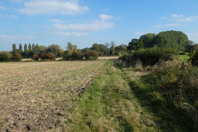
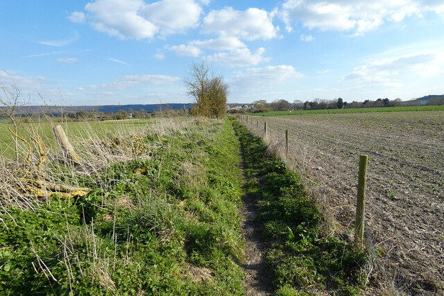
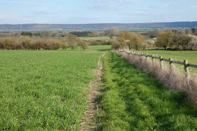
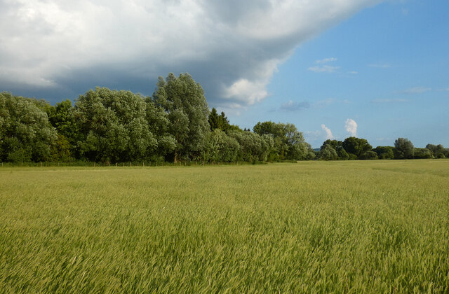
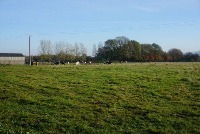
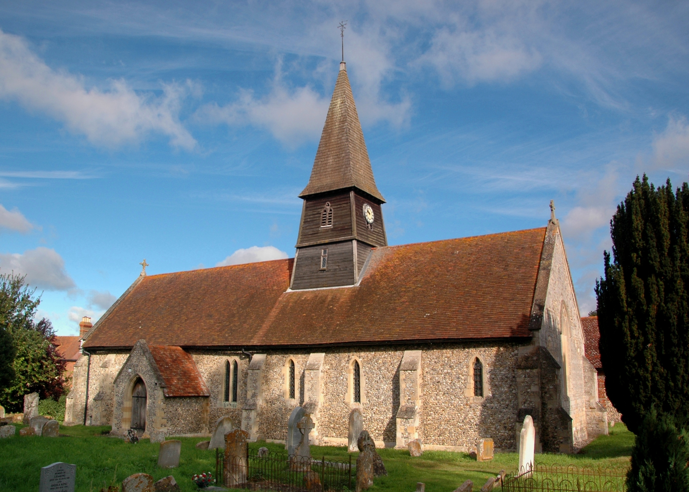
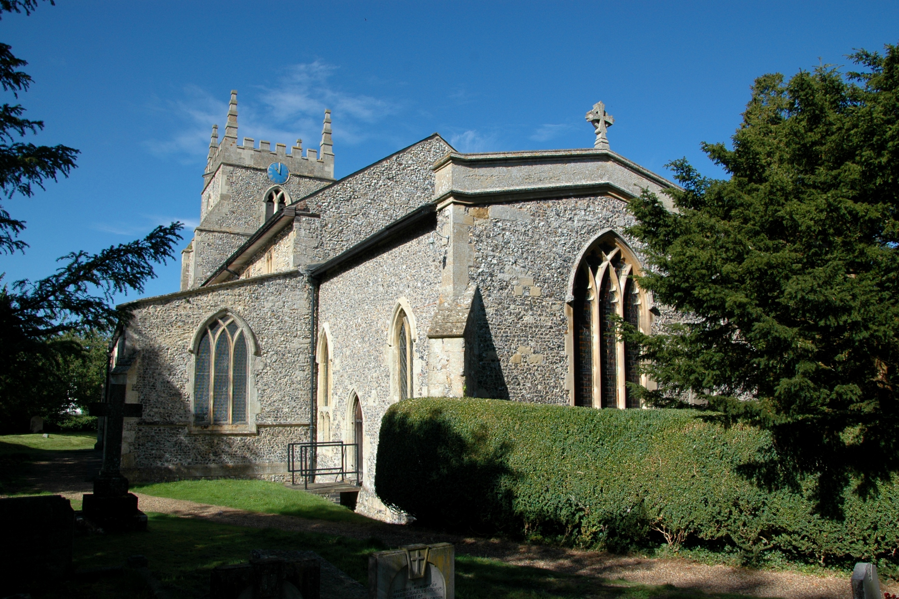
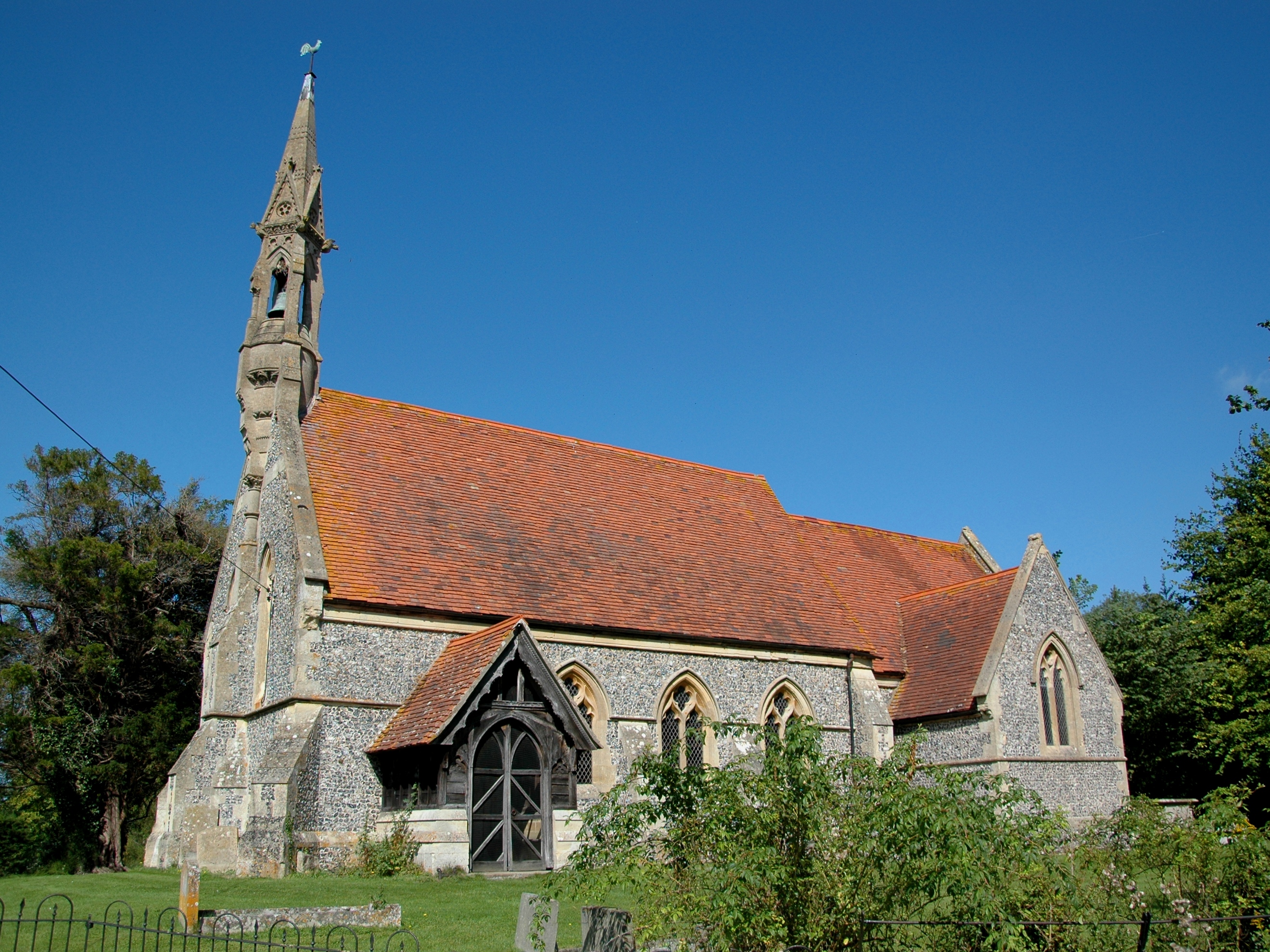
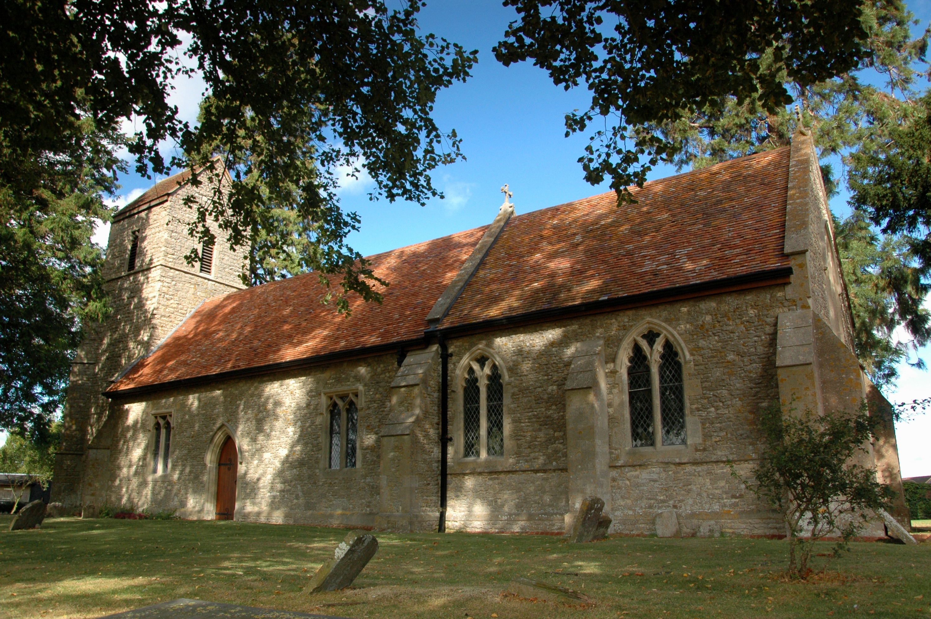
Chalford is a small village located in the county of Oxfordshire, England. Situated on the eastern edge of the Cotswolds, Chalford is known for its picturesque surroundings and charming rural character. The village is nestled in a valley, surrounded by rolling hills and lush green fields, providing residents and visitors with stunning views of the countryside.

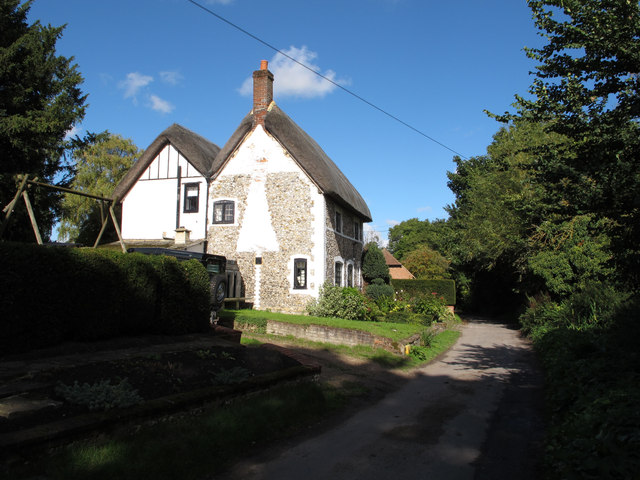
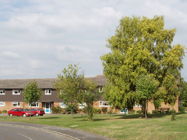
The village itself is built mainly from traditional Cotswold stone, giving it a distinctive and timeless appearance. The architecture within Chalford is a mix of historic cottages and more modern houses, creating a harmonious blend of old and new. The village is home to a close-knit community, with a population of around 500 residents.

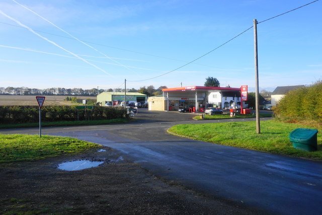
Chalford offers a range of amenities and facilities for its residents, including a local primary school, a village hall, and a small selection of shops and pubs. The village is well-connected to the surrounding areas, with good transport links to nearby towns and cities. It is located just a short drive from the market town of Witney and is approximately 15 miles west of Oxford.

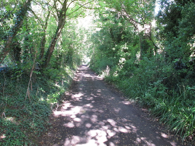
The village is also surrounded by a network of footpaths and bridleways, making it an ideal location for outdoor enthusiasts and nature lovers. The nearby countryside offers opportunities for walking, cycling, and horse riding, allowing visitors to explore the beautiful landscape and enjoy the tranquility of rural Oxfordshire.

In summary, Chalford is a charming and idyllic village situated in the heart of Oxfordshire. With its stunning countryside, architectural beauty, and strong sense of community, it is a place that offers a peaceful and picturesque lifestyle.

If you have any feedback on the listing, please let us know in the comments section below.
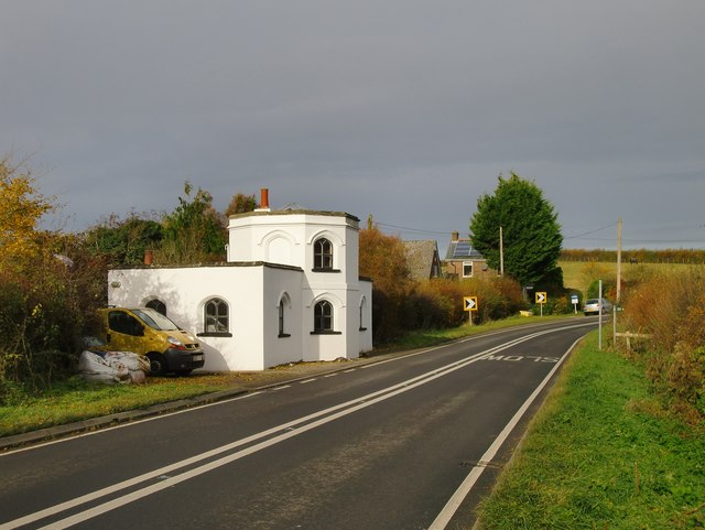
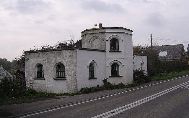
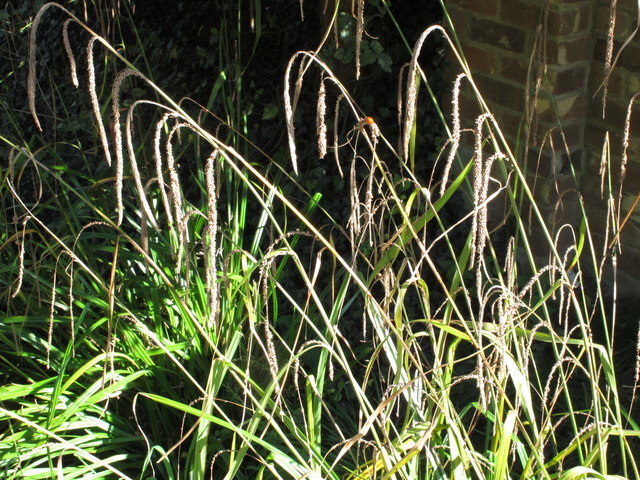
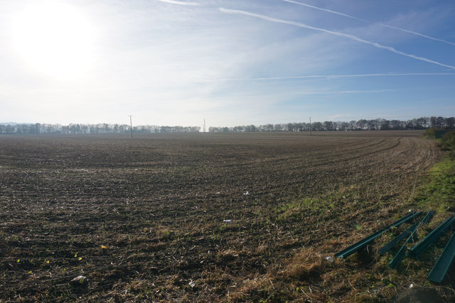
Chalford Images

Images are sourced within 2km of 51.702111/-0.961259 or Grid Reference SP7100. Thanks to Geograph Open Source API. All images are credited.

Farmland, Aston Rowant The bridleway from Copcourt approaches Chalford in mixed farmland.
Farmland, Aston Rowant
The bridleway from Copcourt approaches Chalford in mixed farmland.
Farmland, Lewknor A footpath approaching Postcombe from Copcourt.  The land to the right contains a young crop of beans with more advance oil-seed rape seen ahead.
Farmland, Lewknor
A footpath approaching Postcombe from Copcourt. The land to the right contains a young crop of beans with more advance oil-seed rape seen ahead.
Farmland, Tetsworth A footpath descending towards Copcourt from the B4012.
Farmland, Tetsworth
A footpath descending towards Copcourt from the B4012.
Pasture, Sydenham Fairly recently grazed land to the west of Sydenham Grange.
Pasture, Sydenham
Fairly recently grazed land to the west of Sydenham Grange.
Farmland, Sydenham Beans and the Chiltern scarp are seen from the  bridleway to Sydenham Grange.
Farmland, Sydenham
Beans and the Chiltern scarp are seen from the bridleway to Sydenham Grange.
Farmland, Sydenham Wheat and a threatening sky to the east of Sydenham Grange.
Farmland, Sydenham
Wheat and a threatening sky to the east of Sydenham Grange.
Attington Toll House Perhaps past owners of the Attington estate excised tolls as a revenue-raising measure; perhaps they simply wished to discourage passage across the estate.  The style of the building, with its Gothick windows, suggests a date of circa 1800.
Attington Toll House
Perhaps past owners of the Attington estate excised tolls as a revenue-raising measure; perhaps they simply wished to discourage passage across the estate. The style of the building, with its Gothick windows, suggests a date of circa 1800.
Old Toll House, Tetsworth Toll House in the parish of Tetsworth, Attington Toll House, Thame Road (B4012), OX9 7DA.

Grade II listed.
List Entry Number: 1059661 <span class="nowrap"><a title="https://historicengland.org.uk/listing/the-list/list-entry/1059661" rel="nofollow ugc noopener" href="https://historicengland.org.uk/listing/the-list/list-entry/1059661">Link</a><img style="margin-left:2px;" alt="External link" title="External link - shift click to open in new window" src="https://s1.geograph.org.uk/img/external.png" width="10" height="10"/></span>

Surveyed

Milestone Society National ID: OX.TET
Old Toll House, Tetsworth
Toll House in the parish of Tetsworth, Attington Toll House, Thame Road (B4012), OX9 7DA. Grade II listed. List Entry Number: 1059661 LinkExternal link Surveyed Milestone Society National ID: OX.TET
Thatched cottage, Church Lane, Aston Rowant
Church Lane, Aston Rowant - part of old "London Weye" The Aston Rowant Discovery Trail signs say that Church Lane is thought to be on the London Weye, a route to Oxford used in the Middle ages, and used by the future Queen Elizabeth I when released from the Tower of London and banished to country confinement in Woodstock. It is now a public bridleway.
Church Lane, Aston Rowant - part of old "London Weye"
The Aston Rowant Discovery Trail signs say that Church Lane is thought to be on the London Weye, a route to Oxford used in the Middle ages, and used by the future Queen Elizabeth I when released from the Tower of London and banished to country confinement in Woodstock. It is now a public bridleway.
Ornamental grass, with ladybird This is beside Church Lane, Aston Rowant.
Ornamental grass, with ladybird
This is beside Church Lane, Aston Rowant.
Aston Rowant: cottage in Church Lane On catching sight of this building from a distance I thought the chimney-breast and quoining might be of clunch (chalk) - as the village stands at the foot of the Chiltern scarp.   Having taken a closer look, I'm pretty sure the materials are flint and white-painted brick.
Aston Rowant: cottage in Church Lane
On catching sight of this building from a distance I thought the chimney-breast and quoining might be of clunch (chalk) - as the village stands at the foot of the Chiltern scarp. Having taken a closer look, I'm pretty sure the materials are flint and white-painted brick.
Houses with Gothick details, Aston Rowant Overlooking the village green, from its northern corner.
Houses with Gothick details, Aston Rowant
Overlooking the village green, from its northern corner.
A field of cattle near Postcombe A footpath crosses this field although its route is not completely obvious.
A field of cattle near Postcombe
A footpath crosses this field although its route is not completely obvious.
The end of Chalford Road Chalford Road meets London Road on the edge of the village of Postcombe. London Road is the A40, but it is not nearly so busy now that the nearby M40 has taken a lot of its traffic.
The end of Chalford Road
Chalford Road meets London Road on the edge of the village of Postcombe. London Road is the A40, but it is not nearly so busy now that the nearby M40 has taken a lot of its traffic.
Bright morning light on a ploughed field Looking south from the edge of Postcombe. The M40 runs just behind the trees top right.
Bright morning light on a ploughed field
Looking south from the edge of Postcombe. The M40 runs just behind the trees top right.
The A40 at Postcombe A bright autumn morning. These days, the road is not excessively busy, which is good for the village.
The A40 at Postcombe
A bright autumn morning. These days, the road is not excessively busy, which is good for the village.
Salt Lane One of the side roads converging on Postcombe, viewed on a bright autumn morning.
Salt Lane
One of the side roads converging on Postcombe, viewed on a bright autumn morning.
Show me another place!

Chalford is located at Grid Ref: SP7100 (Lat: 51.702111, Lng: -0.961259)

Administrative County: Oxfordshire

District: South Oxfordshire

Police Authority: Thames Valley

What 3 Words

///softly.structure.enough. Near Chinnor, Oxfordshire

Nearby Locations

Chalford

Related Wikis

Postcombe

Postcombe is a village in the civil parish of Lewknor. It is approximately 4 miles (6.4 km) south of Thame in Oxfordshire, England, and about 2 miles...

Sydenham, Oxfordshire

Sydenham is a village and civil parish about 3 miles (5 km) southeast of Thame in Oxfordshire. To the south the parish is bounded by the ancient Lower...

Aston Rowant

Aston Rowant (anciently Aston Rohant) is a village, civil parish and former manor about 4+1⁄2 miles (7 km) south of Thame in South Oxfordshire, England...
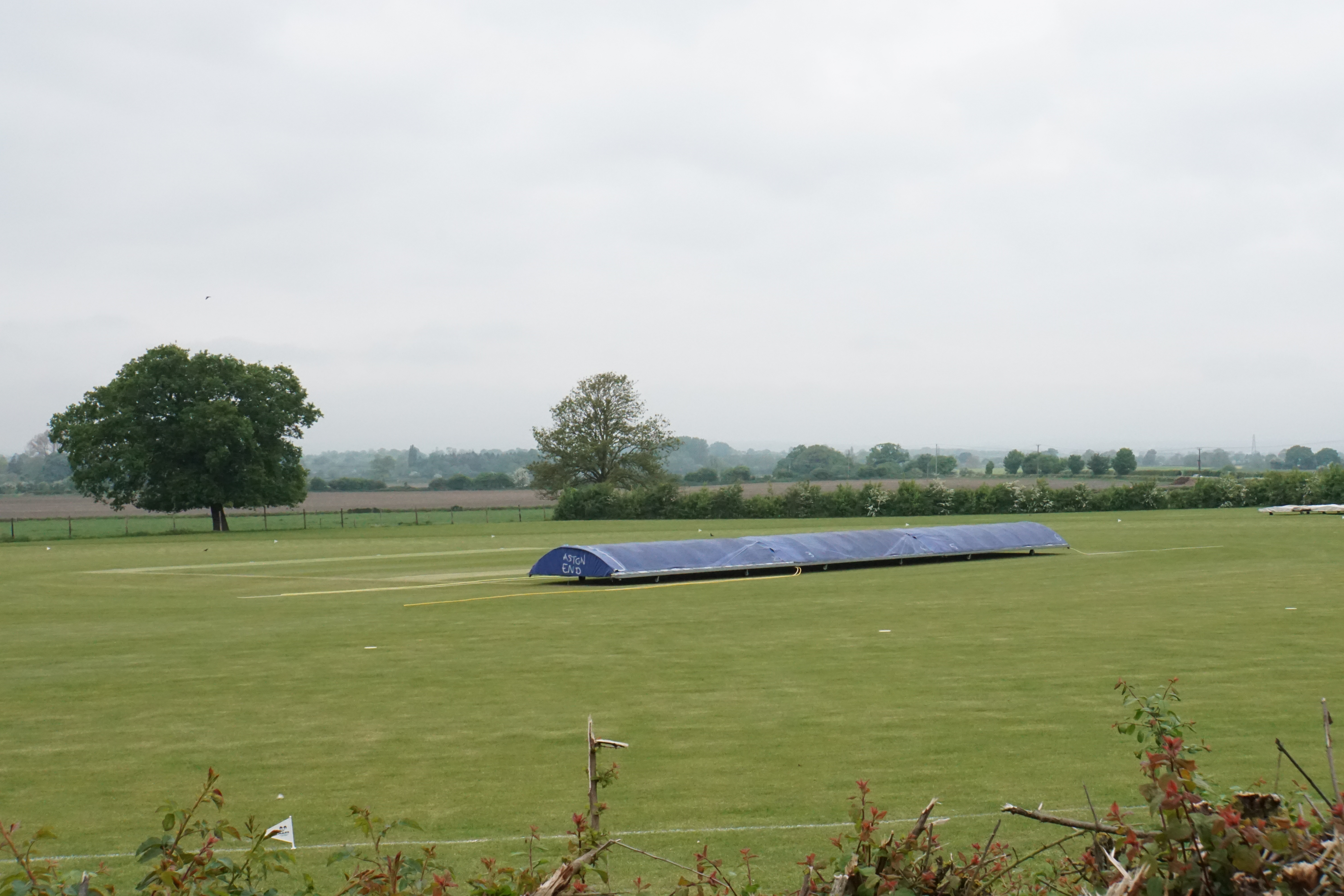
Butt's Way

Butt's Way is a cricket ground between the villages of Aston Rowant and Kingston Blount in Oxfordshire. == History == The cricket ground was established...

Adwell

Adwell is a village and civil parish about 3 miles (5 km) south of Thame in South Oxfordshire. The parish covers 443 acres (179 ha), == Demography == The...

Adwell House

Adwell House, Adwell, Oxfordshire, is a Grade II* listed building and the family seat of the Birch Reynardson family. == References == == External links... ==

Kingston Blount

Kingston Blount is a village about 4 miles (6.4 km) southeast of Thame in South Oxfordshire, England. The village is a spring line settlement at the foot...

Emmington

Emmington is a village in the civil parish of Chinnor, in the South Oxfordshire district, in the county of Oxfordshire, England. It is about 4.5 miles...

Nearby Amenities

Located within 500m of 51.702111,-0.961259
Power: tower
Lat/Long: 51.7052368/-0.9578441
Power: tower
Lat/Long: 51.7051178/-0.9620569
Power: tower
Lat/Long: 51.7049527/-0.9661891
Barrier: stile
Lat/Long: 51.702875/-0.9597259
Barrier: stile
Lat/Long: 51.7024169/-0.9599425
Barrier: stile
Lat/Long: 51.699717/-0.9663607
The data included in this document is from www.openstreetmap.org. The data is made available under ODbL.

Have you been to Chalford?

Leave your review of Chalford below (or comments, questions and feedback).