Bognieboll Wood

Wood, Forest in Aberdeenshire

Scotland

Bognieboll Wood

Moorland of Red Hill with fence, boundary stone and woodland The fence crosses the north end of Red Hill on Corrennie Moor. The boundary stone is unmarked - others seen in the area are cut with letters. Beyond the trees can be seen Green Hill.
Moorland of Red Hill with fence, boundary stone and woodland Credit: Trevor Littlewood

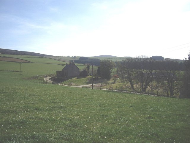
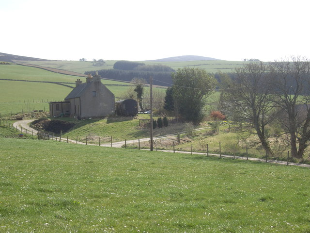
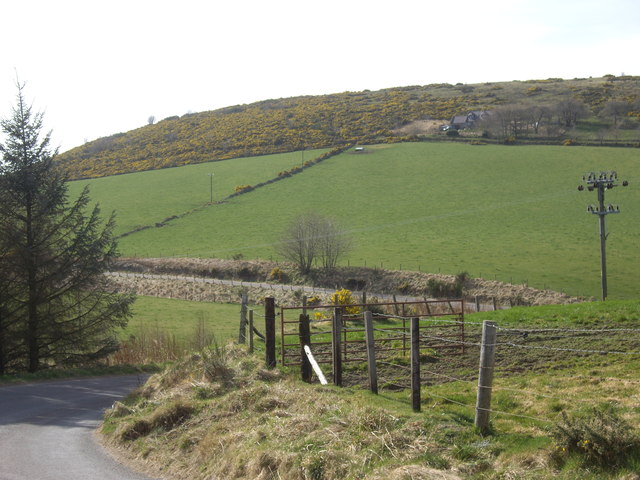
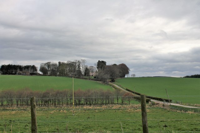
Bognieboll Wood is a picturesque forest located in Aberdeenshire, Scotland. Covering an area of approximately 50 hectares, this enchanting woodland is nestled in the rolling hills and lush countryside of the region. The wood is situated near the small village of Rothienorman, offering a tranquil escape from the bustling city life.

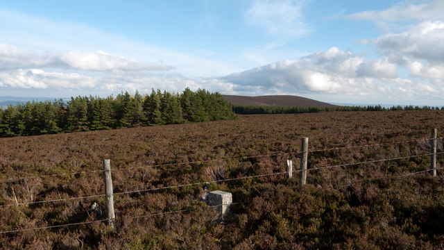
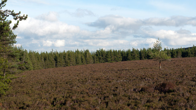
Bognieboll Wood is primarily composed of native broadleaf trees, such as oak, birch, and rowan. The diverse range of flora and fauna found within the forest creates a rich and vibrant ecosystem. Visitors can expect to encounter an array of wildlife, including deer, red squirrels, and a variety of bird species.

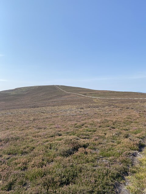
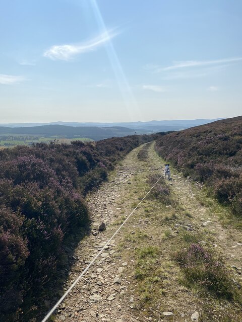
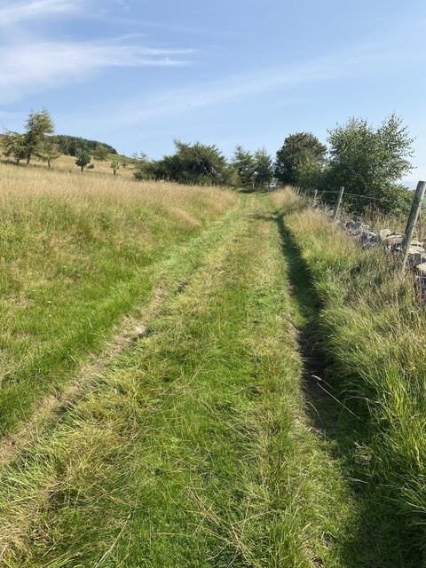
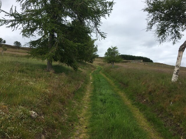
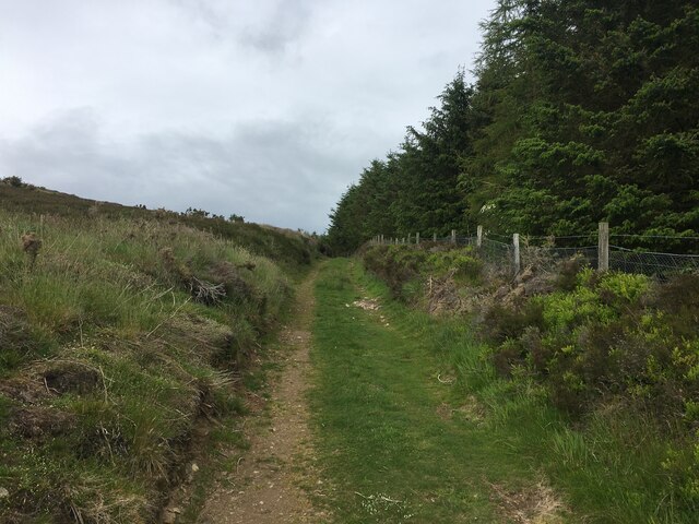
The wood is crisscrossed with a network of well-maintained walking paths, making it a popular destination for hikers and nature enthusiasts. These trails meander through the forest, allowing visitors to explore its hidden treasures at their own pace. The serene atmosphere and breathtaking scenery make it an ideal location for a leisurely stroll or a peaceful picnic.

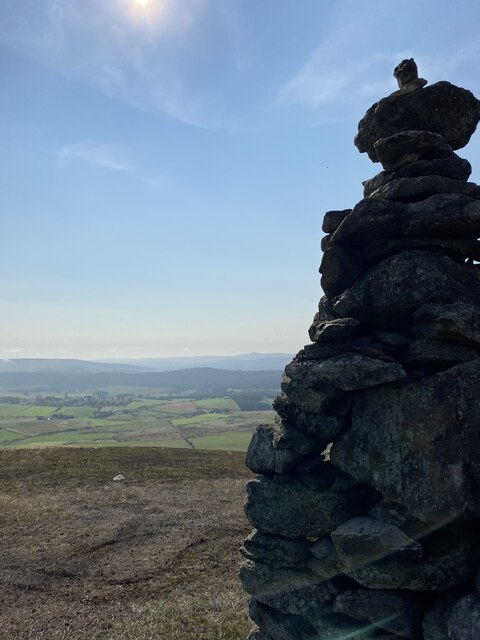
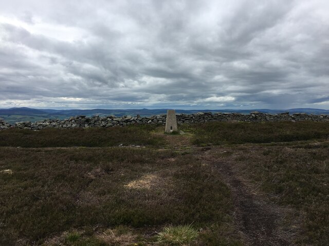
In addition to its natural beauty, Bognieboll Wood also holds historical significance. It is home to the remains of an ancient hillfort, which provides a fascinating glimpse into the area's past. Archaeological enthusiasts can explore the ruins and learn about the rich history of the region.

Overall, Bognieboll Wood in Aberdeenshire offers a captivating blend of natural splendor and cultural heritage. Whether you are seeking a peaceful retreat or an opportunity to immerse yourself in nature, this enchanting forest is sure to leave a lasting impression.

If you have any feedback on the listing, please let us know in the comments section below.

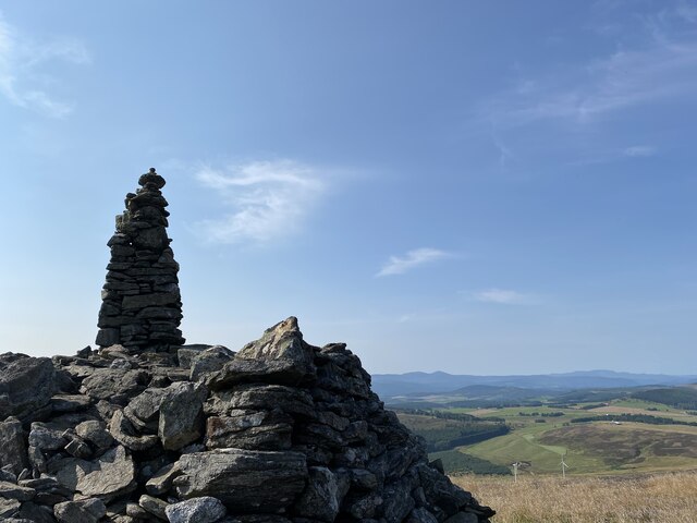
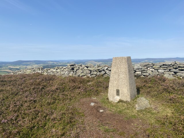
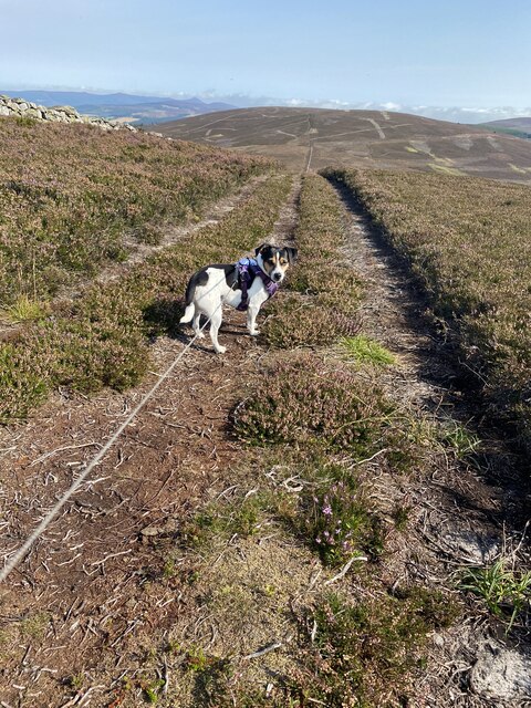
Bognieboll Wood Images

Images are sourced within 2km of 57.176085/-2.6585463 or Grid Reference NJ6009. Thanks to Geograph Open Source API. All images are credited.

Moorland of Red Hill with fence, boundary stone and woodland The fence crosses the north end of Red Hill on Corrennie Moor. The boundary stone is unmarked - others seen in the area are cut with letters. Beyond the trees can be seen Green Hill.
Moorland of Red Hill with fence, boundary stone and woodland
The fence crosses the north end of Red Hill on Corrennie Moor. The boundary stone is unmarked - others seen in the area are cut with letters. Beyond the trees can be seen Green Hill.
Heather moorland surrounded by trees North-east of Red Hill, part of Corrennie Moor, conifer plantings surround an area of heather moorland. A rogue tree stands alone.
Heather moorland surrounded by trees
North-east of Red Hill, part of Corrennie Moor, conifer plantings surround an area of heather moorland. A rogue tree stands alone.
Ardgowse Seen from the minor road between Tough and Craigievar.
Ardgowse
Seen from the minor road between Tough and Craigievar.
Former railway carriage by Ardgowse Serving as a steading, behind the farmhouse.
Former railway carriage by Ardgowse
Serving as a steading, behind the farmhouse.
Double bend in road near Ardgowse
Cairn near Benaquhallie
Benaquhallie Trig Point Flush Bracket S5259
Path that doesn't exist on the map!
View to Benaquhallie
Track on descent from Benaquhallie
Boundary Stone
Boundary Stone
Track to Upper Broomhill
View from Cairn near Benaquhallie
Farm track above Upper Broomhill
Hill track above Upper Broomhill
Trig point on Benaquhallie
Access to Easter Claymill From minor road between Tough and Craigievar.
Access to Easter Claymill
From minor road between Tough and Craigievar.
Tillyfour Farm Still a prominent farm this was the nineteenth century birthplace of the Aberdeen angus cattle breed.
Tillyfour Farm
Still a prominent farm this was the nineteenth century birthplace of the Aberdeen angus cattle breed.
Show me another place!

Bognieboll Wood is located at Grid Ref: NJ6009 (Lat: 57.176085, Lng: -2.6585463)

Unitary Authority: Aberdeenshire

Police Authority: North East

What 3 Words

///clincher.stewing.celebrate. Near Alford, Aberdeenshire

Related Wikis

Have you been to Bognieboll Wood?

Leave your review of Bognieboll Wood below (or comments, questions and feedback).