Berties Den Wood

Wood, Forest in Angus

Scotland

Berties Den Wood

West Drums
West Drums Credit: JThomas

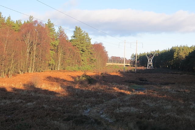
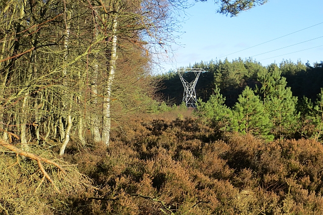
Berties Den Wood is a charming woodland located in the county of Angus, Scotland. This peaceful forest covers an area of approximately 20 hectares, providing visitors with a tranquil escape from the hustle and bustle of everyday life.

The wood is named after Berties Den, a natural feature within the forest. Berties Den is a large cave-like structure carved into the rock face, which has become a popular attraction for both locals and tourists alike. The den offers a unique opportunity for exploration and adventure, with its winding passageways and hidden corners.

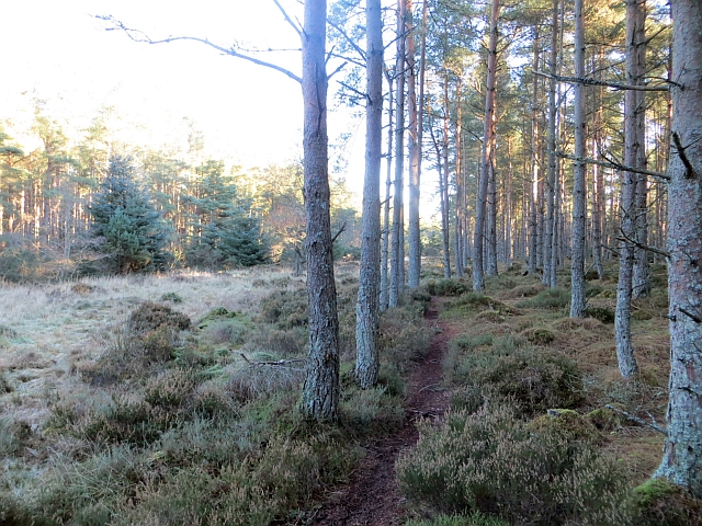
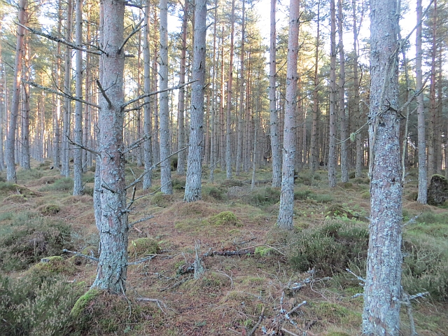
The woodland itself is predominantly made up of native Scottish trees, such as oak, birch, and rowan. These trees provide a rich habitat for a variety of wildlife, including birds, squirrels, and deer. Nature enthusiasts will be delighted by the chance to spot these creatures in their natural habitat.

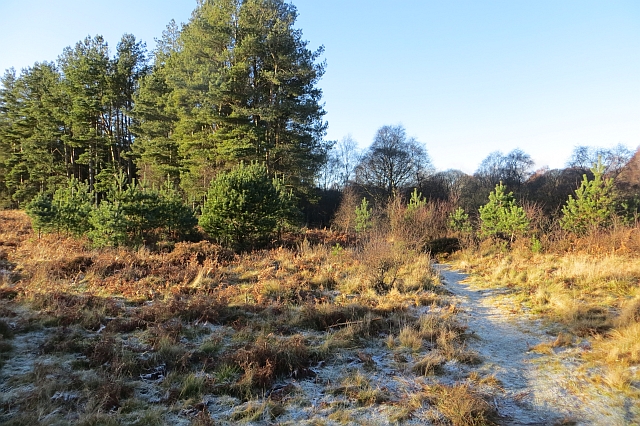
Berties Den Wood also offers a network of well-maintained walking trails, allowing visitors to explore the forest at their own pace. These trails wind their way through the woodland, offering picturesque views of the surrounding countryside and glimpses of the nearby river.

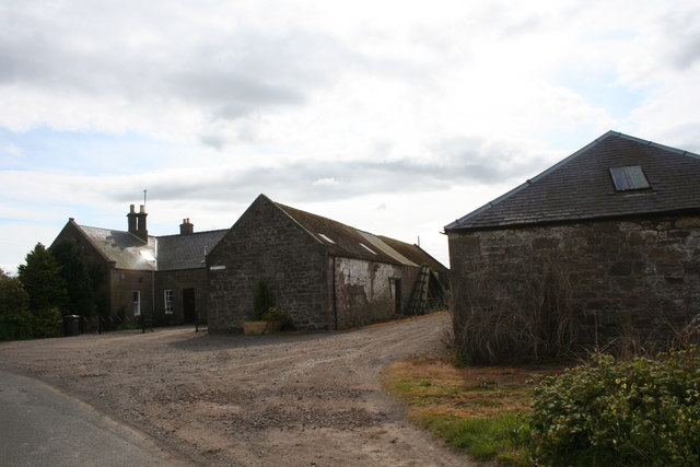
The wood is easily accessible, with a car park located nearby for visitors' convenience. There are also picnic areas dotted throughout the forest, providing the perfect spot for a leisurely lunch amidst nature. Berties Den Wood is a true gem in the heart of Angus, offering a serene and enchanting experience for all who visit.

If you have any feedback on the listing, please let us know in the comments section below.

Berties Den Wood Images

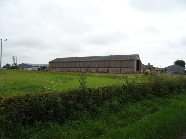
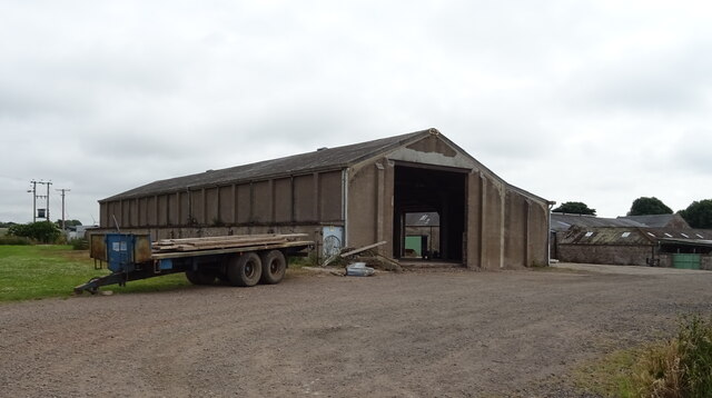
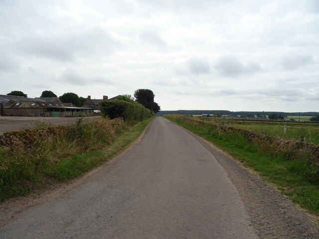
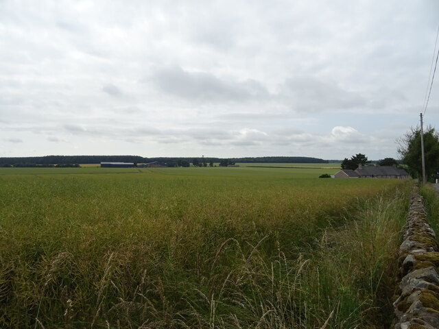
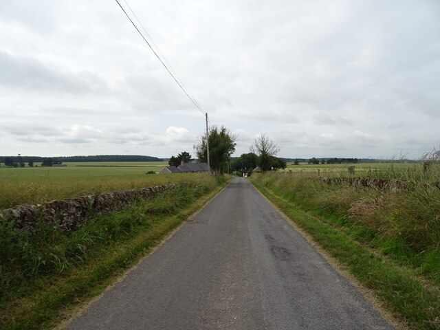
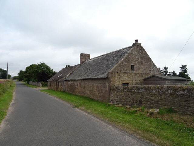
Images are sourced within 2km of 56.690291/-2.6619079 or Grid Reference NO5955. Thanks to Geograph Open Source API. All images are credited.

West Drums
West Drums
Barn, West Drums
Barn, West Drums
Minor road, West Drums
Oilseed rape crop, West Drums
Minor road towards Muirside of Aldbar
Ardovie Smithy
Ardovie Smithy
Pylons in Montreathmont Forest Pylons heading north-east through a clearing in Montreathmont Forest.
Pylons in Montreathmont Forest
Pylons heading north-east through a clearing in Montreathmont Forest.
Antenna on Montreathmont Moor Looking southwards to the antenna of the radio station on Montreathmont Moor.
Antenna on Montreathmont Moor
Looking southwards to the antenna of the radio station on Montreathmont Moor.
Muirside of Aldbar The roadside farm of Muisideof Aldbar by Brechin.
Muirside of Aldbar
The roadside farm of Muisideof Aldbar by Brechin.
Singletrack, Montreathmont I was very pleased to find this well drained path after taking a speculative detour trying to get into NO5854. Lots of runnable Scots pine forest as well.
Singletrack, Montreathmont
I was very pleased to find this well drained path after taking a speculative detour trying to get into NO5854. Lots of runnable Scots pine forest as well.
Scots pines, Montreathmont Forest Runnable pine woods in the eastern part of the forest which appeared to be more attractive than the Forestry Commission managed western part.
Scots pines, Montreathmont Forest
Runnable pine woods in the eastern part of the forest which appeared to be more attractive than the Forestry Commission managed western part.
The big ride, Montreathmont Forest A wide ride across the forest is a striking feature on the Ordnance Survey maps. It carries a power line. Here a path emerges from the forest.
The big ride, Montreathmont Forest
A wide ride across the forest is a striking feature on the Ordnance Survey maps. It carries a power line. Here a path emerges from the forest.
Power line, Montreathmont Forest The power line, on poles, is the reason for the diagonal ride across the maps.
Power line, Montreathmont Forest
The power line, on poles, is the reason for the diagonal ride across the maps.
Power line, Montreathmont Forest A wide ride crosses the forest and carries a power line on poles with the odd pylon.
Power line, Montreathmont Forest
A wide ride crosses the forest and carries a power line on poles with the odd pylon.
Montreathmont Forest There is a ruined fence here which corresponds to the purple plague on the Ordnance Survey maps.
Montreathmont Forest
There is a ruined fence here which corresponds to the purple plague on the Ordnance Survey maps.
Path, Ardovie Wood Path along the edge of Ardovie Wood. A high fence protects neighbouring farmland from deer.
Path, Ardovie Wood
Path along the edge of Ardovie Wood. A high fence protects neighbouring farmland from deer.
Logging road, Ardovie Wood A well surfaced road from the Muirton of Ardovie access route.
Logging road, Ardovie Wood
A well surfaced road from the Muirton of Ardovie access route.
Field, Muirside of Aldbar Farmland to the north of Montreathmont Forest.
Field, Muirside of Aldbar
Farmland to the north of Montreathmont Forest.
Show me another place!

Berties Den Wood is located at Grid Ref: NO5955 (Lat: 56.690291, Lng: -2.6619079)

Unitary Authority: Angus

Police Authority: Tayside

What 3 Words

///heartburn.admit.segmented. Near Brechin, Angus

Related Wikis

Nearby Amenities

Located within 500m of 56.690291,-2.6619079
Power: pole
Lat/Long: 56.6906558/-2.6627676
Power: pole
Lat/Long: 56.688647/-2.6640622
Power: pole
Lat/Long: 56.692784/-2.6614101
Power: pole
Lat/Long: 56.6875237/-2.664796
Power: pole
Lat/Long: 56.691782/-2.6620547
Power: pole
Lat/Long: 56.6898515/-2.6632803
Power: pole
Lat/Long: 56.6941767/-2.6605227
The data included in this document is from www.openstreetmap.org. The data is made available under ODbL.

Have you been to Berties Den Wood?

Leave your review of Berties Den Wood below (or comments, questions and feedback).