Brax Plantation
Wood, Forest in Angus
Scotland
Brax Plantation

Brax Plantation, located in Angus, Scotland, is a sprawling estate known for its lush woodlands and thriving forest. Spanning over hundreds of acres, the plantation is a haven for nature enthusiasts and a valuable ecological asset in the region. The plantation boasts a diverse range of tree species, including oak, birch, beech, and pine, creating a picturesque landscape that attracts visitors from near and far.
The woodland of Brax Plantation is meticulously maintained, with a dedicated team of forestry professionals ensuring the preservation of its natural beauty. The trees are regularly inspected and cared for, with any necessary interventions carried out to maintain their health and vitality. The plantation also employs sustainable forestry practices, aiming to strike a balance between the conservation of the environment and the utilization of its resources.
Aside from its ecological significance, Brax Plantation offers various recreational activities for visitors. There are well-maintained trails that wind through the woodland, providing opportunities for hiking, biking, and nature walks. The plantation also offers guided tours, where visitors can learn about the diverse flora and fauna that call this forest home.
Brax Plantation is not only a place of natural splendor but also holds historical significance. The estate has been in the possession of the Braxton family for generations, with its origins dating back to the 18th century. The family takes great pride in preserving the plantation's heritage and ensuring its continued conservation for future generations to enjoy.
If you have any feedback on the listing, please let us know in the comments section below.
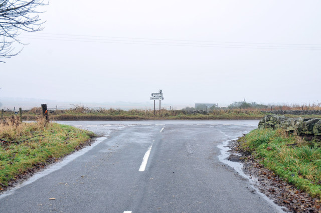
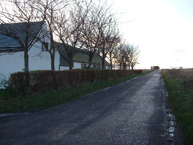
Brax Plantation Images
Images are sourced within 2km of 56.576411/-2.6599651 or Grid Reference NO5942. Thanks to Geograph Open Source API. All images are credited.


Brax Plantation is located at Grid Ref: NO5942 (Lat: 56.576411, Lng: -2.6599651)
Unitary Authority: Angus
Police Authority: Tayside
What 3 Words
///forgets.material.patching. Near Arbroath, Angus
Nearby Locations
Related Wikis

Cuthlie railway station
Cuthlie railway station served the area near Cuthlie Farm in Cuthlie, Angus, Scotland from 1900 to 1965 on the Carmyllie Railway. == History == The station...

Denhead railway station
Denhead railway station served the area of Denhead, Angus, Scotland from 1900 to 1929 on the Carmyllie Railway. == History == The station opened on 1 February...
45 Commando
45 Commando Royal Marines (pronounced "four-five commando") is a battalion sized unit of the British Royal Marines and subordinate unit within 3 Commando...

RM Condor
RM Condor is a large Royal Marines base located near Arbroath in East Angus, Scotland. The base also houses 7 (Sphinx) Battery Royal Artillery, part of...
Nearby Amenities
Located within 500m of 56.576411,-2.6599651Have you been to Brax Plantation?
Leave your review of Brax Plantation below (or comments, questions and feedback).