Bairns Plantation
Wood, Forest in Berwickshire
Scotland
Bairns Plantation

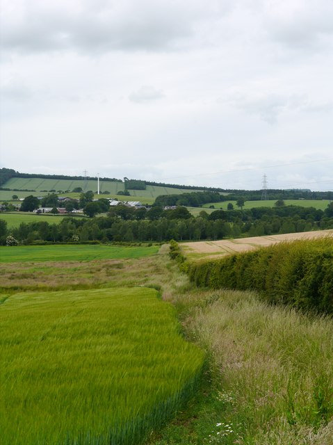
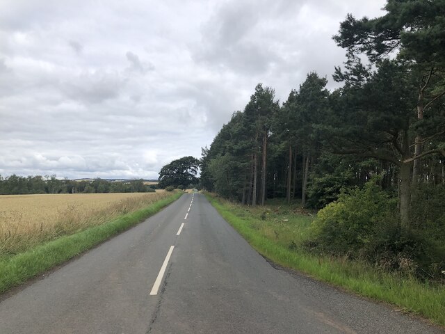
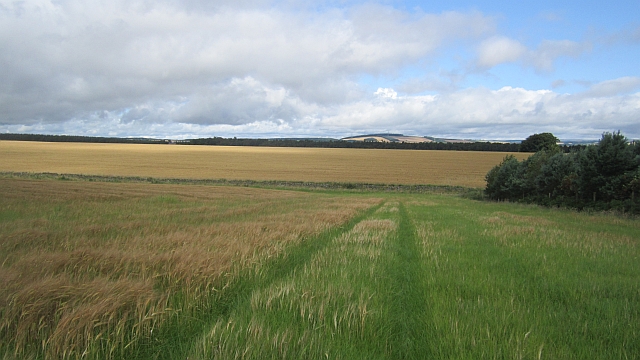
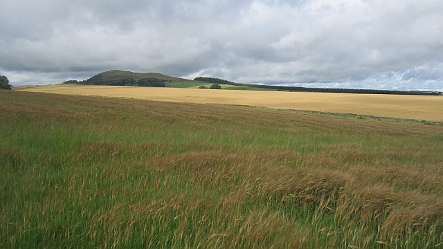
Bairns Plantation is an expansive woodland located in Berwickshire, a historic county in southeastern Scotland. Stretching over several hectares, this forested area is a natural haven for both locals and visitors seeking tranquility and outdoor activities.
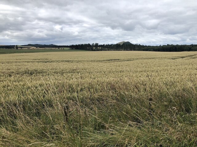
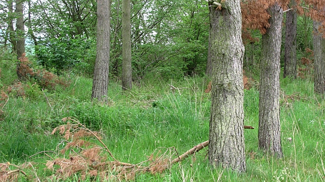
The woodland is characterized by a diverse range of tree species, including oak, beech, and birch, which create a picturesque landscape throughout the year. The dense canopy provides a sheltered environment for various wildlife species, such as red squirrels, roe deer, and numerous bird species. Nature enthusiasts can observe these creatures in their natural habitat while exploring the well-maintained trails that wind through the plantation.
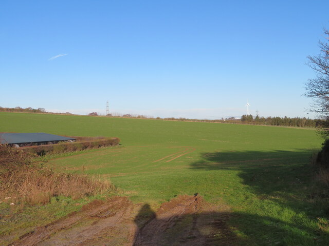
Bairns Plantation offers ample opportunities for outdoor recreation. Hiking and walking enthusiasts can enjoy the network of paths that crisscross the woodland, catering to different levels of difficulty. These trails lead visitors through enchanting glades, past babbling brooks, and to breathtaking viewpoints that offer panoramic vistas of the surrounding countryside.
The woodland is also a popular spot for picnics and family outings, with designated areas providing facilities for barbecues and gatherings. These amenities make Bairns Plantation an ideal destination for a day trip, allowing visitors to immerse themselves in nature and disconnect from the hustle and bustle of everyday life.
Thanks to its strategic location and natural beauty, Bairns Plantation has become a cherished landmark in Berwickshire, attracting nature enthusiasts, locals, and tourists alike. Its rich biodiversity, well-maintained trails, and family-friendly amenities make it a must-visit destination for anyone seeking a peaceful and rejuvenating experience in the heart of Scotland's countryside.
If you have any feedback on the listing, please let us know in the comments section below.
Bairns Plantation Images
Images are sourced within 2km of 55.640724/-2.6444092 or Grid Reference NT5938. Thanks to Geograph Open Source API. All images are credited.

![Addinstone Poultry Farm One of several poultry farms on this very minor road [it becomes a track] between Morriston and Birkenside.](https://s2.geograph.org.uk/geophotos/07/35/95/7359562_d41662ed.jpg)
![Addinstone Poultry Farm One of several poultry farms on this very minor road [it becomes a track] between Morriston and Birkenside.](https://s3.geograph.org.uk/geophotos/07/35/95/7359567_881f472c.jpg)
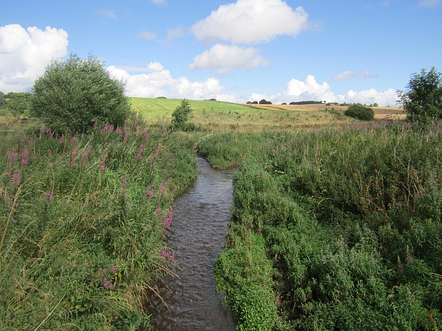
![Farmland near Fans There is an old railway here, the Berwickshire Railway [Reston-Duns-St Boswells], but its course here is not evident; the photo was taken from the road bridge over. The watercourse eventually becomes the Turfford Burn.](https://s3.geograph.org.uk/geophotos/07/36/02/7360271_ae7efa59.jpg)
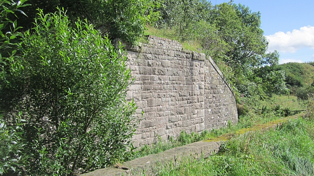
![Old Berwickshire Railway bridge A bridge over the railway and adjacent burn. Looking northwest to the A6105 [Earlston-Gordon] road.](https://s3.geograph.org.uk/geophotos/07/36/03/7360315_1379f6bd.jpg)

Bairns Plantation is located at Grid Ref: NT5938 (Lat: 55.640724, Lng: -2.6444092)
Unitary Authority: The Scottish Borders
Police Authority: The Lothians and Scottish Borders
What 3 Words
///stocky.iterative.shelf. Near Earlston, Scottish Borders
Nearby Locations
Related Wikis

Earlston High School
Earlston High School is a secondary school in Earlston, Scottish Borders. It serves Earlston, as well as the surrounding area. Since 2009, the school has...

Earlston railway station
Earlston railway station, in the Scottish Borders village of Earlston, was a station on the now disused Berwickshire Railway.There were two platforms...
Earlston
Earlston (Scots: Yerlston; Scottish Gaelic: Dùn Airchill) is a civil parish and market town in the county of Berwickshire, within the Scottish Borders...

A6105 road
The A6105 road is an A road in the Scottish Borders, Scotland and Northumberland, England. It runs from the village of Earlston to Berwick on Tweed going...

Rhymer's Tower
Rhymer's Tower, also known as Earlston Castle, is located near the village of Earlston, Scottish Borders, Scotland. The castle was the caput baroniae of...
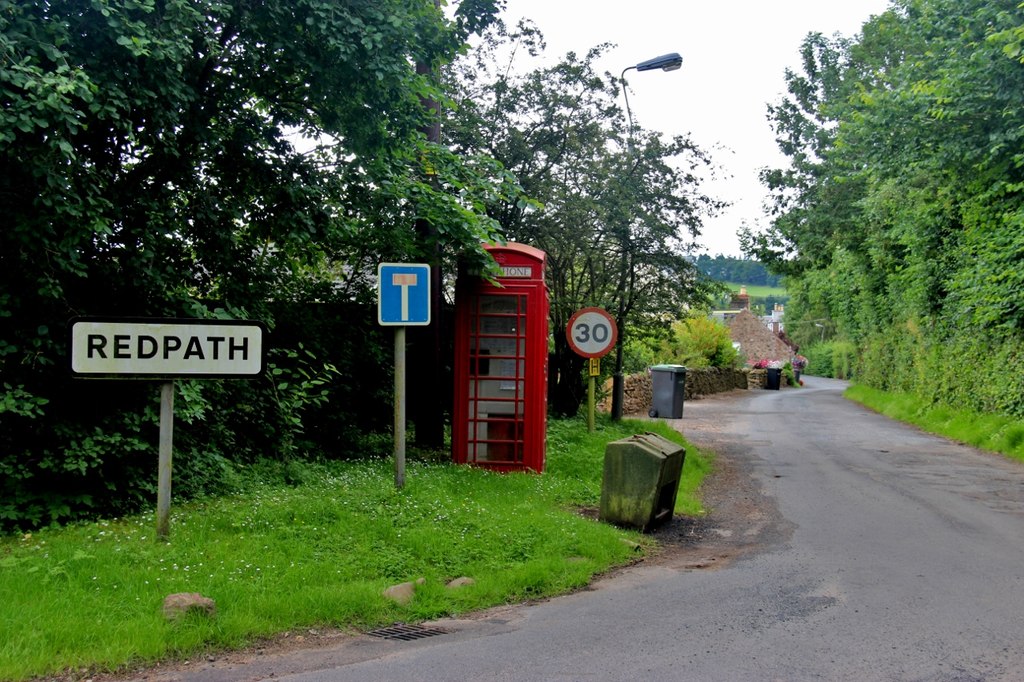
Redpath, Scottish Borders
Redpath (Scots: Rippath) is a small village located between the larger settlements of Earlston, 2 miles (3.2 km) to the north, and St Boswells, 3 miles...

Carolside, Scottish Borders
Carolside is an estate by the Leader Water, in the Scottish Borders. It is located one mile (1.6 km) north of Earlston, in the former county of Berwickshire...
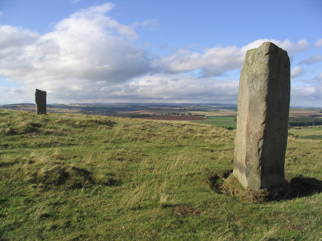
Brotherstone Hill
Brotherstone Hill is a hill near St. Boswells and the Eildon Hills in the Scottish Borders area of Scotland, with two standing stones from the megalithic...
Nearby Amenities
Located within 500m of 55.640724,-2.6444092Have you been to Bairns Plantation?
Leave your review of Bairns Plantation below (or comments, questions and feedback).