Scaur Plantation
Wood, Forest in Roxburghshire
Scotland
Scaur Plantation

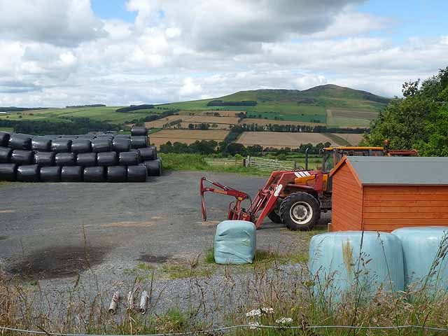
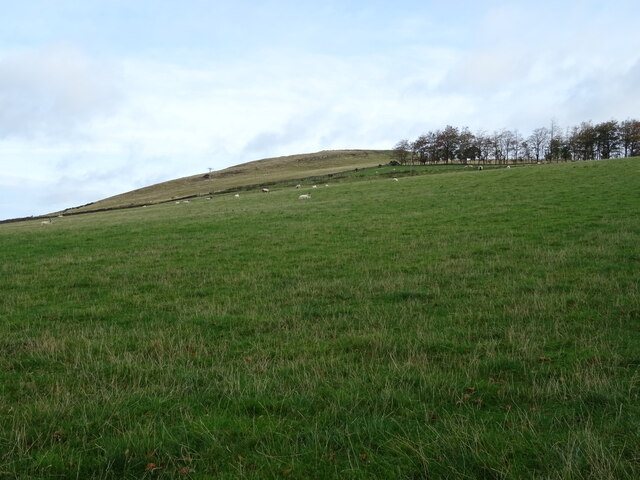
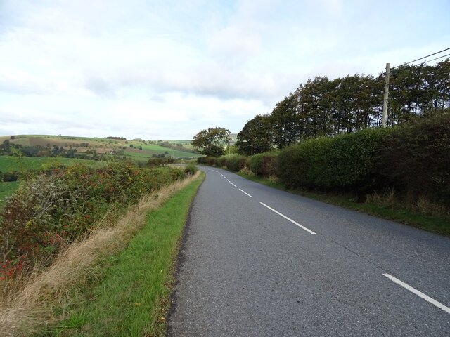
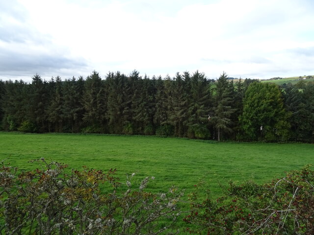
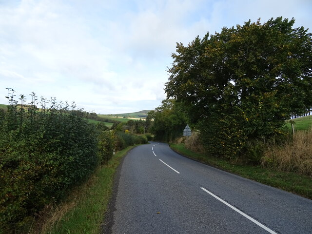
Scaur Plantation is a picturesque wood located in Roxburghshire, Scotland. Covering a vast area, it is a popular destination for nature enthusiasts and outdoor adventurers alike. The plantation is situated on the banks of the River Scaur, which adds to its scenic charm.
The woodland is predominantly composed of native tree species, including oak, birch, and beech. These towering trees create a dense canopy, providing a habitat for a diverse range of wildlife. Visitors to the plantation can expect to encounter a variety of bird species, such as woodpeckers, owls, and various songbirds. Red squirrels are also a common sight, scurrying through the branches.
Tranquil walking trails wind their way through the plantation, offering visitors the opportunity to immerse themselves in the natural beauty of the surroundings. The paths are well-maintained, making it accessible for people of all ages and abilities. As visitors stroll through the woodland, they are treated to stunning views of the River Scaur, as well as occasional glimpses of the surrounding countryside.
Scaur Plantation is a haven for outdoor activities, with ample space for picnics and barbecues. It is also a popular spot for nature photography, with countless opportunities to capture the beauty of the woodlands and its inhabitants.
Overall, Scaur Plantation is a must-visit destination for those seeking a peaceful retreat in the heart of nature. Its stunning scenery, diverse wildlife, and well-maintained trails make it a truly enchanting place to explore.
If you have any feedback on the listing, please let us know in the comments section below.
Scaur Plantation Images
Images are sourced within 2km of 55.407666/-2.6458529 or Grid Reference NT5912. Thanks to Geograph Open Source API. All images are credited.


Scaur Plantation is located at Grid Ref: NT5912 (Lat: 55.407666, Lng: -2.6458529)
Unitary Authority: The Scottish Borders
Police Authority: The Lothians and Scottish Borders
What 3 Words
///matter.slogans.catapult. Near Hawick, Scottish Borders
Nearby Locations
Related Wikis

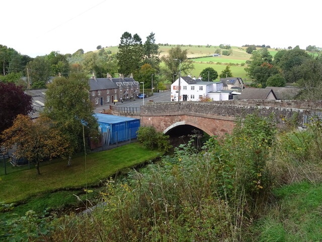
Bonchester Bridge
Bonchester Bridge (Scots Binster Brig) is a village in Roxburghshire, within the Scottish Borders area of Scotland, lying on the Rule Water, six miles...

Hallrule
Hallrule is a hamlet on the B6357 road, in the Scottish Borders area of Scotland, on the Rule Water, near Abbotrule, Bedrule Bonchester Bridge, Denholm...

Abbotrule
Abbotrule is a hamlet south of the B6357 road, in the Scottish Borders area of Scotland, on Rule Burn, east of the Rule Water. Places nearby include Bedrule...

Hobkirk
Hobkirk (Scottish Gaelic: Eaglais Ruail) is a village and civil parish in the Scottish Borders area of Scotland, by the Rule Water, south-west of Jedburgh...

Rubers Law
Rubers Law is a prominent, conical hill in the Scottish Borders area of south-east Scotland. It stands on the south bank of the River Teviot, between the...
Fulton Tower
Fulton Tower is a ruined 16th century tower house, about 4.5 miles (7.2 km) south west of Jedburgh, Scottish Borders, Scotland, and about 2 miles (3.2...

Wauchope, Scottish Borders
Wauchope is a hamlet in the Scottish Borders council area of Scotland, near Southdean. Wauchope House was demolished in 1932. == See also == Wauchope Forest...

Bedrule
Bedrule (Scottish Gaelic: Ruail Bheathaig) is a hamlet and civil parish in the historic county of Roxburghshire in the Scottish Borders area of Scotland...
Related Videos

BONCHESTER BRIDGE LOOP
Hello Jamie here and with another video. So after my massive Ruberslaw walk, somehow in the afternoon period. I managed to ...
Nearby Amenities
Located within 500m of 55.407666,-2.6458529Have you been to Scaur Plantation?
Leave your review of Scaur Plantation below (or comments, questions and feedback).