Black Cleuch Wood

Wood, Forest in Roxburghshire

Scotland

Black Cleuch Wood

B6357 towards Bonchester Bridge
B6357 towards Bonchester Bridge Credit: Steven Brown

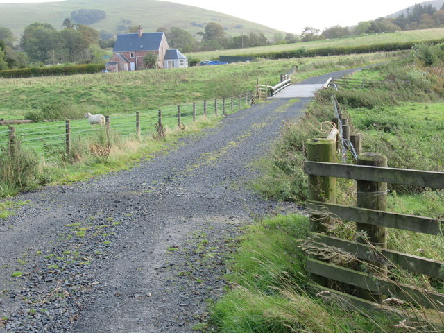
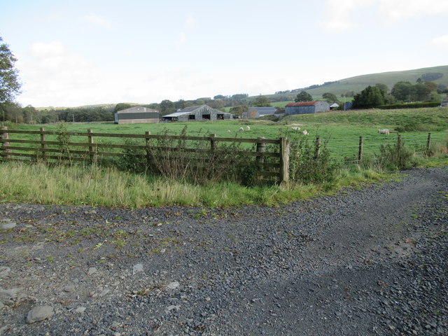
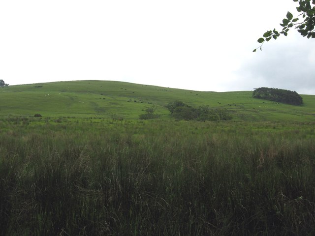
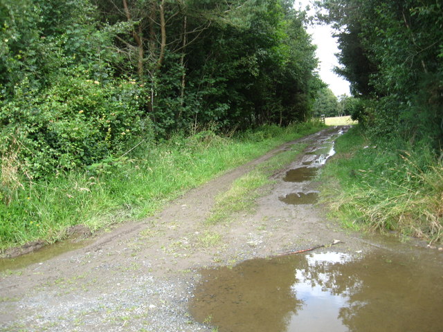
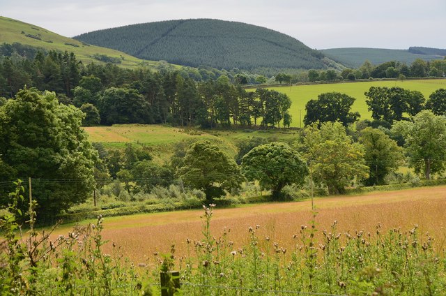
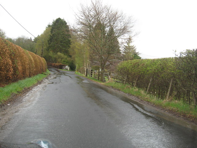
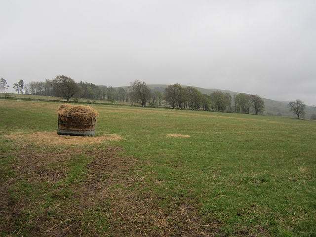
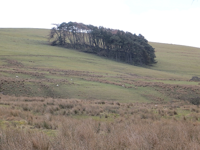
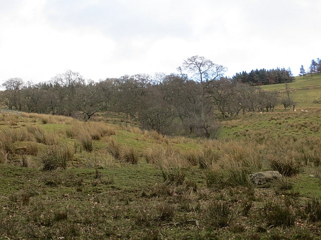
Black Cleuch Wood is a picturesque forest located in Roxburghshire, Scotland. Covering an area of approximately 100 hectares, this enchanting woodland is nestled in the beautiful Scottish Borders region. The wood is situated near the village of Ettrickbridge, offering a serene and peaceful escape for nature enthusiasts and outdoor lovers.

The wood is predominantly composed of native broadleaf species, including oak, birch, and rowan trees, which create a diverse and vibrant ecosystem. The forest floor is adorned with a rich carpet of wildflowers and ferns, adding to its natural beauty. The dense canopy of trees provides a sheltered habitat for a variety of wildlife, including red squirrels, roe deer, and numerous bird species such as woodpeckers and owls.

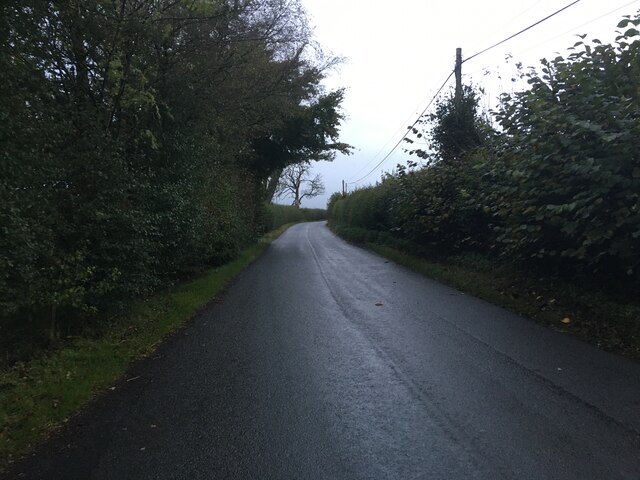
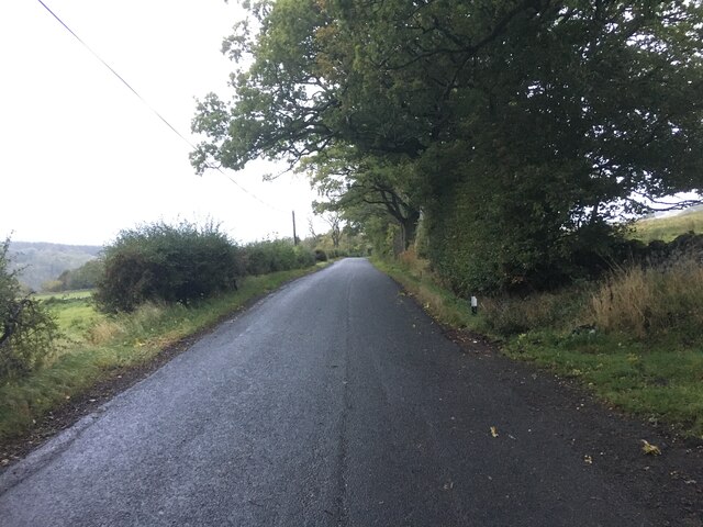
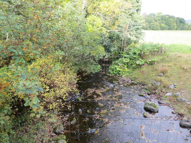
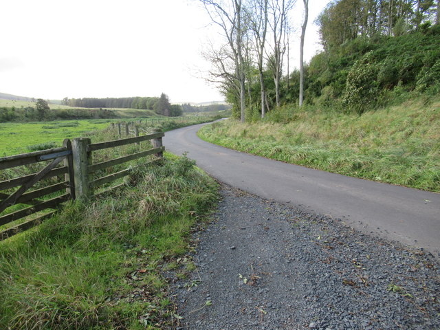
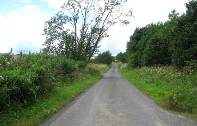
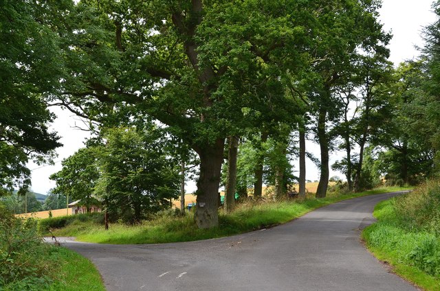
Tranquil walking trails meander through the wood, offering visitors the opportunity to explore its wonders. These paths are well-maintained and accessible, making it suitable for all ages and abilities. The gentle babbling of the nearby Black Cleuch Burn enhances the serene atmosphere, providing a soothing soundtrack to the woodland experience.

Black Cleuch Wood is not only a haven for wildlife but also an important historical site. The wood is part of the larger Ettrick Forest, which has a rich history dating back centuries. It was once a royal hunting ground and served as inspiration for renowned Scottish poet James Hogg, who hailed from the area.

Overall, Black Cleuch Wood is a captivating destination that showcases the natural beauty of Roxburghshire. Whether visitors seek a peaceful stroll, birdwatching opportunities, or a chance to connect with nature, this woodland provides an idyllic setting for all.

If you have any feedback on the listing, please let us know in the comments section below.

Black Cleuch Wood Images

Images are sourced within 2km of 55.382777/-2.6471675 or Grid Reference NT5910. Thanks to Geograph Open Source API. All images are credited.

B6357 towards Bonchester Bridge
Ordnance Survey Flush Bracket 11419 This can be found on the parapet wall of a bridge over Catlee Burn at Forkins.
For more detail see : <span class="nowrap"><a title="http://www.bench-marks.org.uk/bm16610" rel="nofollow ugc noopener" href="http://www.bench-marks.org.uk/bm16610">Link</a><img style="margin-left:2px;" alt="External link" title="External link - shift click to open in new window" src="https://s1.geograph.org.uk/img/external.png" width="10" height="10"/></span>
Ordnance Survey Flush Bracket 11419
This can be found on the parapet wall of a bridge over Catlee Burn at Forkins. For more detail see : LinkExternal link
Catlee Burn viewed from the bridge at Forkins Looking north-westward.
Catlee Burn viewed from the bridge at Forkins
Looking north-westward.
Bridge across Harwood burn to cottage near Hobkirk in the Scottish Borders As yet unmapped and unsatted!!
Bridge across Harwood burn to cottage near Hobkirk in the Scottish Borders
As yet unmapped and unsatted!!
Track junction with public road near Hobkirk in the Scottish Borders
Grazing lands on Wolflee Hill In Roxburghshire.
Grazing lands on Wolflee Hill
In Roxburghshire.
Track through the plantation At Unthank Wood in Roxburghshire.
Track through the plantation
At Unthank Wood in Roxburghshire.
Country lane heading for Highend Farm In Roxburghshire.
Country lane heading for Highend Farm
In Roxburghshire.
Forestry beyond the fields, Harwoodmill A view across the catchment of the Rule Water to the forested Wolfhopelee Hill, at the N end of the extensive Wauchope Forest.
Forestry beyond the fields, Harwoodmill
A view across the catchment of the Rule Water to the forested Wolfhopelee Hill, at the N end of the extensive Wauchope Forest.
Road junction near Forkins A sign on the tree indicates 'Harwood' to the left.
Road junction near Forkins
A sign on the tree indicates 'Harwood' to the left.
The B6357heading south towards Wolfelee in Roxburghshire
Field above Cleuch Head Grass field with left overs from Winter.
Field above Cleuch Head
Grass field with left overs from Winter.
Field under Wolfelee Hill Rashy ground beside the B6357.
Field under Wolfelee Hill
Rashy ground beside the B6357.
Wolfelee Hill A circular wood on Wolfelee Hill. This is what the now forested Wauchope would have been like judging by evidence of old maps.
Wolfelee Hill
A circular wood on Wolfelee Hill. This is what the now forested Wauchope would have been like judging by evidence of old maps.
Alder wood, Wolfelee
Grass track northeast of Wolfelee Hill
Show me another place!

Black Cleuch Wood is located at Grid Ref: NT5910 (Lat: 55.382777, Lng: -2.6471675)

Unitary Authority: The Scottish Borders

Police Authority: The Lothians and Scottish Borders

What 3 Words

///only.toggle.snoozing. Near Hawick, Scottish Borders

Related Wikis

Hobkirk

Hobkirk (Scottish Gaelic: Eaglais Ruail) is a village and civil parish in the Scottish Borders area of Scotland, by the Rule Water, south-west of Jedburgh...

Wauchope, Scottish Borders

Wauchope is a hamlet in the Scottish Borders council area of Scotland, near Southdean. Wauchope House was demolished in 1932. == See also == Wauchope Forest...

Bonchester Bridge

Bonchester Bridge (Scots Binster Brig) is a village in Roxburghshire, within the Scottish Borders area of Scotland, lying on the Rule Water, six miles...

Abbotrule

Abbotrule is a hamlet south of the B6357 road, in the Scottish Borders area of Scotland, on Rule Burn, east of the Rule Water. Places nearby include Bedrule...

Hallrule

Hallrule is a hamlet on the B6357 road, in the Scottish Borders area of Scotland, on the Rule Water, near Abbotrule, Bedrule Bonchester Bridge, Denholm...

Southdean

Southdean is a hamlet in the Scottish Borders area of Scotland, on the A6088, by the Jed Water and in the Wauchope Forest area. Other settlements nearby...

Rubers Law

Rubers Law is a prominent, conical hill in the Scottish Borders area of south-east Scotland. It stands on the south bank of the River Teviot, between the...

Fulton Tower

Fulton Tower is a ruined 16th century tower house, about 4.5 miles (7.2 km) south west of Jedburgh, Scottish Borders, Scotland, and about 2 miles (3.2...

Nearby Amenities

Located within 500m of 55.382777,-2.6471675
Cleuch Head
Place: hamlet
Lat/Long: 55.3827825/-2.6515403
Generator Method: photovoltaic
Generator Output Electricity: yes
Generator Source: solar
Generator Type: solar_photovoltaic_panel
Power: generator
Lat/Long: 55.3836503/-2.6464127
Generator Method: photovoltaic
Generator Output Electricity: yes
Generator Source: solar
Generator Type: solar_photovoltaic_panel
Power: generator
Lat/Long: 55.3834689/-2.648949
Generator Method: photovoltaic
Generator Output Electricity: yes
Generator Source: solar
Generator Type: solar_photovoltaic_panel
Power: generator
Lat/Long: 55.3819524/-2.6525253
Power: pole
Lat/Long: 55.3849035/-2.6540691
Power: pole
Lat/Long: 55.3841849/-2.6541913
Power: pole
Lat/Long: 55.3834649/-2.6543236
Power: pole
Lat/Long: 55.3827666/-2.6544483
Power: pole
Lat/Long: 55.3820466/-2.6545756
Power: pole
Lat/Long: 55.3829936/-2.6522112
Power: pole
Lat/Long: 55.3826394/-2.6523181
Power: pole
Lat/Long: 55.3822736/-2.6524377
Power: pole
Lat/Long: 55.3818846/-2.6523665
Power: pole
Lat/Long: 55.38162/-2.6523334
Power: pole
Lat/Long: 55.3816388/-2.653018
Power: pole
Lat/Long: 55.3816562/-2.6537154
Power: pole
Lat/Long: 55.3816865/-2.6544127
Power: pole
Lat/Long: 55.3834165/-2.6447694
Power: pole
Lat/Long: 55.3790159/-2.6476402
Power: pole
Lat/Long: 55.379488/-2.6493111
Power: pole
Lat/Long: 55.3801835/-2.6496241
Power: pole
Lat/Long: 55.3808342/-2.6499155
Power: pole
Lat/Long: 55.3814313/-2.6501828
Power: pole
Lat/Long: 55.3820227/-2.6504449
Power: pole
Lat/Long: 55.3824478/-2.6495923
Power: pole
Lat/Long: 55.3829394/-2.6485692
Power: pole
Lat/Long: 55.3832256/-2.647994
Power: pole
Lat/Long: 55.3838408/-2.6452249
Power: pole
Lat/Long: 55.3829618/-2.6443024
Power: pole
Lat/Long: 55.3829198/-2.6436279
Power: pole
Lat/Long: 55.3828714/-2.6429229
Power: pole
Lat/Long: 55.3832408/-2.6440924
Power: pole
Lat/Long: 55.3834994/-2.6438964
Power: pole
Lat/Long: 55.3787549/-2.6503228
The data included in this document is from www.openstreetmap.org. The data is made available under ODbL.

Have you been to Black Cleuch Wood?

Leave your review of Black Cleuch Wood below (or comments, questions and feedback).