Middleton Wood
Wood, Forest in Angus
Scotland
Middleton Wood
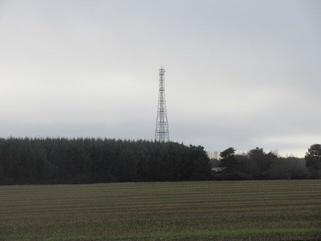
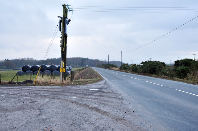
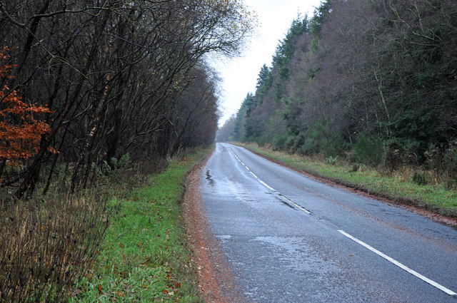
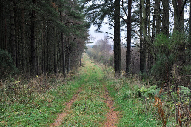
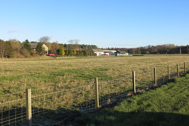
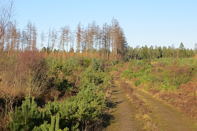
Middleton Wood is a beautiful forest located in the Angus region of Scotland. Covering an area of approximately 100 hectares, it is a haven for nature lovers and outdoor enthusiasts. The wood is situated near the town of Forfar and is easily accessible by both car and public transportation.
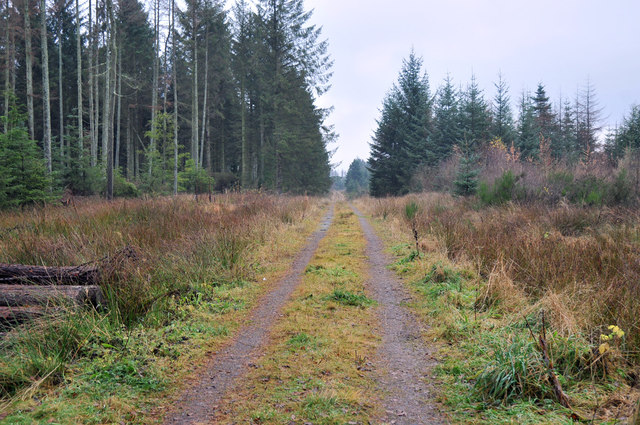
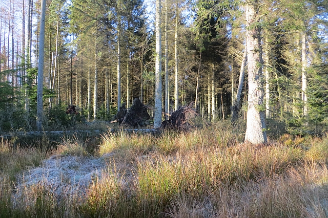
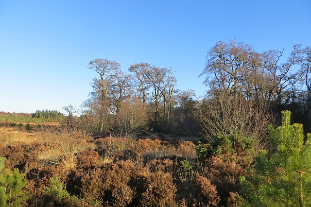
The wood is predominantly made up of native broadleaf trees, such as oak, birch, and ash, which create a diverse and vibrant ecosystem. The dense foliage provides shelter and food for a variety of wildlife, including roe deer, red squirrels, and a wide range of bird species. Visitors can often spot these animals while walking along the well-marked trails that crisscross the wood.
Middleton Wood is also known for its rich history and archaeological significance. The remains of an Iron Age fort can be found within the forest, offering a glimpse into the region's past. Additionally, there are several ancient burial mounds scattered throughout the wood, adding an air of mystery and intrigue.
For those seeking a peaceful and tranquil escape, Middleton Wood offers a range of recreational activities. Picnic areas are available for visitors to enjoy a leisurely meal amidst the natural beauty of the forest. The wood is also a popular spot for hiking, birdwatching, and photography, with its stunning vistas and picturesque landscapes.
Overall, Middleton Wood is a must-visit destination for anyone looking to connect with nature and explore the rich history and biodiversity of the Angus region.
If you have any feedback on the listing, please let us know in the comments section below.
Middleton Wood Images
Images are sourced within 2km of 56.660948/-2.6705288 or Grid Reference NO5852. Thanks to Geograph Open Source API. All images are credited.


Middleton Wood is located at Grid Ref: NO5852 (Lat: 56.660948, Lng: -2.6705288)
Unitary Authority: Angus
Police Authority: Tayside
What 3 Words
///splat.appoints.weeks. Near Friockheim, Angus
Nearby Locations
Related Wikis

Glasterlaw railway station
Glasterlaw railway station served the area of Glasterlaw, Angus, Scotland from 1848 to 1956 on the Aberdeen Railway. == History == The station opened on...

RAF Kinnell
Royal Air Force Kinnell or more simply RAF Kinnell is a former Royal Air Force satellite station located near to Friockheim, Angus, Scotland. == History... ==

Friockheim
Friockheim is a village in Angus, Scotland dating from 1814. It lies between the towns of Arbroath, Brechin, Forfar and Montrose. == History == The name...
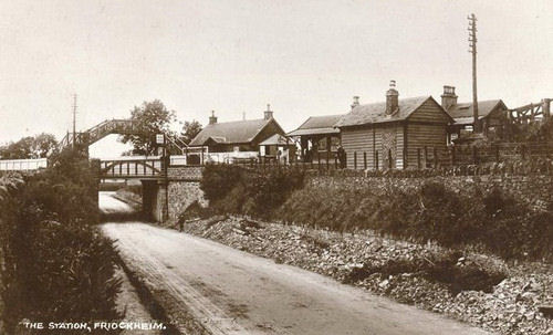
Friockheim railway station
Friockheim railway station served the village of Friockheim, Angus, Scotland from 1838 to 1955 on the Arbroath and Forfar Railway. == History == The station...

Guthrie, Angus
Guthrie is a village in Angus, Scotland, roughly at the centre point of the towns of Arbroath, Brechin and Forfar. The principal building in the village...

Guthrie railway station
Guthrie railway station served the village of Guthrie, Angus, Scotland from 1838 to 1955 on the Arbroath and Forfar Railway. == History == The station...

Guthrie Castle
Guthrie Castle is a castle and country house in Angus, Scotland. It is located in the village of Guthrie, 10 kilometres (6.2 mi) east of Forfar, and 29...

Gardyne Castle
Gardyne Castle is a 16th-century tower house in Angus, Scotland. It is located 2 kilometres (1.2 mi) south-west of Friockheim. The castle is still in use...
Have you been to Middleton Wood?
Leave your review of Middleton Wood below (or comments, questions and feedback).