Birkhall Wood

Wood, Forest in Aberdeenshire

Scotland

Birkhall Wood

A93 towards Banchory
A93 towards Banchory Credit: Steven Brown

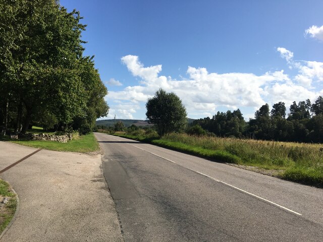
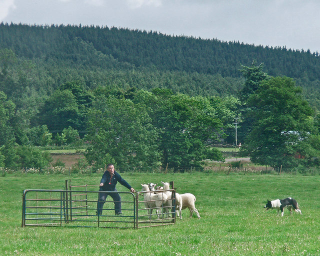
Birkhall Wood is a stunning forest located in Aberdeenshire, Scotland. Situated in the Cairngorms National Park, this woodland area covers a vast expanse of approximately 1,000 hectares. The forest is part of the larger Balmoral Estate, which is owned by the British Royal Family.

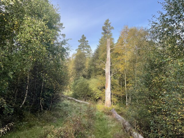
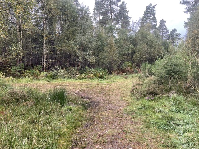
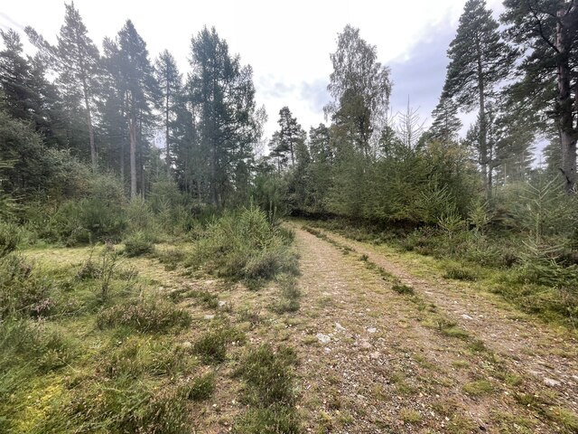
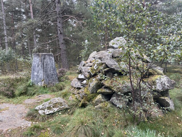
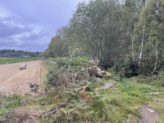
The wood is predominantly comprised of native tree species, such as Scots pine, birch, and oak, creating a diverse and visually appealing landscape. The trees provide a rich habitat for a wide range of wildlife, including red squirrels, deer, and various bird species.

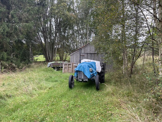
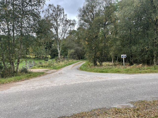
As visitors explore Birkhall Wood, they are treated to a serene and tranquil environment. The forest offers numerous walking trails, allowing people to immerse themselves in the natural beauty of the surroundings. These trails offer breathtaking views of the surrounding mountains and valleys, making it a popular destination for both locals and tourists.

Aside from its natural beauty, Birkhall Wood also holds historical significance. The wood is closely associated with Birkhall House, a residence often used by members of the Royal Family, including Prince Charles. The area has been a favored retreat for generations and is steeped in royal history.

In summary, Birkhall Wood is a picturesque forest nestled in Aberdeenshire, Scotland. With its diverse flora and fauna, scenic trails, and historical connections, it offers a delightful experience for nature enthusiasts and those interested in the royal heritage of the area.

If you have any feedback on the listing, please let us know in the comments section below.

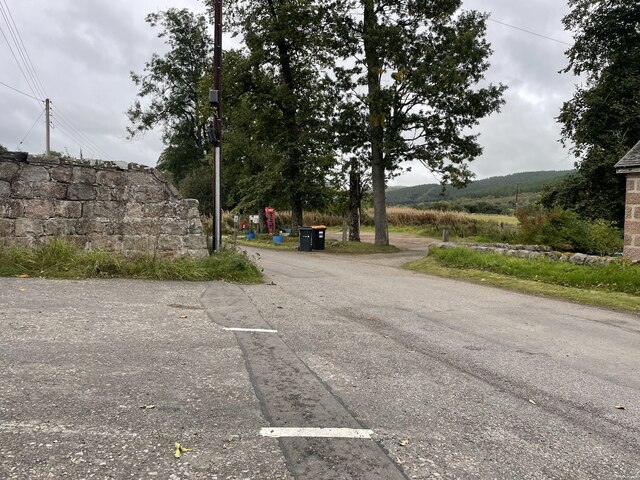
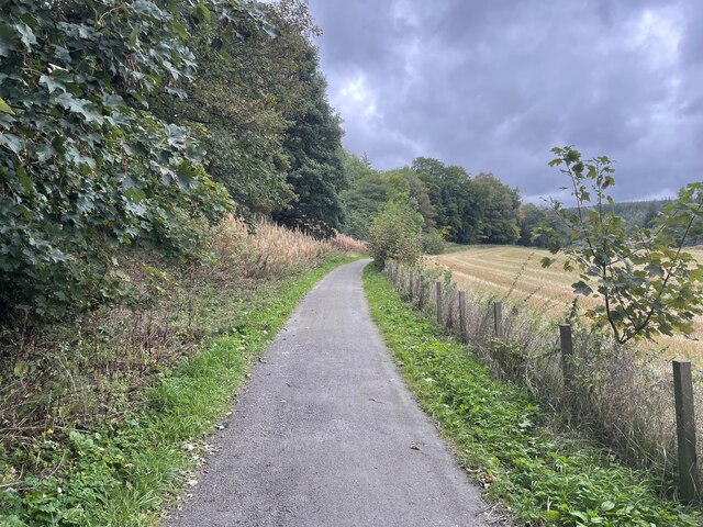
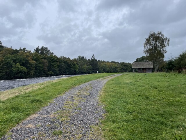
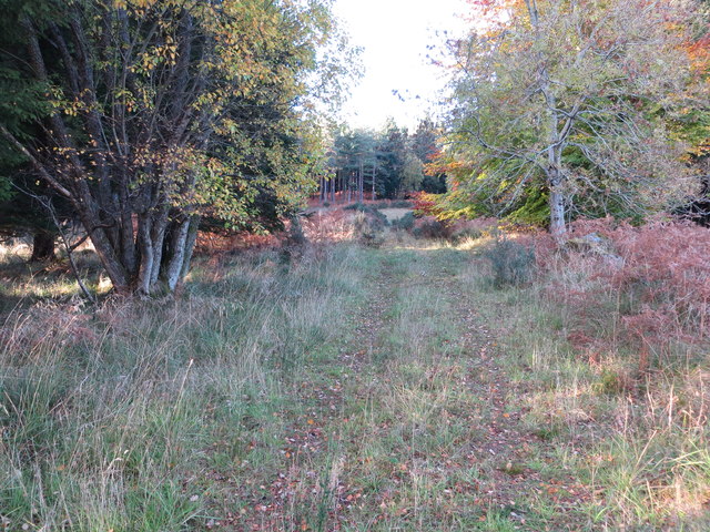
Birkhall Wood Images

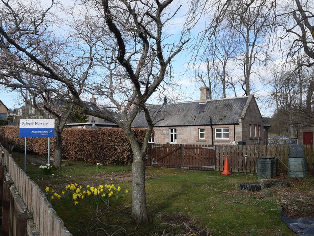
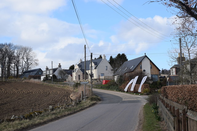
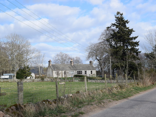
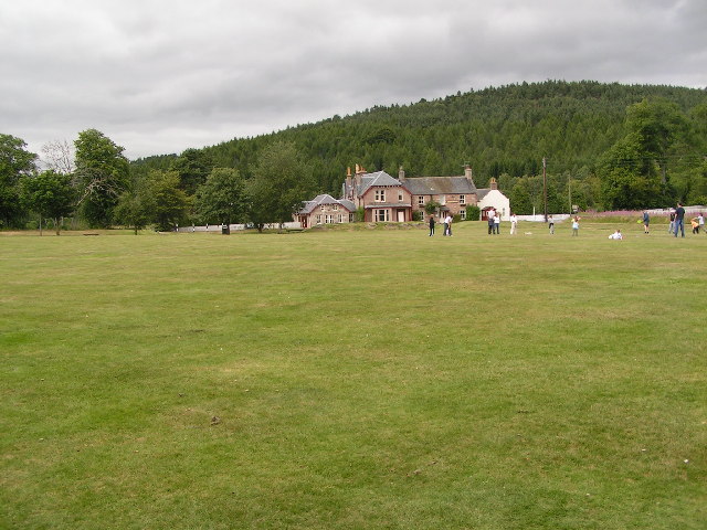
Images are sourced within 2km of 57.066421/-2.6862363 or Grid Reference NO5897. Thanks to Geograph Open Source API. All images are credited.

A93 towards Banchory
A lone dead tree Geocaching is a type of global treasure hunt of people looking for caches, or hidden stashes of objects. Geocaching may also be described as a series of hide-and-seek games, where hiders provide online clues for seekers. Seekers use global positioning system (GPS) devices to find hidden caches
A lone dead tree
Geocaching is a type of global treasure hunt of people looking for caches, or hidden stashes of objects. Geocaching may also be described as a series of hide-and-seek games, where hiders provide online clues for seekers. Seekers use global positioning system (GPS) devices to find hidden caches
Path junction in the forest Geocaching is a type of global treasure hunt of people looking for caches, or hidden stashes of objects. Geocaching may also be described as a series of hide-and-seek games, where hiders provide online clues for seekers. Seekers use global positioning system (GPS) devices to find hidden caches
Path junction in the forest
Geocaching is a type of global treasure hunt of people looking for caches, or hidden stashes of objects. Geocaching may also be described as a series of hide-and-seek games, where hiders provide online clues for seekers. Seekers use global positioning system (GPS) devices to find hidden caches
Path junction in the forest
Craigmore wood Trig Point
Where forest and farm meet
Old Tractor
Old Tractor
Birken Hill farm
Birken Hill farm
Back roads of Aberdeenshire
The Deeside way
The Deeside way
Fishermans Bothy
Fishermans Bothy
Track through Commonty Wood Looking north-westward.
Track through Commonty Wood
Looking north-westward.
Ballogie nursery, Marywell The nursery school (2019 roll 9 children) associated with Finzean primary school, which is located about 3km to the south east.
Ballogie nursery, Marywell
The nursery school (2019 roll 9 children) associated with Finzean primary school, which is located about 3km to the south east.
Looking up the hill, Marywell
Rural dwellings, Marywell
Cycle and Pathway beside the A93 at Cordach Looking south-eastward.
Cycle and Pathway beside the A93 at Cordach
Looking south-eastward.
Ordnance Survey Fundamental Benchmark This can be found on land beside the A93 near to Cordach. The benchmark's recorded height is 93.9 metres above sea level.
For more detail see : <span class="nowrap"><a title="https://www.bench-marks.org.uk/bm1001" rel="nofollow ugc noopener" href="https://www.bench-marks.org.uk/bm1001">Link</a><img style="margin-left:2px;" alt="External link" title="External link - shift click to open in new window" src="https://s1.geograph.org.uk/img/external.png" width="10" height="10"/></span>
Ordnance Survey Fundamental Benchmark
This can be found on land beside the A93 near to Cordach. The benchmark's recorded height is 93.9 metres above sea level. For more detail see : LinkExternal link
Deeside Way A new path at river level, well below the A93.
Deeside Way
A new path at river level, well below the A93.
Show me another place!

Birkhall Wood is located at Grid Ref: NO5897 (Lat: 57.066421, Lng: -2.6862363)

Unitary Authority: Aberdeenshire

Police Authority: North East

What 3 Words

///potato.processes.broke. Near Torphins, Aberdeenshire

Nearby Locations

Birkhall Wood

Related Wikis

Dinnie Stones

The Dinnie Stones (also called Stanes or Steens) are a pair of Scottish lifting stones located in Potarch, Aberdeenshire. They were made famous by strongman...

Potarch

Potarch ( pot-ARKH) is a hamlet in Aberdeenshire, Scotland, with a bridge across the River Dee.It is a popular location with tourists and day-trippers...

Kincardine O'Neil Hospital, Aberdeenshire

Kincardine O'Neil Hospital was founded in the 13th century in the village of Kincardine O'Neil in Scotland. Almost certainly it served as a traveler's...

Ballogie

Ballogie is a rural community and an estate in the Lower Deeside area of Aberdeenshire, Scotland. Most of Ballogie lies within the parish of Birse, although...

Nearby Amenities

Located within 500m of 57.066421,-2.6862363
Power: pole
Lat/Long: 57.0640635/-2.6884221
Power: pole
Lat/Long: 57.0639196/-2.6900245
Power: pole
Lat/Long: 57.0637645/-2.6912963
Power: pole
Lat/Long: 57.063632/-2.6925227
Power: pole
Lat/Long: 57.0685982/-2.6882029
Power: pole
Lat/Long: 57.0681061/-2.6880857
Power: pole
Lat/Long: 57.0673675/-2.687893
Power: pole
Lat/Long: 57.0664244/-2.6867554
Power: pole
Lat/Long: 57.0659518/-2.6861545
Power: pole
Lat/Long: 57.0668775/-2.6829175
Power: pole
Lat/Long: 57.0665836/-2.6839493
Power: pole
Lat/Long: 57.0663268/-2.6848544
Power: pole
Lat/Long: 57.0656056/-2.6866515
Power: pole
Lat/Long: 57.0646717/-2.6879516
Birkhall
Place: locality
Lat/Long: 57.0685646/-2.6876631
The data included in this document is from www.openstreetmap.org. The data is made available under ODbL.

Have you been to Birkhall Wood?

Leave your review of Birkhall Wood below (or comments, questions and feedback).