Floors Plantation

Wood, Forest in Roxburghshire

Scotland

Floors Plantation

B6357 towards Bonchester Bridge
B6357 towards Bonchester Bridge Credit: Steven Brown

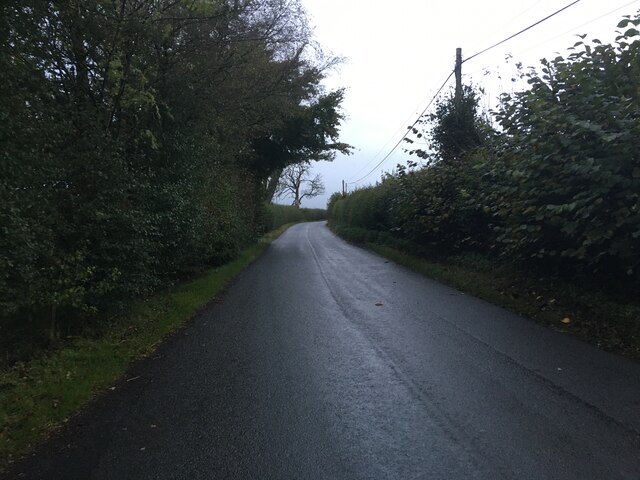
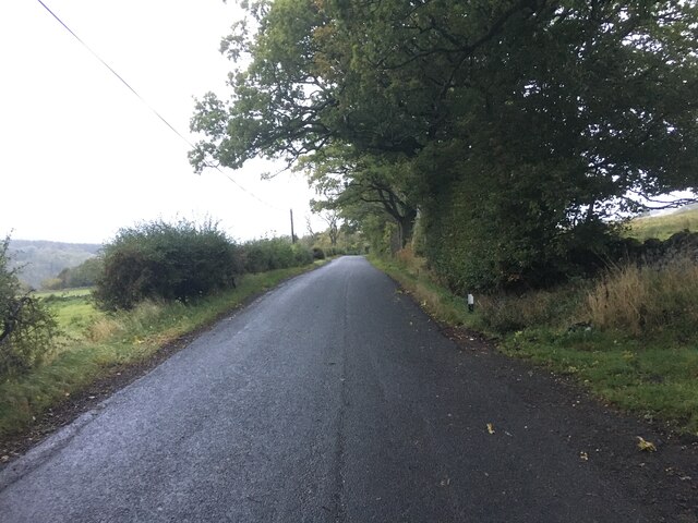
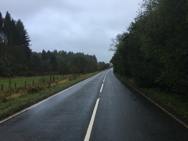
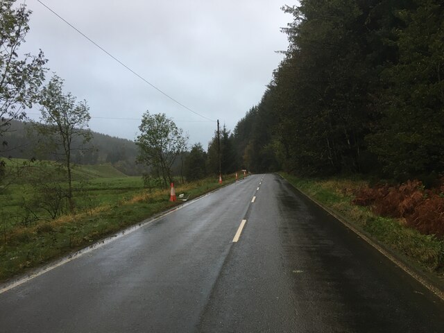
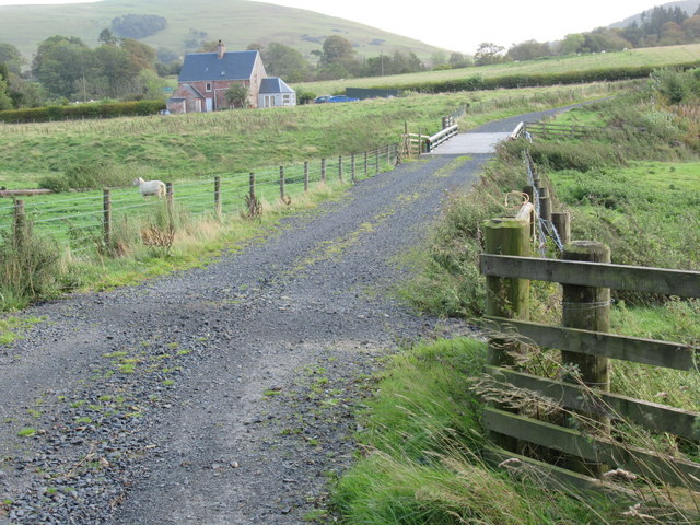
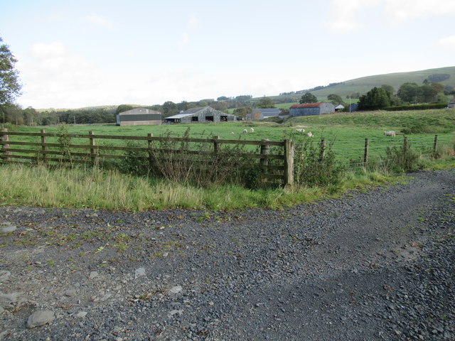
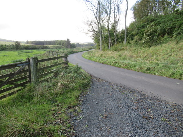
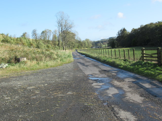
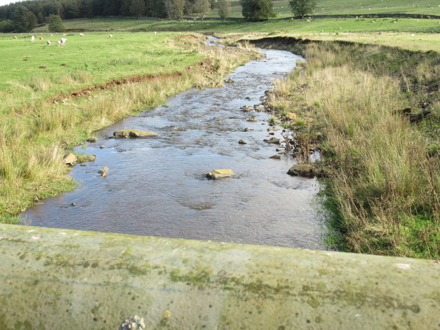
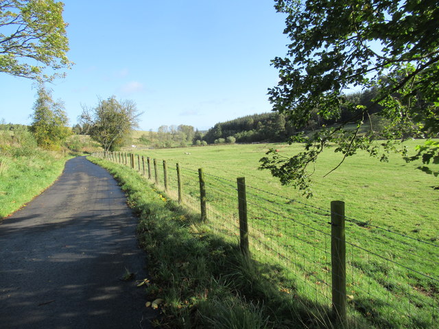
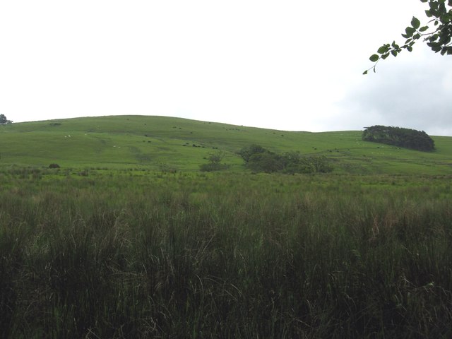
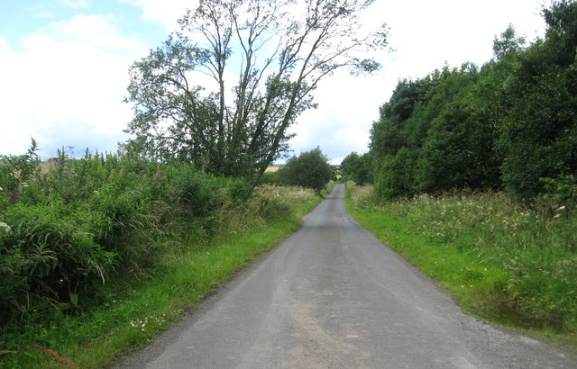
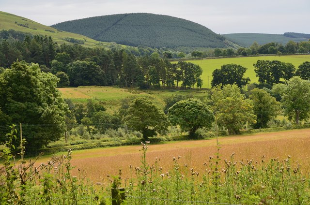
Floors Plantation is a sprawling woodland located in Roxburghshire, Scotland. Covering an extensive area, this plantation is renowned for its picturesque beauty and rich biodiversity. The plantation primarily consists of a dense forest, predominantly composed of various species of trees such as oak, beech, pine, and birch.

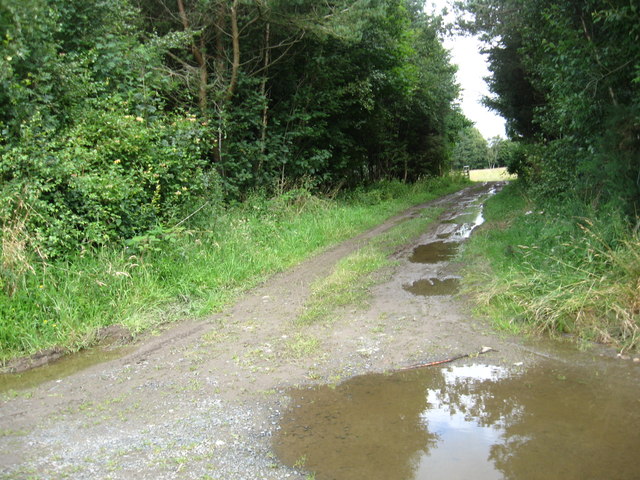
The woodland is a haven for nature enthusiasts and outdoor adventurers alike, offering a plethora of opportunities for exploration and recreation. With its well-maintained walking trails, visitors can embark on leisurely strolls or challenging hikes, immersing themselves in the tranquil surroundings and enjoying the fresh air. The plantation also boasts several designated picnic areas, where visitors can relax and appreciate the stunning views.

One of the notable features of Floors Plantation is its diverse wildlife. The forest provides a natural habitat for a wide range of animals, including deer, squirrels, owls, and various bird species. Birdwatchers will be delighted by the chance to spot rare and migratory birds that frequent the area.

Moreover, Floors Plantation has a long history dating back centuries. It was originally established as a timber plantation, supplying wood for various purposes. Today, the woodland continues to be sustainably managed, ensuring the preservation of its natural beauty and ecological balance.

In conclusion, Floors Plantation in Roxburghshire is a captivating woodland that offers visitors an opportunity to immerse themselves in nature. With its diverse flora and fauna, well-maintained trails, and rich history, this plantation is a must-visit destination for nature lovers and those seeking a serene escape from the bustle of everyday life.

If you have any feedback on the listing, please let us know in the comments section below.

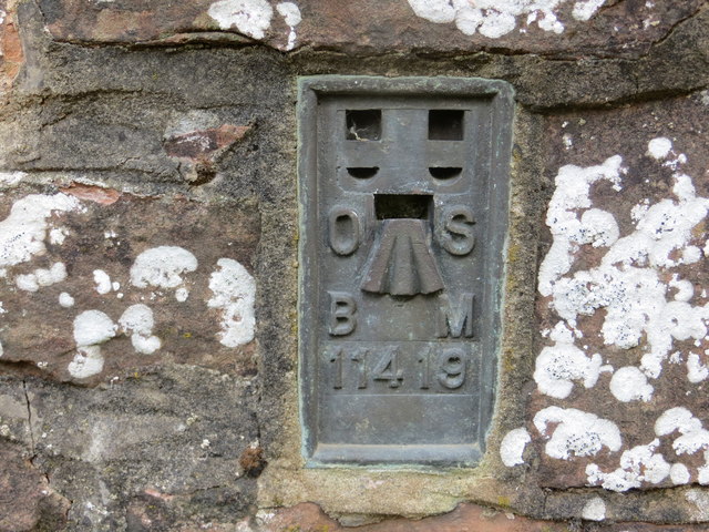
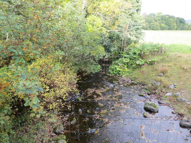
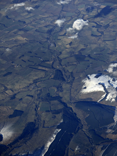
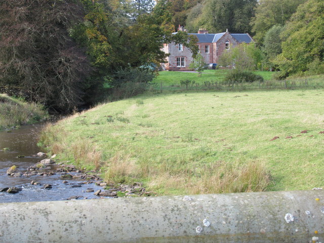
Floors Plantation Images

Images are sourced within 2km of 55.366048/-2.6584743 or Grid Reference NT5808. Thanks to Geograph Open Source API. All images are credited.

B6357 towards Bonchester Bridge
B6357 near Hyndlee
B6357 near Hyndlee
Ordnance Survey Flush Bracket 11419 This can be found on the parapet wall of a bridge over Catlee Burn at Forkins.
For more detail see : <span class="nowrap"><a title="http://www.bench-marks.org.uk/bm16610" rel="nofollow ugc noopener" href="http://www.bench-marks.org.uk/bm16610">Link</a><img style="margin-left:2px;" alt="External link" title="External link - shift click to open in new window" src="https://s1.geograph.org.uk/img/external.png" width="10" height="10"/></span>
Ordnance Survey Flush Bracket 11419
This can be found on the parapet wall of a bridge over Catlee Burn at Forkins. For more detail see : LinkExternal link
Catlee Burn viewed from the bridge at Forkins Looking north-westward.
Catlee Burn viewed from the bridge at Forkins
Looking north-westward.
Wolfelee from the air Bonchester Bridge can be seen in the distance, Wolfelee Hill is in the right foreground.
Wolfelee from the air
Bonchester Bridge can be seen in the distance, Wolfelee Hill is in the right foreground.
Harwood big hoose near Hobkirk The term 'big hoose' is fundamentally quantative but strenuously cultural: ye could bigg a bigger hoose but it wad nae be as 'big' as the big hoose!
Harwood big hoose near Hobkirk
The term 'big hoose' is fundamentally quantative but strenuously cultural: ye could bigg a bigger hoose but it wad nae be as 'big' as the big hoose!
Bridge across Harwood burn to cottage near Hobkirk in the Scottish Borders As yet unmapped and unsatted!!
Bridge across Harwood burn to cottage near Hobkirk in the Scottish Borders
As yet unmapped and unsatted!!
Track junction with public road near Hobkirk in the Scottish Borders
Road near Harwood in the Scottish Borders
Looking downstream on Harwood Burn in the Scottish Borders
Attractive haughland near Hobkirk in the Scottish Borders
Grazing lands on Wolflee Hill In Roxburghshire.
Grazing lands on Wolflee Hill
In Roxburghshire.
Track through the plantation At Unthank Wood in Roxburghshire.
Track through the plantation
At Unthank Wood in Roxburghshire.
Country lane heading for Highend Farm In Roxburghshire.
Country lane heading for Highend Farm
In Roxburghshire.
Forestry beyond the fields, Harwoodmill A view across the catchment of the Rule Water to the forested Wolfhopelee Hill, at the N end of the extensive Wauchope Forest.
Forestry beyond the fields, Harwoodmill
A view across the catchment of the Rule Water to the forested Wolfhopelee Hill, at the N end of the extensive Wauchope Forest.
Show me another place!

Floors Plantation is located at Grid Ref: NT5808 (Lat: 55.366048, Lng: -2.6584743)

Unitary Authority: The Scottish Borders

Police Authority: The Lothians and Scottish Borders

What 3 Words

///nanny.snacking.waltzed. Near Hawick, Scottish Borders

Nearby Locations

Old Wood Floors Plantation

Related Wikis

Wauchope, Scottish Borders

Wauchope is a hamlet in the Scottish Borders council area of Scotland, near Southdean. Wauchope House was demolished in 1932. == See also == Wauchope Forest...

Hobkirk

Hobkirk (Scottish Gaelic: Eaglais Ruail) is a village and civil parish in the Scottish Borders area of Scotland, by the Rule Water, south-west of Jedburgh...

Bonchester Bridge

Bonchester Bridge (Scots Binster Brig) is a village in Roxburghshire, within the Scottish Borders area of Scotland, lying on the Rule Water, six miles...

Southdean

Southdean is a hamlet in the Scottish Borders area of Scotland, on the A6088, by the Jed Water and in the Wauchope Forest area. Other settlements nearby...

Wauchope Forest

Wauchope Forest is a forest on the Rule Water, in the Scottish Borders area of Scotland, south of Hawick, and including the A6088, the A68 and the B6357...

Abbotrule

Abbotrule is a hamlet south of the B6357 road, in the Scottish Borders area of Scotland, on Rule Burn, east of the Rule Water. Places nearby include Bedrule...

Hallrule

Hallrule is a hamlet on the B6357 road, in the Scottish Borders area of Scotland, on the Rule Water, near Abbotrule, Bedrule Bonchester Bridge, Denholm...

Shankend railway station

Shankend railway station served the hamlet of Shankend, Scottish Borders, Scotland from 1862 to 1969 on the Border Union Railway. == History == The station...

Nearby Amenities

Located within 500m of 55.366048,-2.6584743
Wauchope
Place: hamlet
Wikidata: Q7975118
Wikipedia: en:Wauchope, Scottish Borders
Lat/Long: 55.3676818/-2.6606074
Generator Method: photovoltaic
Generator Output Electricity: yes
Generator Source: solar
Generator Type: solar_photovoltaic_panel
Power: generator
Lat/Long: 55.3679625/-2.6601613
Power: pole
Lat/Long: 55.3688392/-2.6537421
Power: pole
Lat/Long: 55.3681016/-2.6540526
Power: pole
Lat/Long: 55.3673596/-2.6543554
Power: pole
Lat/Long: 55.3666002/-2.6539177
Power: pole
Lat/Long: 55.3658625/-2.6534392
Power: pole
Lat/Long: 55.3651277/-2.6529938
Power: pole
Lat/Long: 55.3643727/-2.6525357
Power: pole
Lat/Long: 55.3636769/-2.6521132
Power: pole
Lat/Long: 55.3682744/-2.6645256
Power: pole
Lat/Long: 55.3681746/-2.6636832
Power: pole
Lat/Long: 55.3681067/-2.6628306
Power: pole
Lat/Long: 55.3684227/-2.6521934
Power: pole
Lat/Long: 55.3683757/-2.6531529
Power: pole
Lat/Long: 55.3683511/-2.6541582
Power: pole
Lat/Long: 55.3683171/-2.6552017
Power: pole
Lat/Long: 55.3681934/-2.6562579
Power: pole
Lat/Long: 55.3680777/-2.6572199
Power: pole
Lat/Long: 55.3679374/-2.6582329
Power: pole
Lat/Long: 55.3678304/-2.6592051
Power: pole
Lat/Long: 55.3678261/-2.6596556
Power: pole
Lat/Long: 55.3680206/-2.6598566
Power: pole
Lat/Long: 55.368137/-2.6606622
The data included in this document is from www.openstreetmap.org. The data is made available under ODbL.

Have you been to Floors Plantation?

Leave your review of Floors Plantation below (or comments, questions and feedback).