Outer Stobbie Wood
Wood, Forest in Berwickshire
Scotland
Outer Stobbie Wood
The requested URL returned error: 429 Too Many Requests
If you have any feedback on the listing, please let us know in the comments section below.
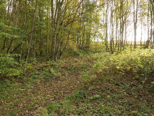
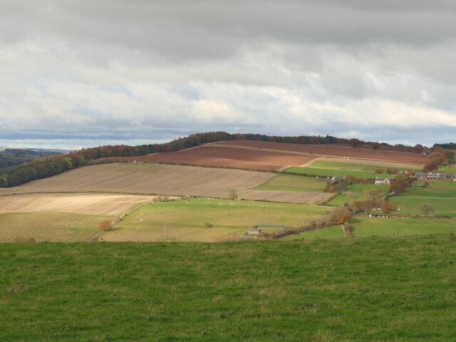
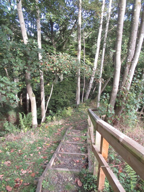
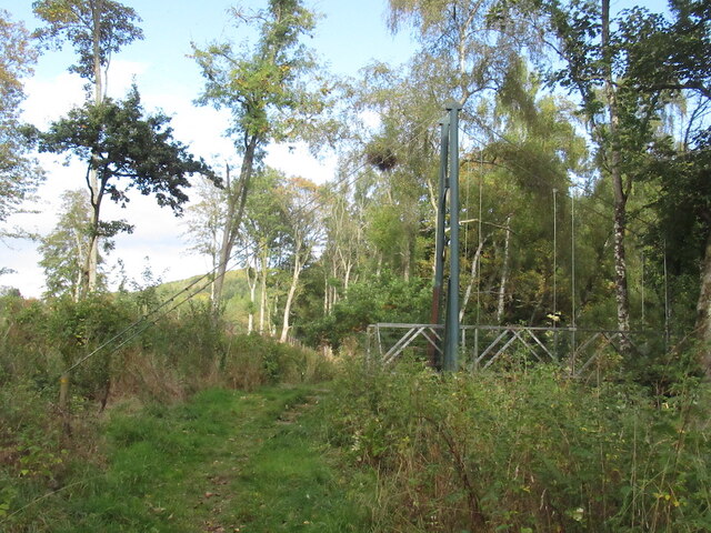
Outer Stobbie Wood Images
Images are sourced within 2km of 55.656007/-2.6680706 or Grid Reference NT5840. Thanks to Geograph Open Source API. All images are credited.

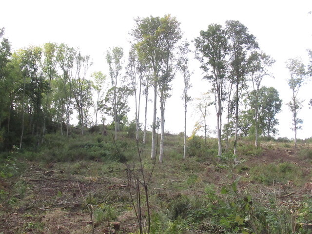
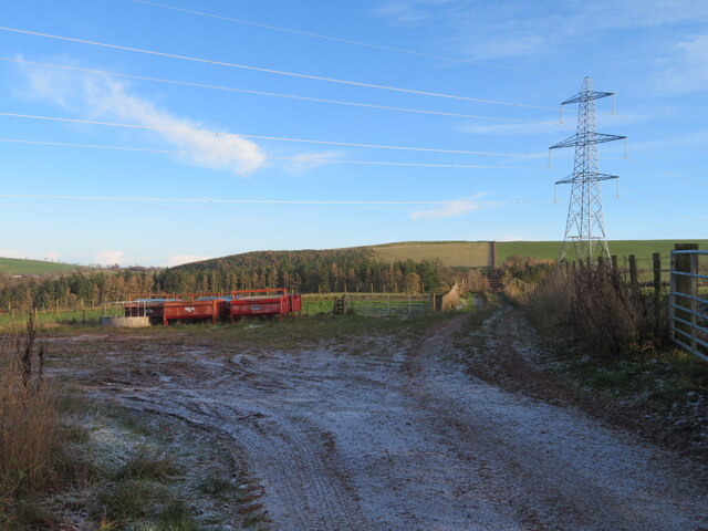
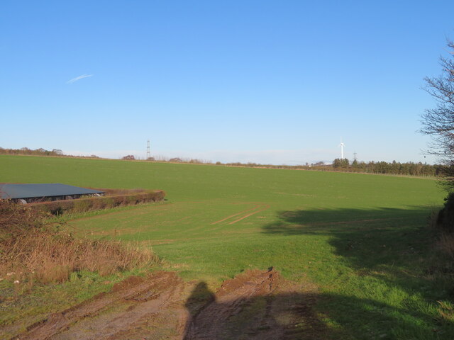
![Track across Legerwood Hill Heading 4km southeast from Birkenside to the Gordon-Earlston road [A6109]. A lot of timber cutting has been carried out, with piles of cut timber, waiting to be taken away, and huge piles of the rest of the woodland heaped up along the side of the track, the like of which I have not encountered before.](https://s1.geograph.org.uk/geophotos/07/35/87/7358745_81d332c2.jpg)
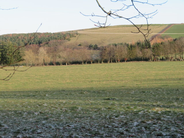
![Road to Birkenside
Heading 4km northwest from the Gordon-Earlston road [A6109] to Birkenside. Un-metalled here, but metalled at the southern end.](https://s0.geograph.org.uk/geophotos/07/35/87/7358764_3c3bbf43.jpg)
![Addinstone Poultry Farm One of several poultry farms on this very minor road [it becomes a track] between Morriston and Birkenside.](https://s2.geograph.org.uk/geophotos/07/35/95/7359562_d41662ed.jpg)
![Addinstone Poultry Farm One of several poultry farms on this very minor road [it becomes a track] between Morriston and Birkenside.](https://s3.geograph.org.uk/geophotos/07/35/95/7359567_881f472c.jpg)
Outer Stobbie Wood is located at Grid Ref: NT5840 (Lat: 55.656007, Lng: -2.6680706)
Unitary Authority: The Scottish Borders
Police Authority: The Lothians and Scottish Borders
What 3 Words
///zipped.handover.choppers. Near Earlston, Scottish Borders
Nearby Locations
Related Wikis

Carolside, Scottish Borders
Carolside is an estate by the Leader Water, in the Scottish Borders. It is located one mile (1.6 km) north of Earlston, in the former county of Berwickshire...

Earlston High School
Earlston High School is a secondary school in Earlston, Scottish Borders. It serves Earlston, as well as the surrounding area. Since 2009, the school has...
Earlston
Earlston (Scots: Yerlston; Scottish Gaelic: Dùn Airchill) is a civil parish and market town in the county of Berwickshire, within the Scottish Borders...

A6105 road
The A6105 road is an A road in the Scottish Borders, Scotland and Northumberland, England. It runs from the village of Earlston to Berwick on Tweed going...
Have you been to Outer Stobbie Wood?
Leave your review of Outer Stobbie Wood below (or comments, questions and feedback).