Whitehaugh Forest

Wood, Forest in Aberdeenshire

Scotland

Whitehaugh Forest

Priest's Wood Looking towards the woods that have had a battering by the wind over the last couple of years
Priest's Wood Credit: Ralph Greig

The requested URL returned error: 429 Too Many Requests

If you have any feedback on the listing, please let us know in the comments section below.

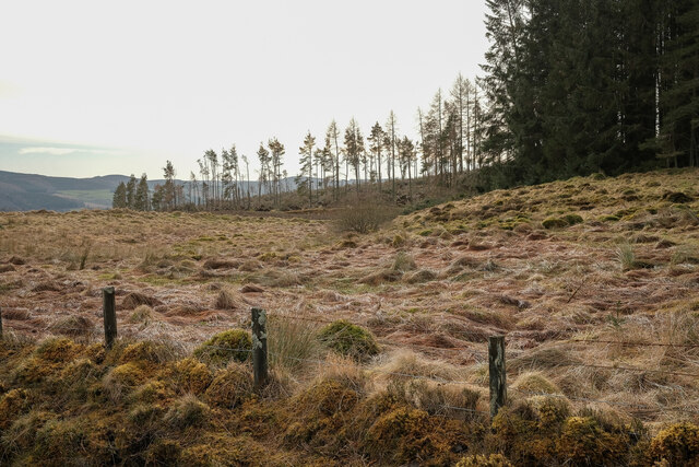
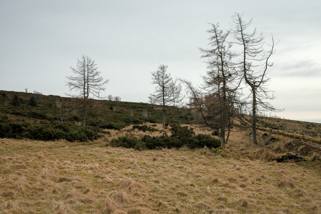
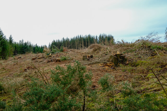
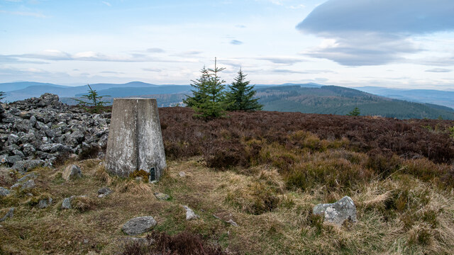
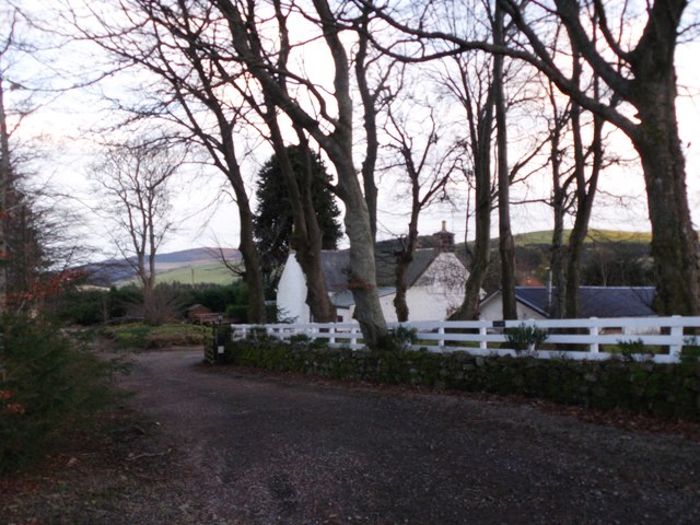
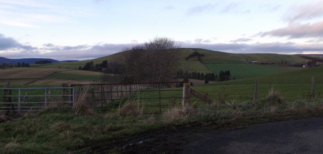
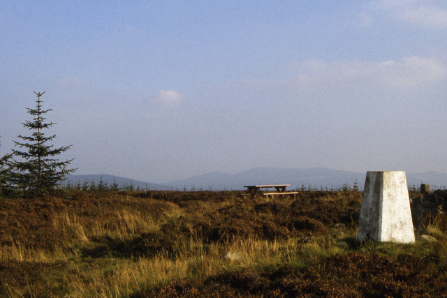
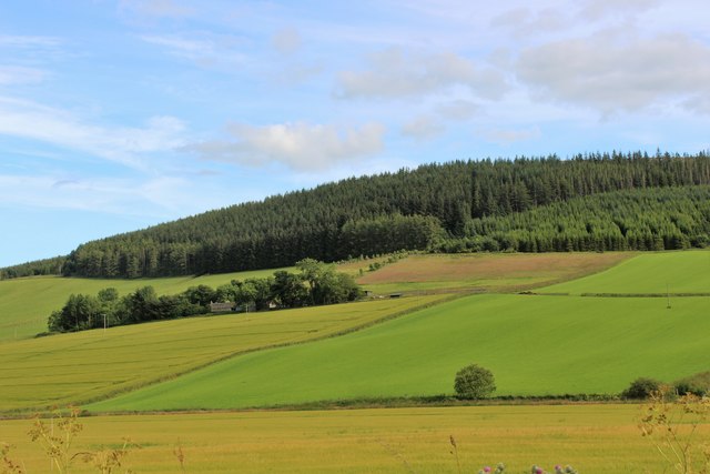
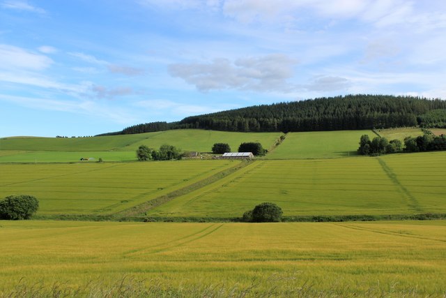
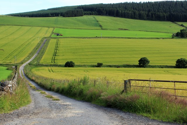
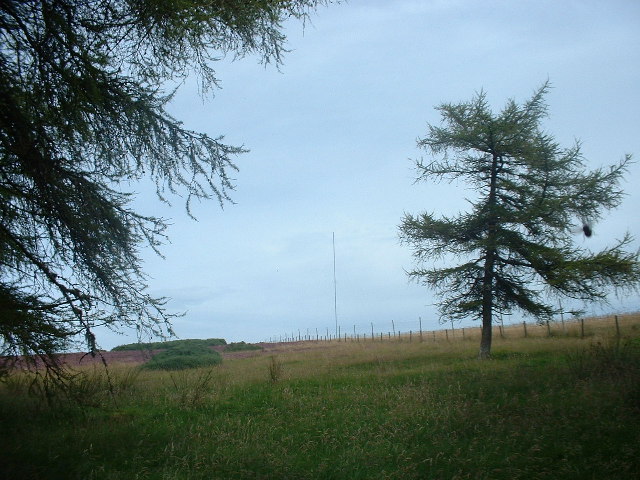
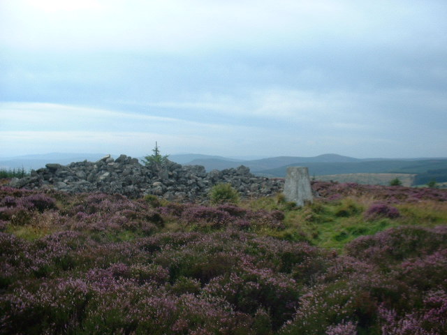
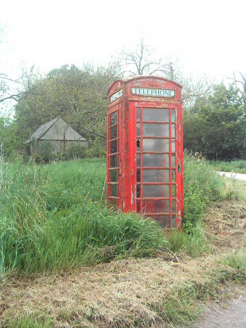
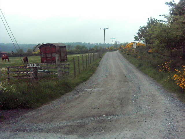
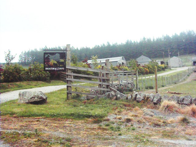
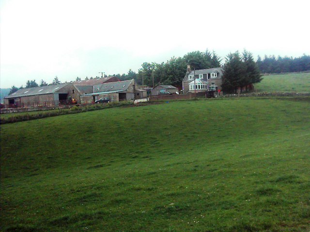
Whitehaugh Forest Images

Images are sourced within 2km of 57.292647/-2.6975284 or Grid Reference NJ5822. Thanks to Geograph Open Source API. All images are credited.

Priest's Wood Looking towards the woods that have had a battering by the wind over the last couple of years
Priest's Wood
Looking towards the woods that have had a battering by the wind over the last couple of years
The Gordon Way Part of the route of the gordon way up Satter hill
The Gordon Way
Part of the route of the gordon way up Satter hill
Tree felling on the Gordon Way Tree clear up from the storms over the last few years
Tree felling on the Gordon Way
Tree clear up from the storms over the last few years
Knock Saul Summit The process of placing trig points on top of prominent hills and mountains began in 1935 to assist in the accurate retriangulation of Great Britain. The Ordnance Survey's first trig point was erected on 18 April 1936 near Cold Ashby, Northamptonshire. In low-lying or flat areas some trig points are only a few metres above sea level and one is even at −1 m (near Little Ouse, Cambridgeshire, TL61718 89787). When all the trig points were in place, it was possible in clear weather to see at least two other trig points from any one trig point, but subsequent vegetation growth means that this is not necessarily still the case. Careful measurements of the angles between the lines-of-sight of the other trig points then allowed the construction of a system of triangles which could then be referenced back to a single baseline to construct a highly accurate measurement system that covered the entire country.
Knock Saul Summit
The process of placing trig points on top of prominent hills and mountains began in 1935 to assist in the accurate retriangulation of Great Britain. The Ordnance Survey's first trig point was erected on 18 April 1936 near Cold Ashby, Northamptonshire. In low-lying or flat areas some trig points are only a few metres above sea level and one is even at −1 m (near Little Ouse, Cambridgeshire, TL61718 89787). When all the trig points were in place, it was possible in clear weather to see at least two other trig points from any one trig point, but subsequent vegetation growth means that this is not necessarily still the case. Careful measurements of the angles between the lines-of-sight of the other trig points then allowed the construction of a system of triangles which could then be referenced back to a single baseline to construct a highly accurate measurement system that covered the entire country.
Saul Farm, Bogs of Leslie At end of public road from Leslie.
Saul Farm, Bogs of Leslie
At end of public road from Leslie.
Dogleg bend in road from Saul Farm Towards Leslie. Hill of New Leslie on skyline.
Dogleg bend in road from Saul Farm
Towards Leslie. Hill of New Leslie on skyline.
Trig point on Knock Saul
Stewartfield Farm Stewartfield nestling in its shelterbelt by the Coreen Hills.
Stewartfield Farm
Stewartfield nestling in its shelterbelt by the Coreen Hills.
Drumgowan under Knock Saul Drumgowan Farm with Knock Saul rising behind.
Drumgowan under Knock Saul
Drumgowan Farm with Knock Saul rising behind.
Drumgowan Road The combined access road to Drumgowan and East Drumgowan Farms.
Drumgowan Road
The combined access road to Drumgowan and East Drumgowan Farms.
Satter Hill Radio mast on Satter Hill from the West Gordon Way.
Satter Hill
Radio mast on Satter Hill from the West Gordon Way.
Knock Saul Cairn and trig point on Knock Saul hilltop.  On the West Gordon Way.
Knock Saul
Cairn and trig point on Knock Saul hilltop. On the West Gordon Way.
Neglected & Unloved This telephone box has seen better times, before the days of the mobile phone these telephone boxes were an essential part of rural communications.
Neglected & Unloved
This telephone box has seen better times, before the days of the mobile phone these telephone boxes were an essential part of rural communications.
Railway Truck Old Railway trucks are commonly used as "Sheds" usually they are located next to the steading, but here it is a park near the track to Millburn
Railway Truck
Old Railway trucks are commonly used as "Sheds" usually they are located next to the steading, but here it is a park near the track to Millburn
Broadbog Farm The sign for Broadbog farm, which for some reason is not named on either the 1:50,000 or 1:25,000 maps, is a large metal sheet with a piece cutout to leave  silhouettes of a tree, a sheep and a cow.
Broadbog Farm
The sign for Broadbog farm, which for some reason is not named on either the 1:50,000 or 1:25,000 maps, is a large metal sheet with a piece cutout to leave silhouettes of a tree, a sheep and a cow.
Hillock of Keig Nestled into the braeside is the farm of Hillock of Keig.
Hillock of Keig
Nestled into the braeside is the farm of Hillock of Keig.
Forest road junction in Whitehaugh Forest Rally car going round a hairpin junction in Whitehaugh Forest
Forest road junction in Whitehaugh Forest
Rally car going round a hairpin junction in Whitehaugh Forest
rally car hanging on to the forest track in Whitehaugh A Subaru hanging on to the forest track in Whitehaugh Forest.
rally car hanging on to the forest track in Whitehaugh
A Subaru hanging on to the forest track in Whitehaugh Forest.
Show me another place!

Whitehaugh Forest is located at Grid Ref: NJ5822 (Lat: 57.292647, Lng: -2.6975284)

Unitary Authority: Aberdeenshire

Police Authority: North East

What 3 Words

///dentistry.juggle.defining. Near Alford, Aberdeenshire

Nearby Locations

Whitehaugh Forest

Related Wikis

Castle Croft

Castle Croft was located near New Leslie farm, about 5 kilometres (3.1 mi) south-west of Insch, in Aberdeenshire, Scotland. It was the property of the...

Gordon Way

The Gordon Way is a waymarked hiking trail in Aberdeenshire, Scotland. It runs for 11+1⁄2 miles (18.5 km) through the Bennachie Forest. The route was one...

Tullynessle

Tullynessle is a hamlet in Aberdeenshire, Scotland, three miles NNW of Alford.The settlement contains the Category A listed Terpersie Castle, a privately...
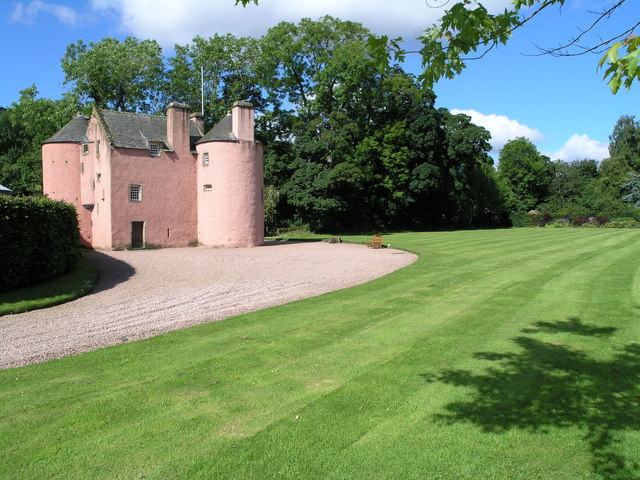
Terpersie Castle

Terpersie Castle (originally built as Dalpersie House) is a 16th-century tower house in Tullynessle, Aberdeenshire, Scotland, located 5 kilometres (3...

Nearby Amenities

Located within 500m of 57.292647,-2.6975284
Knock Saul
Ele: 413
Natural: peak
Lat/Long: 57.296461/-2.6991631
Power: pole
Lat/Long: 57.2918496/-2.7051975
Power: pole
Lat/Long: 57.2914041/-2.7043687
Power: pole
Lat/Long: 57.2910047/-2.7033861
Power: pole
Lat/Long: 57.2905984/-2.7024356
Power: pole
Lat/Long: 57.2902083/-2.7015021
Power: pole
Lat/Long: 57.2895595/-2.702143
Power: pole
Lat/Long: 57.2889962/-2.7022604
The data included in this document is from www.openstreetmap.org. The data is made available under ODbL.

Have you been to Whitehaugh Forest?

Leave your review of Whitehaugh Forest below (or comments, questions and feedback).