Hillockhow Wood
Wood, Forest in Angus
Scotland
Hillockhow Wood

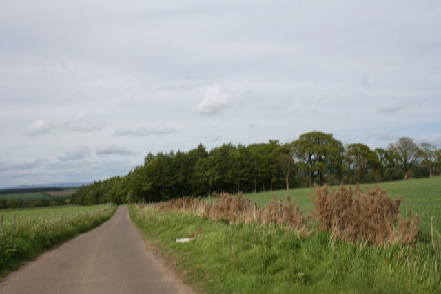
Hillockhow Wood is a picturesque woodland located in the county of Angus, Scotland. It is a relatively small forest spanning approximately 50 hectares and is nestled within the beautiful Angus Glens. The woodland is a mix of deciduous and coniferous trees, creating a diverse and vibrant ecosystem.
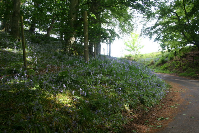
The forest is known for its tranquil atmosphere and stunning natural beauty. Walking through Hillockhow Wood, visitors are surrounded by tall, majestic trees that provide shade and shelter. The forest floor is carpeted with a variety of plants, including bluebells, ferns, and mosses, adding to its enchanting allure.
Hillockhow Wood is home to a wide range of wildlife, making it a haven for nature enthusiasts and birdwatchers. The forest provides a habitat for several bird species, such as woodpeckers, owls, and various songbirds. Deer and squirrels can also be spotted darting among the trees, adding to the woodland's charm.
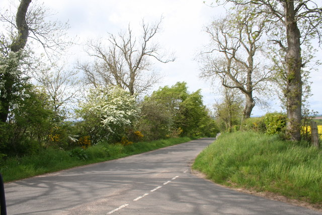
The forest offers a network of well-marked trails, allowing visitors to explore its beauty at their own pace. These trails cater to different levels of difficulty, making the woodland accessible to people of all ages and fitness levels. Nature lovers can enjoy leisurely strolls or more challenging hikes, immersing themselves in the peaceful ambiance of the forest.
Hillockhow Wood is a cherished natural gem in Angus, offering visitors a chance to connect with nature, experience tranquility, and marvel at the wonders of the Scottish countryside.
If you have any feedback on the listing, please let us know in the comments section below.
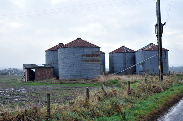
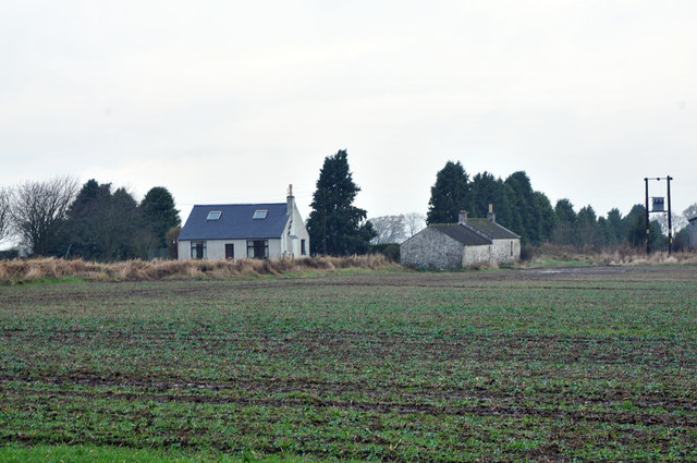
Hillockhow Wood Images
Images are sourced within 2km of 56.628683/-2.6860602 or Grid Reference NO5848. Thanks to Geograph Open Source API. All images are credited.


Hillockhow Wood is located at Grid Ref: NO5848 (Lat: 56.628683, Lng: -2.6860602)
Unitary Authority: Angus
Police Authority: Tayside
What 3 Words
///vision.stared.doses. Near Friockheim, Angus
Nearby Locations
Related Wikis

Gardyne Castle
Gardyne Castle is a 16th-century tower house in Angus, Scotland. It is located 2 kilometres (1.2 mi) south-west of Friockheim. The castle is still in use...
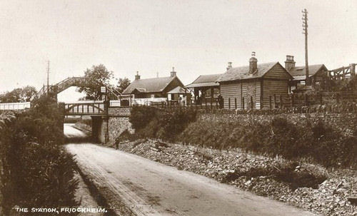
Friockheim railway station
Friockheim railway station served the village of Friockheim, Angus, Scotland from 1838 to 1955 on the Arbroath and Forfar Railway. == History == The station...
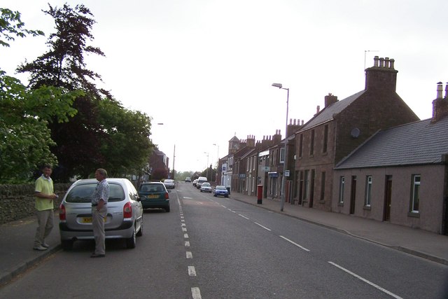
Friockheim
Friockheim is a village in Angus, Scotland dating from 1814. It lies between the towns of Arbroath, Brechin, Forfar and Montrose. == History == The name...

Guthrie railway station
Guthrie railway station served the village of Guthrie, Angus, Scotland from 1838 to 1955 on the Arbroath and Forfar Railway. == History == The station...

Guthrie, Angus
Guthrie is a village in Angus, Scotland, roughly at the centre point of the towns of Arbroath, Brechin and Forfar. The principal building in the village...

Guthrie Castle
Guthrie Castle is a castle and country house in Angus, Scotland. It is located in the village of Guthrie, 10 kilometres (6.2 mi) east of Forfar, and 29...

Leysmill railway station
Leysmill railway station served the village of Leysmill, Angus, Scotland from 1838 to 1955 on the Arbroath and Forfar Railway. == History == The station...

Glasterlaw railway station
Glasterlaw railway station served the area of Glasterlaw, Angus, Scotland from 1848 to 1956 on the Aberdeen Railway. == History == The station opened on...
Nearby Amenities
Located within 500m of 56.628683,-2.6860602Have you been to Hillockhow Wood?
Leave your review of Hillockhow Wood below (or comments, questions and feedback).