Drumhead Wood

Wood, Forest in Angus

Scotland

Drumhead Wood

Home Farm Guthrie Castle Home Farm by Friockheim.
Home Farm Credit: Andrew Wood

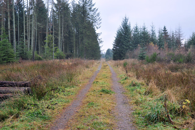
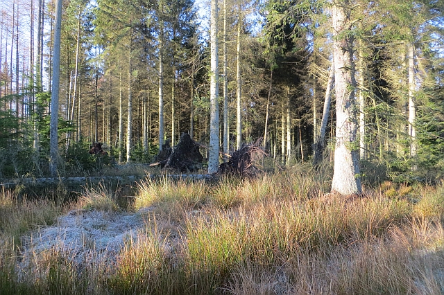
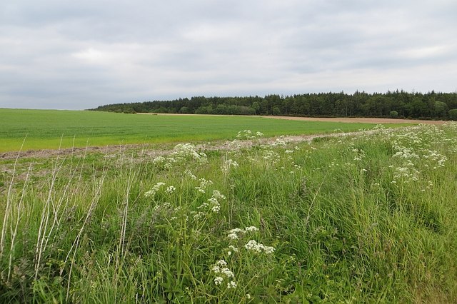
Drumhead Wood is a charming forest located in Angus, Scotland. Spanning across an area of approximately 100 acres, this wood is a delightful retreat for nature enthusiasts and outdoor adventurers alike.

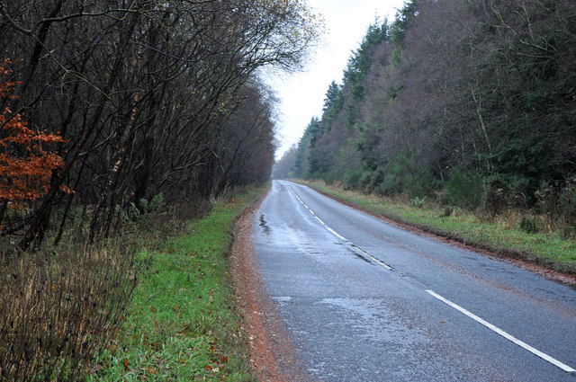
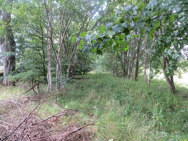
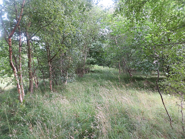
The wood is characterized by a diverse range of trees, including oak, birch, and beech, which create a picturesque landscape throughout the year. The vibrant foliage in autumn offers a breathtaking display of colors, while the lush greenery in spring and summer provides a serene and tranquil ambiance.

Drumhead Wood is enriched with an abundance of wildlife, making it a paradise for animal lovers and bird watchers. Visitors may spot various species, such as red deer, roe deer, foxes, and squirrels, as well as a variety of birds including owls, woodpeckers, and songbirds.

The wood is crisscrossed by a network of well-maintained trails, allowing visitors to explore its beauty at their own pace. These paths wind through the forest, offering glimpses of hidden glens, bubbling streams, and secluded picnic spots. The tranquility of the wood makes it an ideal location for leisurely walks, family outings, or even a romantic escape.

Drumhead Wood is also home to a diverse range of plant life, including ferns, mosses, and wildflowers. The forest floor is carpeted with delicate bluebells in the spring, creating a breathtaking sight that attracts numerous visitors each year.

Overall, Drumhead Wood in Angus, Scotland is a captivating natural haven that offers a serene atmosphere, stunning landscapes, and an opportunity to connect with nature's wonders.

If you have any feedback on the listing, please let us know in the comments section below.

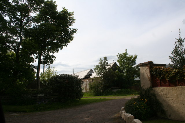
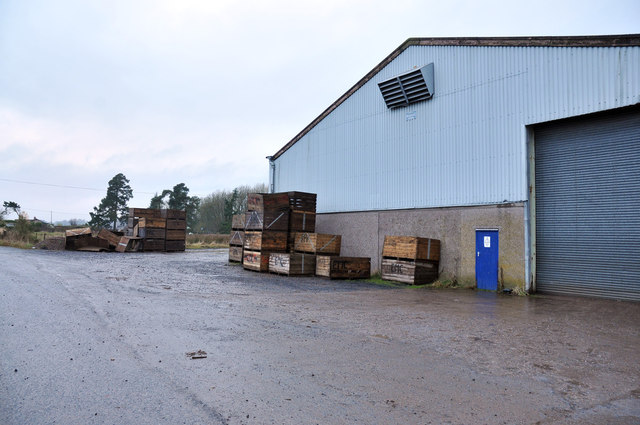
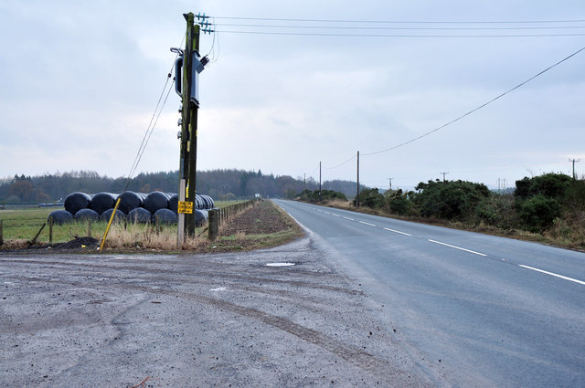
Drumhead Wood Images

Images are sourced within 2km of 56.651241/-2.6894382 or Grid Reference NO5751. Thanks to Geograph Open Source API. All images are credited.

Home Farm Guthrie Castle Home Farm by Friockheim.
Home Farm
Guthrie Castle Home Farm by Friockheim.
Agricultural buildings at Dubton
B9113 at Dubton
B9113 at Dubton
Forestry road into Montreathmont Forest
B9113 at Polmood
B9113 at Polmood
Glasterlaw station (site/remains), 1997 View SW, approaching a former level-crossing over the ex-Caledonian Railway main line, Perth - Forfar (to left)- (to right) Kinnaber Junction (- Aberdeen), which was closed 4/3/67. Glasterlaw station - over on the left - had been closed to passengers 2/4/51, to goods 11/6/56.
Glasterlaw station (site/remains), 1997
View SW, approaching a former level-crossing over the ex-Caledonian Railway main line, Perth - Forfar (to left)- (to right) Kinnaber Junction (- Aberdeen), which was closed 4/3/67. Glasterlaw station - over on the left - had been closed to passengers 2/4/51, to goods 11/6/56.
Arbroath and Forfar Railway The trackbed or the Arbroath and Forfar Railway, now wooded. The line closed in 1967.
Arbroath and Forfar Railway
The trackbed or the Arbroath and Forfar Railway, now wooded. The line closed in 1967.
Arbroath and Forfar Railway The trackbed or the Arbroath and Forfar Railway, now wooded. The line closed in 1967.
Arbroath and Forfar Railway
The trackbed or the Arbroath and Forfar Railway, now wooded. The line closed in 1967.
Mosstonmuir The site of 19th century gravel pits.
Mosstonmuir
The site of 19th century gravel pits.
Polmood The southern edge of Montreathmont Forest.
Polmood
The southern edge of Montreathmont Forest.
Montreathmont Forest Some recent windthrow casualties.
Montreathmont Forest
Some recent windthrow casualties.
Track, Montreathmont Forest View northwards in the mostly flat forest.
Track, Montreathmont Forest
View northwards in the mostly flat forest.
Guthrie These may be converted stables, where an ancestor worked as a groom in 1861.
Guthrie
These may be converted stables, where an ancestor worked as a groom in 1861.
Guthrie Aisle, Guthrie Now the Guthrie family burial vault, it is believed that the Guthrie Aisle formed the south transept of the original church which was first mentioned in 1178.  The original church was largely removed to facilitate the construction of the current church (1826).
Guthrie Aisle, Guthrie
Now the Guthrie family burial vault, it is believed that the Guthrie Aisle formed the south transept of the original church which was first mentioned in 1178. The original church was largely removed to facilitate the construction of the current church (1826).
Lunan Water Passing Guthrie.
Lunan Water
Passing Guthrie.
Guthrie Parish Church
Langlands Arable land, Guthrie.
Langlands
Arable land, Guthrie.
Drumhead South of Montreathmont Forest.
Drumhead
South of Montreathmont Forest.
Show me another place!

Drumhead Wood is located at Grid Ref: NO5751 (Lat: 56.651241, Lng: -2.6894382)

Unitary Authority: Angus

Police Authority: Tayside

What 3 Words

///shady.sling.condense. Near Friockheim, Angus

Related Wikis

Guthrie, Angus

Guthrie is a village in Angus, Scotland, roughly at the centre point of the towns of Arbroath, Brechin and Forfar. The principal building in the village...

Guthrie railway station

Guthrie railway station served the village of Guthrie, Angus, Scotland from 1838 to 1955 on the Arbroath and Forfar Railway. == History == The station...

Guthrie Castle

Guthrie Castle is a castle and country house in Angus, Scotland. It is located in the village of Guthrie, 10 kilometres (6.2 mi) east of Forfar, and 29...

Glasterlaw railway station

Glasterlaw railway station served the area of Glasterlaw, Angus, Scotland from 1848 to 1956 on the Aberdeen Railway. == History == The station opened on...

Nearby Amenities

Located within 500m of 56.651241,-2.6894382
Pitmuiesmoor
Place: isolated_dwelling
Lat/Long: 56.6535046/-2.6855923
Power: pole
Lat/Long: 56.6469509/-2.6872712
Power: pole
Lat/Long: 56.6474289/-2.6867952
Power: pole
Lat/Long: 56.6481156/-2.6860779
Power: pole
Lat/Long: 56.6474325/-2.6856377
Power: pole
Lat/Long: 56.6487913/-2.6853718
Power: pole
Lat/Long: 56.6494977/-2.6846612
Power: pole
Lat/Long: 56.6501917/-2.6839573
Power: pole
Lat/Long: 56.6508256/-2.6843349
Power: pole
Lat/Long: 56.6514472/-2.6847059
Power: pole
Lat/Long: 56.6520761/-2.6850589
Power: pole
Lat/Long: 56.6527014/-2.6854254
Power: pole
Lat/Long: 56.6533021/-2.6857807
Power: pole
Lat/Long: 56.6553785/-2.689546
Power: pole
Lat/Long: 56.6546637/-2.6883885
The data included in this document is from www.openstreetmap.org. The data is made available under ODbL.

Have you been to Drumhead Wood?

Leave your review of Drumhead Wood below (or comments, questions and feedback).