Weensmoor Plantation
Wood, Forest in Roxburghshire
Scotland
Weensmoor Plantation
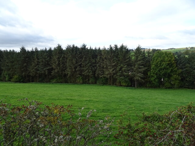
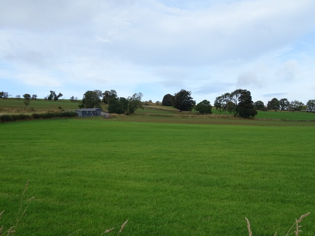
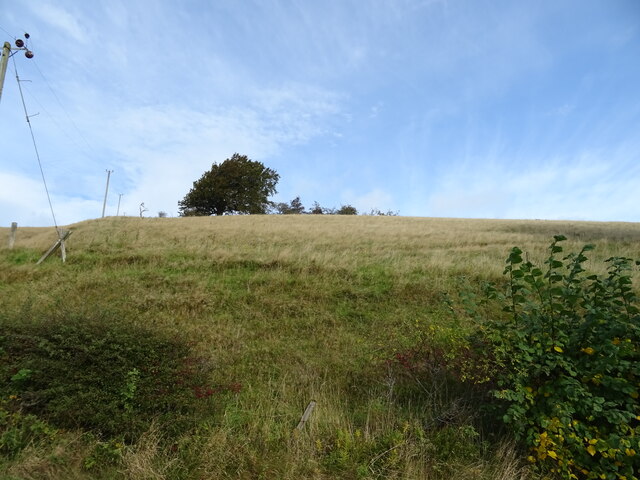
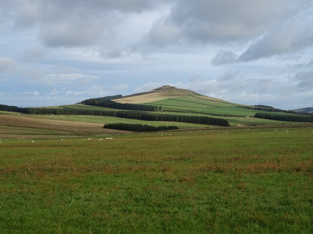
Weensmoor Plantation is a large woodland area located in Roxburghshire, Scotland. The plantation covers approximately 750 acres and is predominantly made up of a mix of coniferous and deciduous trees, creating a diverse and picturesque forest landscape.
The plantation is managed sustainably, with selective logging and replanting practices in place to ensure the long-term health and vitality of the woodland. This careful management has led to a thriving ecosystem within the plantation, supporting a variety of wildlife including red squirrels, deer, and various bird species.
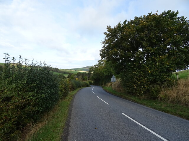
Visitors to Weensmoor Plantation can enjoy a network of well-maintained walking and cycling trails that wind through the forest, offering opportunities to explore the natural beauty of the area. The plantation is also popular with birdwatchers and nature enthusiasts, who come to observe the diverse bird species that call the woodland home.
Overall, Weensmoor Plantation is a tranquil and scenic destination for those seeking to immerse themselves in nature and enjoy the peaceful surroundings of a well-managed forest environment.
If you have any feedback on the listing, please let us know in the comments section below.
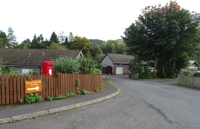
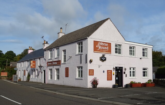
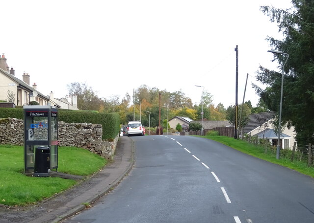
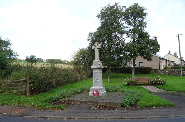
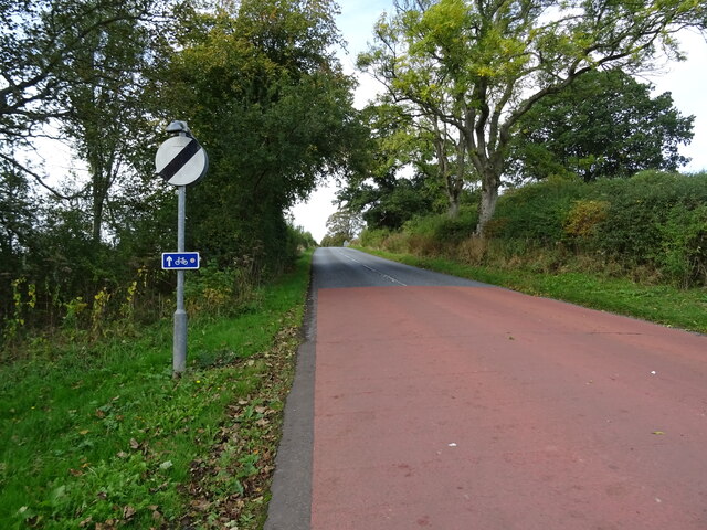
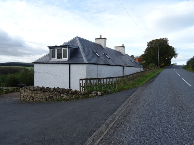
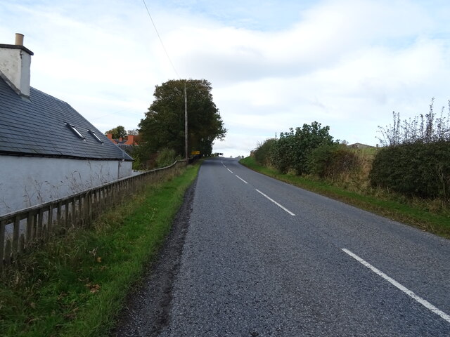
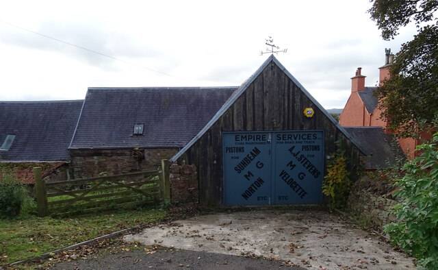
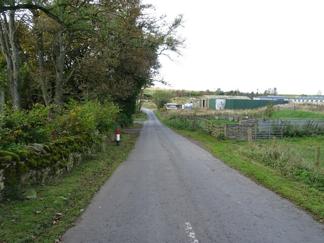
Weensmoor Plantation Images
Images are sourced within 2km of 55.407029/-2.6773019 or Grid Reference NT5712. Thanks to Geograph Open Source API. All images are credited.

Weensmoor Plantation is located at Grid Ref: NT5712 (Lat: 55.407029, Lng: -2.6773019)
Unitary Authority: The Scottish Borders
Police Authority: The Lothians and Scottish Borders
What 3 Words
///charities.fussed.ally. Near Hawick, Scottish Borders
Nearby Locations
Related Wikis

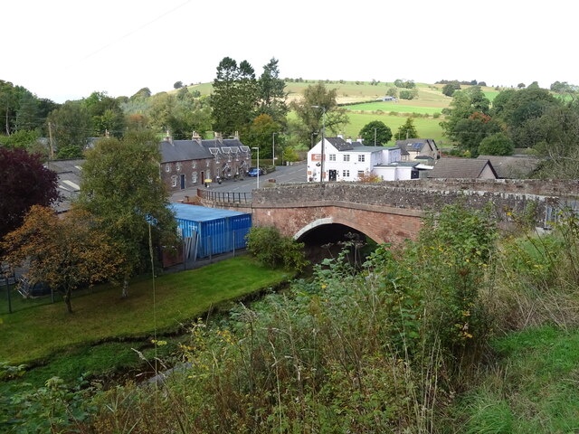
Bonchester Bridge
Bonchester Bridge (Scots Binster Brig) is a village in Roxburghshire, within the Scottish Borders area of Scotland, lying on the Rule Water, six miles...

Hobkirk
Hobkirk (Scottish Gaelic: Eaglais Ruail) is a village and civil parish in the Scottish Borders area of Scotland, by the Rule Water, south-west of Jedburgh...

Hallrule
Hallrule is a hamlet on the B6357 road, in the Scottish Borders area of Scotland, on the Rule Water, near Abbotrule, Bedrule Bonchester Bridge, Denholm...

Rubers Law
Rubers Law is a prominent, conical hill in the Scottish Borders area of south-east Scotland. It stands on the south bank of the River Teviot, between the...
Nearby Amenities
Located within 500m of 55.407029,-2.6773019Have you been to Weensmoor Plantation?
Leave your review of Weensmoor Plantation below (or comments, questions and feedback).