Chadstone
Settlement in Northamptonshire
England
Chadstone
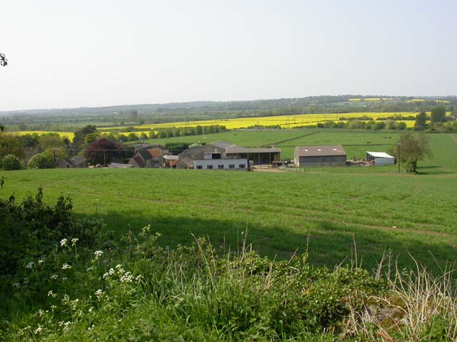
Chadstone is a small village located in the county of Northamptonshire, England. Situated approximately 7 miles east of the county town of Northampton, it is a picturesque and tranquil rural area surrounded by rolling countryside.
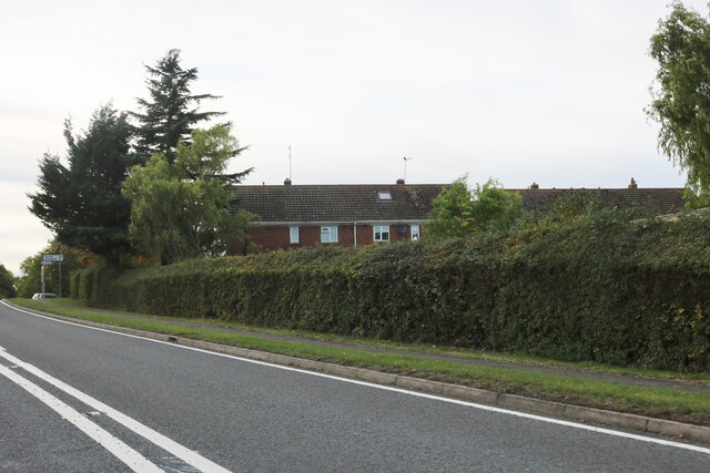
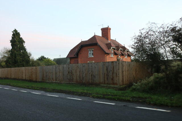
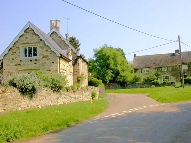
The village itself consists of a small cluster of houses, most of which are traditional stone-built cottages, giving it a charming and idyllic atmosphere. The population of Chadstone is relatively small, with just over 200 residents, contributing to its close-knit community feel.
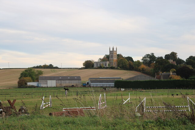
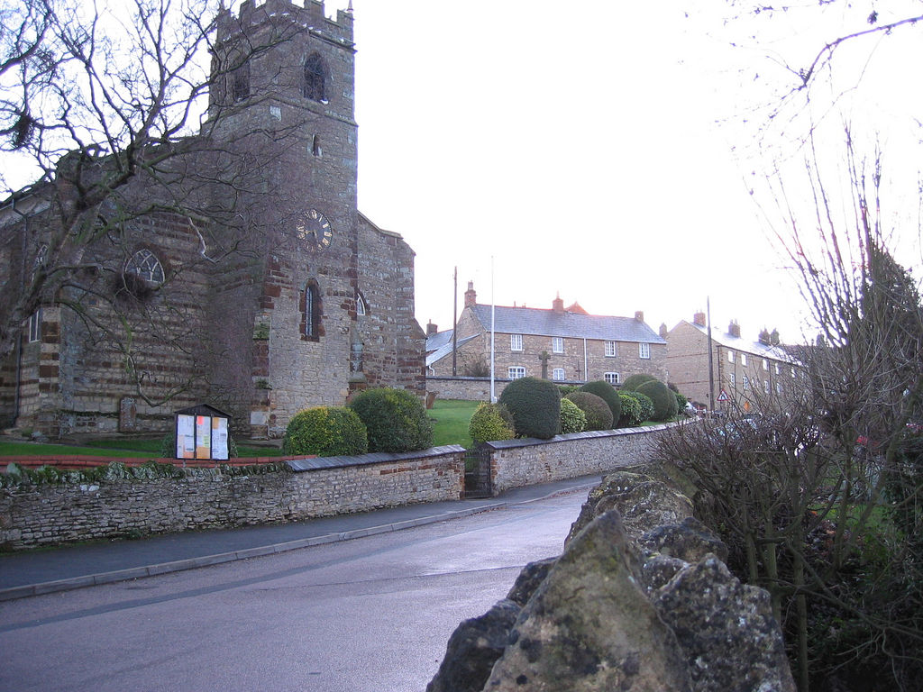
With its roots dating back to medieval times, Chadstone retains a sense of history and heritage. There are several notable landmarks in the area, including the Grade II listed St. Mary's Church, which dates back to the 13th century. The church features stunning architecture and is a popular spot for visitors interested in historical and architectural significance.
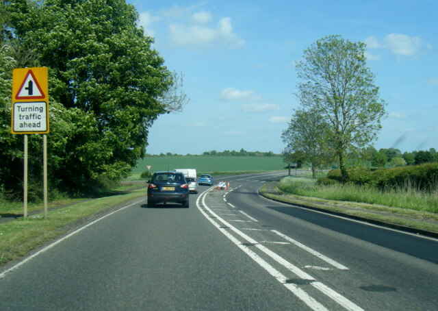
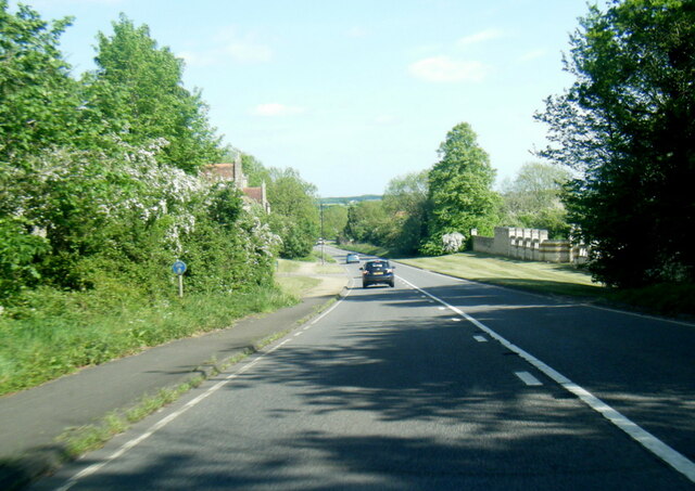
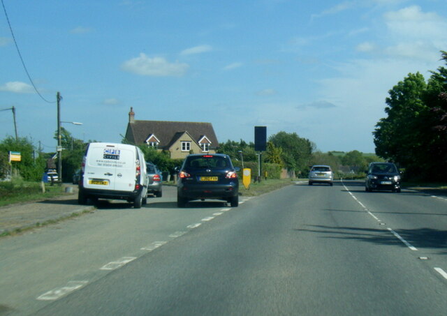
Chadstone is well-connected to surrounding areas, with good transport links to neighboring villages and towns. The village benefits from a regular bus service, making it convenient for residents to access nearby amenities and services.
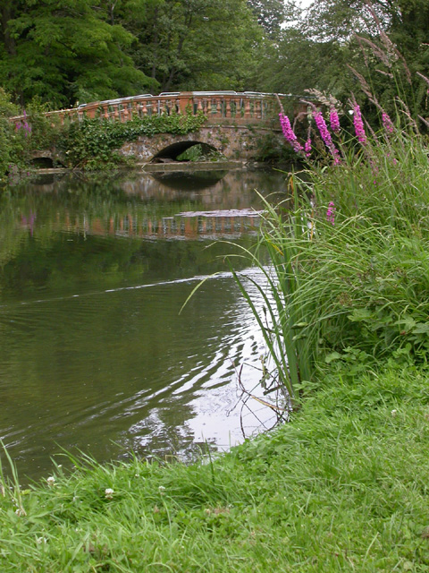
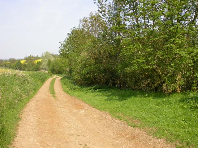
The surrounding countryside offers opportunities for outdoor enthusiasts, with plenty of walking and cycling routes that showcase the natural beauty of Northamptonshire. The village is also within close proximity to Pitsford Water, a reservoir and nature reserve, which provides further recreational activities such as fishing, birdwatching, and sailing.
Overall, Chadstone offers a peaceful and picturesque setting, ideal for those seeking a tranquil rural lifestyle while still being within easy reach of larger towns and cities.
If you have any feedback on the listing, please let us know in the comments section below.
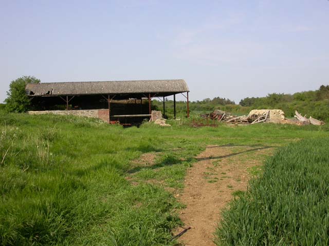
Chadstone Images
Images are sourced within 2km of 52.219347/-0.753513 or Grid Reference SP8558. Thanks to Geograph Open Source API. All images are credited.


Chadstone is located at Grid Ref: SP8558 (Lat: 52.219347, Lng: -0.753513)
Unitary Authority: West Northamptonshire
Police Authority: Northamptonshire
What 3 Words
///surpassed.moats.majors. Near Cogenhoe, Northamptonshire
Nearby Locations
Related Wikis

Chadstone, Northamptonshire
Chadstone is a hamlet in the civil parish of Castle Ashby, West Northamptonshire.

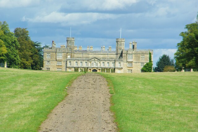
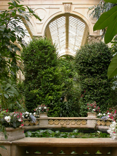
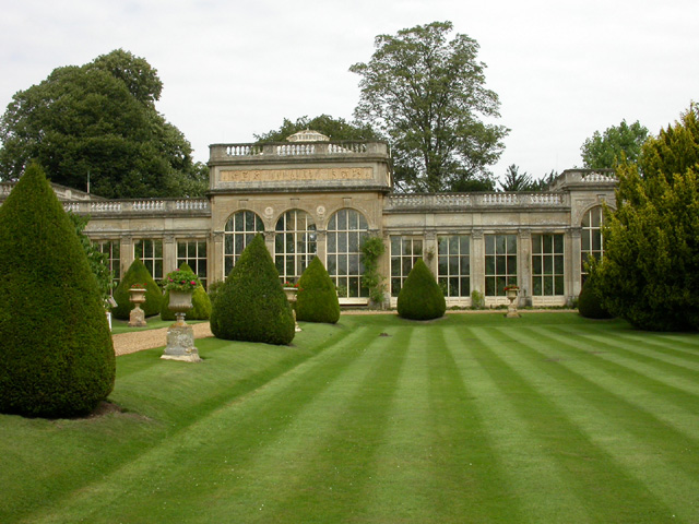
Castle Ashby House
Castle Ashby, often Castle Ashby House (to differentiate it from the parish) is a country house at Castle Ashby, Northamptonshire, England. It is one of...
Castle Ashby
Castle Ashby is a village and civil parish in the West Northamptonshire unitary authority area of Northamptonshire, England. At the 2011 Census, the population...
Whiston, Northamptonshire
Whiston is a village and former civil parish, now in the parish of Cogenhoe and Whiston, in the West Northamptonshire district, in the ceremonial county...
Denton, Northamptonshire
Denton is a small village and civil parish on the A428 road about 6 miles (10 km) south-east of Northampton. It has a pub, the Red Lion, a village hall...

Yardley Hastings
Yardley Hastings is a village and civil parish in the West Northamptonshire unitary authority area of Northamptonshire, England. It is located south-east...

Yardley Chase
Yardley Chase is a 357.6-hectare (884-acre) biological Site of Special Scientific Interest, mostly in Northamptonshire, with a small area in the south...

Grendon, Northamptonshire
Grendon is a small village and civil parish in rural Northamptonshire, England, on the borders of Bedfordshire and Buckinghamshire. Many houses are made...
Nearby Amenities
Located within 500m of 52.219347,-0.753513Have you been to Chadstone?
Leave your review of Chadstone below (or comments, questions and feedback).