Pitkierie Wood

Wood, Forest in Fife

Scotland

Pitkierie Wood

Coming in to Kilrenny Walkers crossing what once was a bridge across a railway.
Coming in to Kilrenny Credit: James Allan

Pitkierie Wood is a picturesque forest located in the region of Fife, Scotland. Covering an area of approximately 100 hectares, the wood is a cherished natural resource and recreational spot for both locals and visitors. Situated near the village of Kinglassie, Pitkierie Wood boasts a diverse range of flora and fauna, making it an ideal destination for nature enthusiasts.

The wood is predominantly composed of native broadleaf species such as oak, birch, and beech, which create a stunning canopy that provides shade and habitat for various woodland creatures. Walking through the wood, one can also spot patches of coniferous trees, adding to the diversity of the landscape.

Tranquil paths wind their way through Pitkierie Wood, allowing visitors to explore its beauty at their own pace. These paths are well-maintained and suitable for both walking and cycling, making it a popular destination for outdoor activities. Along the trails, visitors may encounter wildflowers, ferns, and mosses that contribute to the wood's enchanting ambiance.

In addition to its natural beauty, Pitkierie Wood also offers a haven for wildlife. The forest is home to a variety of bird species, including buzzards, woodpeckers, and owls. Squirrels, rabbits, and deer are also commonly spotted within the wood, creating an exciting opportunity for wildlife enthusiasts.

Overall, Pitkierie Wood is a cherished natural gem within Fife, offering visitors a chance to immerse themselves in the beauty of Scotland's woodlands. Whether it's for a peaceful walk, a cycling adventure, or a wildlife spotting expedition, this forest is sure to captivate all who venture within its bounds.

If you have any feedback on the listing, please let us know in the comments section below.

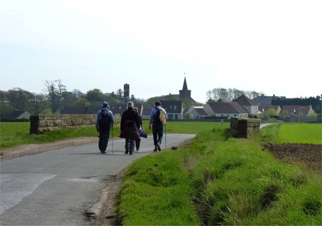
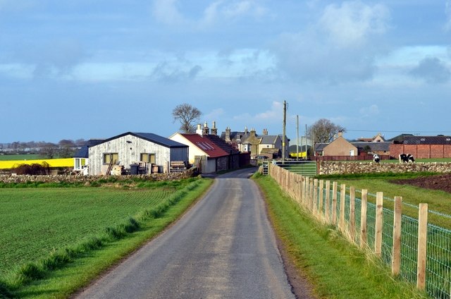
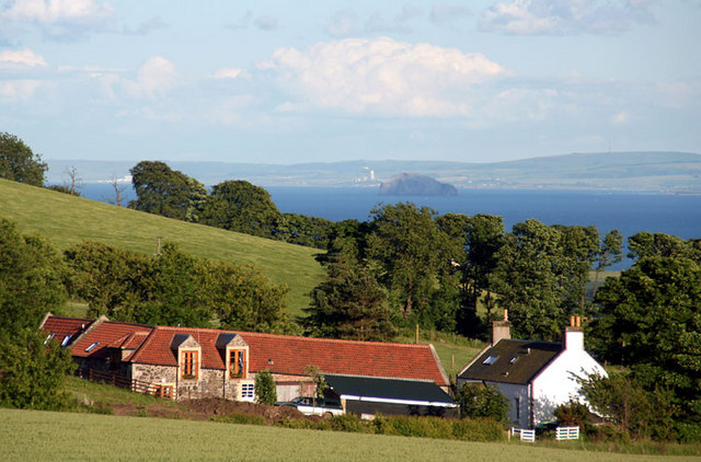
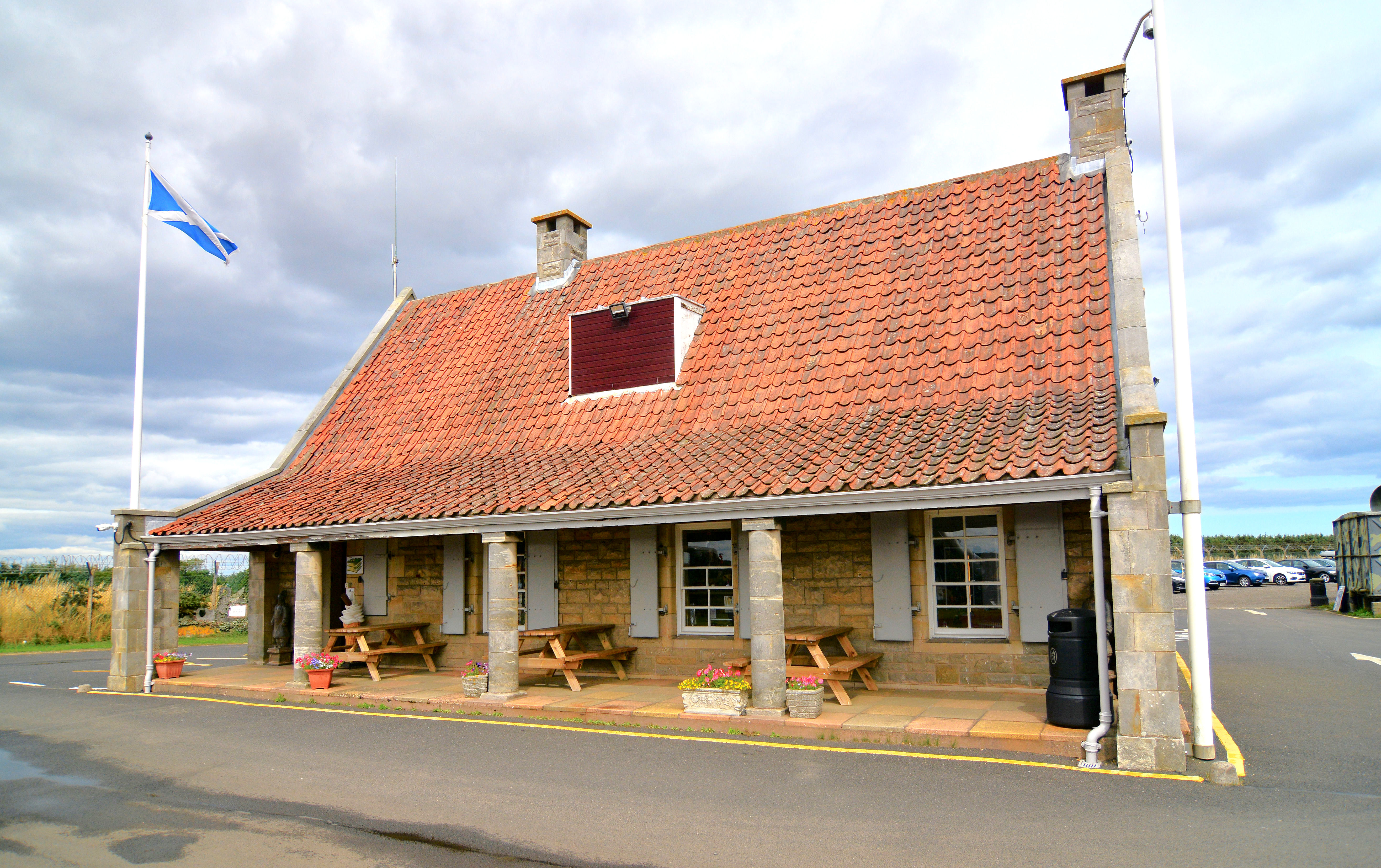
Pitkierie Wood Images

Images are sourced within 2km of 56.249813/-2.7118981 or Grid Reference NO5506. Thanks to Geograph Open Source API. All images are credited.

Coming in to Kilrenny Walkers crossing what once was a bridge across a railway.
Coming in to Kilrenny
Walkers crossing what once was a bridge across a railway.
West Pitkierie Doocot The octagonal doocot dates from the late 18th century.
West Pitkierie Doocot
The octagonal doocot dates from the late 18th century.
Milestone, West Pitkierie The milestone is beside the B9131.

Milestones are the original roadside heritage features with many dating back hundreds of years and these historic items are under threat from highway developments.
Milestone, West Pitkierie
The milestone is beside the B9131. Milestones are the original roadside heritage features with many dating back hundreds of years and these historic items are under threat from highway developments.
Milestone, West Pitkierie The milestone stands beside the B9131.  For a wider view of the milestone <a href="https://www.geograph.org.uk/photo/2806972">NO5505 : Milestone, West Pitkierie</a>

Milestones did not come into general use until the Turnpike Act of 1766 made them compulsory on turnpike roads, these roads were built by private enterprise under licence from the Government and maintained by tolls on those who used them.  Before this Act milestones were put up occasionally, often as charitable acts and commemorations.   Many Turnpike Act stones still exist.  They are usually 2-3 ft high, with the initial letter or abbreviation of the nearest market town shown on two faces, and the distance from it.
Milestone, West Pitkierie
The milestone stands beside the B9131. For a wider view of the milestone NO5505 : Milestone, West Pitkierie Milestones did not come into general use until the Turnpike Act of 1766 made them compulsory on turnpike roads, these roads were built by private enterprise under licence from the Government and maintained by tolls on those who used them. Before this Act milestones were put up occasionally, often as charitable acts and commemorations. Many Turnpike Act stones still exist. They are usually 2-3 ft high, with the initial letter or abbreviation of the nearest market town shown on two faces, and the distance from it.
Milestone and bench mark, West Pitkierie The Ordnance Survey bench mark is to be found on the side of the milestone.  For a view of the milestone <a href="https://www.geograph.org.uk/photo/2806972">NO5505 : Milestone, West Pitkierie</a> and for further information on the cut mark and others in the area <span class="nowrap"><a title="http://www.bench-marks.org.uk/bm41428" rel="nofollow ugc noopener" href="http://www.bench-marks.org.uk/bm41428">Link</a><img style="margin-left:2px;" alt="External link" title="External link - shift click to open in new window" src="https://s1.geograph.org.uk/img/external.png" width="10" height="10"/></span>
Milestone and bench mark, West Pitkierie
The Ordnance Survey bench mark is to be found on the side of the milestone. For a view of the milestone NO5505 : Milestone, West Pitkierie and for further information on the cut mark and others in the area LinkExternal link
East Pitkierie
East Pitkierie
Pitkierie fields Looking south from Pitkierie farm.
Pitkierie fields
Looking south from Pitkierie farm.
West Pitkierie Old farm buildings on the West Pitkierie farm.
West Pitkierie
Old farm buildings on the West Pitkierie farm.
Kilrenny Common Rich arable land in east Fife, viewed in mid-September.
Kilrenny Common
Rich arable land in east Fife, viewed in mid-September.
B9171 near Carvenom Stubble covered fields in the East Neuk on a rather dreich day at the end of a prolonged Winter.
B9171 near Carvenom
Stubble covered fields in the East Neuk on a rather dreich day at the end of a prolonged Winter.
Winter crops There is a wide variety of sowing times here. This field was sown the previous Summer or Autumn while neighbouring fields are still yet to be ploughed. The prolonged winter has made timing difficult.
Winter crops
There is a wide variety of sowing times here. This field was sown the previous Summer or Autumn while neighbouring fields are still yet to be ploughed. The prolonged winter has made timing difficult.
B9131 The road between St Andrews and Anstruther, straight with fast traffic.
B9131
The road between St Andrews and Anstruther, straight with fast traffic.
Wheat, Bonerbo
Wheat, Bonerbo
Barley, near Frithfield Gently sloping ground above Anstruther with a view of the Isle of May.
Barley, near Frithfield
Gently sloping ground above Anstruther with a view of the Isle of May.
B9131 Anstruther to St Andrews road - rather fast.
B9131
Anstruther to St Andrews road - rather fast.
Barley, Spalefield
Barley, Spalefield
Pitkierie A line of trees where there was once a hedge. The conversion to cereals from livestock has not been total as there are cattle in the background, but most land here is now arable with a lot of spring barley for malting being grown as well as the wheat here.
Pitkierie
A line of trees where there was once a hedge. The conversion to cereals from livestock has not been total as there are cattle in the background, but most land here is now arable with a lot of spring barley for malting being grown as well as the wheat here.
Milestone, Pitkierie The paint is a bit faded on this one.
Milestone, Pitkierie
The paint is a bit faded on this one.
Show me another place!

Pitkierie Wood is located at Grid Ref: NO5506 (Lat: 56.249813, Lng: -2.7118981)

Unitary Authority: Fife

Police Authority: Fife

What 3 Words

///danger.weeknight.smug. Near Anstruther, Fife

Nearby Locations

Pitkierie Wood

Related Wikis

East Neuk

The East Neuk ( ) or East Neuk of Fife is an area of the coast of Fife, Scotland. "Neuk" is the Scots word for nook or corner, and the East Neuk is generally...

Kilrenny, Anstruther Easter and Anstruther Wester

Kilrenny, Anstruther Easter and Anstruther Wester was a royal and small burgh in Fife, Scotland from 1930 to 1975.The burgh was formed by the amalgamation...

Scotland's Secret Bunker

Scotland's Secret Bunker is a nuclear bunker turned into a Cold War museum. == History == The nuclear bunker was built in 1952 with the original purpose...

Kilrenny

Kilrenny (Scottish Gaelic: Cill Reithnidh) is a village in Fife, Scotland. Part of the East Neuk, it lies immediately to the north of (but inland and separate...

Nearby Amenities

Located within 500m of 56.249813,-2.7118981
Loanhead
Place: isolated_dwelling
Lat/Long: 56.2478085/-2.7175657
Stop
Lat/Long: 56.24968/-2.7180854
Give Way
Lat/Long: 56.2496371/-2.7177777
Power: pole
Lat/Long: 56.2481365/-2.7171445
Power: pole
Lat/Long: 56.2484983/-2.7173157
Power: pole
Lat/Long: 56.2488823/-2.7175524
Power: pole
Lat/Long: 56.2492335/-2.7177744
Power: pole
Lat/Long: 56.2496151/-2.7181422
Power: pole
Lat/Long: 56.2494701/-2.7098782
Power: pole
Lat/Long: 56.2497696/-2.7089206
Power: pole
Lat/Long: 56.2499387/-2.7078277
Power: pole
Lat/Long: 56.2501195/-2.7067159
Power: pole
Lat/Long: 56.2503074/-2.7056293
Power: pole
Lat/Long: 56.2505141/-2.7044371
The data included in this document is from www.openstreetmap.org. The data is made available under ODbL.

Have you been to Pitkierie Wood?

Leave your review of Pitkierie Wood below (or comments, questions and feedback).