Clackmae Dean

Wood, Forest in Roxburghshire

Scotland

Clackmae Dean

Ploughed fields, Huntshaw Hill View from the summit of White Hill, over an hidden Earlston to arable land to the north.
Ploughed fields, Huntshaw Hill Credit: Richard Webb

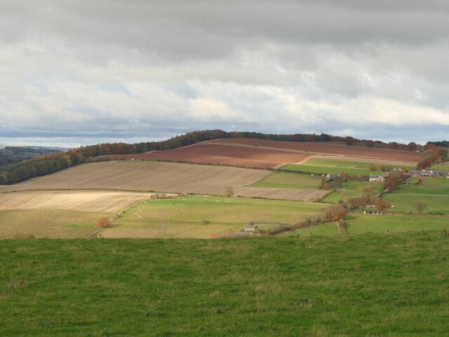
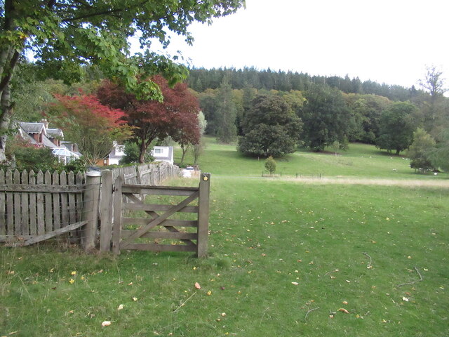
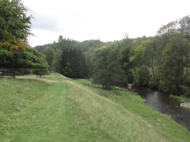
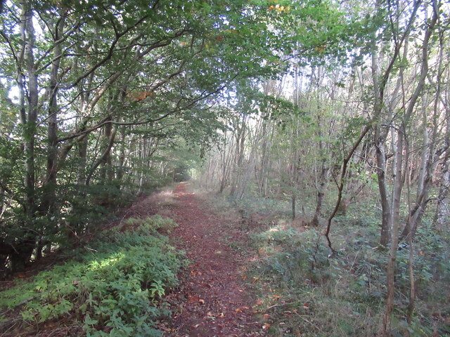
Clackmae Dean is a picturesque woodland area located in Roxburghshire, Scotland. Nestled between rolling hills and meandering rivers, this enchanting forest is a haven for nature lovers and outdoor enthusiasts alike. Covering an extensive area, Clackmae Dean is renowned for its diverse flora and fauna, making it a popular destination for wildlife enthusiasts and birdwatchers.

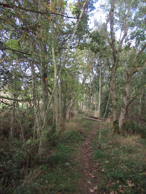
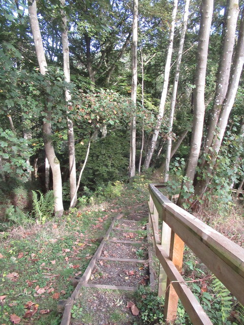
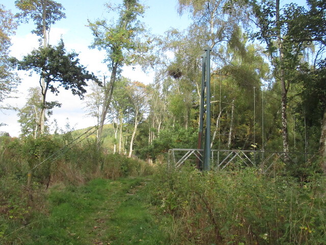
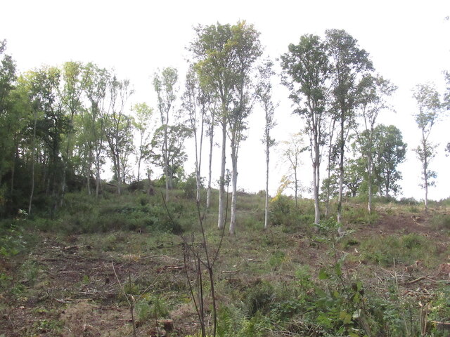
The forest is predominantly composed of native Scottish tree species, including oak, birch, and pine. These majestic trees provide a lush canopy that filters the sunlight and creates a serene atmosphere within the woods. Walking trails wind through the forest, allowing visitors to explore its hidden gems and discover its tranquil beauty.

Clackmae Dean is home to a wide range of wildlife, including red squirrels, deer, and a variety of bird species. The forest's diverse ecosystem creates a habitat that supports the survival of these creatures, making it an ideal location for wildlife spotting and photography.

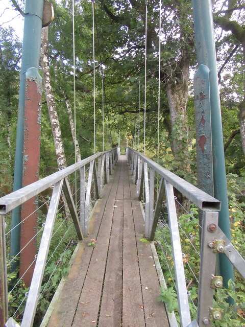
In addition to its natural beauty, Clackmae Dean offers recreational activities for visitors to enjoy. Hiking, cycling, and horseback riding trails are available, catering to individuals of all ages and fitness levels. The forest is also equipped with picnic areas and designated camping spots, allowing visitors to immerse themselves fully in the peaceful surroundings.

Overall, Clackmae Dean is a hidden gem in Roxburghshire, offering a serene and enchanting escape from the hustle and bustle of everyday life. With its breathtaking scenery, diverse wildlife, and recreational opportunities, it is a must-visit destination for nature enthusiasts and those seeking solace in the beauty of the Scottish countryside.

If you have any feedback on the listing, please let us know in the comments section below.

Clackmae Dean Images

Images are sourced within 2km of 55.646282/-2.7038619 or Grid Reference NT5539. Thanks to Geograph Open Source API. All images are credited.

Ploughed fields, Huntshaw Hill View from the summit of White Hill, over an hidden Earlston to arable land to the north.
Ploughed fields, Huntshaw Hill
View from the summit of White Hill, over an hidden Earlston to arable land to the north.
Waymarked path, Carolside About to descend steeply to a suspension bridge.
Waymarked path, Carolside
About to descend steeply to a suspension bridge.
Steps, Carolside A steep descent to the river and a suspension bridge on a well maintained path.
Steps, Carolside
A steep descent to the river and a suspension bridge on a well maintained path.
Suspension bridge, Carolside Built as part of a path network around Earlston.
Suspension bridge, Carolside
Built as part of a path network around Earlston.
Path and suspension bridge, Carolside
Young Covert
Young Covert
Suspension bridge, Carolside Built c.2004 as part of a local path network.
Suspension bridge, Carolside
Built c.2004 as part of a local path network.
Remember to shut the gate A gate has outlived a fence.
Remember to shut the gate
A gate has outlived a fence.
Leader Water, Carolside View from an oak bench overlooking the river.
Leader Water, Carolside
View from an oak bench overlooking the river.
Path above the Leader Water Climbing towards the A68.
Path above the Leader Water
Climbing towards the A68.
A68 north of Earlston It is possible to walk inside the Armco, which is a comfort.
A68 north of Earlston
It is possible to walk inside the Armco, which is a comfort.
Kedzlie Farm entrance With decorative gate pillars, and a small rookery in the trees above.
Kedzlie Farm entrance
With decorative gate pillars, and a small rookery in the trees above.
Kedzlie Farm buildings On some map scales the farm name is spelled 'Kedslie'.
Kedzlie Farm buildings
On some map scales the farm name is spelled 'Kedslie'.
Kedzlie Farm buildings With a collecting area at the entrance from the road.
Kedzlie Farm buildings
With a collecting area at the entrance from the road.
Farm buildings at Kedzlie Farm Downhill from the main farm buildings, by the Kedslie Burn, so possibly there may have been a mill there in the past.
Farm buildings at Kedzlie Farm
Downhill from the main farm buildings, by the Kedslie Burn, so possibly there may have been a mill there in the past.
Bridge over Leader Water A metal span with a decorative wooden overlay. The track leads from the A68 to Chapel on Leader across the river.
Bridge over Leader Water
A metal span with a decorative wooden overlay. The track leads from the A68 to Chapel on Leader across the river.
The Leader Water Looking downstream, through a lattice of the bridge over, at Chapel on Leader.
The Leader Water
Looking downstream, through a lattice of the bridge over, at Chapel on Leader.
Pasture at Chapel on Leader Looking down the valley of the Leader Water, from the bridge over.
Pasture at Chapel on Leader
Looking down the valley of the Leader Water, from the bridge over.
Show me another place!

Clackmae Dean is located at Grid Ref: NT5539 (Lat: 55.646282, Lng: -2.7038619)

Unitary Authority: The Scottish Borders

Police Authority: The Lothians and Scottish Borders

What 3 Words

///flock.crunches.books. Near Earlston, Scottish Borders

Nearby Locations

Clackmae Dean

Related Wikis

Carolside, Scottish Borders

Carolside is an estate by the Leader Water, in the Scottish Borders. It is located one mile (1.6 km) north of Earlston, in the former county of Berwickshire...
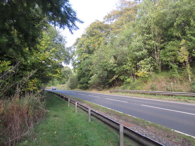
A6105 road

The A6105 road is an A road in the Scottish Borders, Scotland and Northumberland, England. It runs from the village of Earlston to Berwick on Tweed going...

Rhymer's Tower

Rhymer's Tower, also known as Earlston Castle, is located near the village of Earlston, Scottish Borders, Scotland. The castle was the caput baroniae of...
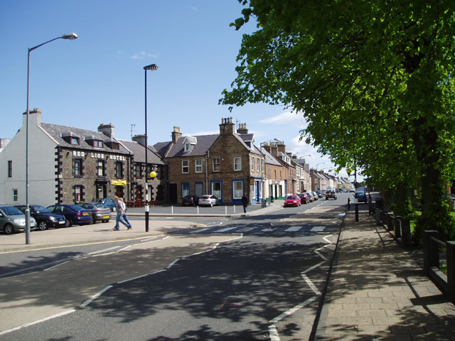
Earlston

Earlston (Scots: Yerlston; Scottish Gaelic: Dùn Airchill) is a civil parish and market town in the county of Berwickshire, within the Scottish Borders...

Earlston railway station

Earlston railway station, in the Scottish Borders village of Earlston, was a station on the now disused Berwickshire Railway.There were two platforms...

Birkenside, Scottish Borders

Birkenside is a village in the Scottish Borders, Scotland.

Earlston High School

Earlston High School is a secondary school in Earlston, Scottish Borders. It serves Earlston, as well as the surrounding area. Since 2009, the school has...

St Andrew's College, Drygrange

St Andrew's College, Drygrange, located near Melrose, Scotland, was a Roman Catholic seminary founded in 1953 and closed in 1986. == History == === Foundation... ===

Nearby Amenities

Located within 500m of 55.646282,-2.7038619
Clackmae
Place: hamlet
Lat/Long: 55.645626/-2.699714
Leadervale Lodge
Place: isolated_dwelling
Lat/Long: 55.6453755/-2.6961747
Carolside Lodge
Place: isolated_dwelling
Lat/Long: 55.6489903/-2.700709
Nether Cairney
Place: hamlet
Lat/Long: 55.6495374/-2.701383
Power: pole
Lat/Long: 55.6455562/-2.6961055
Power: pole
Lat/Long: 55.645699/-2.6974413
Power: pole
Lat/Long: 55.6456573/-2.6987105
Power: pole
Lat/Long: 55.6456321/-2.6999641
Power: pole
Lat/Long: 55.6460679/-2.7005131
Power: pole
Lat/Long: 55.64652/-2.7010895
Power: pole
Lat/Long: 55.6471388/-2.7018748
Power: pole
Lat/Long: 55.6476632/-2.7025276
Power: pole
Lat/Long: 55.6481674/-2.7031738
Power: pole
Lat/Long: 55.6484926/-2.7035766
Power: pole
Lat/Long: 55.6490268/-2.7042423
Power: pole
Lat/Long: 55.6495602/-2.7049037
Power: pole
Lat/Long: 55.6501334/-2.7056386
Generator Method: wind_turbine
Generator Source: wind
Generator Type: horizontal_axis
Power: generator
Lat/Long: 55.6438743/-2.7053028
Power: pole
Lat/Long: 55.6487263/-2.7095267
Power: pole
Lat/Long: 55.6487449/-2.7083213
Power: pole
Lat/Long: 55.6486029/-2.7071335
Power: pole
Lat/Long: 55.6484784/-2.7060164
Power: pole
Lat/Long: 55.6483563/-2.7048485
Power: pole
Lat/Long: 55.6482242/-2.7037027
Communication Mobile Phone: yes
Man Made: antenna
Lat/Long: 55.6490259/-2.7082027
Power: pole
Lat/Long: 55.6498519/-2.7044746
Power: pole
Lat/Long: 55.6495733/-2.7033038
Power: pole
Lat/Long: 55.6492832/-2.7021127
Power: pole
Lat/Long: 55.6492458/-2.7019422
The data included in this document is from www.openstreetmap.org. The data is made available under ODbL.

Have you been to Clackmae Dean?

Leave your review of Clackmae Dean below (or comments, questions and feedback).