Bank Plantation

Wood, Forest in Roxburghshire

Scotland

Bank Plantation

Lilliesleaf Parish Church The first church on this site was said to be built in 1110 and replaced in 1430. The present church was built in 1771 and extended in 1883 and 1910 with the addition of a bell tower. This photo was taken at 11.50 on Christmas Day.
Lilliesleaf Parish Church Credit: Walter Baxter

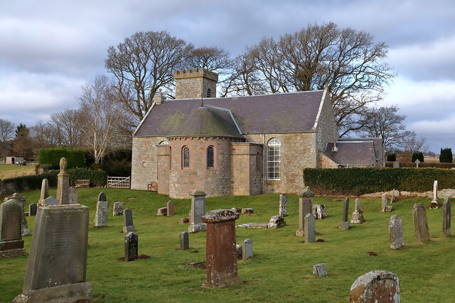
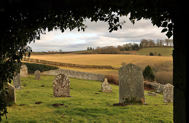
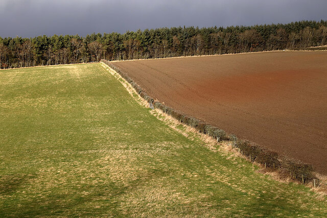
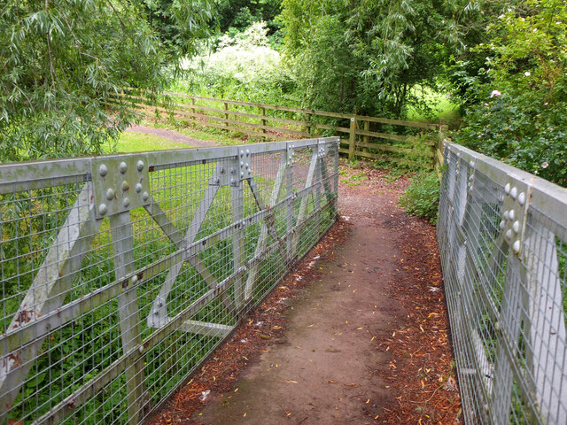
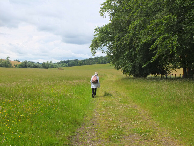
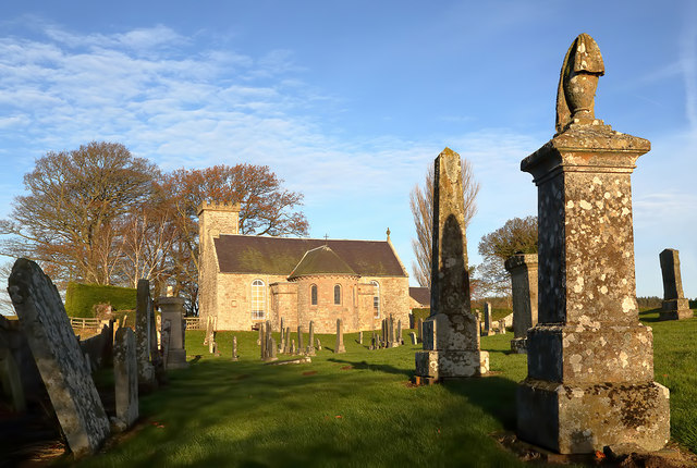
Bank Plantation is a picturesque wood located in Roxburghshire, Scotland. Situated in the heart of the beautiful Scottish Borders region, the plantation covers an area of approximately 100 hectares. It is characterized by its dense forest cover and diverse range of tree species, making it a haven for nature lovers and outdoor enthusiasts.

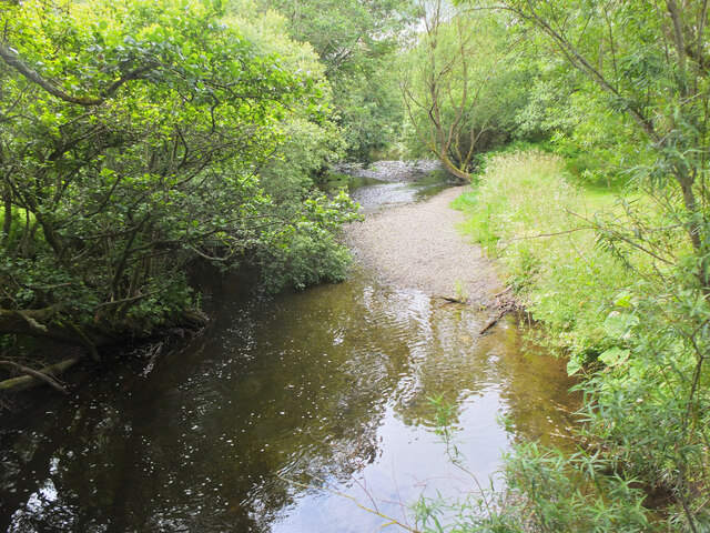
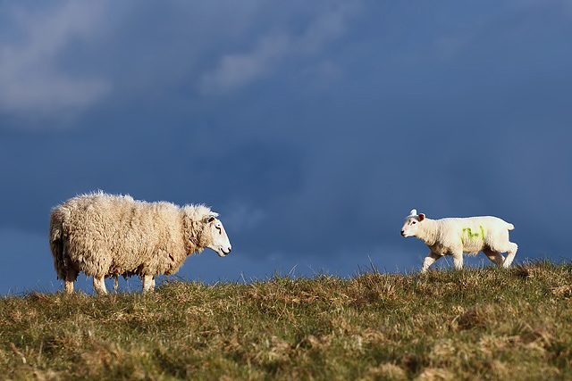
The wood consists mainly of native trees such as oak, beech, and birch, which create a stunning tapestry of colors throughout the seasons. These trees provide a vital habitat for a variety of wildlife, including red squirrels, roe deer, and a myriad of bird species.

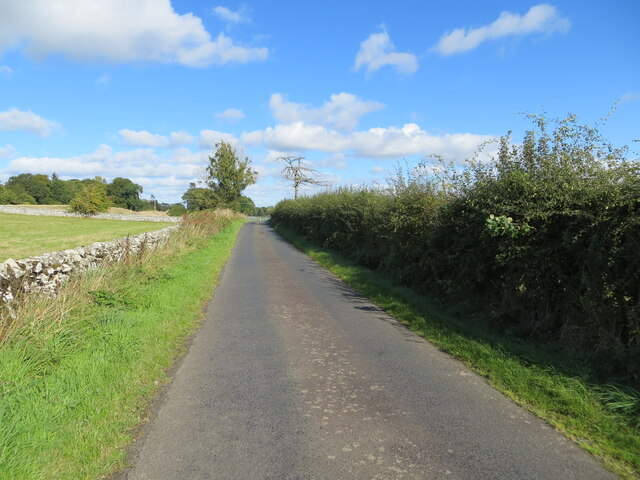
Bank Plantation offers numerous opportunities for recreational activities. There are well-maintained walking trails that wind their way through the wood, allowing visitors to immerse themselves in the natural beauty of the surroundings. The trails are suitable for all ages and fitness levels, making it an ideal destination for families and individuals alike.

In addition to walking, the wood also provides opportunities for birdwatching, with several bird hides strategically placed to allow visitors to observe the diverse avian population in their natural habitat. The plantation also boasts picnic areas, where visitors can relax and enjoy the tranquil atmosphere while surrounded by the sights and sounds of nature.

Bank Plantation is easily accessible, with ample parking available for visitors. The wood is managed by a dedicated team of forestry professionals who ensure its conservation and promote sustainable practices. As such, Bank Plantation is not only a scenic and peaceful destination but also an important contributor to the local ecosystem and the region's biodiversity.

If you have any feedback on the listing, please let us know in the comments section below.

Bank Plantation Images

Images are sourced within 2km of 55.532719/-2.7170412 or Grid Reference NT5426. Thanks to Geograph Open Source API. All images are credited.

Lilliesleaf Parish Church The first church on this site was said to be built in 1110 and replaced in 1430. The present church was built in 1771 and extended in 1883 and 1910 with the addition of a bell tower. This photo was taken at 11.50 on Christmas Day.
Lilliesleaf Parish Church
The first church on this site was said to be built in 1110 and replaced in 1430. The present church was built in 1771 and extended in 1883 and 1910 with the addition of a bell tower. This photo was taken at 11.50 on Christmas Day.
Lilliesleaf Churchyard This view of the southeast part of the churchyard was taken from the entrance to the Riddell burial aisle.
Lilliesleaf Churchyard
This view of the southeast part of the churchyard was taken from the entrance to the Riddell burial aisle.
A symbolic gravestone at Lilliesleaf Churchyard The head of the winged soul on this lichen-covered portrait headstone is missing.
A symbolic gravestone at Lilliesleaf Churchyard
The head of the winged soul on this lichen-covered portrait headstone is missing.
Hedge and wall enclosed minor road between Midlem and Eastfield Looking north-eastward.
Hedge and wall enclosed minor road between Midlem and Eastfield
Looking north-eastward.
Mixed farmland at Lilliesleaf The fields were viewed from the B6400 opposite Lilliesleaf Parish Church.
Mixed farmland at Lilliesleaf
The fields were viewed from the B6400 opposite Lilliesleaf Parish Church.
A gravestone detail at Lilliesleaf This is the top part of an 18th century wall monument gravestone in an enclosure at Lilliesleaf Parish Churchyard. The portrait figure represents the deceased holding a book to show religious devotion, while the menacing figure on the left is a symbol of mortality, a crown-wearing skeleton, the King of Terrors, holding an hourglass and a dart. It was difficult to make anything out on the inscription below.
There is an almost identical stone at Roberton Cemetery <a href="https://www.geograph.org.uk/photo/2551444">NT4314 : A gravestone detail at Roberton</a>.
A gravestone detail at Lilliesleaf
This is the top part of an 18th century wall monument gravestone in an enclosure at Lilliesleaf Parish Churchyard. The portrait figure represents the deceased holding a book to show religious devotion, while the menacing figure on the left is a symbol of mortality, a crown-wearing skeleton, the King of Terrors, holding an hourglass and a dart. It was difficult to make anything out on the inscription below. There is an almost identical stone at Roberton Cemetery NT4314 : A gravestone detail at Roberton.
Sewage treatment plant, Lilliesleaf Near the east end of the village on the lane down to the Ale Water.
Sewage treatment plant, Lilliesleaf
Near the east end of the village on the lane down to the Ale Water.
Ale Water at Lilliesleaf Looking upstream from the Jubilee footbridge.
Ale Water at Lilliesleaf
Looking upstream from the Jubilee footbridge.
Jubilee Bridge, Lilliesleaf The bridge carries a path over the Ale Water with access westwards to a field track to Riddell or eastwards to meet the B6453 road to Midlem.
Jubilee Bridge, Lilliesleaf
The bridge carries a path over the Ale Water with access westwards to a field track to Riddell or eastwards to meet the B6453 road to Midlem.
Field track to Riddell A track through farmland to the estate at Riddell. Compare with <a href="https://www.geograph.org.uk/photo/3035817">NT5325 : Field track, Lilliesleaf</a> taken here on my previous visit in the soggy July of 2012.
Field track to Riddell
A track through farmland to the estate at Riddell. Compare with NT5325 : Field track, Lilliesleaf taken here on my previous visit in the soggy July of 2012.
Muddy road, Netherraw Christmas tree harvest season.
Muddy road, Netherraw
Christmas tree harvest season.
B6400-B6359 junction
Shawburn, a large farmhouse
A ewe with lamb at Kippilaw This evening view was taken against a threatening sky.
A ewe with lamb at Kippilaw
This evening view was taken against a threatening sky.
Arable land, Lillesleaf
B6359 East of Lilliesleaf.
B6359
East of Lilliesleaf.
Lilliesleaf Parish Church This rear view of the church was taken from the old graveyard on a fine December morning.
Lilliesleaf Parish Church
This rear view of the church was taken from the old graveyard on a fine December morning.
An old gravestone at Lilliesleaf Parish Churchyard The top part of this 18th century stone is resting against a wall in the churchyard.
The inscription reads:

HERE LYES
THE BODY OF
JOHN WINTERUP
LEAT TENANT IN RIDDELL
WHO DIED FEBR THE 18TH 1737
AGED 73 YEARS
An old gravestone at Lilliesleaf Parish Churchyard
The top part of this 18th century stone is resting against a wall in the churchyard. The inscription reads: HERE LYES THE BODY OF JOHN WINTERUP LEAT TENANT IN RIDDELL WHO DIED FEBR THE 18TH 1737 AGED 73 YEARS
Show me another place!

Bank Plantation is located at Grid Ref: NT5426 (Lat: 55.532719, Lng: -2.7170412)

Unitary Authority: The Scottish Borders

Police Authority: The Lothians and Scottish Borders

What 3 Words

///surcharge.snacks.ramble. Near Newtown St Boswells, Scottish Borders

Nearby Locations

Bank Plantation

Related Wikis

Lothian and Borders

Lothian and Borders is an area in Scotland consisting of the East Lothian, City of Edinburgh, Midlothian, West Lothian council areas (collectively known...

Lilliesleaf

Lilliesleaf is a small village and civil parish 7 miles (11 km) south east of Selkirk in the Roxburghshire area of Scottish Borders of Scotland. Other...

Belses

Belses is a village on the Ale Water, in the Scottish Borders area of Scotland the former Selkirkshire. It is situated close to Old Belses, and lies south...

Old Belses

Old Belses is a village by the Ale Water, in the Parish of Ancrum, in the Scottish Borders of Scotland, in the historic county of Roxburghshire. Other...

Belses railway station

Belses railway station served the village of Belses, Scottish Borders, Scotland from 1849 to 1969 on the Waverley Route. == History == The station opened...

Castle Holydean

Holydean Castle (pronounced "hollydeen") was a castle sited near Melrose in Bowden, 1.25 miles SW of the village, in the Scottish Borders region of Scotland...

Bowden, Scottish Borders

Bowden is a village in the Roxburghshire area of the Scottish Borders, situated 3 miles (5 kilometres) south of Melrose, 2 miles (3 kilometres) west of...

Charlesfield Halt railway station

Charlesfield Halt railway station served the village of Charlesfield, Melrose, Scotland, from 1942 to 1961 on the Waverley Route. == History == The station...

Nearby Amenities

Located within 500m of 55.532719,-2.7170412
Clarilawburn
Place: hamlet
Lat/Long: 55.5370372/-2.7164988
Post Box
Ref: TD6 60
Lat/Long: 55.5369233/-2.7165949
Cavers Carre House
Place: isolated_dwelling
Wikidata: Q17846080
Lat/Long: 55.5332758/-2.7123208
Power: pole
Lat/Long: 55.5346578/-2.7235175
Power: pole
Lat/Long: 55.5341422/-2.7228889
Power: pole
Lat/Long: 55.5336684/-2.7222679
Power: pole
Lat/Long: 55.5334595/-2.7220007
Power: pole
Lat/Long: 55.533147/-2.7215604
Power: pole
Lat/Long: 55.5324513/-2.7214687
Power: pole
Lat/Long: 55.5317124/-2.7213313
Power: pole
Lat/Long: 55.5309605/-2.7212066
Power: pole
Lat/Long: 55.5301884/-2.7210768
Power: pole
Lat/Long: 55.5295935/-2.7209801
Power: pole
Lat/Long: 55.5289121/-2.7208757
Power: pole
Lat/Long: 55.5348282/-2.7106489
Power: pole
Lat/Long: 55.5345747/-2.7110918
Power: pole
Lat/Long: 55.5341311/-2.7118146
Power: pole
Lat/Long: 55.5336673/-2.7123236
The data included in this document is from www.openstreetmap.org. The data is made available under ODbL.

Have you been to Bank Plantation?

Leave your review of Bank Plantation below (or comments, questions and feedback).