Breda Belts

Wood, Forest in Aberdeenshire

Scotland

Breda Belts

Baled fields Harvested and baled field to the south-west of Alford.
Baled fields Credit: Scott Cormie

Breda Belts, located in Aberdeenshire, Scotland, is a stunning woodland area renowned for its natural beauty and rich biodiversity. Covering an expansive area, Breda Belts is a haven for nature enthusiasts and those seeking tranquility amidst lush greenery.

The woodland is primarily characterized by its dense forest, comprising a variety of tree species such as oak, birch, and pine. These trees create a captivating canopy, filtering sunlight and casting enchanting shadows on the forest floor. The abundance of foliage provides a habitat for numerous wildlife species like squirrels, deer, and a diverse array of bird species, making Breda Belts a prime spot for birdwatching and animal sightings.

Visitors to Breda Belts can explore the well-maintained trails that wind through the woodland, providing an opportunity to immerse oneself in nature and experience the serenity of the surroundings. The paths are suitable for walkers of all abilities and offer breathtaking views of the forest and its picturesque surroundings. Additionally, the woodland is equipped with picnic areas, allowing visitors to enjoy a relaxing meal amidst the peaceful ambiance.

Breda Belts is not only a natural sanctuary but also holds historical significance. The woodland was once part of the ancient Forest of Buchan, and remnants of its past can still be seen in the form of old boundary markers and ruins of former structures.

Whether it's for a leisurely stroll, a picnic, or wildlife observation, Breda Belts in Aberdeenshire offers a captivating experience for visitors, showcasing the beauty of Scotland's woodlands and providing a much-needed connection with nature.

If you have any feedback on the listing, please let us know in the comments section below.
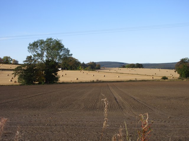
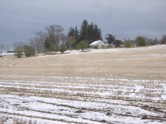
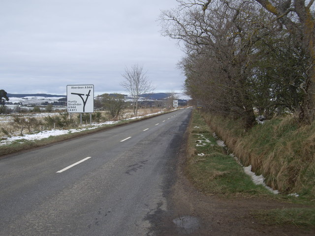
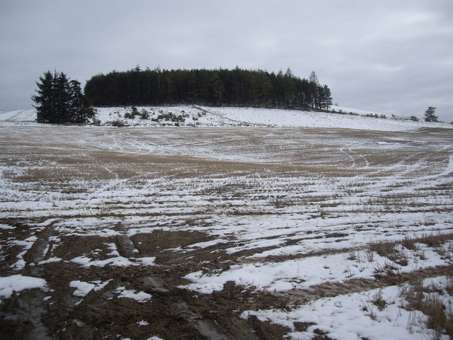
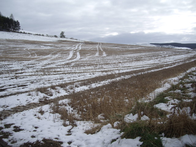
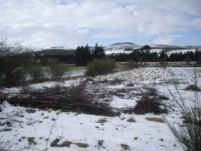
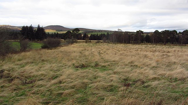
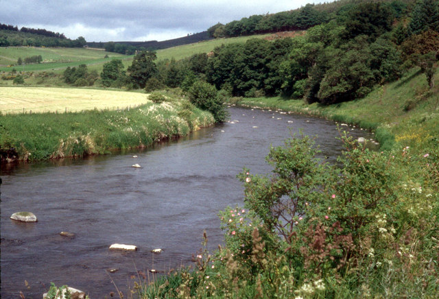
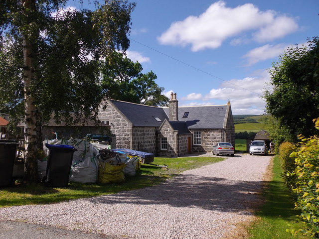
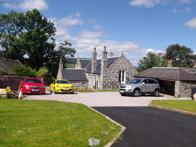
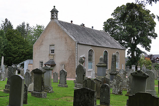
Breda Belts Images

Images are sourced within 2km of 57.236083/-2.7545919 or Grid Reference NJ5416. Thanks to Geograph Open Source API. All images are credited.

Baled fields Harvested and baled field to the south-west of Alford.
Baled fields
Harvested and baled field to the south-west of Alford.
Thomas Telford's Bridge at Bridge of Alford Built in 1811 at a cost of £2000, a 3 span masonry arch bridge by the engineer who was to become the first President of the Institution of Civil Engineers. The bridge was reconstructed in 1987, according to the plaque on the west parapet.
Thomas Telford's Bridge at Bridge of Alford
Built in 1811 at a cost of £2000, a 3 span masonry arch bridge by the engineer who was to become the first President of the Institution of Civil Engineers. The bridge was reconstructed in 1987, according to the plaque on the west parapet.
View towards Ardgathen From the A980.
View towards Ardgathen
From the A980.
A980 approaching Bridge of Alford slip road En route Lumphanan to Alford.
A980 approaching Bridge of Alford slip road
En route Lumphanan to Alford.
Gallow Hill wood Viewed from A980.
Gallow Hill wood
Viewed from A980.
Wheel tracks in a field near Gallow Hill Picked out by an overnight fall of snow.
Wheel tracks in a field near Gallow Hill
Picked out by an overnight fall of snow.
Drainage ditches in the Don Valley Viewed from the A980 below Gallow Hill.
Drainage ditches in the Don Valley
Viewed from the A980 below Gallow Hill.
Land out of production Grass which has not been grazed or cut recently.
Land out of production
Grass which has not been grazed or cut recently.
A bend in the River Don Several pairs of Sedge Warblers are selecting their territories this month
A bend in the River Don
Several pairs of Sedge Warblers are selecting their territories this month
Former Gallowhill School (1) The Alma Mater of the poet Charles 'Hamewith' Murray.
Former Gallowhill School (1)
The Alma Mater of the poet Charles 'Hamewith' Murray.
Former Gallowhill School (2) Converted to a dwelling house.
Former Gallowhill School (2)
Converted to a dwelling house.
Alford West Kirk and manse With a walled area containing six horizontal gravestones, each with an identical key motif. No further information/explanation to hand - help please.
Alford West Kirk and manse
With a walled area containing six horizontal gravestones, each with an identical key motif. No further information/explanation to hand - help please.
One of several Murray family graves in Alford West Kirkyard Relatives of Charles Murray ('Doric' poet) whose ashes were spread close by. See <span class="nowrap"><a title="http://humphrysfamilytree.com/Murray/poet.html" rel="nofollow ugc noopener" href="http://humphrysfamilytree.com/Murray/poet.html">Link</a><img style="margin-left:2px;" alt="External link" title="External link - shift click to open in new window" src="https://s1.geograph.org.uk/img/external.png" width="10" height="10"/></span> for a family tree.
One of several Murray family graves in Alford West Kirkyard
Relatives of Charles Murray ('Doric' poet) whose ashes were spread close by. See LinkExternal link for a family tree.
Re-configured junction with A980 For A944 to Bridge of Alford one must now turn right then left - the road used to be straight ahead here! First pass the sheep pen on the right.
Re-configured junction with A980
For A944 to Bridge of Alford one must now turn right then left - the road used to be straight ahead here! First pass the sheep pen on the right.
Downstream River Don from Bridge of Alford
Boat Pot, River Don A fishing beat below Bridge of Alford; viewed from Telford's 3-arch stone bridge of 1811. Waterside houses on left.
Boat Pot, River Don
A fishing beat below Bridge of Alford; viewed from Telford's 3-arch stone bridge of 1811. Waterside houses on left.
West Parish Church, Alford The church is by the A980 on the west side of Alford. A church was on this site in the 12th century but the present building was erected in the early 19th century. The church is closed and in private ownership. (Source: Places of worship in Scotland website)
West Parish Church, Alford
The church is by the A980 on the west side of Alford. A church was on this site in the 12th century but the present building was erected in the early 19th century. The church is closed and in private ownership. (Source: Places of worship in Scotland website)
A wall memorial at West Parish Church, Alford This magnificent symbolic memorial with an impressive skeleton is on the west gable of the church. Unfortunately the inscription panel has weathered badly over the years. A small slate-roofed open porch protects the memorial from the weather.
A wall memorial at West Parish Church, Alford
This magnificent symbolic memorial with an impressive skeleton is on the west gable of the church. Unfortunately the inscription panel has weathered badly over the years. A small slate-roofed open porch protects the memorial from the weather.
Show me another place!

Breda Belts is located at Grid Ref: NJ5416 (Lat: 57.236083, Lng: -2.7545919)

Unitary Authority: Aberdeenshire

Police Authority: North East

What 3 Words

///forkful.prefer.dust. Near Alford, Aberdeenshire

Nearby Locations

Breda Belts Laird's Pot

Related Wikis

Nearby Amenities

Located within 500m of 57.236083,-2.7545919
Breda
Place: isolated_dwelling
Lat/Long: 57.2385929/-2.7491721
Power: pole
Lat/Long: 57.2335495/-2.7609775
Power: pole
Lat/Long: 57.2342057/-2.7612236
Power: pole
Lat/Long: 57.2349196/-2.7616497
Power: pole
Lat/Long: 57.2355964/-2.7620911
Power: pole
Lat/Long: 57.2362361/-2.7621621
Power: pole
Lat/Long: 57.2368621/-2.7621875
Power: pole
Lat/Long: 57.237521/-2.7622737
Power: pole
Lat/Long: 57.2333375/-2.7490561
Power: pole
Lat/Long: 57.2337398/-2.7493551
Power: pole
Lat/Long: 57.2345987/-2.7498806
Power: pole
Lat/Long: 57.2345929/-2.7500066
Power: pole
Lat/Long: 57.2345224/-2.7521534
Power: pole
Lat/Long: 57.2344843/-2.7531189
Power: pole
Lat/Long: 57.2344415/-2.7543087
Power: pole
Lat/Long: 57.2344057/-2.755428
Power: pole
Lat/Long: 57.2342103/-2.7566135
Power: pole
Lat/Long: 57.2343987/-2.7574124
Power: pole
Lat/Long: 57.2343351/-2.7586748
Power: pole
Lat/Long: 57.2342692/-2.7599713
The data included in this document is from www.openstreetmap.org. The data is made available under ODbL.

Have you been to Breda Belts?

Leave your review of Breda Belts below (or comments, questions and feedback).