Drummonds-hall Plantation
Wood, Forest in Berwickshire
Scotland
Drummonds-hall Plantation
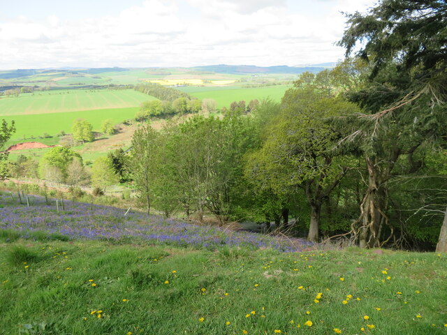
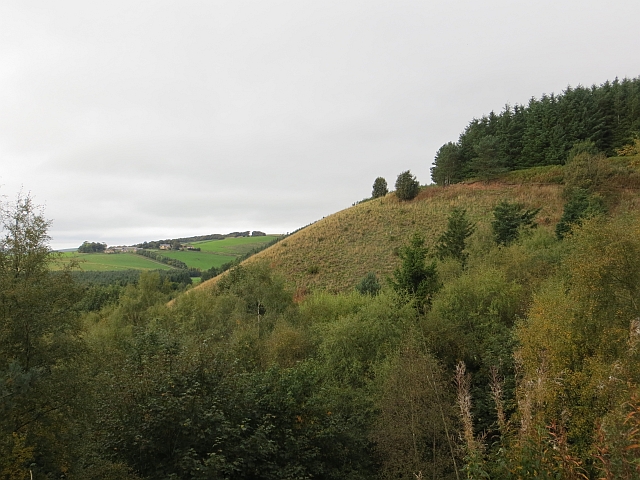
Drummonds-hall Plantation is a serene and picturesque woodland located in the heart of Berwickshire, Scotland. Covering an area of approximately 100 acres, this sprawling plantation is a haven for nature enthusiasts and outdoor lovers alike.
The plantation boasts a diverse range of tree species, including oak, ash, beech, and birch, creating a rich and vibrant ecosystem. The tall, majestic trees provide a dense canopy, allowing sunlight to filter through in dappled patterns, creating an enchanting atmosphere. The forest floor is adorned with lush green ferns, mosses, and wildflowers, adding to the enchanting beauty of the woodland.
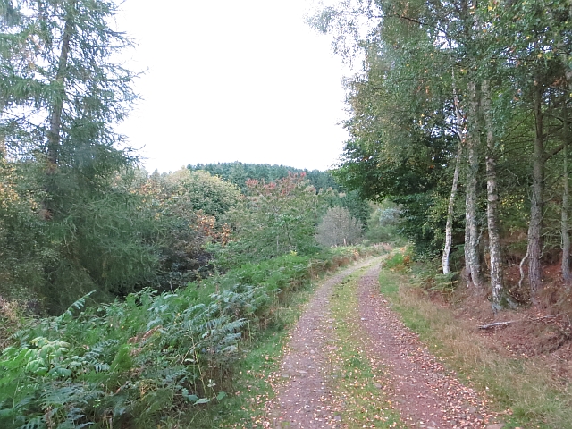
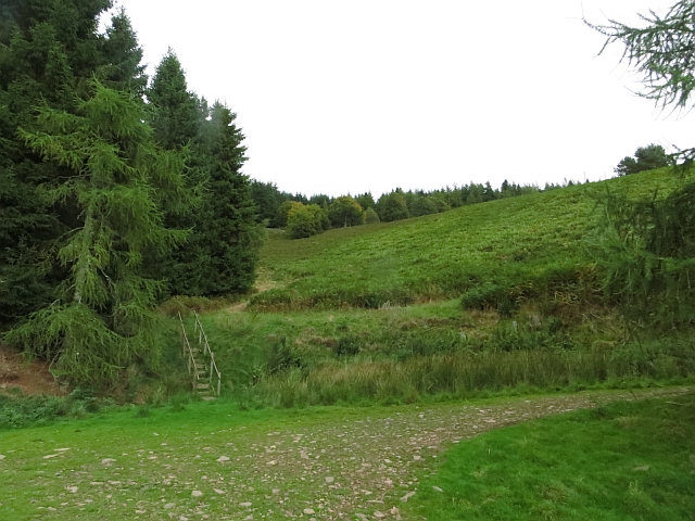
A network of well-maintained walking trails winds its way through the plantation, inviting visitors to explore and immerse themselves in the natural surroundings. These trails offer stunning views of the surrounding countryside, with glimpses of rolling hills and meandering streams.
Drummonds-hall Plantation is also home to a diverse array of wildlife. Birdwatchers will be delighted by the opportunity to spot various species, including woodpeckers, owls, and songbirds. Deer can often be spotted grazing in the early morning or at dusk, adding a touch of wilderness to the ambiance.
The plantation is open to the public year-round, offering a peaceful and tranquil escape from the hustle and bustle of everyday life. Whether it's a leisurely stroll, a picnic amidst nature, or a chance to reconnect with the great outdoors, Drummonds-hall Plantation promises a rejuvenating experience for all.
If you have any feedback on the listing, please let us know in the comments section below.
Drummonds-hall Plantation Images
Images are sourced within 2km of 55.727892/-2.7291973 or Grid Reference NT5448. Thanks to Geograph Open Source API. All images are credited.


![Pasture in Lauderdale Cattle at rest [ruminating]. Looking northeast towards the Lammermuir hills.](https://s3.geograph.org.uk/geophotos/07/22/04/7220411_0cc69f34.jpg)


![Wheat near Lauder Bridge A small field [4.7 ha], surrounded on all sides by trees.](https://s0.geograph.org.uk/geophotos/07/22/10/7221036_2811fef0.jpg)
![Wheat near Lauder Bridge A small field [4.7 ha], surrounded on all sides by trees.](https://s2.geograph.org.uk/geophotos/07/22/10/7221038_fec2d544.jpg)

![Road junction at High Cross The B6362 from Lauder and Thirlstane meets the main Carfraemill-Morpeth [A697] cross-border road.](https://s2.geograph.org.uk/geophotos/07/22/10/7221046_16efc9b5.jpg)
Drummonds-hall Plantation is located at Grid Ref: NT5448 (Lat: 55.727892, Lng: -2.7291973)
Unitary Authority: The Scottish Borders
Police Authority: The Lothians and Scottish Borders
What 3 Words
///comedy.braced.totally. Near Lauder, Scottish Borders
Nearby Locations
Related Wikis

Thirlestane Castle
Thirlestane Castle is a castle set in extensive parklands near Lauder in the Borders of Scotland. The site is aptly named Castle Hill, as it stands upon...

Lauderdale
Lauderdale is the valley of the Leader Water (a tributary of the Tweed) in the Scottish Borders. It contains the town of Lauder, as well as Earlston. The...

Lauder Town Hall
Lauder Town Hall is a municipal structure in the Market Place in Lauder, Scottish Borders, Scotland. The structure, which is used as the local registrar...

Lauder
The former Royal Burgh of Lauder (, Scottish Gaelic: Labhdar) is a town in the Scottish Borders in the historic county of Berwickshire. On the Southern...
Nearby Amenities
Located within 500m of 55.727892,-2.7291973Have you been to Drummonds-hall Plantation?
Leave your review of Drummonds-hall Plantation below (or comments, questions and feedback).