Battlehill Wood

Wood, Forest in Aberdeenshire

Scotland

Battlehill Wood

Huntly Signal Box Just outside Huntly, beside the line to Aberdeen.
Huntly Signal Box Credit: Anne Burgess

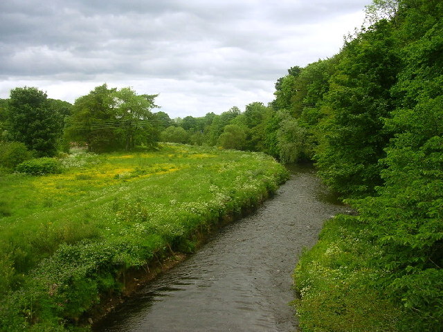
Battlehill Wood is a picturesque forest located in Aberdeenshire, Scotland. Covering an area of approximately 100 hectares, it is a popular destination for nature enthusiasts and outdoor enthusiasts alike. The wood is situated on a hill, providing visitors with stunning panoramic views of the surrounding countryside.

The woodland is predominantly made up of native broadleaf trees, including oak, birch, and rowan. These trees create a diverse and rich habitat for a wide range of wildlife species. Visitors can expect to spot various bird species such as woodpeckers, owls, and songbirds, as well as mammals like red squirrels and roe deer.

A network of well-maintained trails winds through Battlehill Wood, allowing visitors to explore the area at their own pace. These trails are suitable for walkers of all ages and abilities, with some paths being wheelchair accessible. Along the way, there are informative signs providing details about the flora and fauna found within the wood.

In addition to its natural beauty, Battlehill Wood also has historical significance. The wood was once the site of a fierce battle between two rival clans in the 17th century. Today, remnants of the battle can still be seen, including a stone memorial and a small burial ground.

Whether it is for a leisurely stroll, birdwatching, or simply to enjoy the tranquility of nature, Battlehill Wood offers a delightful escape from the hustle and bustle of everyday life.

If you have any feedback on the listing, please let us know in the comments section below.

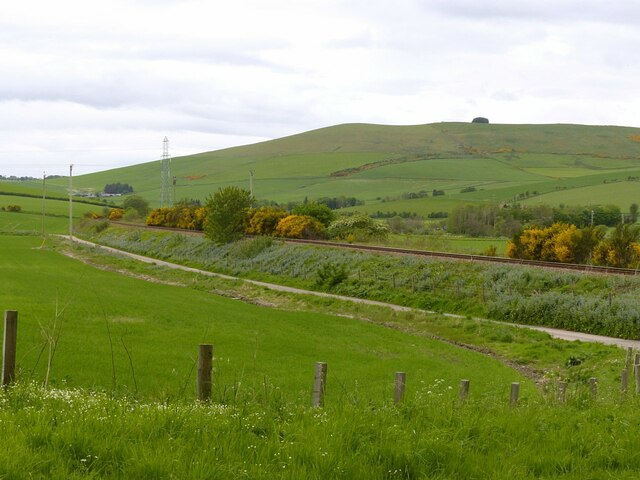
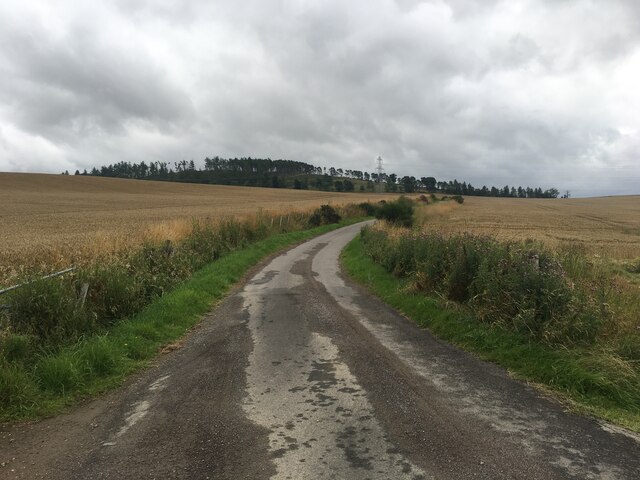
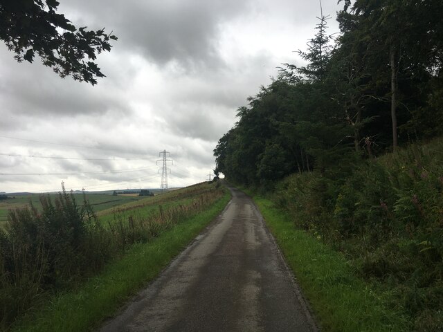
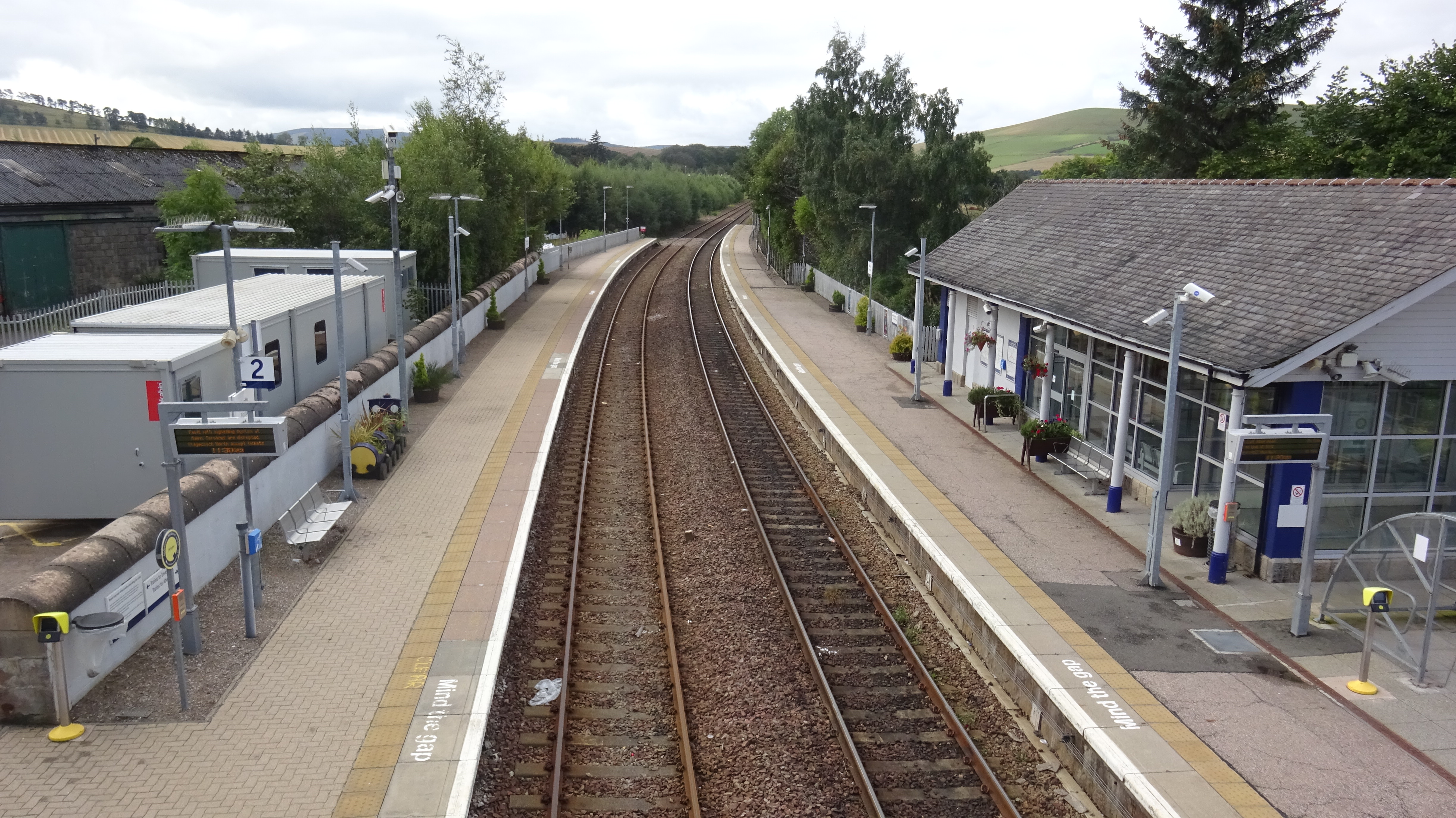
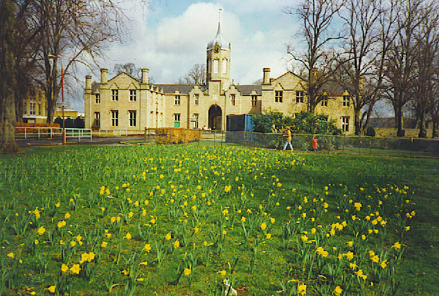
Battlehill Wood Images

Images are sourced within 2km of 57.446227/-2.7658466 or Grid Reference NJ5439. Thanks to Geograph Open Source API. All images are credited.

Huntly Signal Box Just outside Huntly, beside the line to Aberdeen.
Huntly Signal Box
Just outside Huntly, beside the line to Aberdeen.
Huntly Castle The main building from the south west. This was the third castle to be built on the site and dates from the late 15th century with remodelling in 1550 and further decorated in the early 17th century. Now a Scheduled Monument.
Huntly Castle
The main building from the south west. This was the third castle to be built on the site and dates from the late 15th century with remodelling in 1550 and further decorated in the early 17th century. Now a Scheduled Monument.
Playing fields near Huntly Castle Home to, among others, Huntly Rugby Football Club.
Playing fields near Huntly Castle
Home to, among others, Huntly Rugby Football Club.
Jake Forbes Close, Huntly To the left, barely visible, a group of houses built around 1800, Listed Category C.
On the right is 58 Bogie Street, dated 1793 although the looks are older and the Canmore entry indicates that title deeds date back to 1745/6. Listed Category B.
Jake Forbes Close, Huntly
To the left, barely visible, a group of houses built around 1800, Listed Category C. On the right is 58 Bogie Street, dated 1793 although the looks are older and the Canmore entry indicates that title deeds date back to 1745/6. Listed Category B.
Huntly Station – north end signals The station remained entirely mechanically signalled in 2022, except that the north loop points are electrically operated. A feature that probably dates from the singling of the line – it was formerly double track – is that both tracks through the station are signalled for use in both directions, unusual with mechanical signalling.
Huntly Station – north end signals
The station remained entirely mechanically signalled in 2022, except that the north loop points are electrically operated. A feature that probably dates from the singling of the line – it was formerly double track – is that both tracks through the station are signalled for use in both directions, unusual with mechanical signalling.
Huntly Station – south end signals and signal box The station remained entirely mechanically signalled in 2022. A feature that probably dates from the singling of the line – it was formerly double track – is that both tracks through the station are signalled for use in both directions, unusual with mechanical signalling.
Huntly Station – south end signals and signal box
The station remained entirely mechanically signalled in 2022. A feature that probably dates from the singling of the line – it was formerly double track – is that both tracks through the station are signalled for use in both directions, unusual with mechanical signalling.
Huntly Station – former goods shed Typical Great North of Scotland Railway building using the traditional stonework using rectangular blocks with small infill strips.
Huntly Station – former goods shed
Typical Great North of Scotland Railway building using the traditional stonework using rectangular blocks with small infill strips.
Huntly Station – looking towards Inverness Modern station building on the far platform.
Huntly Station – looking towards Inverness
Modern station building on the far platform.
Huntly signal box and home signals The station area signalling is almost entirely still mechanical. See also <a title="https://www.geograph.org.uk/photo/7195317" href="https://www.geograph.org.uk/photo/7195317">Link</a>
For a limited installation, there is a good deal of interest, with the bracketed signal post, shunting dolly (signal), twin speed restriction signs and a milepost outside the box.
The box is not listed but does have an entry in the Aberdeenshire Historical Environment Record, which dates it to the late 19th century. This refers to it as a 'gate box', i.e. not controlling the passage of trains between sections, being subordinate to a full section box at the station, but the latter has since disappeared, and the box has full signal box status again.
Huntly signal box and home signals
The station area signalling is almost entirely still mechanical. See also Link For a limited installation, there is a good deal of interest, with the bracketed signal post, shunting dolly (signal), twin speed restriction signs and a milepost outside the box. The box is not listed but does have an entry in the Aberdeenshire Historical Environment Record, which dates it to the late 19th century. This refers to it as a 'gate box', i.e. not controlling the passage of trains between sections, being subordinate to a full section box at the station, but the latter has since disappeared, and the box has full signal box status again.
Huntly signal box (detail) and milepost Close up of the point rodding and signal wires at a traditional mechanical signal box, by 2022 becoming increasingly rare. The milepost indicates a distance of 40 ½ miles from the start of the line at Aberdeen. Many railway companies indicated the quarter miles by dots or bars as being easier to spot from a moving train than numeric fractions.
Huntly signal box (detail) and milepost
Close up of the point rodding and signal wires at a traditional mechanical signal box, by 2022 becoming increasingly rare. The milepost indicates a distance of 40 ½ miles from the start of the line at Aberdeen. Many railway companies indicated the quarter miles by dots or bars as being easier to spot from a moving train than numeric fractions.
Railway line south of Huntly Looking south west at Upper Pirriesmill with the south-eastern ridge of Clashmach Hill on the skyline.
Railway line south of Huntly
Looking south west at Upper Pirriesmill with the south-eastern ridge of Clashmach Hill on the skyline.
Quiet sport on the Deveron
Road towards Bahill
Road towards Bahill
Road near Bahill Wood
Minor road towards Bahill
Hotel yard under renovation
Entrance to Battle woods
Gordon Street, Huntly
Show me another place!

Battlehill Wood is located at Grid Ref: NJ5439 (Lat: 57.446227, Lng: -2.7658466)

Unitary Authority: Aberdeenshire

Police Authority: North East

What 3 Words

///frozen.sprayer.quick. Near Huntly, Aberdeenshire

Nearby Locations

Battlehill Wood

Related Wikis

Nearby Amenities

Located within 500m of 57.446227,-2.7658466
Power: pole
Lat/Long: 57.4424969/-2.7623941
Power: pole
Lat/Long: 57.4425784/-2.7633148
Power: pole
Lat/Long: 57.4422358/-2.7638536
Power: pole
Lat/Long: 57.4418746/-2.7644481
Thorniebrae
Place: isolated_dwelling
Lat/Long: 57.4425755/-2.7612536
Pirriesmill
Place: hamlet
Lat/Long: 57.4483718/-2.7728408
The data included in this document is from www.openstreetmap.org. The data is made available under ODbL.

Have you been to Battlehill Wood?

Leave your review of Battlehill Wood below (or comments, questions and feedback).