Holy Dean

Wood, Forest in Roxburghshire

Scotland

Holy Dean

Winter farmland near Bowden This early morning view with a touch of frost on the ground was taken from the B6359.
Winter farmland near Bowden Credit: Walter Baxter

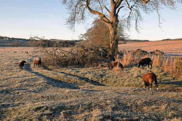
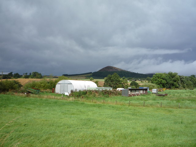
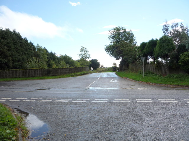
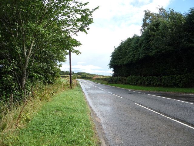
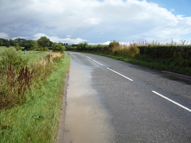
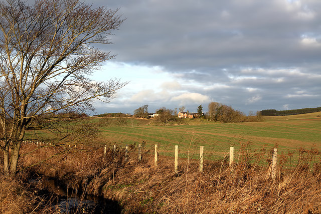
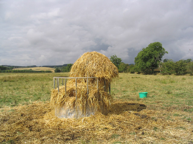
Holy Dean is a small village located in the region of Roxburghshire, Scotland. Nestled amidst a picturesque landscape, it is known for its abundant woodlands and forests, making it an ideal destination for nature enthusiasts and outdoor lovers.

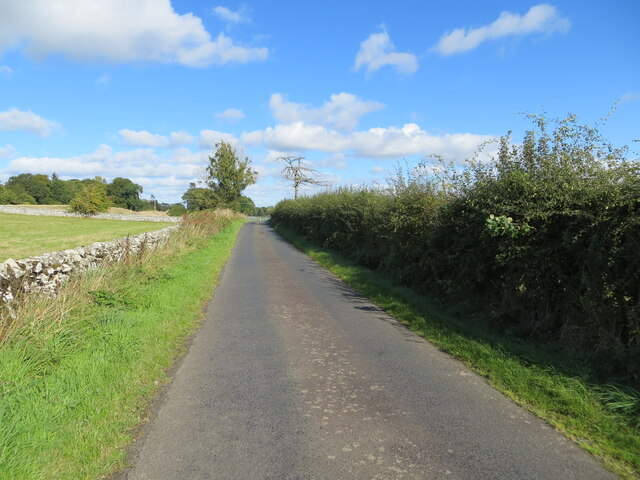
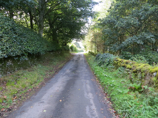
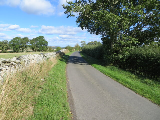
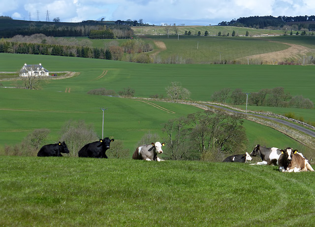
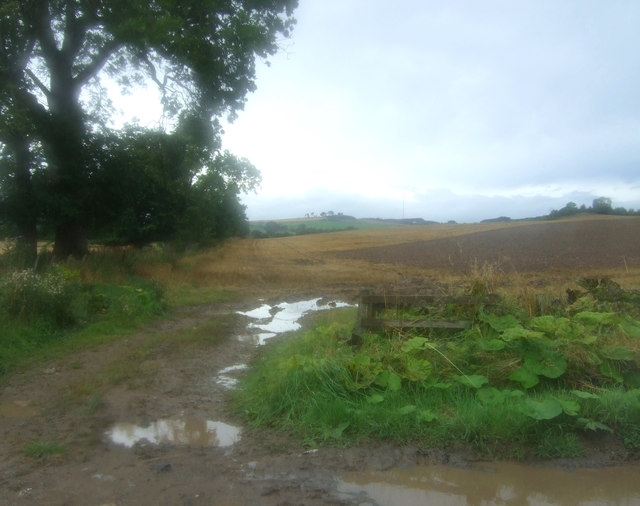
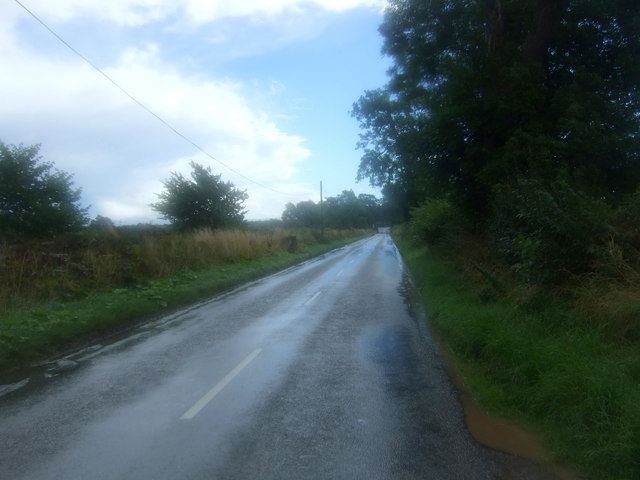
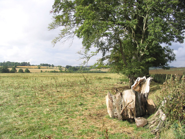
The village is surrounded by a diverse range of trees, including oak, beech, and pine, creating a rich and vibrant ecosystem. The woodlands offer a serene atmosphere, with well-maintained trails that meander through the trees, providing opportunities for peaceful walks and hikes. The enchanting forest also serves as a habitat for various wildlife, such as deer, foxes, and a wide variety of bird species, making it a haven for nature photographers and birdwatchers.

Holy Dean is home to several recreational activities centered around its natural surroundings. The village boasts a well-equipped visitor center, providing information and guidance for visitors interested in exploring the woodlands. Additionally, there are designated picnic areas where families and friends can enjoy a leisurely day out, surrounded by the beauty of nature.

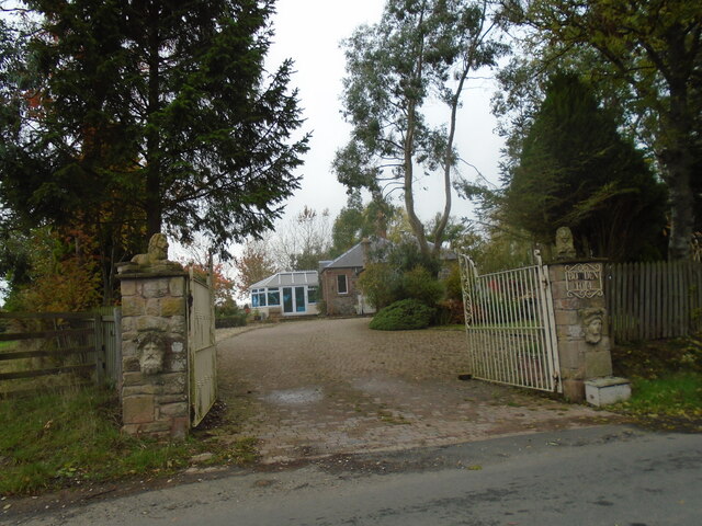
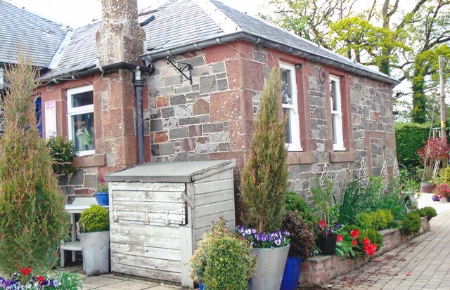
The village itself exudes a quaint charm, with traditional stone cottages and a close-knit community. It offers a few local amenities, including a small shop and a cozy tearoom, where visitors can sample locally produced goods.

With its idyllic setting and abundant natural beauty, Holy Dean, Roxburghshire is a destination that offers a peaceful retreat for those seeking solace in the midst of nature.

If you have any feedback on the listing, please let us know in the comments section below.

Holy Dean Images

Images are sourced within 2km of 55.563667/-2.7408019 or Grid Reference NT5330. Thanks to Geograph Open Source API. All images are credited.

Winter farmland near Bowden This early morning view with a touch of frost on the ground was taken from the B6359.
Winter farmland near Bowden
This early morning view with a touch of frost on the ground was taken from the B6359.
A frosted spider’s web The web was on a metal gate to this field <a href="https://www.geograph.org.uk/photo/7052191">NT5429 : Winter farmland near Bowden</a>.
A frosted spider’s web
The web was on a metal gate to this field NT5429 : Winter farmland near Bowden.
Hedge and wall enclosed minor road between Midlem and Eastfield Looking north-eastward.
Hedge and wall enclosed minor road between Midlem and Eastfield
Looking north-eastward.
Wall and tree enclosed minor road near Eastfield Looking south-westward.
Wall and tree enclosed minor road near Eastfield
Looking south-westward.
Minor road near to Eastfield Looking north-eastward.
Minor road near to Eastfield
Looking north-eastward.
Old toll house The entrance to the old tollhouse, Bowden Toll.
Old toll house
The entrance to the old tollhouse, Bowden Toll.
A winter road accident The roads were hazardous in the morning after overnight snow and the driver of this vehicle had the misfortune to leave the A699 road between St Boswells and Selkirk. When I took this photo in the afternoon the road conditions had improved considerably.
A winter road accident
The roads were hazardous in the morning after overnight snow and the driver of this vehicle had the misfortune to leave the A699 road between St Boswells and Selkirk. When I took this photo in the afternoon the road conditions had improved considerably.
Farmland at Eastfield The livestock in the field was viewed from a minor road to Midlem.
Farmland at Eastfield
The livestock in the field was viewed from a minor road to Midlem.
Farm buildings, Bowden View towards the Eildon Hills.
Just after a heavy downpour.
Farm buildings, Bowden
View towards the Eildon Hills. Just after a heavy downpour.
Road junction near Hillview The B6359 meets the A699.
Road junction near Hillview
The B6359 meets the A699.
A699 towards Kelso Looking north east.
A699 towards Kelso
Looking north east.
Water beside the A699 Just after a heavy downpour.
Water beside the A699
Just after a heavy downpour.
Field entrance off the B6359
Looking south east on the B6359
Farmland at Bowden Faughhill Farm is in the background.
Farmland at Bowden
Faughhill Farm is in the background.
Former tollhouse Surveyed by the Milestone Society.   On the A699, Selkirk to Kelso, cross roads with the B6359, Hawick to Melrose, at the south west corner.   Known as Bowden Stand Dam, a George Brown was the toll keeper sometime in the mid 1800s.  He was an ancestor of the photographer. This picture shows the blocked up hatch where the tolls were taken.
Former tollhouse
Surveyed by the Milestone Society. On the A699, Selkirk to Kelso, cross roads with the B6359, Hawick to Melrose, at the south west corner. Known as Bowden Stand Dam, a George Brown was the toll keeper sometime in the mid 1800s. He was an ancestor of the photographer. This picture shows the blocked up hatch where the tolls were taken.
Pasture Field and Trees
Cattle Feeding Station
Show me another place!

Holy Dean is located at Grid Ref: NT5330 (Lat: 55.563667, Lng: -2.7408019)

Unitary Authority: The Scottish Borders

Police Authority: The Lothians and Scottish Borders

What 3 Words

///overture.violin.music. Near Melrose, Scottish Borders

Nearby Locations

Holy Dean

Related Wikis

Castle Holydean

Holydean Castle (pronounced "hollydeen") was a castle sited near Melrose in Bowden, 1.25 miles SW of the village, in the Scottish Borders region of Scotland...

Bowden, Scottish Borders

Bowden is a village in the Roxburghshire area of the Scottish Borders, situated 3 miles (5 kilometres) south of Melrose, 2 miles (3 kilometres) west of...

Eildon Hill

Eildon Hill lies just south of Melrose, Scotland in the Scottish Borders, overlooking the town. The name is usually pluralised into "the Eildons" or "Eildon...
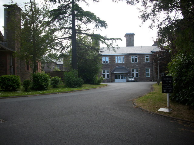
Dingleton Hospital

Dingleton Hospital was a mental health facility in Melrose, Scotland. The former boiler house is a Category B listed building. == History == The hospital...

Nearby Amenities

Located within 500m of 55.563667,-2.7408019
Holydean
Place: hamlet
Lat/Long: 55.5632834/-2.7356218
Power: tower
Lat/Long: 55.5670525/-2.7430509
Power: tower
Lat/Long: 55.5650989/-2.7440798
Power: tower
Lat/Long: 55.5623673/-2.7455185
Power: pole
Lat/Long: 55.5649938/-2.7337584
Power: pole
Lat/Long: 55.5645949/-2.7344906
Power: pole
Lat/Long: 55.5638232/-2.736054
Power: pole
Lat/Long: 55.5632051/-2.7372095
Power: pole
Lat/Long: 55.5622472/-2.7354852
Power: pole
Lat/Long: 55.5626833/-2.7362538
Power: pole
Lat/Long: 55.563236/-2.737791
Power: pole
Lat/Long: 55.5633224/-2.739425
Power: pole
Lat/Long: 55.5633396/-2.7405397
Power: pole
Lat/Long: 55.5633483/-2.7417333
Power: pole
Lat/Long: 55.5633569/-2.742927
Power: pole
Lat/Long: 55.5633727/-2.7441028
Power: pole
Lat/Long: 55.5635224/-2.7455357
Power: pole
Lat/Long: 55.5633267/-2.7468999
Power: pole
Lat/Long: 55.5631209/-2.7482691
The data included in this document is from www.openstreetmap.org. The data is made available under ODbL.

Have you been to Holy Dean?

Leave your review of Holy Dean below (or comments, questions and feedback).