Cooksmoss Plantation
Wood, Forest in Roxburghshire
Scotland
Cooksmoss Plantation
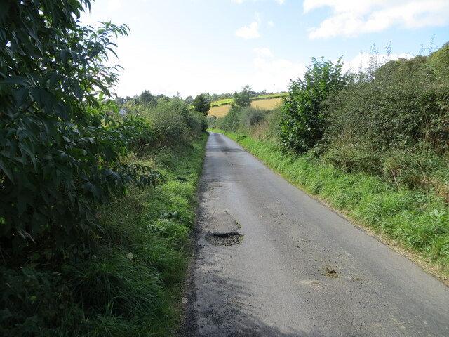
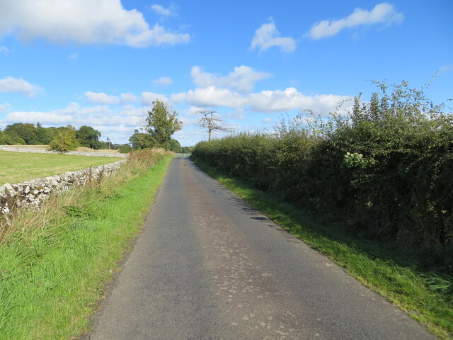
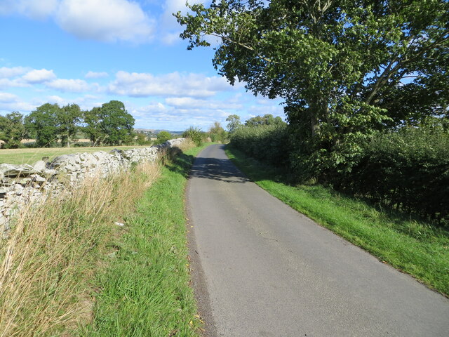
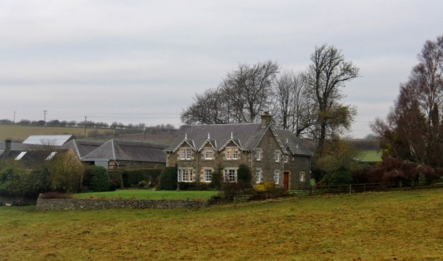
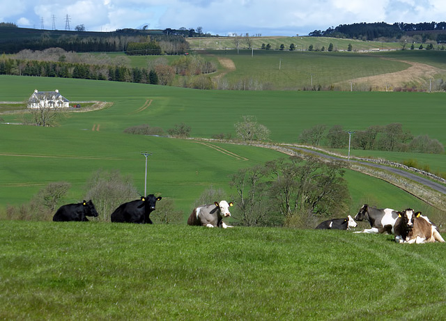
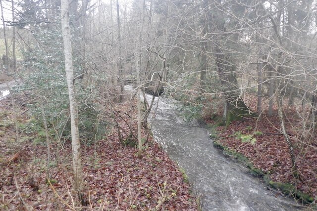
Cooksmoss Plantation is a sprawling wood located in the picturesque region of Roxburghshire, Scotland. Covering an area of approximately 180 hectares, the plantation is a significant forested area in the region. The woodland is situated on gently sloping terrain and is surrounded by open fields and farmland, adding to its scenic beauty.
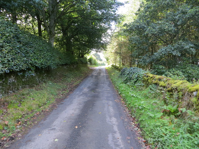
The plantation is primarily composed of native tree species, including oak, birch, and beech, which provide a rich and diverse habitat for various flora and fauna. The dense canopy formed by these trees creates a cool and tranquil atmosphere, making it an ideal destination for nature enthusiasts and hikers.
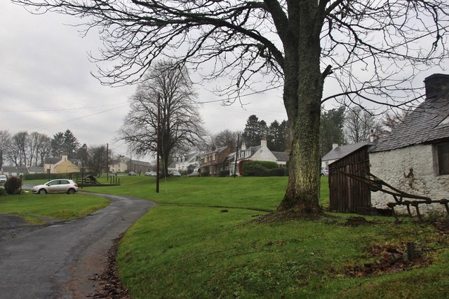
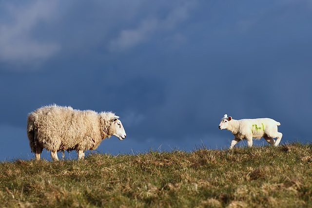
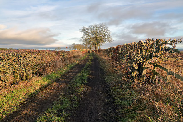
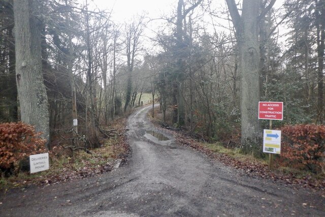
A network of well-maintained trails meander through Cooksmoss Plantation, allowing visitors to explore the vast woodland and admire its natural wonders. These trails offer stunning views of the surrounding landscape and provide opportunities for wildlife spotting, including deer, foxes, and a variety of bird species.
Additionally, Cooksmoss Plantation is actively managed for sustainable forestry practices. Periodic tree thinning and selective logging are carried out to maintain a healthy and balanced ecosystem. These practices also contribute to the local economy by providing a sustainable source of timber.
Overall, Cooksmoss Plantation is a captivating wood in Roxburghshire, offering visitors a chance to immerse themselves in the beauty of nature and experience the tranquility of a well-preserved forest environment.
If you have any feedback on the listing, please let us know in the comments section below.
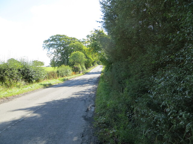
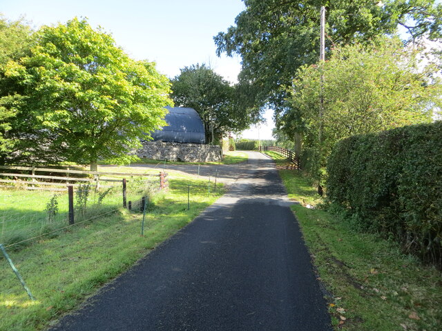
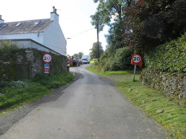
Cooksmoss Plantation Images
Images are sourced within 2km of 55.544279/-2.7432898 or Grid Reference NT5328. Thanks to Geograph Open Source API. All images are credited.

Cooksmoss Plantation is located at Grid Ref: NT5328 (Lat: 55.544279, Lng: -2.7432898)
Unitary Authority: The Scottish Borders
Police Authority: The Lothians and Scottish Borders
What 3 Words
///kindest.fork.drummers. Near Selkirk, Scottish Borders
Nearby Locations
Related Wikis

Lothian and Borders
Lothian and Borders is an area in Scotland consisting of the East Lothian, City of Edinburgh, Midlothian, West Lothian council areas (collectively known...
Castle Holydean
Holydean Castle (pronounced "hollydeen") was a castle sited near Melrose in Bowden, 1.25 miles SW of the village, in the Scottish Borders region of Scotland...

Lilliesleaf
Lilliesleaf is a small village and civil parish 7 miles (11 km) south east of Selkirk in the Roxburghshire area of Scottish Borders of Scotland. Other...

Bowden, Scottish Borders
Bowden is a village in the Roxburghshire area of the Scottish Borders, situated 3 miles (5 kilometres) south of Melrose, 2 miles (3 kilometres) west of...
Selkirk transmitting station
The Selkirk transmitting station is a telecommunications facility located next to Lindean Loch, near Selkirk in the Scottish Borders. It includes a 229...

Lindean
Lindean is a village north of Selkirk and the Ettrick Water, in the Scottish Borders area of Scotland. In 1590 the parishioners of Lindean had permission...

Eildon Hill
Eildon Hill lies just south of Melrose, Scotland in the Scottish Borders, overlooking the town. The name is usually pluralised into "the Eildons" or "Eildon...

Charlesfield Halt railway station
Charlesfield Halt railway station served the village of Charlesfield, Melrose, Scotland, from 1942 to 1961 on the Waverley Route. == History == The station...
Have you been to Cooksmoss Plantation?
Leave your review of Cooksmoss Plantation below (or comments, questions and feedback).