Central
Settlement in Renfrewshire
Scotland
Central
Central, Renfrewshire is a small town located in the historic county of Renfrewshire in Scotland. Situated in the west-central part of the country, Central is nestled between the larger towns of Paisley and Johnstone. The town covers an area of approximately 2 square miles and has a population of around 5,000 residents.
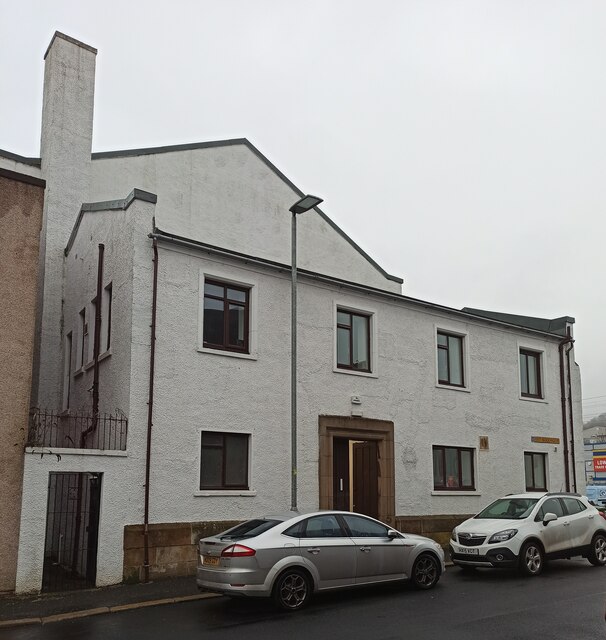
Central is known for its rich history and charming atmosphere. The town's origins can be traced back to medieval times, and it still retains many of its original character features. The architecture in Central is predominantly traditional, with a mix of Victorian and Georgian buildings lining its streets.
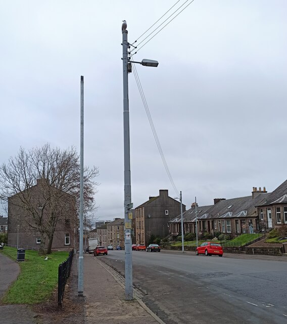
The town is well-connected, with excellent transport links. The M8 motorway runs close by, providing easy access to Glasgow, which is only a short drive away. Central is also served by a train station, offering regular services to Glasgow and other nearby towns.
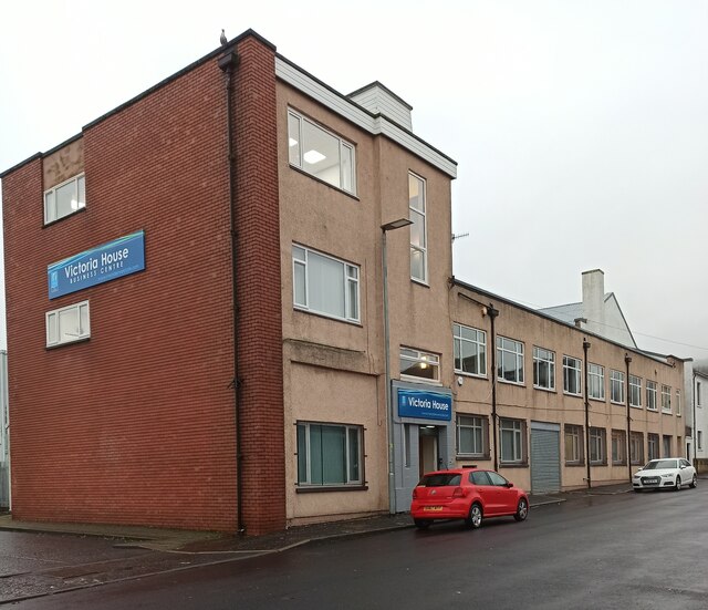
Despite its small size, Central boasts a number of amenities and facilities for its residents. There are several local shops, cafes, and restaurants, providing a range of services and options for shopping and dining. The town also has a primary school and a community center, which hosts various activities and events throughout the year.
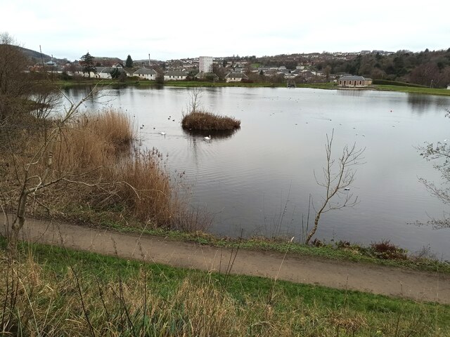
Central is surrounded by beautiful countryside, making it an ideal location for outdoor enthusiasts. There are several parks and green spaces nearby, offering opportunities for walking, cycling, and picnicking. Additionally, the town is a short distance from the Clyde Muirshiel Regional Park, which provides further recreational activities such as hiking, fishing, and wildlife spotting.
In conclusion, Central, Renfrewshire is a picturesque town with a rich history, convenient location, and a range of amenities. Its close proximity to larger towns and beautiful countryside make it an attractive place to live or visit.
If you have any feedback on the listing, please let us know in the comments section below.
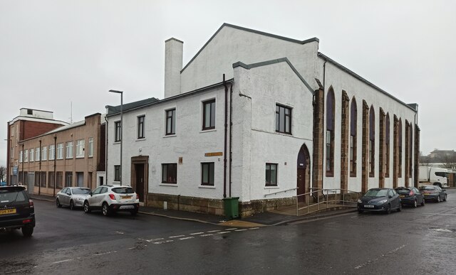
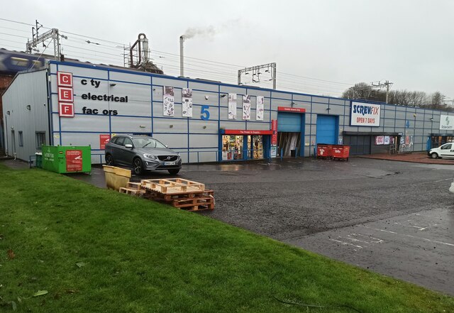
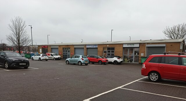
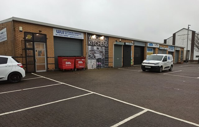
Central Images
Images are sourced within 2km of 55.944942/-4.7715225 or Grid Reference NS2775. Thanks to Geograph Open Source API. All images are credited.


Central is located at Grid Ref: NS2775 (Lat: 55.944942, Lng: -4.7715225)
Unitary Authority: Inverclyde
Police Authority: Renfrewshire and Inverclyde
What 3 Words
///lasted.crass.mouse. Near Greenock, Inverclyde
Nearby Locations
Related Wikis
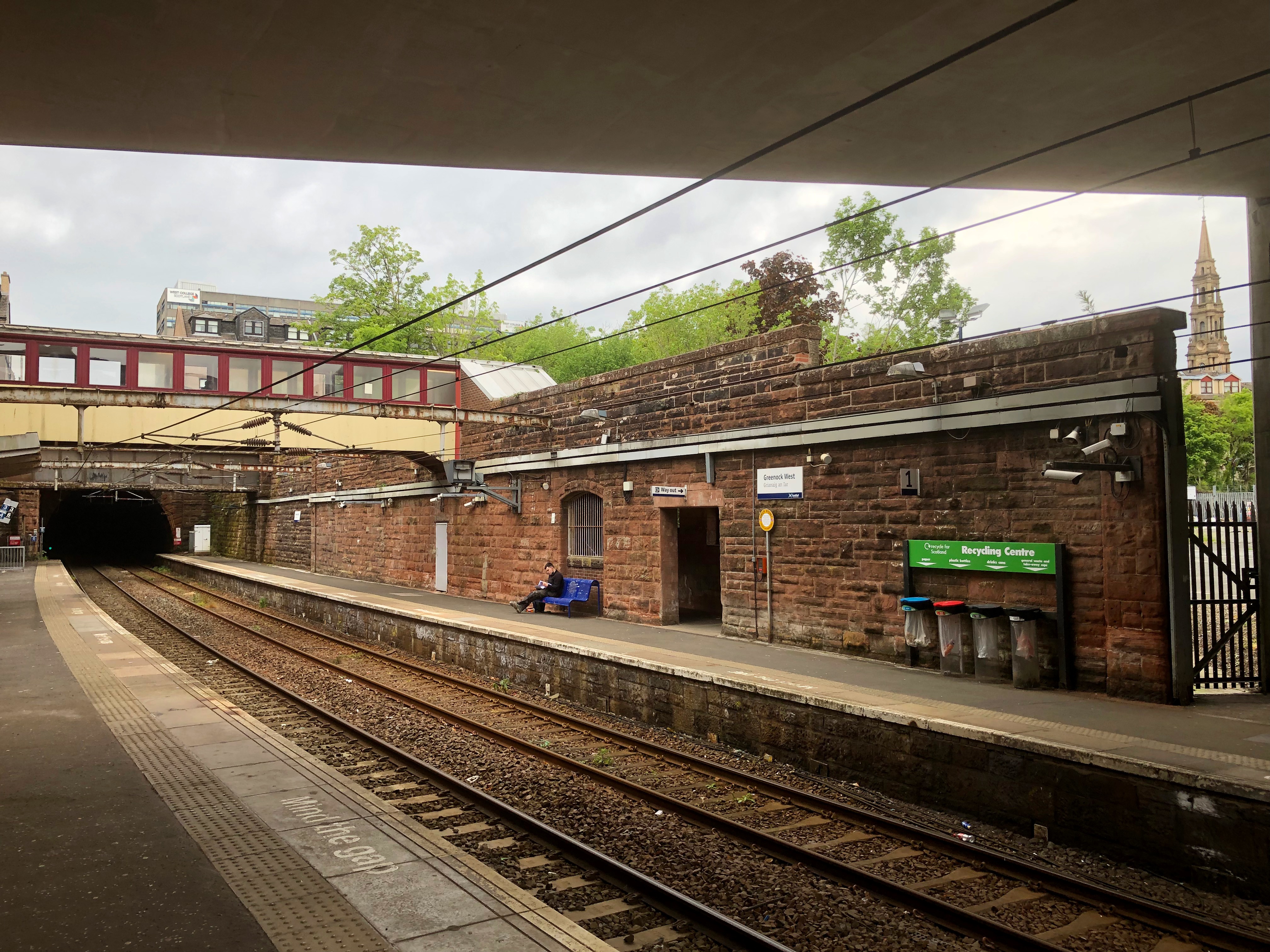
Greenock West railway station
Greenock West railway station is a station in Greenock, Scotland, located on the Inverclyde Line which runs from Gourock to Glasgow Central. The route...
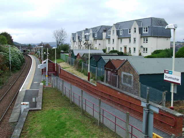
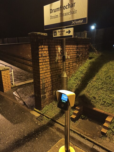
Drumfrochar railway station
Drumfrochar railway station is a railway station located in a residential district in the south-western part of Greenock, Scotland. The station is managed...

Greenock rail crash
On 25 June 1994, the 22:45 from Wemyss Bay to Glasgow, in Scotland, derailed and smashed into a bridge after hitting concrete blocks placed deliberately...

Greenock Royal Infirmary
Greenock Royal Infirmary was a health facility in Greenock, Scotland. Its original Hospital or Infirmary of 1809 stood in Inverkip Street, it was subsequently...
Nearby Amenities
Located within 500m of 55.944942,-4.7715225Have you been to Central?
Leave your review of Central below (or comments, questions and feedback).