Lochlair Plantation
Wood, Forest in Angus
Scotland
Lochlair Plantation

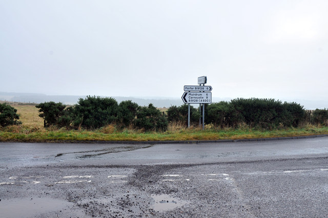
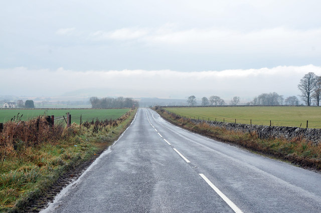
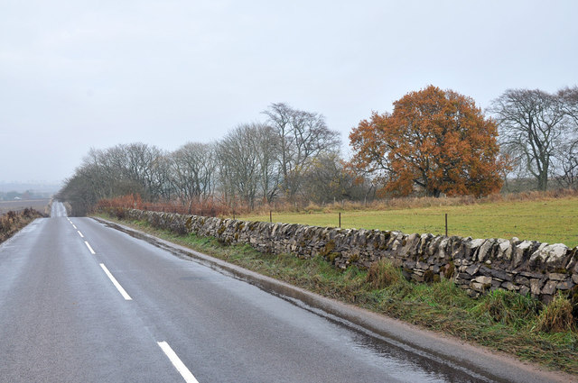
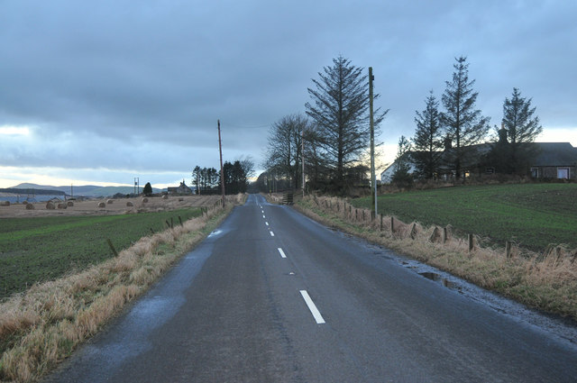
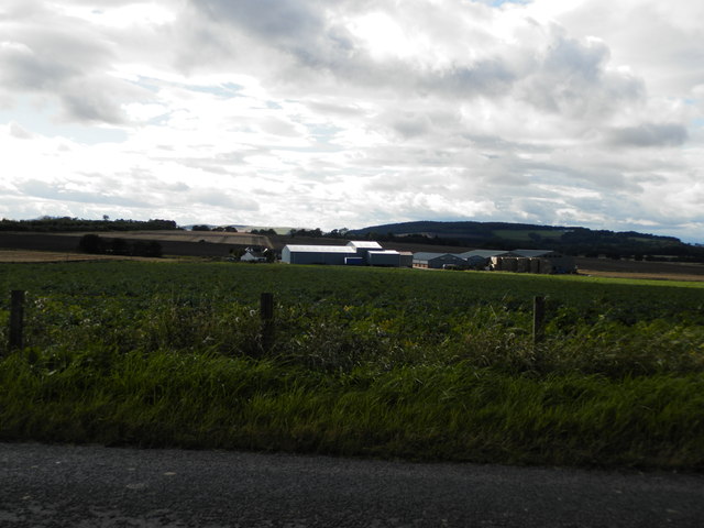
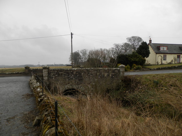
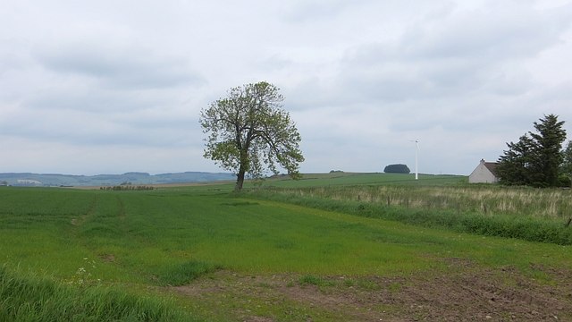
Lochlair Plantation, located in Angus, Scotland, is a picturesque woodland area spread over acres of lush greenery. The plantation is renowned for its diverse range of trees, making it a captivating destination for nature lovers and botanists alike.
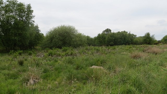
The woodland is dominated by a mix of native and non-native tree species, such as oak, beech, pine, and birch, creating a harmonious and visually appealing environment. The plantation is meticulously maintained, ensuring the preservation of its natural beauty and the thriving of its flora and fauna.
Lochlair Plantation offers a tranquil and serene atmosphere, making it an ideal spot for leisurely walks, bird watching, and photography. Visitors are greeted with an enchanting landscape of rolling hills, meandering pathways, and a sparkling loch that adds to the plantation's charm.
The plantation also serves as an important habitat for various wildlife species. Bird enthusiasts have the opportunity to spot a wide array of avian species, including woodpeckers, owls, and a variety of songbirds. In addition, the plantation is home to small mammals such as rabbits, squirrels, and voles.
For those interested in the history of the land, Lochlair Plantation has a rich cultural heritage, with remnants of ancient settlements and historical landmarks scattered throughout. The plantation provides a unique opportunity to explore the region's past while enjoying the beauty of nature.
Overall, Lochlair Plantation in Angus offers a captivating and immersive experience for nature enthusiasts, history buffs, and those seeking solace in the midst of a picturesque woodland setting.
If you have any feedback on the listing, please let us know in the comments section below.
Lochlair Plantation Images
Images are sourced within 2km of 56.590449/-2.7758358 or Grid Reference NO5244. Thanks to Geograph Open Source API. All images are credited.


Lochlair Plantation is located at Grid Ref: NO5244 (Lat: 56.590449, Lng: -2.7758358)
Unitary Authority: Angus
Police Authority: Tayside
What 3 Words
///conductor.closets.manuals. Near Letham, Angus
Nearby Locations
Related Wikis
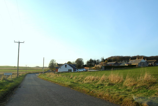
Greystone, Angus
Greystone is a hamlet in Angus, Scotland. It lies between the towns of Carnoustie and Forfar in the parish of Carmyllie. == References ==

Kirkbuddo
Kirkbuddo (Scots pronunciation: [ˌkərˈbʌdə]; Scottish Gaelic: Cair Bhuite) is a village in the county of Angus, Scotland, between the towns of Forfar and...

Kirkbuddo railway station
Kirkbuddo railway station served the village of Kirkbuddo, Angus, Scotland, from 1870 to 1955 on the Dundee and Forfar direct line. == History == The station...

Carnegie Castle
Carnegie Castle was a castle that was located in Angus, Scotland. The Carnegies owned the property between the 15th-18th century. The site of the castle...
Nearby Amenities
Located within 500m of 56.590449,-2.7758358Have you been to Lochlair Plantation?
Leave your review of Lochlair Plantation below (or comments, questions and feedback).