Coe Wood
Wood, Forest in Angus
Scotland
Coe Wood
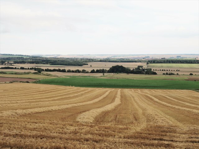
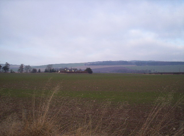
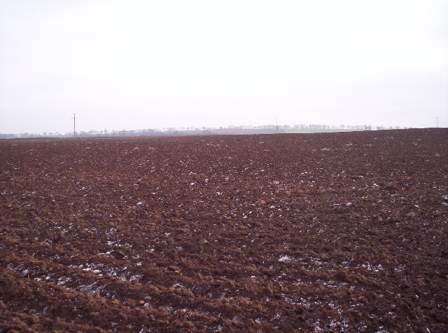
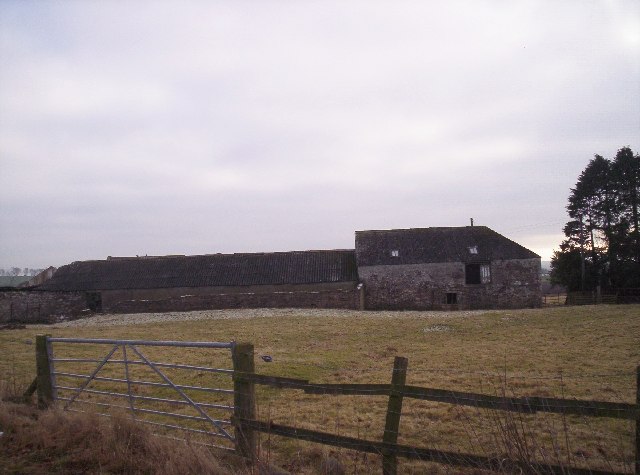
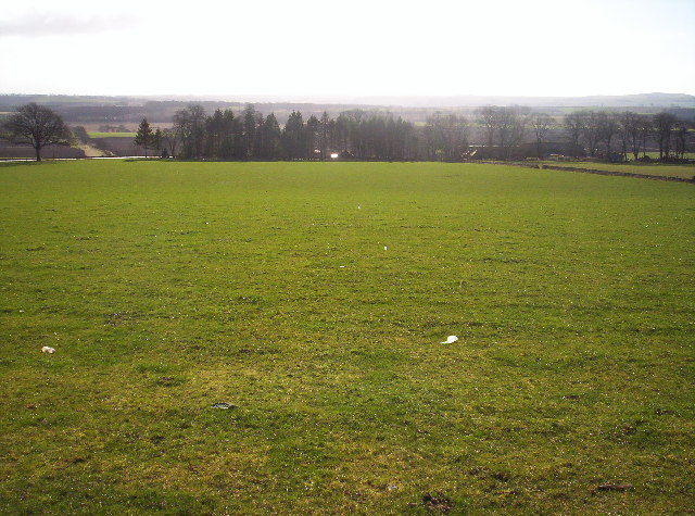
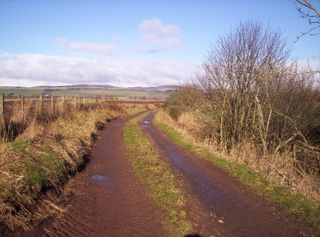
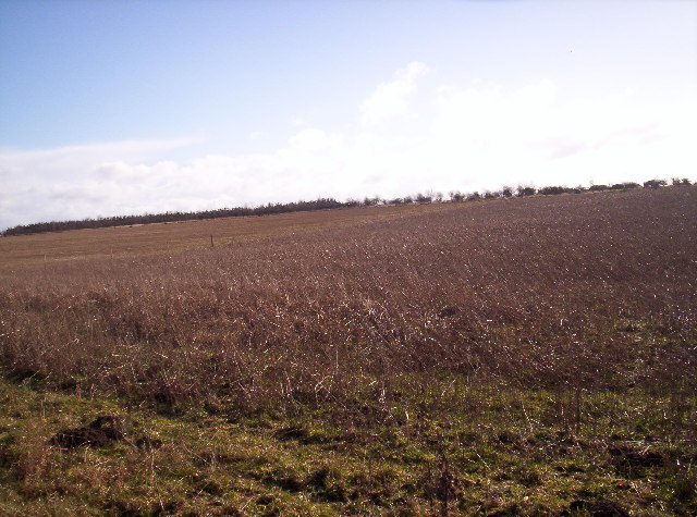
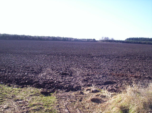
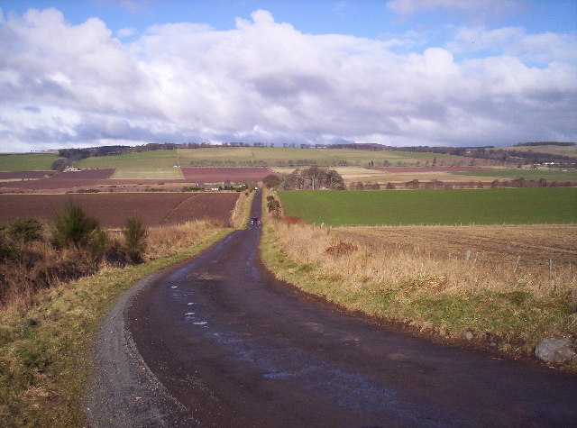
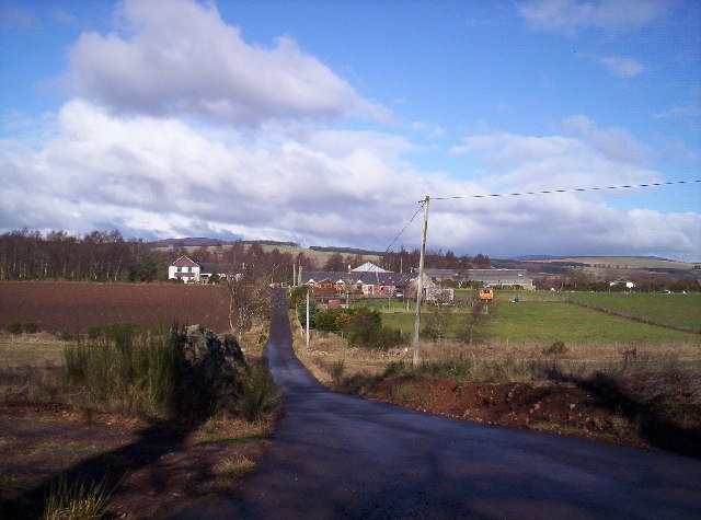
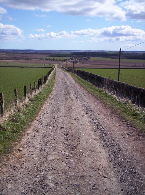
Coe Wood, Angus is a picturesque forest located in the county of Angus, Scotland. Covering an area of approximately 100 hectares (247 acres), it is renowned for its natural beauty and diverse flora and fauna. The forest is situated near the village of Coe and is a popular destination for nature lovers and outdoor enthusiasts.
Coe Wood is characterized by its dense canopy of trees, primarily consisting of native species such as oak, birch, and beech. The forest floor is covered in a thick layer of moss and ferns, creating a lush and vibrant undergrowth. Walking trails wind their way through the wood, offering visitors a chance to explore and immerse themselves in its tranquil ambiance.
The wood is home to a variety of wildlife, including deer, squirrels, and numerous bird species. Birdwatchers can spot woodpeckers, owls, and thrushes among the treetops. The forest's peaceful atmosphere also attracts a range of other small creatures, such as rabbits and hedgehogs.
In addition to its natural beauty, Coe Wood offers recreational activities for visitors. There are designated picnic areas with benches for those looking to enjoy a leisurely outdoor meal. The forest is also a popular spot for camping, with designated camping areas and facilities available.
Coe Wood, Angus provides a serene escape from the hustle and bustle of everyday life. Its stunning landscapes, diverse wildlife, and recreational offerings make it a perfect destination for nature lovers and those seeking a peaceful retreat in the heart of Scotland.
If you have any feedback on the listing, please let us know in the comments section below.
Coe Wood Images
Images are sourced within 2km of 56.75144/-2.7805588 or Grid Reference NO5262. Thanks to Geograph Open Source API. All images are credited.


Coe Wood is located at Grid Ref: NO5262 (Lat: 56.75144, Lng: -2.7805588)
Unitary Authority: Angus
Police Authority: Tayside
What 3 Words
///tailors.wires.compliant. Near Brechin, Angus
Nearby Locations
Related Wikis

Careston railway station
Careston railway station served the hamlet of Careston, Angus, Scotland, from 1895 to 1964 on the Forfar and Brechin Railway. == History == The station...

Menmuir
Menmuir is a parish in the county of Angus in Scotland. Kirkton of Menmuir consists of only three houses (the Old Schoolhouse, the Manse, the Old Inn)...
Careston
Careston is a hamlet in Angus, Scotland that is in the parish of the same name, 5 miles west of Brechin. The parish and hamlet supposedly took their name...

Careston Castle
Careston Castle, also known as Caraldston Castle, is an L-plan tower house dating from the 16th century, on a 1,528-acre estate, in Careston parish, Angus...

Caterthun
Caterthun, or the Caterthuns, is a ridge of hills near the city of Brechin in Angus, Scotland. The Caterthuns are notable for being the site of two Iron...

Tannadice railway station
Tannadice railway station served the village of Tannadice, Angus, Scotland, from 1895 to 1952 on the Forfar and Brechin Railway. == History == The station...

Noranside
Noranside is a hamlet in Angus, Scotland, located at 56° 44' 0" North, 2° 52' 0" West,. The prison HMP Noranside was operated there from 1966 to 2011....
Finavon
Finavon is a small settlement in Angus, Scotland. Its Ordnance Survey grid reference is NO4957. == References ==
Nearby Amenities
Located within 500m of 56.75144,-2.7805588Have you been to Coe Wood?
Leave your review of Coe Wood below (or comments, questions and feedback).