Hangerhope Plantation

Wood, Forest in Roxburghshire

Scotland

Hangerhope Plantation

Grazing, Kirkton
Grazing, Kirkton Credit: JThomas

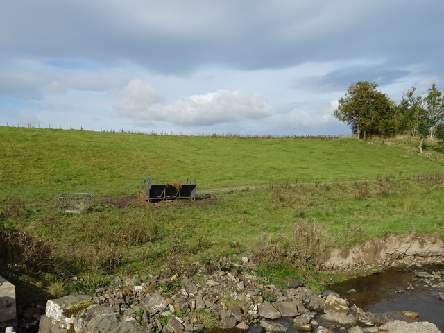
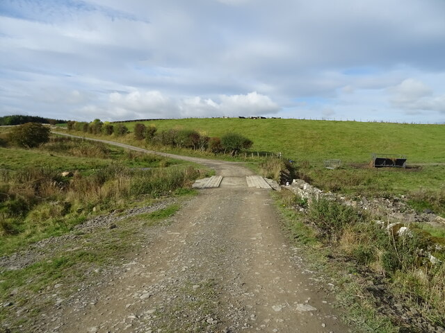
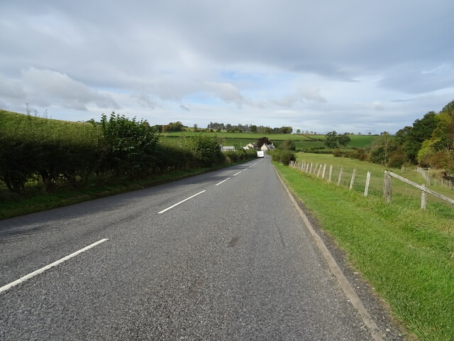
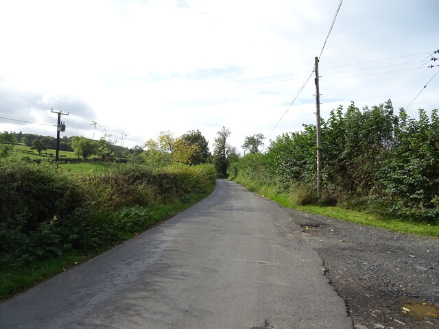
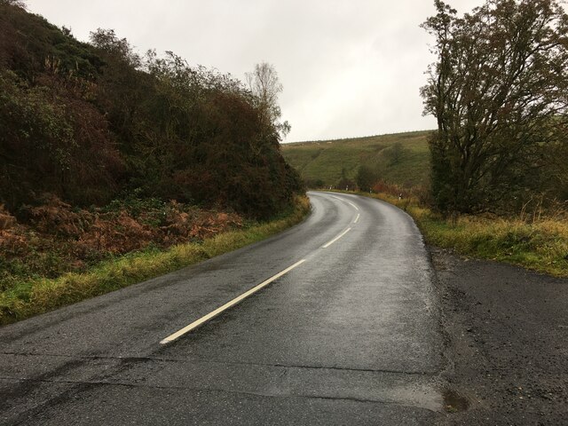
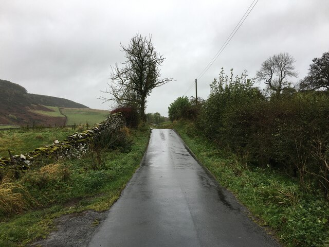
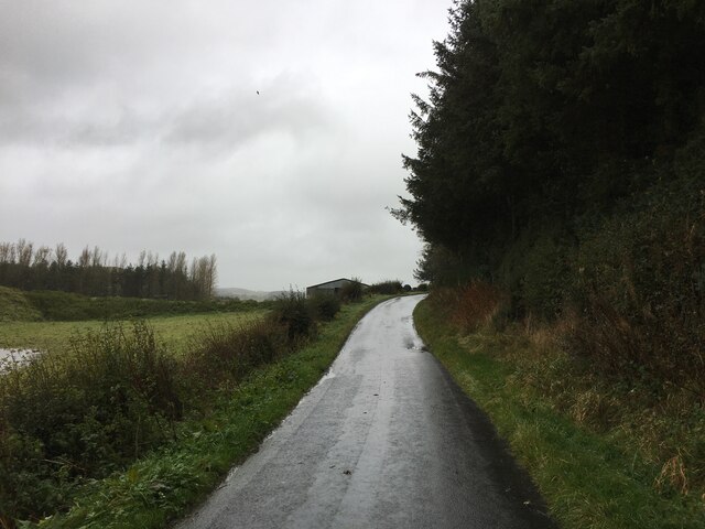
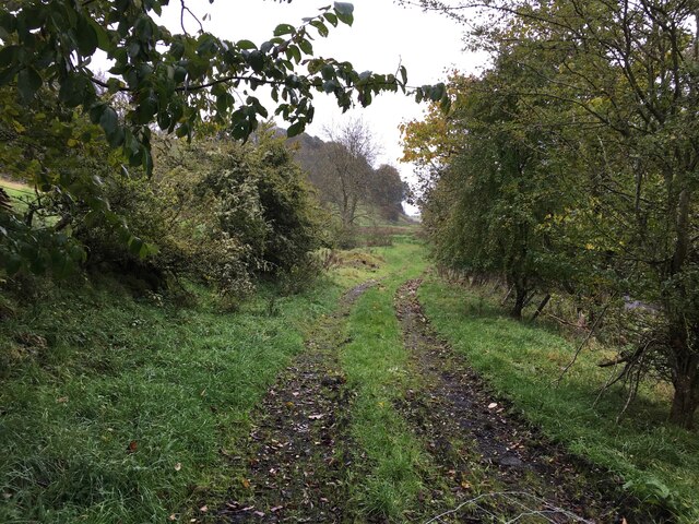
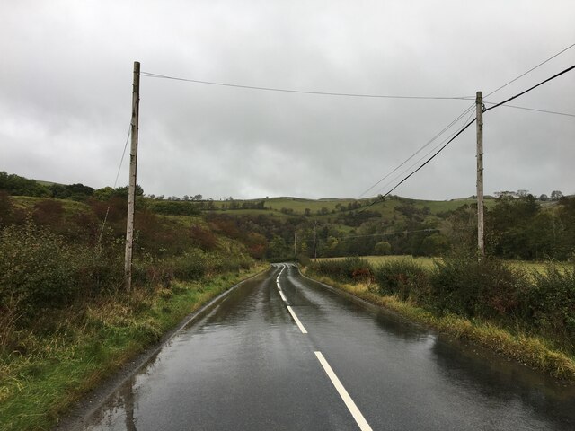
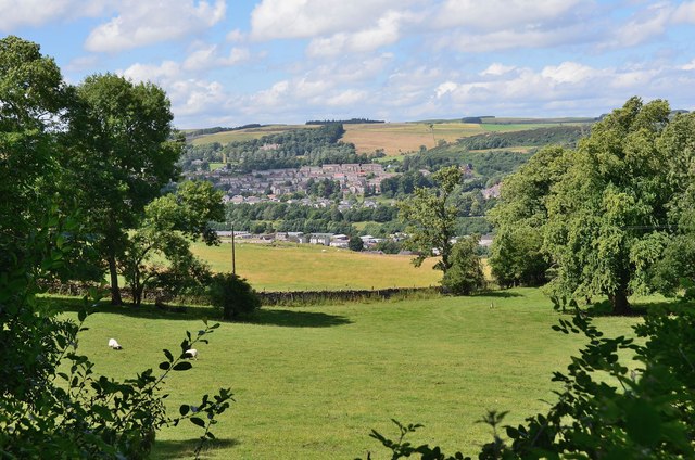
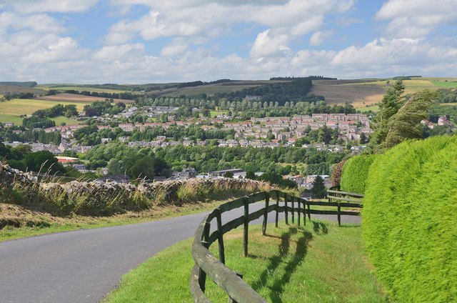
Hangerhope Plantation is a picturesque woodland located in Roxburghshire, a historic county in the Scottish Borders region of Scotland. Covering an area of approximately 150 acres, this forested area boasts a diverse range of trees and vegetation, making it a haven for nature lovers and outdoor enthusiasts.

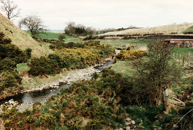
The plantation primarily consists of native tree species, including oak, ash, birch, and hazel. These trees provide a rich habitat for various wildlife, such as red squirrels, roe deer, and a wide variety of bird species. The woodland floor is adorned with an array of wildflowers, creating a colorful and vibrant environment during the spring and summer months.

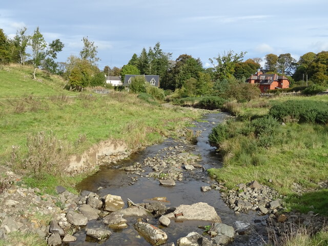
Hangerhope Plantation is crisscrossed by a network of well-maintained trails, offering visitors the opportunity to explore the area on foot or by bicycle. These trails wind through the woodland, leading to picturesque viewpoints, tranquil ponds, and small streams. The plantation also features picnic areas and benches strategically placed throughout, allowing visitors to relax and enjoy the peaceful surroundings.

With its idyllic setting, Hangerhope Plantation is not only a popular destination for nature enthusiasts but also for photographers and artists seeking inspiration from its natural beauty. The changing seasons bring a new charm to the woodland, with vibrant autumn foliage and a magical winter wonderland when snow blankets the trees.

Overall, Hangerhope Plantation in Roxburghshire is a true gem, offering visitors a chance to reconnect with nature and experience the tranquility of a Scottish woodland.

If you have any feedback on the listing, please let us know in the comments section below.

Hangerhope Plantation Images

Images are sourced within 2km of 55.408814/-2.754437 or Grid Reference NT5213. Thanks to Geograph Open Source API. All images are credited.

Grazing, Kirkton
Grazing, Kirkton
Farm track over the Kirkton Burn
The Kirkton Burn
The Kirkton Burn
West Lodge on the A6088
A6088 towards Hawick
Minor road, Deanbrae Towards Ormiston.
Minor road, Deanbrae
Towards Ormiston.
A6088 near Kirkton
A6088 near Kirkton
Minor road near Ormiston
Minor road near Hawick
Path near Hummelknowe Bridge
B6399 towards Hawick
Kirkton Burn Flowing between the gorse bushes, the burn is seen from a layby beside the A6088.

There is a story about how I came to be parked in this layby.   Whilst driving north to Edinburgh on the A68 - a route chosen because it goes through family ancestral territory - The car developed an interesting scraping sound under braking.  Initially I suspected a small stone trapped in the brake shoes but as it got worse I decided to head for the nearest large town, Hawick, via the A6088.  I stopped in this layby to check for any visual signs of the cause and decided to take a photo while I was there.   Subsequently in Hawick a mechanic specialising in farm machinery diagnosed the fault as failed straking on the offside front wheel which he repaired, allowing us to continue our journey via the A698.
Kirkton Burn
Flowing between the gorse bushes, the burn is seen from a layby beside the A6088. There is a story about how I came to be parked in this layby. Whilst driving north to Edinburgh on the A68 - a route chosen because it goes through family ancestral territory - The car developed an interesting scraping sound under braking. Initially I suspected a small stone trapped in the brake shoes but as it got worse I decided to head for the nearest large town, Hawick, via the A6088. I stopped in this layby to check for any visual signs of the cause and decided to take a photo while I was there. Subsequently in Hawick a mechanic specialising in farm machinery diagnosed the fault as failed straking on the offside front wheel which he repaired, allowing us to continue our journey via the A698.
Wellogate Farm, Hawick
Kinninghall Hill from the air Viewed from a Prague bound flight from Edinburgh.
Kinninghall Hill from the air
Viewed from a Prague bound flight from Edinburgh.
Minor road at Orchard Looking down the hill towards the valley of the Kirkton Burn.
Minor road at Orchard
Looking down the hill towards the valley of the Kirkton Burn.
Hugh and Jumbo's seat, Orchard This roadside seat bears a plaque stating 

'Donated by Jumbo Wright and Hugh McLeod OBE Year 2000'

The hill in the background is Rubers Law.
Hugh and Jumbo's seat, Orchard
This roadside seat bears a plaque stating 'Donated by Jumbo Wright and Hugh McLeod OBE Year 2000' The hill in the background is Rubers Law.
Hawick from the east Looking past grazing land to the higher parts of the town across the Teviot valley.
Hawick from the east
Looking past grazing land to the higher parts of the town across the Teviot valley.
Descending to Hawick A good view of the town opens out as the minor road from Orchard begins its descent to the valley.
Descending to Hawick
A good view of the town opens out as the minor road from Orchard begins its descent to the valley.
Show me another place!

Hangerhope Plantation is located at Grid Ref: NT5213 (Lat: 55.408814, Lng: -2.754437)

Unitary Authority: The Scottish Borders

Police Authority: The Lothians and Scottish Borders

What 3 Words

///safe.riding.interrupt. Near Hawick, Scottish Borders

Related Wikis

Kirkton, Scottish Borders

Kirkton is a village in the Scottish Borders area of Scotland, off the A6088, near Hawick. Grid Ref. NT5413. It is a former parish, amalgamated into the...

Slitrig Water

Slitrig Water (archaic Scots: Slitterick Waiter; current Southern Scots: Slitrig Witter), also known as the River Slitrig, is a river in the Scottish Borders...

Hawick

Hawick ( HOYK; Scots: Haaick; Scottish Gaelic: Hamhaig) is a town in the Scottish Borders council area and historic county of Roxburghshire in the east...

Hawick Town Hall

Hawick Town Hall is a municipal building in the High Street, Hawick, Scotland. The structure, which served as the meeting place of Hawick Burgh Council...

Nearby Amenities

Located within 500m of 55.408814,-2.754437
Whiteacres Hill
Natural: peak
Lat/Long: 55.4063375/-2.7568126
The data included in this document is from www.openstreetmap.org. The data is made available under ODbL.

Have you been to Hangerhope Plantation?

Leave your review of Hangerhope Plantation below (or comments, questions and feedback).