Cemmaes Road
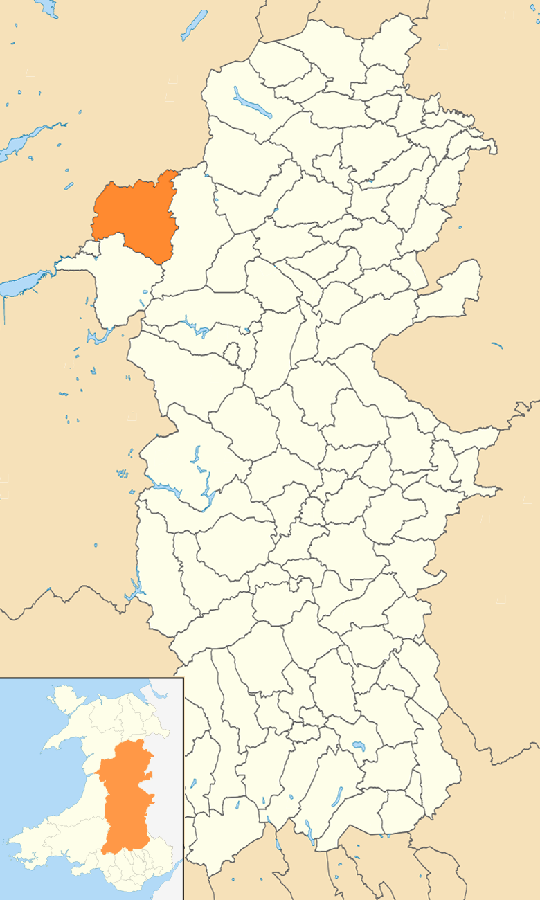
Settlement in Montgomeryshire
Wales
Cemmaes Road
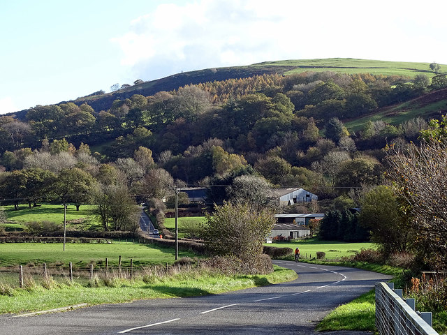
Cemmaes Road is a small village located in Montgomeryshire, Wales. It is situated near the River Dyfi and surrounded by picturesque countryside, making it a popular destination for nature lovers and outdoor enthusiasts. The village is known for its peaceful and tranquil atmosphere, offering a retreat from the hustle and bustle of city life.
Cemmaes Road has a small population, with a close-knit community that is known for its friendliness and welcoming attitude towards visitors. The village has a few amenities, including a local pub, a post office, and a convenience store, providing residents with the essentials they need on a day-to-day basis.
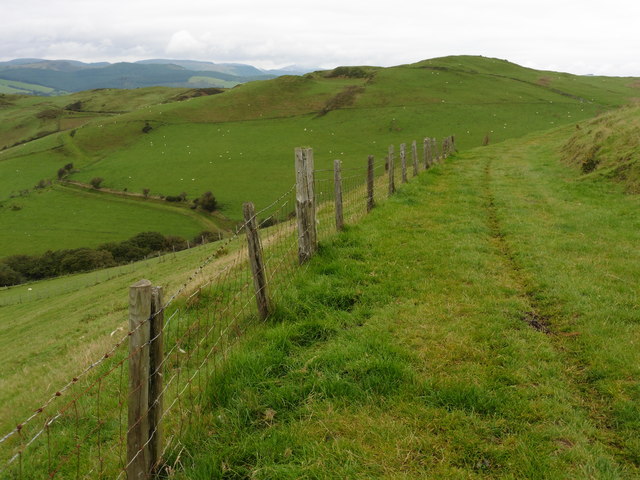
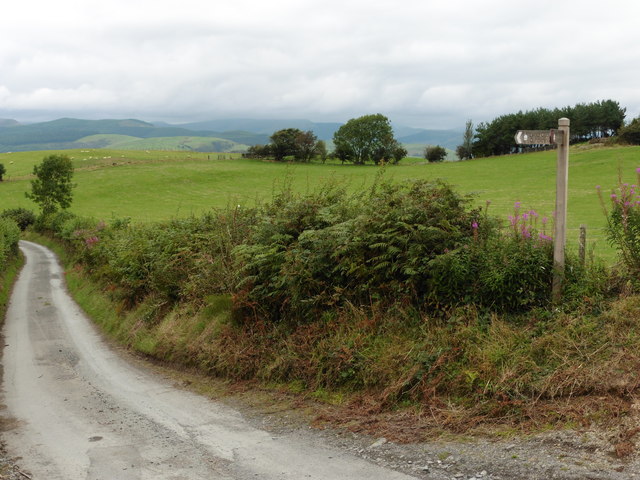
The surrounding area offers plenty of opportunities for outdoor activities, such as hiking, fishing, and birdwatching. The nearby River Dyfi is a popular spot for fishing, and the surrounding hills and forests provide ample opportunities for exploring the natural beauty of the area.
Overall, Cemmaes Road is a charming village that offers a peaceful and relaxing environment for those looking to escape the hustle and bustle of city life and immerse themselves in the beauty of the Welsh countryside.
If you have any feedback on the listing, please let us know in the comments section below.
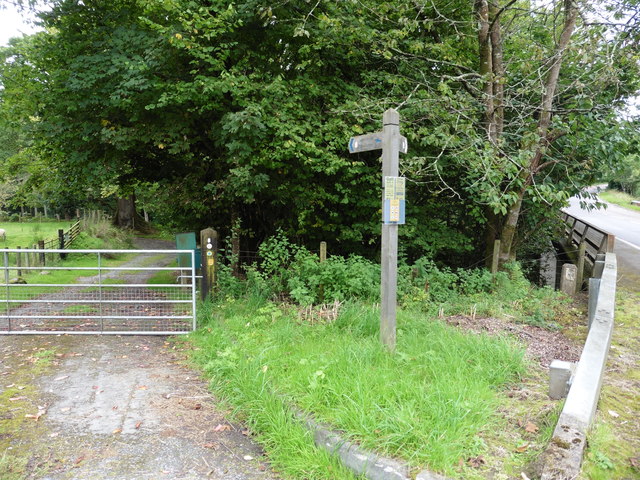
Cemmaes Road Images
Images are sourced within 2km of 52.62382/-3.740252 or Grid Reference SH8204. Thanks to Geograph Open Source API. All images are credited.


Cemmaes Road is located at Grid Ref: SH8204 (Lat: 52.62382, Lng: -3.740252)
Unitary Authority: Powys
Police Authority: Dyfed Powys
Also known as: Glantwymyn
What 3 Words
///footpath.slacker.indeed. Near Cwm-Llinau, Powys
Nearby Locations
Related Wikis

Cemmaes Road
Cemmaes Road (Welsh: Glantwymyn; ) is a village in Powys, Wales. It is in the community (civil parish) of Glantwymyn. The village was named in English...
Glantwymyn
Glantwymyn () is a community in the northwest (Montgomeryshire) of Powys, Wales. == Description == It comprises the villages of Cemmaes, Commins Coch and...
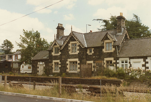
Cemmes Road railway station
Cemmes Road was a railway station on the Newtown and Machynlleth Railway (N&MR) in Mid-Wales, serving the village of Cemmaes Road. The N&MR passed through...
Glyndŵr's Way
Glyndŵr's Way (Welsh: Llwybr Glyndŵr) is a long-distance footpath in mid Wales. It runs for 135 miles (217 km) in an extended loop through Powys between...
Nearby Amenities
Located within 500m of 52.62382,-3.740252Have you been to Cemmaes Road?
Leave your review of Cemmaes Road below (or comments, questions and feedback).