Chapel Wood

Wood, Forest in Fife

Scotland

Chapel Wood

Inch Farm The hill in the background is Kellie Law.
Inch Farm Credit: James Allan

Chapel Wood, located in Fife, Scotland, is a picturesque forest that offers visitors a tranquil and immersive experience in nature. Covering an area of approximately 100 acres, this woodland is a haven for wildlife enthusiasts and outdoor enthusiasts alike.

The wood is primarily made up of various species of trees, including oak, beech, and birch, which create a diverse and vibrant ecosystem. The dense canopy provides ample shade, making it an ideal spot for a leisurely walk or a peaceful picnic. The forest floor is adorned with a carpet of bluebells during the spring season, adding a burst of color to the surroundings.

Chapel Wood is home to a rich variety of wildlife, making it a popular destination for birdwatchers. Visitors may catch a glimpse of woodpeckers, buzzards, and various species of owls that call this woodland home. Squirrels and rabbits are also frequently spotted, adding to the charm of the area.

The wood is crisscrossed with a network of well-maintained trails, allowing visitors to explore the area at their own pace. These paths cater to all levels of fitness and offer opportunities for both short strolls and longer hikes. Interpretive signs along the trails provide information about the flora and fauna found within the wood, enhancing the educational experience.

Chapel Wood, with its natural beauty and serene atmosphere, offers a welcome respite from the hustle and bustle of everyday life. Whether it's for a leisurely walk or a chance to connect with nature, this woodland is a must-visit destination for anyone seeking a peaceful retreat in Fife.

If you have any feedback on the listing, please let us know in the comments section below.

Chapel Wood Images

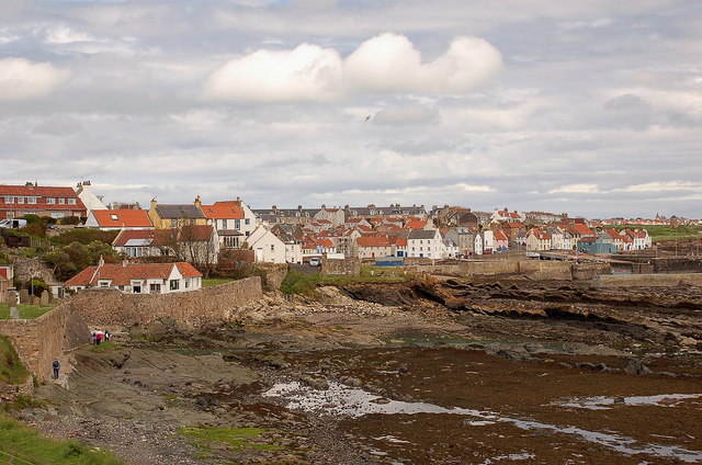
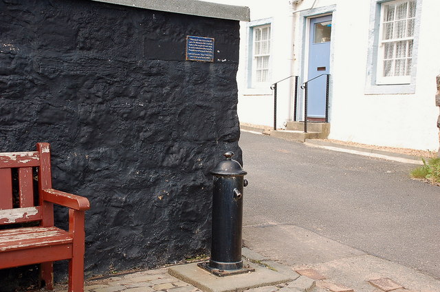
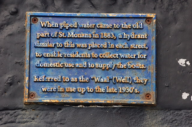
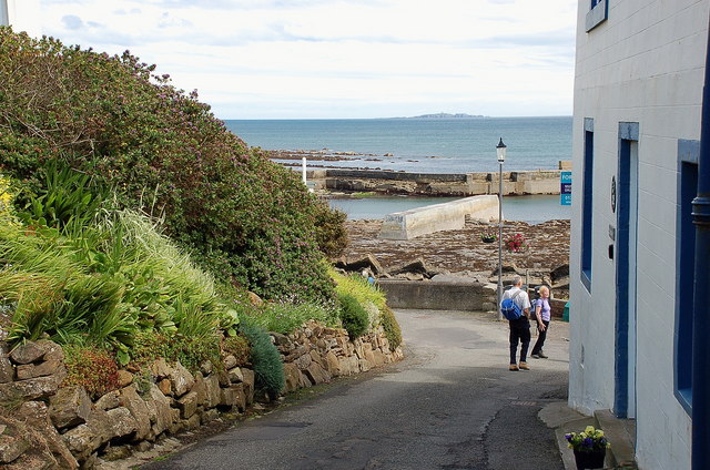
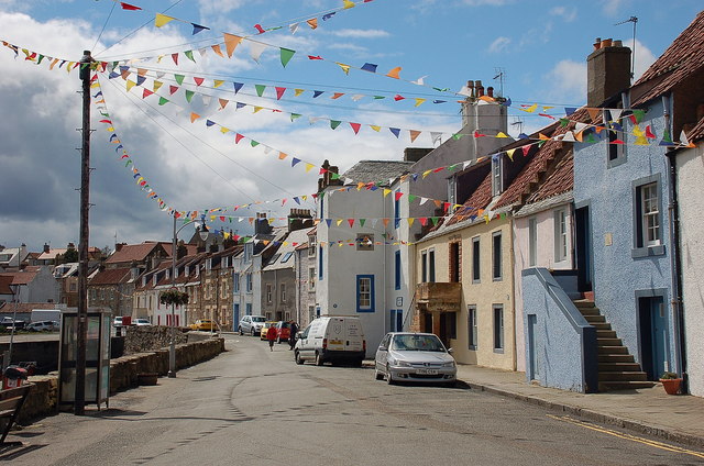
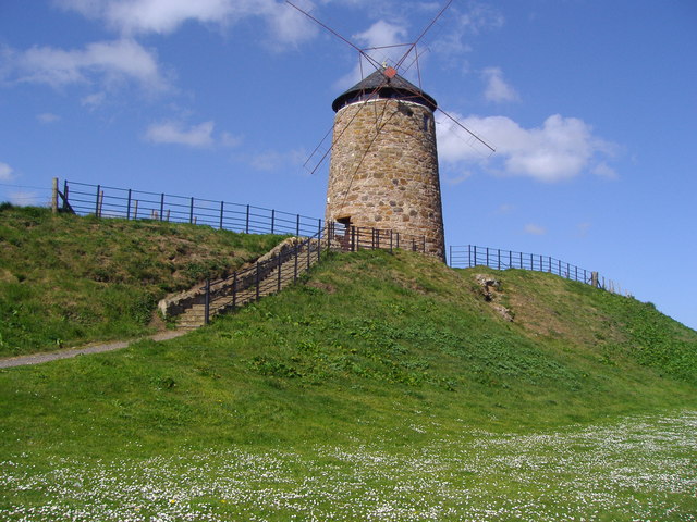
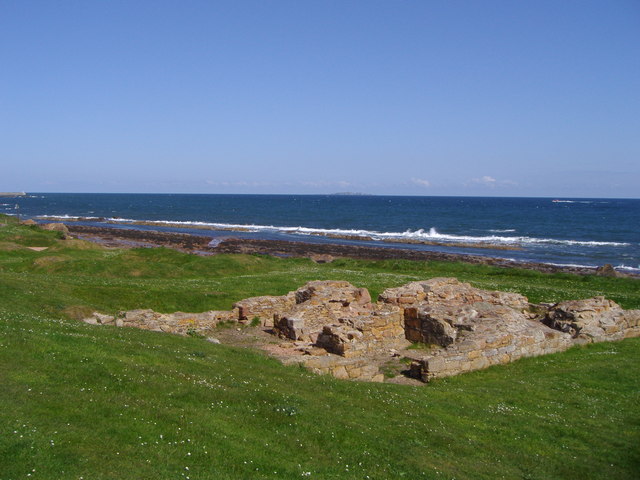
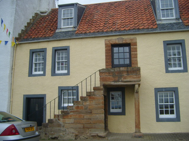
Images are sourced within 2km of 56.221205/-2.7719697 or Grid Reference NO5203. Thanks to Geograph Open Source API. All images are credited.

Inch Farm The hill in the background is Kellie Law.
Inch Farm
The hill in the background is Kellie Law.
Heading for Madeira Neat beech hedges line the road from Inch Farm towards a property named 'Madeira'.
Heading for Madeira
Neat beech hedges line the road from Inch Farm towards a property named 'Madeira'.
Lobster Pots at St. Monance harbour
St Monans Approaching the village by the low tide option of the Fife Coast path. The kirk is out of shot just to the left.
St Monans
Approaching the village by the low tide option of the Fife Coast path. The kirk is out of shot just to the left.
Old water supply, St Monans The hydrant was one of several in the village, dating from 1883 when piped water was introduced. They were in use until the late 1930s. The plaque is shown in closeup in <a href="https://www.geograph.org.uk/photo/2474950">NO5201 : Plaque above the old water supply, St Monans</a>.
Old water supply, St Monans
The hydrant was one of several in the village, dating from 1883 when piped water was introduced. They were in use until the late 1930s. The plaque is shown in closeup in NO5201 : Plaque above the old water supply, St Monans.
Plaque above the old water supply, St Monans The plaque is above the hydrant shown in <a href="https://www.geograph.org.uk/photo/2474948">NO5201 : Old water supply, St Monans</a>.
Plaque above the old water supply, St Monans
The plaque is above the hydrant shown in NO5201 : Old water supply, St Monans.
A lane in St Monans On the way to the harbour, with the Isle of May on the horizon.
A lane in St Monans
On the way to the harbour, with the Isle of May on the horizon.
Harbour mouth, St Monans North Berwick Law is in view straight across the Forth.
Harbour mouth, St Monans
North Berwick Law is in view straight across the Forth.
Seafront houses at St Monans Bunting adding to the already colourful scene of the houses overlooking the harbour.
Seafront houses at St Monans
Bunting adding to the already colourful scene of the houses overlooking the harbour.
St. Monans Harbour On the Fife's Forth coast.
St. Monans Harbour
On the Fife's Forth coast.
Windmill, St Monans A legacy of the salt industry which once operated in St Monans.
Windmill, St Monans
A legacy of the salt industry which once operated in St Monans.
Salt pans, St Monans Although salt pans were operating in St Monans in the seventeenth century, the remains of the salt pans which can be seen on this stretch of the Fife Coastal Path belong to the late eighteenth century and were established by the Newark Coal and Saltwork Company.  This company was founded in 1771 by Sir John Anstruther, and the Dunbar merchant, Robert Fall.
Salt pans, St Monans
Although salt pans were operating in St Monans in the seventeenth century, the remains of the salt pans which can be seen on this stretch of the Fife Coastal Path belong to the late eighteenth century and were established by the Newark Coal and Saltwork Company. This company was founded in 1771 by Sir John Anstruther, and the Dunbar merchant, Robert Fall.
Kellie Castle near Pittenweem Kellie castle dates from the 14th century and has a victorian garden.The castle is reputedly haunted.It was the home of Sir Robert Lorimer,the architect of the Scottish National War Memorial and Hew Lorimer,the sculptor.
 .
Kellie Castle near Pittenweem
Kellie castle dates from the 14th century and has a victorian garden.The castle is reputedly haunted.It was the home of Sir Robert Lorimer,the architect of the Scottish National War Memorial and Hew Lorimer,the sculptor. .
Restored Cottage at St Monans This cottage called the Anchorage was restored by The National Trust for Scotland
Restored Cottage at St Monans
This cottage called the Anchorage was restored by The National Trust for Scotland
St Monans Harbour In the 18th and 19th centuries St Monans was one of the principal fishing stations on the east coast of Scotland, mainly line fishing (for white fish) and herring fishing. The harbour nowadays is used mainly by pleasure craft and small fishing vessels.
St Monans Harbour
In the 18th and 19th centuries St Monans was one of the principal fishing stations on the east coast of Scotland, mainly line fishing (for white fish) and herring fishing. The harbour nowadays is used mainly by pleasure craft and small fishing vessels.
Cottages at St Monans These old cottages front the harbour at St Monans.
Cottages at St Monans
These old cottages front the harbour at St Monans.
Temporary high-rise Straw bales in a stubble field near Kellie Castle.
Temporary high-rise
Straw bales in a stubble field near Kellie Castle.
Conical tower Detail of the roofwork at the south-western corner of Kellie Castle.
Conical tower
Detail of the roofwork at the south-western corner of Kellie Castle.
Show me another place!

Chapel Wood is located at Grid Ref: NO5203 (Lat: 56.221205, Lng: -2.7719697)

Unitary Authority: Fife

Police Authority: Fife

What 3 Words

///bravery.saddens.firms. Near St Monans, Fife

Nearby Locations

Stable Wood Chapel Wood

Related Wikis

Abercrombie, Fife

Abercrombie (Gaelic: Obar Chrombaidh) is a village in Fife , Scotland. Abercrombie, recorded in 1157-60 as Abercrumbin, means 'mouth of the river Crombie...

Arncroach

Arncroach is a small village situated in the east of Fife, four miles inland of the fishing village of Pittenweem and around 10 miles away from St Andrews...

St. Monance railway station

St. Monance railway station served the village of St Monans, Fife, Scotland from 1863 to 1965 on the Fife Coast Railway. == History == The station was...

St Monans

St Monans ( , locally ), sometimes spelt St Monance, is a village and parish in the East Neuk of Fife and is named after the legendary Saint Monan. Situated...

Nearby Amenities

Located within 500m of 56.221205,-2.7719697
Ford: yes
Lat/Long: 56.2192827/-2.7660108
Abercrombie Church
Historic: ruins
Lat/Long: 56.2210438/-2.7725923
The data included in this document is from www.openstreetmap.org. The data is made available under ODbL.

Have you been to Chapel Wood?

Leave your review of Chapel Wood below (or comments, questions and feedback).