Black Wood
Wood, Forest in Banffshire
Scotland
Black Wood

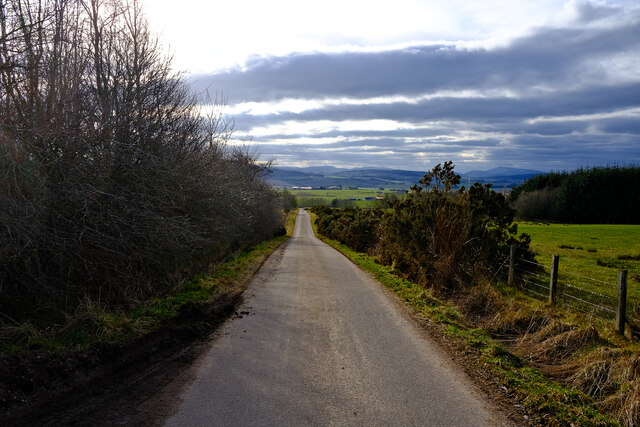
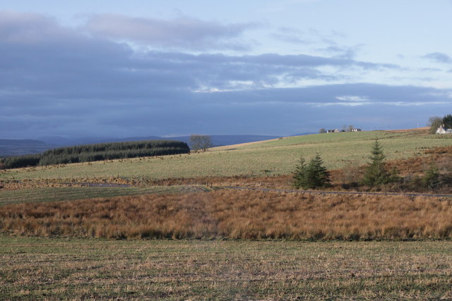
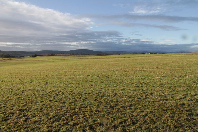
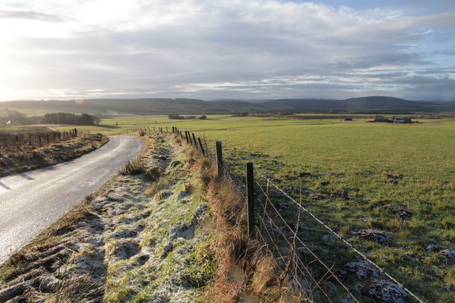
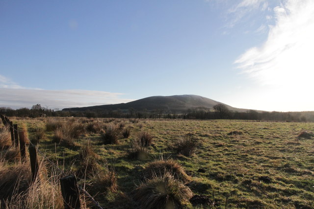
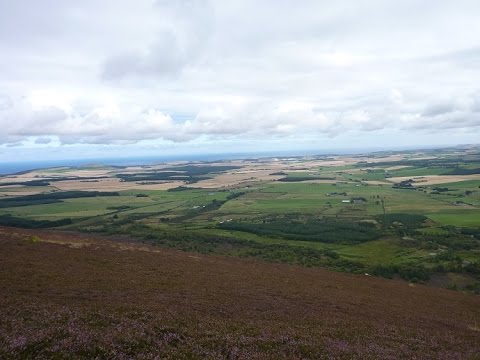
Black Wood is a lush and sprawling forest located in the picturesque region of Banffshire, Scotland. Covering an area of approximately 10 square kilometers, it boasts a diverse range of flora and fauna, making it a haven for nature lovers and outdoor enthusiasts.
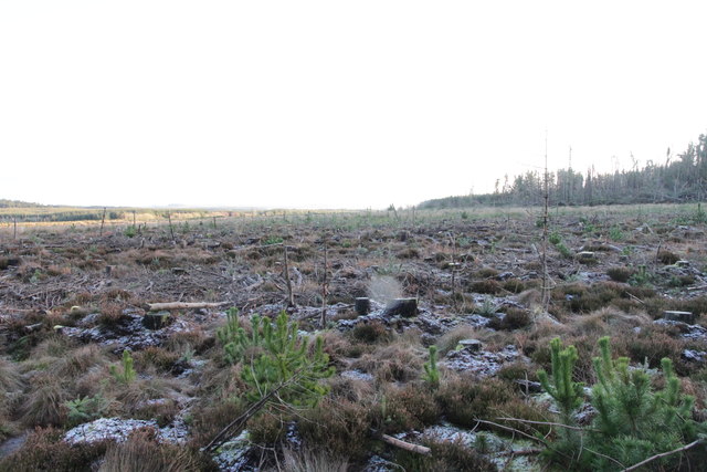
The wood is primarily composed of dense coniferous trees, including Scots pine, Norway spruce, and Douglas fir, which create a mesmerizing canopy overhead. These towering giants provide a habitat for various bird species such as crossbills, woodpeckers, and owls, making it a popular spot for birdwatching.
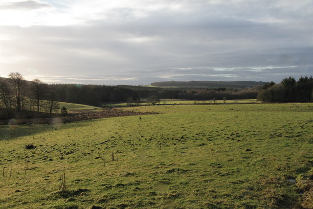
Numerous walking trails crisscross the forest, offering visitors the opportunity to explore its natural beauty. The paths wind through moss-covered forest floors, meandering streams, and tranquil ponds. Along the way, visitors may encounter a rich array of wildlife, including red squirrels, deer, and even the occasional glimpse of elusive pine martens.
Black Wood is also home to a wide variety of plant species, ranging from delicate wildflowers to ferns and mosses. In spring, the forest floor becomes a vibrant carpet of bluebells, primroses, and wood anemones. As summer approaches, the woods become a lush green paradise, while autumn brings a stunning display of rich reds, oranges, and yellows as the foliage changes color.
Thanks to its unique natural features and abundant wildlife, Black Wood attracts both locals and tourists seeking solace and tranquility amidst nature's beauty. It offers a truly immersive and enchanting experience for anyone who wishes to escape the hustle and bustle of everyday life.
If you have any feedback on the listing, please let us know in the comments section below.
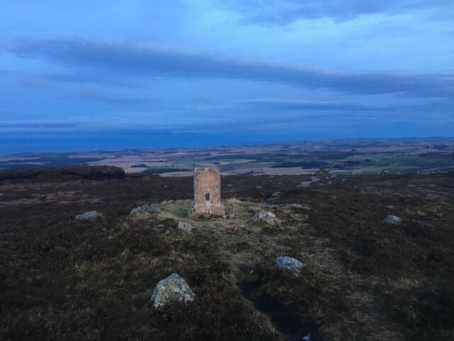
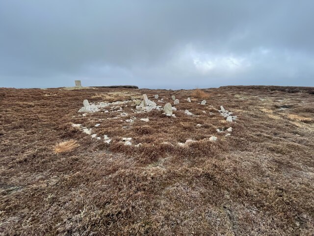
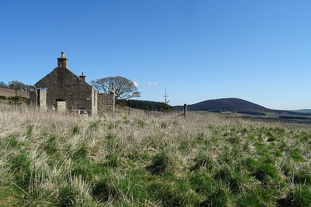
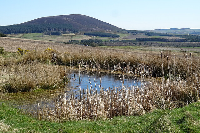
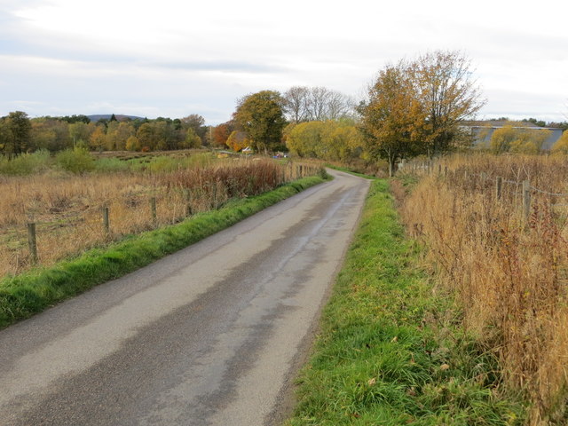
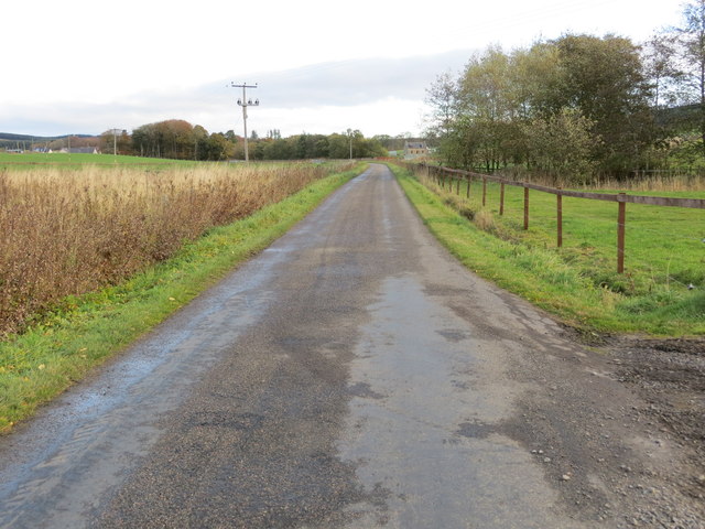
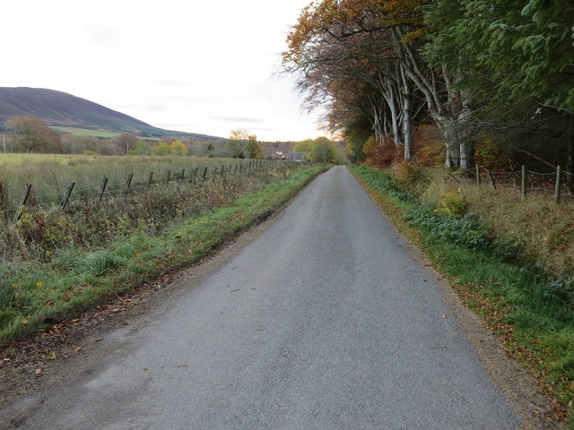
Black Wood Images
Images are sourced within 2km of 57.588719/-2.8052534 or Grid Reference NJ5155. Thanks to Geograph Open Source API. All images are credited.


Black Wood is located at Grid Ref: NJ5155 (Lat: 57.588719, Lng: -2.8052534)
Unitary Authority: Moray
Police Authority: North East
What 3 Words
///strut.scenes.vegetable. Near Keith, Moray
Nearby Locations
Related Wikis

Glenbarry railway station
Glenbarry railway station, previously known as Barry was an intermediate stop with a passing loop situated on the Great North of Scotland Railway (GNoSR...

Knock railway station (Scotland)
Knock railway station was an intermediate stop situated on the Great North of Scotland Railway (GNoSR) line from Grange and Cairnie Junction to Tillynaught...
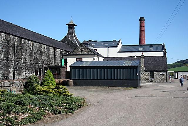
Knockdhu distillery
Knockdhu distillery is a whisky distillery situated in Knock, Banffshire and owned by Inver House Distillers Limited. == History == The distillery was...
Farmtown
Farmtown is a village in the Moray council area of Scotland. Farmtown lies on the junction of the A95 and B9117 roads east of the town of Keith.

Grange, Moray
Grange is a parish in the Scottish county of Banffshire that dates back to a royal charter granting the lands to the abbots and monks of Kinloss in 1196...

Millegin railway station
Millegin railway station, Millagan railway station or later Millegin Siding was briefly an intermediate stop situated on what became the Great North of...

Grange railway station (Scotland)
Grange railway station was a railway station in the parish of Grange, historically in Banffshire (although currently in Moray). Opened in 1856 by the...
Deskford Tower
Tower of Deskford was a 14th-century tower house, about 3.5 miles (5.6 km) south of Cullen, Moray, Scotland at Deskford, west of the burn. The tower and...
Related Videos
Knock Hill walk, Aberdeenshire, Scotland, UK
Starting at Swilebog this is a very short out and back ascent of Knock Hill.
Nearby Amenities
Located within 500m of 57.588719,-2.8052534Have you been to Black Wood?
Leave your review of Black Wood below (or comments, questions and feedback).