Shankend Hill Wood
Wood, Forest in Roxburghshire
Scotland
Shankend Hill Wood
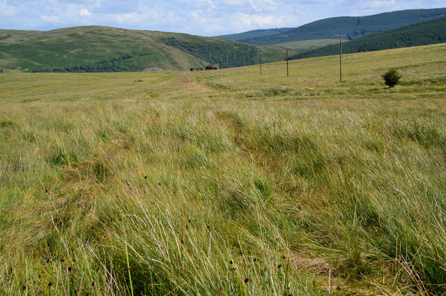
Shankend Hill Wood is a picturesque woodland located in Roxburghshire, a historic county in the Scottish Borders region of Scotland. This enchanting forest covers a sprawling area and is nestled amidst the rolling hills and stunning natural landscapes that characterize the region.
The wood is primarily composed of native tree species, including oak, birch, and ash, which create a diverse and flourishing ecosystem. The dense foliage provides a haven for a wide range of flora and fauna, making it a popular destination for nature enthusiasts and wildlife lovers.
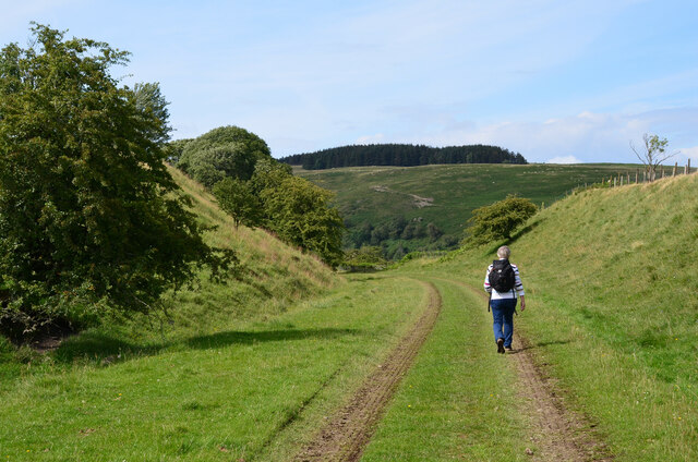
Visitors to Shankend Hill Wood can enjoy a tranquil and serene environment, surrounded by the soothing sounds of birdsong and the rustling of leaves. The wood offers various walking trails, allowing visitors to explore its beauty at their own pace. These trails wind through the forest, offering stunning views of the surrounding countryside and providing opportunities for peaceful contemplation.
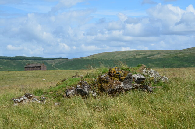
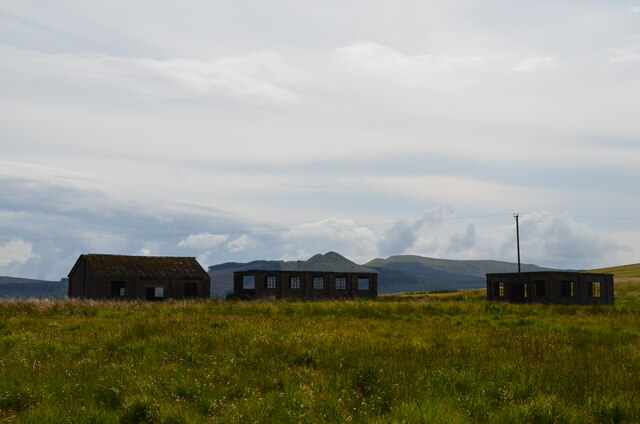
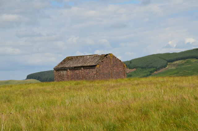
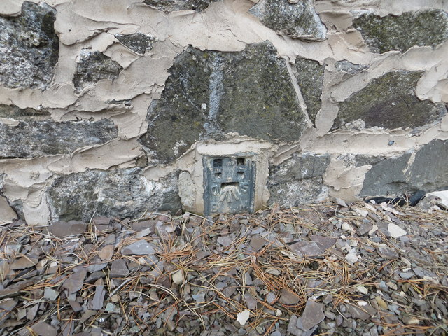
Additionally, Shankend Hill Wood is home to a rich history, with remnants of ancient settlements and structures scattered throughout the area. These archaeological features serve as a testament to the area's long-standing human presence and add a touch of intrigue to the wood's natural beauty.
Overall, Shankend Hill Wood is a captivating destination that offers a serene escape from the hustle and bustle of everyday life. Its lush vegetation, diverse wildlife, and historical significance make it an ideal location for those seeking a peaceful retreat or an opportunity to connect with nature.
If you have any feedback on the listing, please let us know in the comments section below.
Shankend Hill Wood Images
Images are sourced within 2km of 55.331888/-2.7599731 or Grid Reference NT5104. Thanks to Geograph Open Source API. All images are credited.


Shankend Hill Wood is located at Grid Ref: NT5104 (Lat: 55.331888, Lng: -2.7599731)
Unitary Authority: The Scottish Borders
Police Authority: The Lothians and Scottish Borders
What 3 Words
///fail.coconuts.speaks. Near Hawick, Scottish Borders
Nearby Locations
Related Wikis

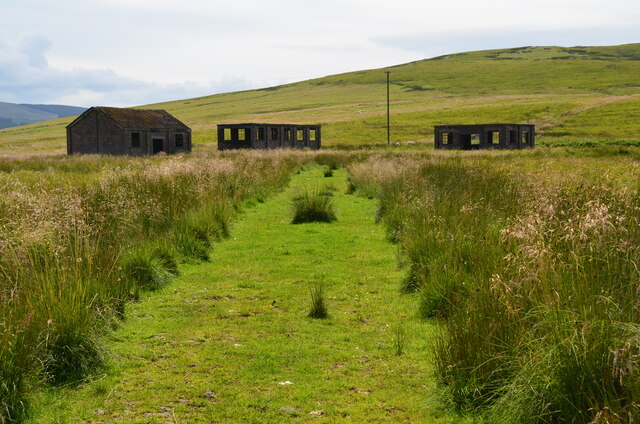
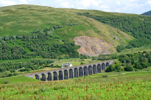
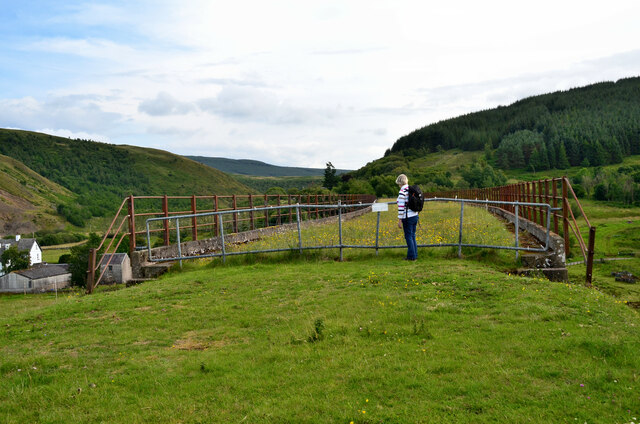
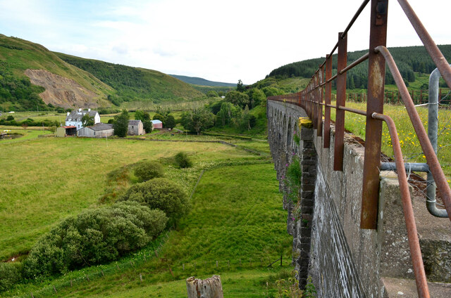
Shankend railway station
Shankend railway station served the hamlet of Shankend, Scottish Borders, Scotland from 1862 to 1969 on the Border Union Railway. == History == The station...

Shankend
Shankend Manor was a sixteenth-century mansion located some six miles (ten kilometres) south of Hawick, close to Whitrope Siding in Scotland. It was constructed...

Maiden Paps (Hawick)
The Maiden Paps are twin hills near Hawick, in the Scottish Borders of the south east of Scotland, so named because they have the shape of human breasts...
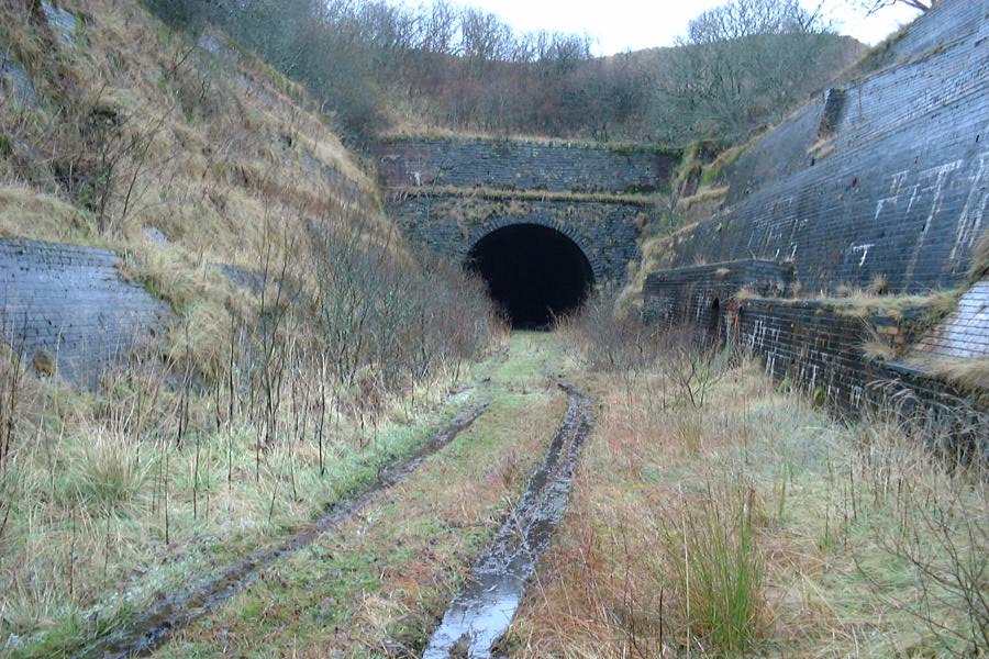
Whitrope Tunnel
The Whitrope Tunnel is a disused railway tunnel in the Scottish Borders, situated 12 miles (19 km) south of Hawick on the Waverley Route, close to Whitrope...
Nearby Amenities
Located within 500m of 55.331888,-2.7599731Have you been to Shankend Hill Wood?
Leave your review of Shankend Hill Wood below (or comments, questions and feedback).