Cellarhead

Settlement in Staffordshire Staffordshire Moorlands

England

Cellarhead

A520 Cellarhead The view entering Cellarhead heading north on the Leek Road (A520).
A520 Cellarhead Credit: Gordon Griffiths

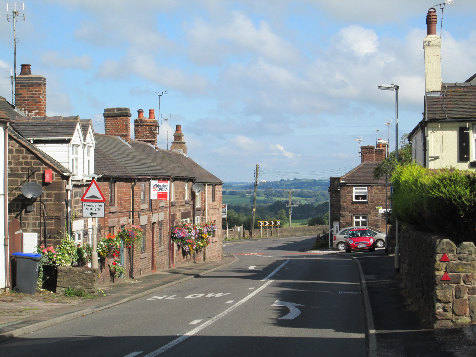
Cellarhead is a small village located in the county of Staffordshire, England. Situated approximately 8 miles southeast of Stoke-on-Trent, it falls within the Staffordshire Moorlands district. With a population of around 1,500 residents, Cellarhead retains a close-knit community atmosphere.

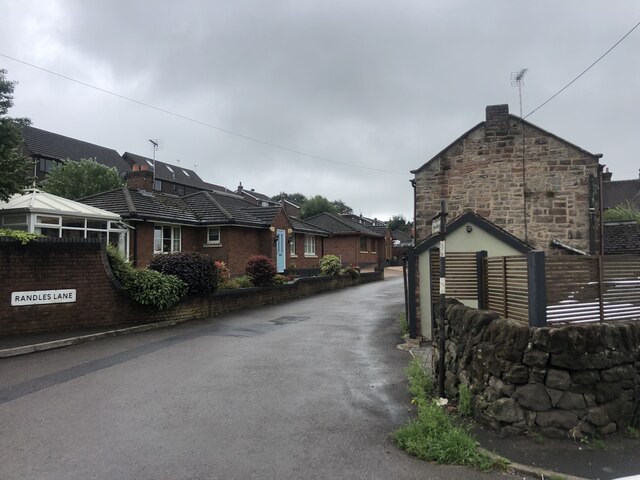
The village is nestled amidst picturesque rolling hills and offers breathtaking views of the surrounding countryside. The area is characterized by its rural charm and tranquility, making it an ideal location for those seeking a peaceful retreat away from the hustle and bustle of larger towns.

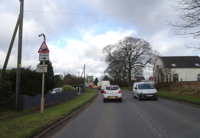
Cellarhead is well-connected to neighboring towns and cities, with the A520 road passing through the village, providing easy access to Stoke-on-Trent and the wider Staffordshire region. The village also benefits from regular bus services, offering convenient transportation options for residents and visitors alike.

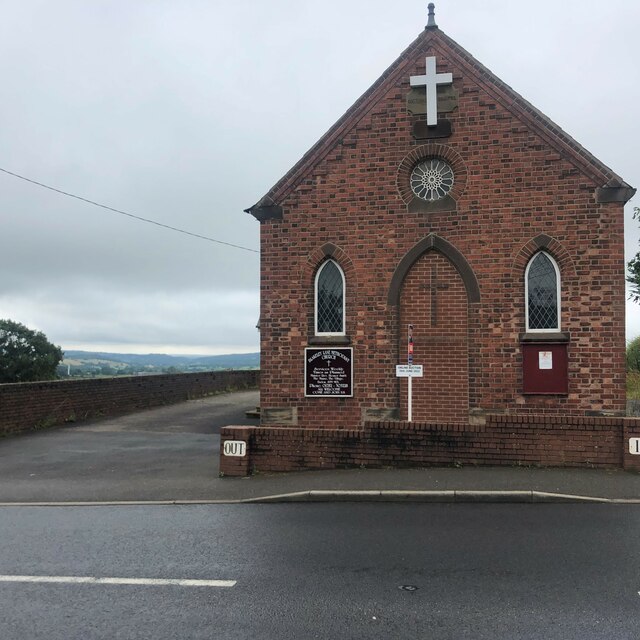
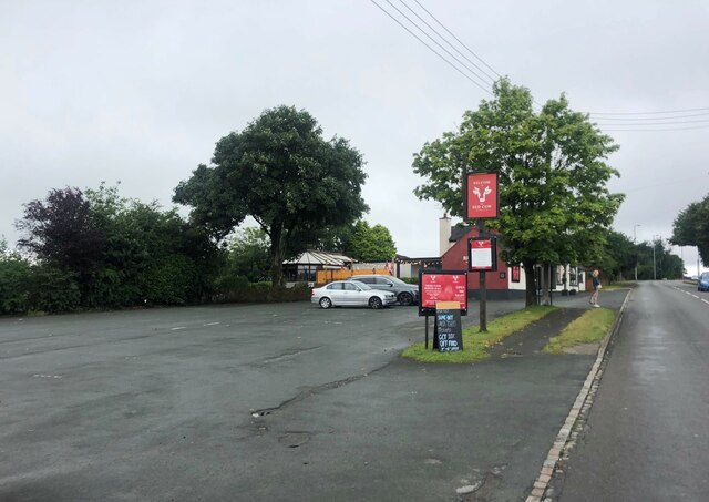
Despite its small size, Cellarhead boasts several amenities to cater to the needs of its residents. These include a local primary school, a village hall, a post office, and a small selection of shops and businesses. The village is also home to a charming local pub, where locals and visitors can relax and enjoy a drink or a meal.

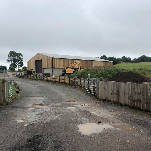
The surrounding area offers ample opportunities for outdoor activities, with numerous walking and cycling routes to explore. Additionally, the nearby Staffordshire Moorlands provide a range of recreational activities such as hiking, horse riding, and fishing.

Overall, Cellarhead offers a peaceful and idyllic village lifestyle, with its beautiful countryside setting and close community spirit.

If you have any feedback on the listing, please let us know in the comments section below.
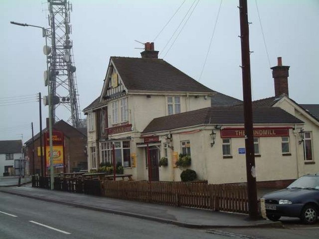
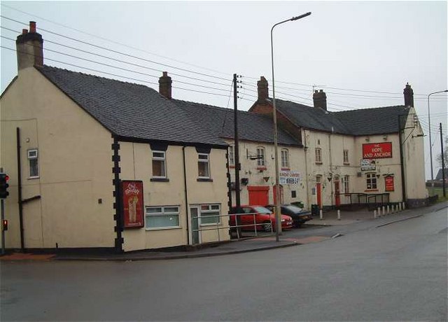
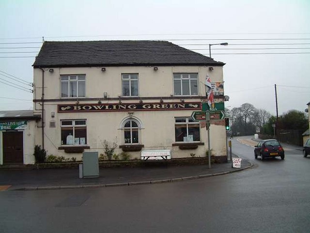
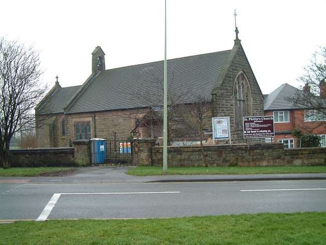
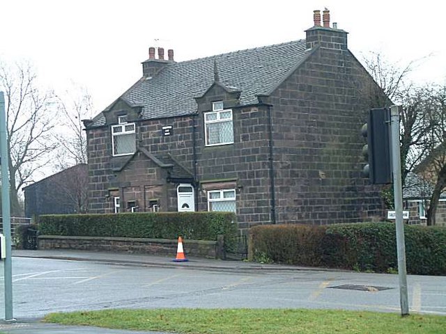
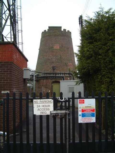
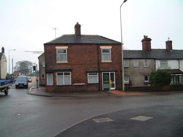
Cellarhead Images

Images are sourced within 2km of 53.024754/-2.06855 or Grid Reference SJ9547. Thanks to Geograph Open Source API. All images are credited.

A520 Cellarhead The view entering Cellarhead heading north on the Leek Road (A520).
A520 Cellarhead
The view entering Cellarhead heading north on the Leek Road (A520).
Randles Lane, Wetley Rocks Modern detached bungalows on one side of this lane
Randles Lane, Wetley Rocks
Modern detached bungalows on one side of this lane
Barn at Oakley's Farm Storage for kiln-dried logs and garden buildings rather than animals
Barn at Oakley's Farm
Storage for kiln-dried logs and garden buildings rather than animals
Blakeley Lane Methodist Church Recently sold, so presumably no longer a church.
Blakeley Lane Methodist Church
Recently sold, so presumably no longer a church.
Car park for the Red Cow public house On the A52, Ash Bank Road
Car park for the Red Cow public house
On the A52, Ash Bank Road
St Philip's Church, Werrington
Highfields Roadside farmhouse on the A522 just south of Wetley Rocks
Highfields
Roadside farmhouse on the A522 just south of Wetley Rocks
Moorville Hall Hotel Moorville Hall Hotel, Leek Road, Werrington, Ash Bank, Stoke on Trent
Moorville Hall Hotel
Moorville Hall Hotel, Leek Road, Werrington, Ash Bank, Stoke on Trent
Chapel Glassworks, Cellarhead Glassworks in a converted Primitive Methodist Chapel built in 1870.
Chapel Glassworks, Cellarhead
Glassworks in a converted Primitive Methodist Chapel built in 1870.
Moorside High School, Cellarhead Moorside High School is based in Cellarhead, Werrington. It has around 800 students aged between 11-18.
Moorside High School, Cellarhead
Moorside High School is based in Cellarhead, Werrington. It has around 800 students aged between 11-18.
The Windmill Public House Situated on Ash Bank Road. Just to the left of the pub is an old windmill and in the grounds is a transmission mast.
The Windmill Public House
Situated on Ash Bank Road. Just to the left of the pub is an old windmill and in the grounds is a transmission mast.
Hope and Anchor Public House, Cellarhead On the crossroads of Leek Road and Cellarhead Road.
Hope and Anchor Public House, Cellarhead
On the crossroads of Leek Road and Cellarhead Road.
Bowling Green Public House, Cellarhead On the opposite corner to The Hope and Anchor Pub:- <a title="https://www.geograph.org.uk/photo/340659" href="https://www.geograph.org.uk/photo/340659">Link</a>
Bowling Green Public House, Cellarhead
On the opposite corner to The Hope and Anchor Pub:- Link
St. Philip's Church, Werrington Corner of Ash bank Road and Salters Lane
St. Philip's Church, Werrington
Corner of Ash bank Road and Salters Lane
Cottages at Salters Lane, Werrington Ash Estate cottages on the corner of Ashbank road and Salters Lane

In 1854 Job Meigh (a famous potter) built a pair of labourers cottages at the corner of Salters Lane and Ash Bank Road. 

One of the occupiers was William Bonnell who was probably employed as the estate carpenter between about 1841 and 1871. He originally lived at Lawsons Farm on Brookhouse Lane but by 1871 was living in one of the new cottages.

See Job Meigh's hall:- <a title="https://www.geograph.org.uk/photo/335671" href="https://www.geograph.org.uk/photo/335671">Link</a>
Cottages at Salters Lane, Werrington
Ash Estate cottages on the corner of Ashbank road and Salters Lane In 1854 Job Meigh (a famous potter) built a pair of labourers cottages at the corner of Salters Lane and Ash Bank Road. One of the occupiers was William Bonnell who was probably employed as the estate carpenter between about 1841 and 1871. He originally lived at Lawsons Farm on Brookhouse Lane but by 1871 was living in one of the new cottages. See Job Meigh's hall:- Link
Windmill, Werrington Standing on the highest point of the village of Werrington is the Old Windmill. It is said to date from 1730.
The last miller was Mark Greatbatch who is listed in White's Gazetteer of 1851.
Towards the end of its life it was used for grinding coal for the manufacture of 'brickettes'
In the grounds is a transmission mast and nearby is The Windmill public house:- <a title="https://www.geograph.org.uk/photo/340367" href="https://www.geograph.org.uk/photo/340367">Link</a>
Windmill, Werrington
Standing on the highest point of the village of Werrington is the Old Windmill. It is said to date from 1730. The last miller was Mark Greatbatch who is listed in White's Gazetteer of 1851. Towards the end of its life it was used for grinding coal for the manufacture of 'brickettes' In the grounds is a transmission mast and nearby is The Windmill public house:- Link
Cottages at Cellarhead crossroads Where the Leek to Stone and Hanley to Cheadle roads cross is Cellarhead. 
The cottage shown to the left used to be a beer house "The Royal Oak" and opposite it was another called the Red Lion.
On the other side of the road still stand two public houses, the Bowling Green and The Hope and Anchor:-
<a title="https://www.geograph.org.uk/photo/340659" href="https://www.geograph.org.uk/photo/340659">Link</a> 
<a title="https://www.geograph.org.uk/photo/340662" href="https://www.geograph.org.uk/photo/340662">Link</a>

Four corners at the crossroads and four pubs!!
Cottages at Cellarhead crossroads
Where the Leek to Stone and Hanley to Cheadle roads cross is Cellarhead. The cottage shown to the left used to be a beer house "The Royal Oak" and opposite it was another called the Red Lion. On the other side of the road still stand two public houses, the Bowling Green and The Hope and Anchor:- Link Link Four corners at the crossroads and four pubs!!
Transmission Tower, Werrington Situated on the highest point in Werrington sits this transmission tower. It is in the grounds of an old windmill:-
<a title="https://www.geograph.org.uk/photo/341006" href="https://www.geograph.org.uk/photo/341006">Link</a>
Transmission Tower, Werrington
Situated on the highest point in Werrington sits this transmission tower. It is in the grounds of an old windmill:- Link
Show me another place!

Cellarhead is located at Grid Ref: SJ9547 (Lat: 53.024754, Lng: -2.06855)

Administrative County: Staffordshire

District: Staffordshire Moorlands

Police Authority: Staffordshire

What 3 Words

///storybook.brightly.strict. Near Cheddleton, Staffordshire

Nearby Locations

Cellarhead

Related Wikis

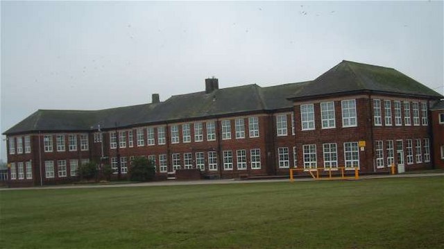
Moorside High School, Werrington

Moorside High School is a coeducational secondary school located in Werrington, Staffordshire. == History == The school was opened in 1939 under the name...

Werrington, Staffordshire

Werrington is a village in the Staffordshire Moorlands district of Staffordshire, England, about 5 miles (8 km) east of Stoke-on-Trent city centre. The...

HM Prison Werrington

HMYOI Werrington (also known as Werrington Juvenile Centre) is a male juveniles' prison located in the village of Werrington in Staffordshire, England...

Wetley Rocks

Wetley Rocks is a village in Staffordshire, England, about 2 miles (3.2 km) south of Cheddleton and 6 miles (9.7 km) south of Leek. For population details...

Armshead

Armshead is a village in Staffordshire, England. Population details for the 2011 census can be found under Cheddleton.

Ash Bank

Ash Bank is a small village in Stoke-on-Trent near to Werrington. Located in the village is Ash Hall, an 1830s mansion built by Broad Street Pottery Works...

Consall

Consall is a small village situated in the Staffordshire Moorlands, Staffordshire, England. It is approximately 6 miles south of the market town of Leek...

Hulme, Staffordshire

Hulme is a hamlet on the outskirts of the city of Stoke-on-Trent, in the English county of Staffordshire. Unlike Hulme End and Upper Hulme, Hulme village...

Nearby Amenities

Located within 500m of 53.024754,-2.06855
Traffic Signals
Lat/Long: 53.0255047/-2.0653561
Cellarhead
Place: hamlet
Lat/Long: 53.0258514/-2.0643247
Turning Circle
Lat/Long: 53.0271812/-2.0738735
Bus Stop
Crossroads
Bus: yes
Naptan AtcoCode: 3800C804500
Naptan Bearing: SE
Naptan CommonName: Crossroads
Naptan Indicator: Adj
Naptan Landmark: Crossroads
Naptan PlusbusZoneRef: STOKEOT
Naptan Street: Kingsley Rd
Naptan Verified: no
Public Transport: platform
Source: naptan_import
Lat/Long: 53.0253557/-2.0645837
Bus Stop
Garage
Bus: yes
Naptan AtcoCode: 3800C804501
Naptan Bearing: W
Naptan CommonName: Garage
Naptan Indicator: Adj
Naptan Landmark: Garage
Naptan PlusbusZoneRef: STOKEOT
Naptan Street: Cellarhead Road
Naptan Verified: no
Public Transport: platform
Source: naptan_import
Lat/Long: 53.0256373/-2.0667281
Bus Stop
Moorside High School
Bus: yes
Naptan AtcoCode: 3800C815100
Naptan Bearing: E
Naptan CommonName: Moorside High School
Naptan Indicator: Adj
Naptan Landmark: Moorside High School
Naptan PlusbusZoneRef: STOKEOT
Naptan Street: cellarhead Rd
Naptan Verified: no
Public Transport: platform
Source: naptan_import
Lat/Long: 53.0260828/-2.0695393
Bus Stop
Moorside High School
Bus: yes
Naptan AtcoCode: 3800C815101
Naptan Bearing: W
Naptan CommonName: Moorside High School
Naptan Indicator: Opp
Naptan Landmark: Moorside High Sch
Naptan PlusbusZoneRef: STOKEOT
Naptan Street: Cellarhead Rd
Naptan Verified: no
Public Transport: platform
Source: naptan_import
Lat/Long: 53.0260191/-2.0708811
Bus Stop
The Bowling Green PH
Bus: yes
Naptan AtcoCode: 3800C858601
Naptan Bearing: N
Naptan CommonName: The Bowling Green PH
Naptan Indicator: Opp
Naptan Landmark: The Bowling Green PH
Naptan PlusbusZoneRef: STOKEOT
Naptan Street: Leek Rd
Naptan Verified: no
Public Transport: platform
Source: naptan_import
Lat/Long: 53.026247/-2.0652455
Bus Stop
The Bowling Green PH
Bus: yes
Naptan AtcoCode: 3800C858602
Naptan Bearing: S
Naptan BusStopType: CUS
Naptan CommonName: The Bowling Green PH
Naptan Indicator: Adj
Naptan Landmark: The Bowling Green PH
Naptan PlusbusZoneRef: STOKEOT
Naptan Street: Leek Road
Naptan Verified: no
Public Transport: platform
Source: naptan_import
Lat/Long: 53.0261122/-2.065126
Bus Stop
Heath Avenue
Bus: yes
Naptan AtcoCode: 3800C858701
Naptan Bearing: N
Naptan CommonName: Heath Avenue
Naptan Indicator: Adj
Naptan Landmark: Heath Ave
Naptan PlusbusZoneRef: STOKEOT
Naptan Street: Leek Rd
Naptan Verified: no
Public Transport: platform
Source: naptan_import
Lat/Long: 53.0281531/-2.0646967
Bus Stop
Southlowe Road
Bus: yes
Naptan AtcoCode: 3800C860102
Naptan Bearing: E
Naptan CommonName: Southlowe Road
Naptan Indicator: Adj
Naptan Landmark: Southlowe Rd
Naptan PlusbusZoneRef: STOKEOT
Naptan Street: 42 Cellarhead Rd
Naptan Verified: no
Public Transport: platform
Shelter: yes
Source: naptan_import
Lat/Long: 53.0265471/-2.0746094
Fuel
Operator: Rix
Lat/Long: 53.0226904/-2.0667607
Speed Camera
Maxspeed: 40 mph
Lat/Long: 53.0263817/-2.0736052
Power: tower
Source: Bing
Lat/Long: 53.0229666/-2.074506
Barrier: bollard
Lat/Long: 53.0250583/-2.0654173
Speed Camera
Lat/Long: 53.0227659/-2.0672881
Speed Camera
Lat/Long: 53.0280503/-2.0646323
Power: pole
Lat/Long: 53.0244722/-2.0640083
Post Box
Lat/Long: 53.0258195/-2.0651697
Power: pole
Lat/Long: 53.0249746/-2.0633308
Post Box
Lat/Long: 53.0260129/-2.0651166
Traffic Calming: hump
Lat/Long: 53.0278611/-2.0651103
Power: pole
Lat/Long: 53.02912/-2.0683641
Power: pole
Lat/Long: 53.0212212/-2.0644853
Power: pole
Lat/Long: 53.0233976/-2.0658854
Power: pole
Lat/Long: 53.0253441/-2.0621577
Traffic Calming: hump
Lat/Long: 53.0286108/-2.072032
Shelter
Lat/Long: 53.0253746/-2.0645995
Power: pole
Lat/Long: 53.0234025/-2.0646731
Power: pole
Lat/Long: 53.0227186/-2.0645871
Traffic Calming: hump
Lat/Long: 53.02846/-2.0705931
Traffic Calming: hump
Lat/Long: 53.0282701/-2.0688754
Power: pole
Lat/Long: 53.0239446/-2.0647296
Power: pole
Lat/Long: 53.0255726/-2.0615916
Traffic Calming: hump
Lat/Long: 53.0281516/-2.0677727
Traffic Calming: hump
Lat/Long: 53.0279822/-2.06622
Power: pole
Lat/Long: 53.0251903/-2.0627262
Power: pole
Lat/Long: 53.0287458/-2.0698071
Direction: 270
Maxspeed Conditional: 20 mph @ flashing
Traffic Sign: maxspeed:conditional
Lat/Long: 53.0263871/-2.0731326
Direction: 90
Lit: yes
Maxspeed: 40 mph
Traffic Sign: maxspeed;speed_camera
Lat/Long: 53.0261381/-2.0719585
Direction: 90
Maxspeed Conditional: 20 mph @ flashing
Traffic Sign: maxspeed:conditional
Lat/Long: 53.0258909/-2.0689323
Post Box
Lat/Long: 53.0267548/-2.0751705
Waste Basket
Waste: trash;dog_excrement
Lat/Long: 53.0260908/-2.0699285
Direction: 90
Lit: yes
Maxspeed: 40 mph
Traffic Sign: maxspeed
Lat/Long: 53.0262223/-2.0719454
Direction: 270
Lit: yes
Maxspeed: 30 mph
Traffic Sign: maxspeed
Lat/Long: 53.0262224/-2.0719489
Direction: 270
Lit: yes
Maxspeed: 30 mph
Traffic Sign: maxspeed
Lat/Long: 53.0261381/-2.0719615
Crossing
Crossing: uncontrolled
Crossing Markings: yes
Lat/Long: 53.0267352/-2.0714376
Crossing
Crossing: uncontrolled
Crossing Markings: yes
Lat/Long: 53.0269143/-2.0713487
Cellarhead
Boundary Type: village
Direction: 270
Traffic Sign: city_limit
Lat/Long: 53.0263615/-2.0728695
Direction: 135
Maxspeed: 30 mph
Traffic Sign: maxspeed
Lat/Long: 53.0251671/-2.0639122
Direction: 135
Maxspeed: 30 mph
Traffic Sign: maxspeed
Lat/Long: 53.0250808/-2.0640017
Direction: 315
Maxspeed: 50 mph
Traffic Sign: maxspeed
Lat/Long: 53.0251704/-2.0639211
Direction: 315
Maxspeed: 50 mph
Traffic Sign: maxspeed
Lat/Long: 53.0250841/-2.0640105
The data included in this document is from www.openstreetmap.org. The data is made available under ODbL.

Have you been to Cellarhead?

Leave your review of Cellarhead below (or comments, questions and feedback).