Viewfield Woods
Wood, Forest in Banffshire
Scotland
Viewfield Woods
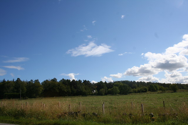
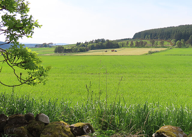
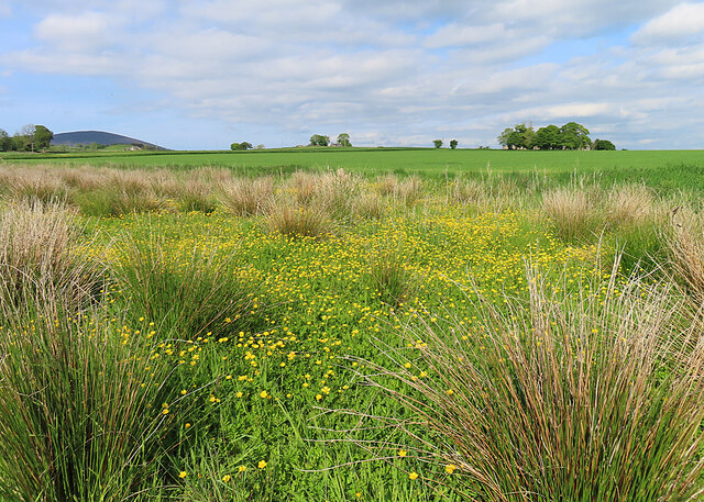
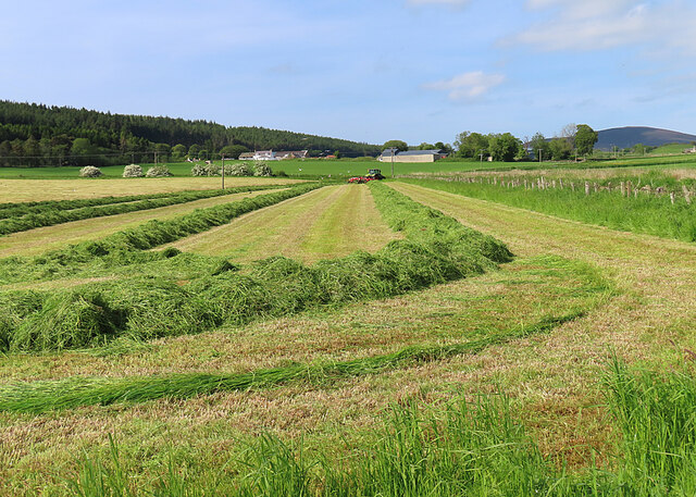
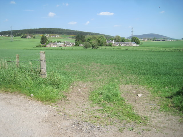
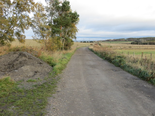
Viewfield Woods is a picturesque woodland located in Banffshire, Scotland. Covering an area of approximately 100 acres, the woods are a haven for nature enthusiasts and those seeking tranquility in a natural setting. The woods are situated on gently sloping terrain, with a mixture of mature trees and younger saplings creating a diverse and vibrant ecosystem.
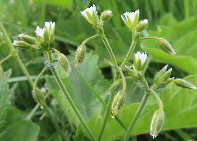
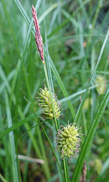
The main species of trees found in Viewfield Woods include oak, birch, beech, and Scots pine, among others. These towering trees provide a dense canopy, allowing only patches of dappled sunlight to filter through, creating an enchanting atmosphere. The forest floor is covered in a rich carpet of moss, ferns, and wildflowers, adding to the beauty of the surroundings.
The woods boast a variety of wildlife, making it an ideal spot for birdwatchers and animal lovers. Visitors may catch glimpses of red squirrels darting between the branches, or spot roe deer grazing in the clearings. The presence of numerous bird species, such as woodpeckers, owls, and various songbirds, makes Viewfield Woods a paradise for bird enthusiasts.
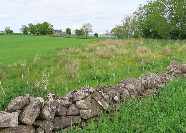
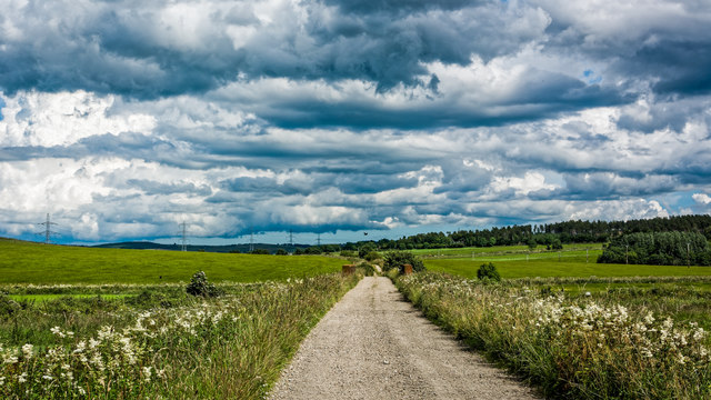
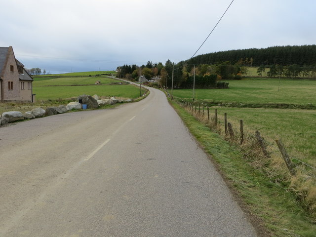
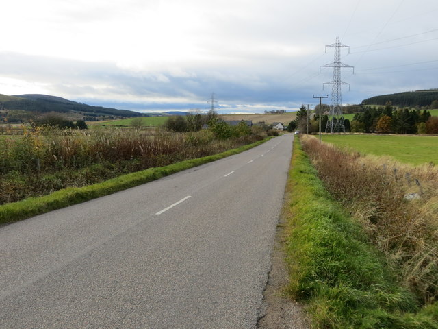
Several walking trails wind their way through the woods, offering visitors the opportunity to explore the forest's hidden gems. These paths lead to viewpoints overlooking the surrounding countryside, providing breathtaking vistas of rolling hills and distant mountains.
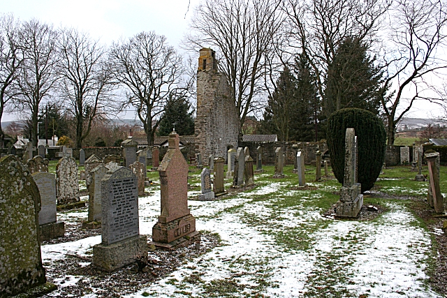
Viewfield Woods is not only a haven for nature, but it also holds historical significance. The woods are home to a few remnants of ancient settlements, including stone circles and burial mounds, which offer a glimpse into the area's rich past.
Overall, Viewfield Woods in Banffshire is a natural gem, offering a peaceful retreat for those seeking solace in the beauty of nature.
If you have any feedback on the listing, please let us know in the comments section below.
Viewfield Woods Images
Images are sourced within 2km of 57.530946/-2.8130471 or Grid Reference NJ5149. Thanks to Geograph Open Source API. All images are credited.


Viewfield Woods is located at Grid Ref: NJ5149 (Lat: 57.530946, Lng: -2.8130471)
Unitary Authority: Moray
Police Authority: North East
What 3 Words
///spouse.boot.tested. Near Keith, Moray
Nearby Locations
Related Wikis

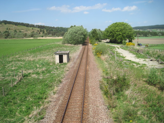
Cairnie Junction railway station
Cairnie Junction railway station served the village of Cairnie, Aberdeenshire, Scotland from 1898 to 1968 on the Great North of Scotland Railway. ��2...

Millegin railway station
Millegin railway station, Millagan railway station or later Millegin Siding was briefly an intermediate stop situated on what became the Great North of...

Daugh Castle
Daugh Castle was a castle, about 5 miles (8.0 km) north of Huntly, Aberdeenshire, Scotland, near Cairnie Burn. It was also known as Castle of the Daach...
Farmtown
Farmtown is a village in the Moray council area of Scotland. Farmtown lies on the junction of the A95 and B9117 roads east of the town of Keith.

Grange, Moray
Grange is a parish in the Scottish county of Banffshire that dates back to a royal charter granting the lands to the abbots and monks of Kinloss in 1196...

Grange railway station (Scotland)
Grange railway station was a railway station in the parish of Grange, historically in Banffshire (although currently in Moray). Opened in 1856 by the...
Ruthven, Aberdeenshire
Ruthven (, Gaelic: Ruadhainn), Aberdeenshire is a village in Scotland near Huntly (to the south east), and Keith (to the north west). It is traditionally...

River Isla, Moray
The River Isla (Scottish Gaelic: Uisge Ìle) is a tributary of the River Deveron in North-East Scotland. The area surrounding it is known as Strathisla...
Nearby Amenities
Located within 500m of 57.530946,-2.8130471Have you been to Viewfield Woods?
Leave your review of Viewfield Woods below (or comments, questions and feedback).