Burnside Wood

Wood, Forest in Angus

Scotland

Burnside Wood

Potato Field at Reswallie
Potato Field at Reswallie Credit: Sandy Gerrard

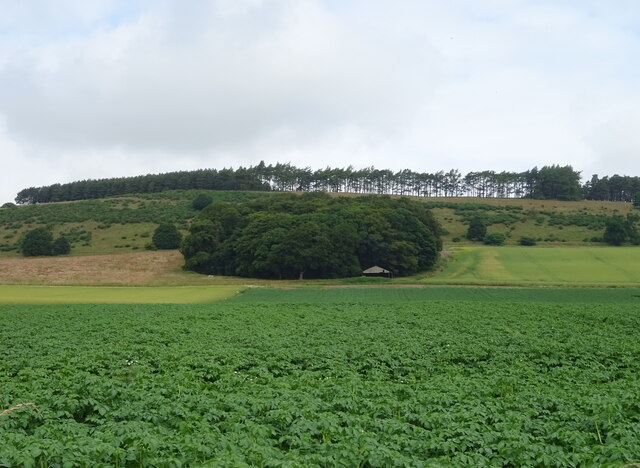
Burnside Wood is a picturesque forest located in the county of Angus, Scotland. Covering an area of approximately 100 acres, it is a popular destination for nature enthusiasts and hikers seeking a tranquil escape from the bustling city life.

The wood is predominantly made up of broadleaf trees, including oak, beech, and birch, which create a rich and diverse habitat for a wide range of wildlife. Visitors can expect to spot various bird species such as woodpeckers, owls, and thrushes, as well as small mammals like squirrels, rabbits, and voles.

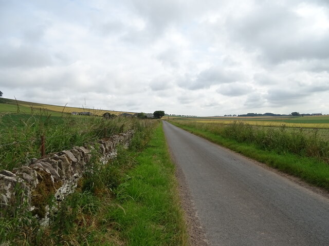
The forest is crisscrossed by a network of well-maintained trails, allowing visitors to explore its beauty at their own pace. Along the way, one can enjoy breathtaking views of the surrounding countryside, with rolling hills and meandering streams creating a picturesque backdrop.

Burnside Wood also boasts a small pond, which is home to several species of amphibians, including frogs and newts. This ecosystem provides a unique opportunity for nature enthusiasts to observe and learn about these fascinating creatures in their natural habitat.

For those interested in the history of the area, the wood is believed to have ancient origins, with evidence of human habitation dating back hundreds of years. Ruins of an old stone cottage can still be found within the forest, adding an air of mystery and intrigue to the surroundings.

Overall, Burnside Wood offers visitors a peaceful and serene environment to connect with nature, explore its trails, and immerse themselves in the beauty of the Scottish countryside.

If you have any feedback on the listing, please let us know in the comments section below.

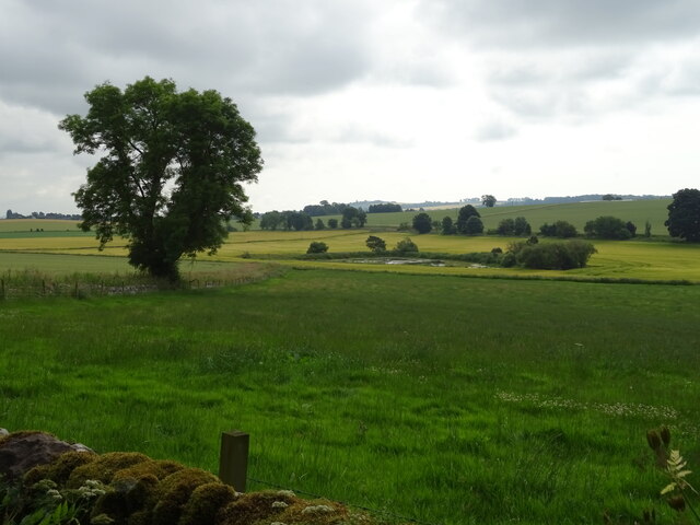
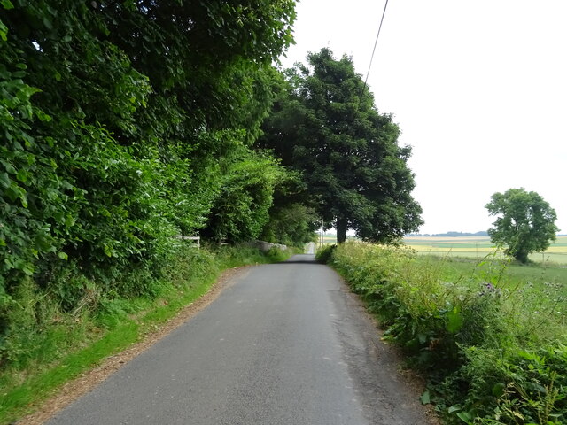
Burnside Wood Images

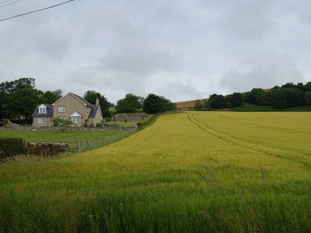
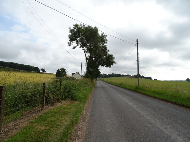
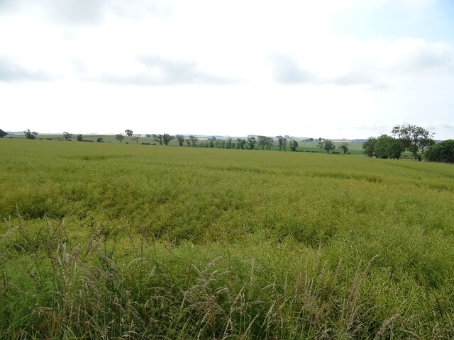
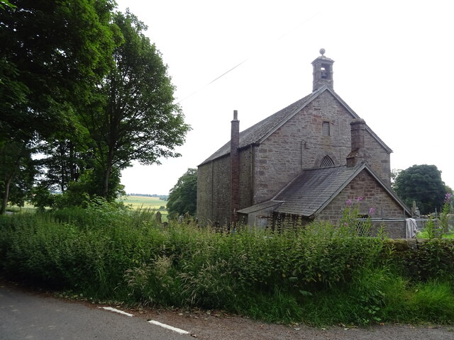
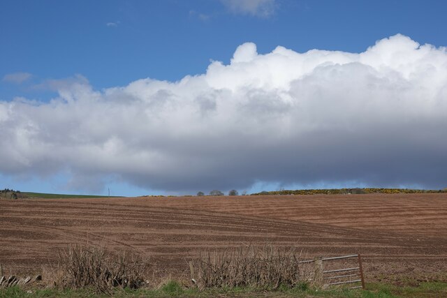
Images are sourced within 2km of 56.640306/-2.7992945 or Grid Reference NO5150. Thanks to Geograph Open Source API. All images are credited.

Potato Field at Reswallie
Cereal crop, West Mains of Dunnichen
Minor road, Dunnichen
Oilseed rape crop, Dunnichen Going to seed.
Oilseed rape crop, Dunnichen
Going to seed.
Dunnichen Parish Church
Grazing, Dunnichen
Grazing, Dunnichen
Minor road, Dunnichen  Towards East Mains of Dunnichen.
Minor road, Dunnichen
Towards East Mains of Dunnichen.
Potato crop, East Mains of Dunnichen  View towards Dunnichen Hill.
Potato crop, East Mains of Dunnichen
View towards Dunnichen Hill.
Minor road approaching East Mains of Dunnichen
Barn, East Mains of Dunnichen
Potato crop in flower, Drummietermont
Cereal crop towards Drummietermont
Minor road near Drummietermont Towards the A932.
Minor road near Drummietermont
Towards the A932.
The Girdlestane A roadside surprise with an illegible signboard behind it. The rock is smooth and grey which would indicate an erratic transported from elsewhere by ice. Then one notices a faint circle inscribed in the stone and also some prehistoric cup marks, so obviously a stone of some significance. In later times it has been used as a parish boundary marker, and one story about its arrival here concerns not a glacier, but a witch who was carrying the stone on her back when the ties broke and the stone fell here. Not quite sure why any witch, strong or otherwise, would want to carry this.
The Girdlestane
A roadside surprise with an illegible signboard behind it. The rock is smooth and grey which would indicate an erratic transported from elsewhere by ice. Then one notices a faint circle inscribed in the stone and also some prehistoric cup marks, so obviously a stone of some significance. In later times it has been used as a parish boundary marker, and one story about its arrival here concerns not a glacier, but a witch who was carrying the stone on her back when the ties broke and the stone fell here. Not quite sure why any witch, strong or otherwise, would want to carry this.
Potato crop and hedgerow near Finnieston
Farm road towards Newmill
Field near Rescobie Loch Newly ploughed and sewn field near Rescobie Loch.
Field near Rescobie Loch
Newly ploughed and sewn field near Rescobie Loch.
Autumn at Balgavies Loch Mixed woodland changing colour on the track at the western end of the Loch.
Autumn at Balgavies Loch
Mixed woodland changing colour on the track at the western end of the Loch.
Show me another place!

Burnside Wood is located at Grid Ref: NO5150 (Lat: 56.640306, Lng: -2.7992945)

Unitary Authority: Angus

Police Authority: Tayside

What 3 Words

///bars.animals.series. Near Letham, Angus

Nearby Locations

Burnside Wood

Related Wikis

Dunnichen

Dunnichen (Scots pronunciation: [dəˈnɪxən]; Scottish Gaelic: Dùn Eachain) is a small village in Angus, Scotland, situated between Letham and Forfar. It...

Rescobie Loch

Rescobie Loch is a post glacial fresh water body located in the parish of Rescobie, 4 km (2.5 mi) to the East of Forfar, in the county of Angus, Scotland...

Letham, Angus

Letham (Scots pronunciation: [ˈlɛθəm]) is a village in Angus, Scotland. Letham is the largest village in Angus, with a population of nearly 2,000. Situated...

Bowriefauld

Bowriefauld is a village in Angus, Scotland.

Nearby Amenities

Located within 500m of 56.640306,-2.7992945
Dunnichen Hill
Ele: 233
Natural: peak
Lat/Long: 56.6361797/-2.8025308
Man Made: mast
Lat/Long: 56.6369124/-2.8024361
Kippock Knowe
Natural: hill
Place: locality
Lat/Long: 56.6375995/-2.7938368
The data included in this document is from www.openstreetmap.org. The data is made available under ODbL.

Have you been to Burnside Wood?

Leave your review of Burnside Wood below (or comments, questions and feedback).