Gullet Wood

Wood, Forest in Roxburghshire

Scotland

Gullet Wood

Road to Stow, Wooplaw The minor road through farmland bordering Longpark windfarm.
Road to Stow, Wooplaw Credit: Jim Barton

The requested URL returned error: 429 Too Many Requests

If you have any feedback on the listing, please let us know in the comments section below.
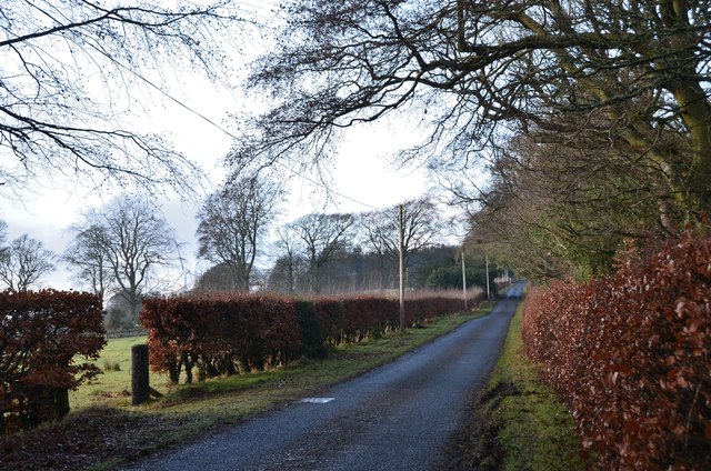
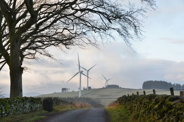
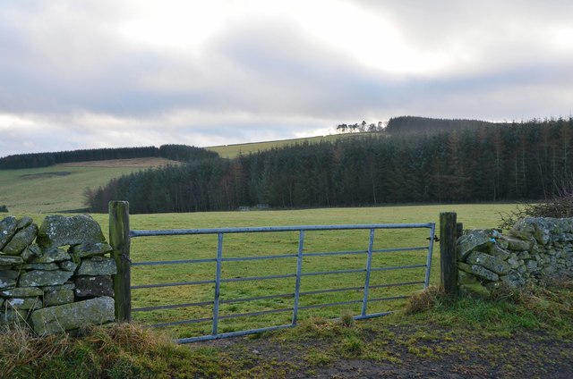
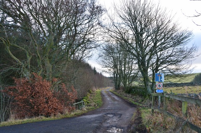
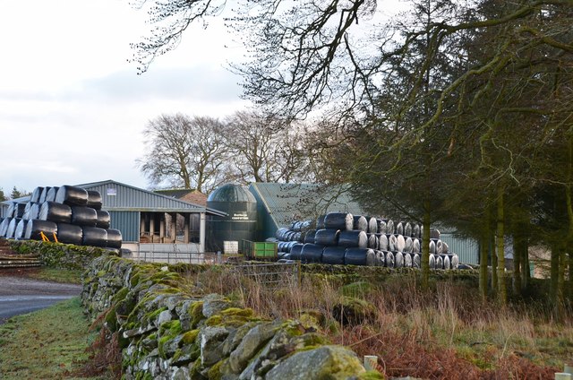
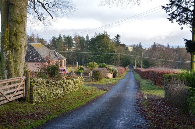
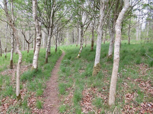
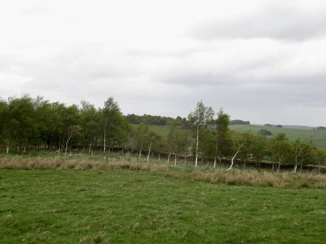
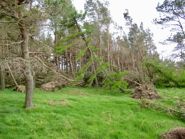
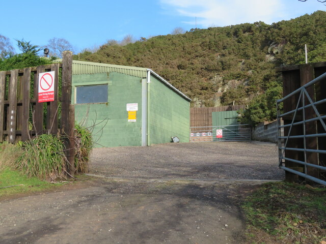
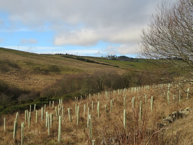
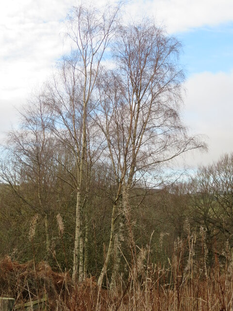
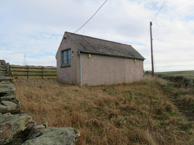
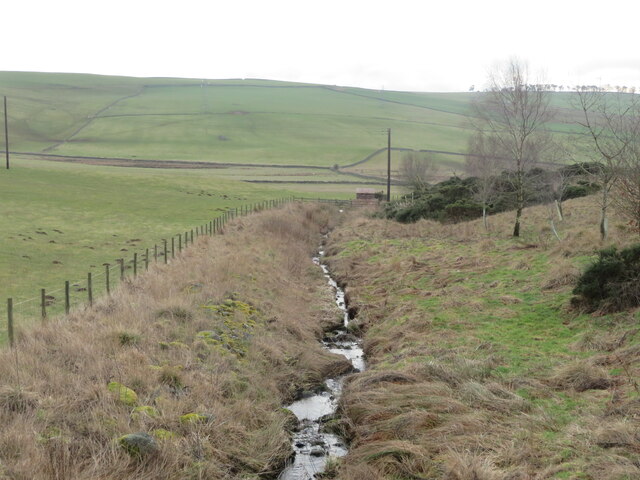
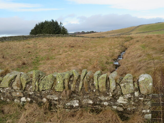
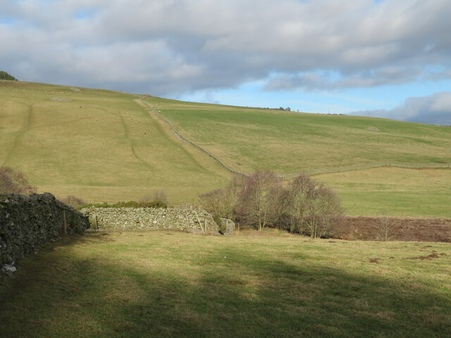
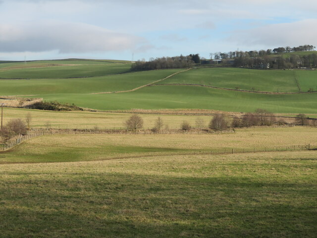
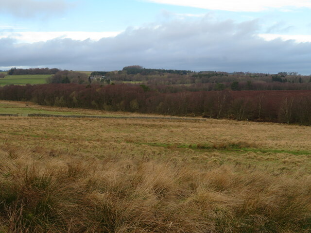
Gullet Wood Images

Images are sourced within 2km of 55.665783/-2.7848893 or Grid Reference NT5041. Thanks to Geograph Open Source API. All images are credited.

Road to Stow, Wooplaw The minor road through farmland bordering Longpark windfarm.
Road to Stow, Wooplaw
The minor road through farmland bordering Longpark windfarm.
Crest of the road at Wooplaw The road to Stow reaches 316m by the farm, here giving a view to the southernmost row of turbines in the Longpark wind farm.
Crest of the road at Wooplaw
The road to Stow reaches 316m by the farm, here giving a view to the southernmost row of turbines in the Longpark wind farm.
Farmland and plantations near Wooplaw Fields to the south of the minor road to Stow.
Farmland and plantations near Wooplaw
Fields to the south of the minor road to Stow.
Track to Hawksnest and Ladhopemuir The track passes Hawksnest farm and crosses farmland SSE to meet a minor road at Ladhopemuir north of Galashiels.
Track to Hawksnest and Ladhopemuir
The track passes Hawksnest farm and crosses farmland SSE to meet a minor road at Ladhopemuir north of Galashiels.
Wooplaw farm The name comes from the Norse 'uplaw' meaning a shallow valley at the top of a hill (from the information board at the Community Woodland). It is certainly on top of a hill as the land here is around 310m.
Wooplaw farm
The name comes from the Norse 'uplaw' meaning a shallow valley at the top of a hill (from the information board at the Community Woodland). It is certainly on top of a hill as the land here is around 310m.
Road east of Wooplaw The road meets the Langlee to Lauder road about 1km E of here.
Road east of Wooplaw
The road meets the Langlee to Lauder road about 1km E of here.
Path, Gullet Wood
Path, Gullet Wood
Stripwood, Blackcock Hill
Windthrow, Blackcock Plantation After the stormy Winter of 2021/2022 there were a lot of trees strewn about on the ground. Hilltop plantations like this were particularly vulnerable.
Windthrow, Blackcock Plantation
After the stormy Winter of 2021/2022 there were a lot of trees strewn about on the ground. Hilltop plantations like this were particularly vulnerable.
Shooting range in an old quarry The Joint Services Pistol Club range at Colmslie. It has had a makeover since Richard Webb visited in 2006 <a href="https://www.geograph.org.uk/photo/114684">NT5040 : Quarry on the Allan Water</a>.
Shooting range in an old quarry
The Joint Services Pistol Club range at Colmslie. It has had a makeover since Richard Webb visited in 2006 NT5040 : Quarry on the Allan Water.
Trees by the Allan Water A fairly steep sided valley of the Allan Water a tributary of the River Tweed, which it joins at Langlee, near Tweedbank, with new planting on the east bank.
Trees by the Allan Water
A fairly steep sided valley of the Allan Water a tributary of the River Tweed, which it joins at Langlee, near Tweedbank, with new planting on the east bank.
Birch tree in Gullet Wood Part of the Wooplaw Community Woodland.
Birch tree in Gullet Wood
Part of the Wooplaw Community Woodland.
Telephone Exchange near Langshaw In what might be described as 'the middle of nowhere'.
Telephone Exchange near Langshaw
In what might be described as 'the middle of nowhere'.
The Moss Burn A tributary of the Allan Water, near Langshaw. The small building will be connected with the hydraulic ram on the burn, marked on the map.
The Moss Burn
A tributary of the Allan Water, near Langshaw. The small building will be connected with the hydraulic ram on the burn, marked on the map.
The Moss Burn Looking north from the bridge over. A tributary of the Allan Water.
The Moss Burn
Looking north from the bridge over. A tributary of the Allan Water.
Pastures near Allan Water Looking down to the Allan Water, and beyond.
Pastures near Allan Water
Looking down to the Allan Water, and beyond.
The valley of the Allan Water Looking east across the valley to Over Langshaw.
The valley of the Allan Water
Looking east across the valley to Over Langshaw.
Rough grassland near Threepwood With Birch woodland along the course of the Moss Burn.
Rough grassland near Threepwood
With Birch woodland along the course of the Moss Burn.
Show me another place!

Gullet Wood is located at Grid Ref: NT5041 (Lat: 55.665783, Lng: -2.7848893)

Unitary Authority: The Scottish Borders

Police Authority: The Lothians and Scottish Borders

What 3 Words

///ears.sprayed.dislikes. Near Galashiels, Scottish Borders

Related Wikis

Allanshaws

Allanshaws is a place and farm off the B6362, in Lauderdale, by the Allan Water, in the parish of Melrose in the Scottish Borders area of Scotland, formerly...

Buckholm

Buckholm is a farm near to the A7, in the Scottish Borders, Galashiels area of Scotland. Places nearby include Abbotsford, the Bow Castle Broch, Clovenfords...

Bow Castle Broch

Bow Castle is the remains of an iron-age broch near the Gala Water, in the Scottish Borders area of Scotland, in the parish of Stow. It is a scheduled...

Galashiels Golf Club

Galashiels Golf Club is a golf course to the north of Galashiels, Scotland. The course was reduced from 18 holes to 9 holes in 2008. == History == Founded...

Nearby Amenities

Located within 500m of 55.665783,-2.7848893
Barrier: stile
Lat/Long: 55.6668971/-2.7852457
Leisure: picnic_table
Lat/Long: 55.6640453/-2.7869184
Barrier: stile
Lat/Long: 55.6689684/-2.786092
Bench
Lat/Long: 55.6700778/-2.7872027
Bench
Lat/Long: 55.6686661/-2.7902578
Tim Stead
Historic: memorial
Material: wood
Memorial: statue
Lat/Long: 55.6686465/-2.7900378
Tim Stead
Cemetery: grave
Lat/Long: 55.6686329/-2.7900834
Power: pole
Lat/Long: 55.6630944/-2.7798269
Power: pole
Lat/Long: 55.6633029/-2.7812369
Power: pole
Lat/Long: 55.6634203/-2.782031
Power: pole
Lat/Long: 55.6636371/-2.7834308
Power: pole
Lat/Long: 55.6638538/-2.7848102
Power: pole
Lat/Long: 55.6639529/-2.7853828
Power: pole
Lat/Long: 55.6641323/-2.7864365
Power: pole
Lat/Long: 55.6643792/-2.7878032
Power: pole
Lat/Long: 55.6646017/-2.7891343
Power: pole
Lat/Long: 55.66484/-2.7904807
Power: pole
Lat/Long: 55.6650769/-2.7918423
Power: pole
Lat/Long: 55.663838/-2.7806719
Power: pole
Lat/Long: 55.6643591/-2.7801196
Power: pole
Lat/Long: 55.6647955/-2.7796564
Power: pole
Lat/Long: 55.665242/-2.7792034
Power: pole
Lat/Long: 55.665819/-2.7786155
Power: pole
Lat/Long: 55.6665942/-2.778987
Power: pole
Lat/Long: 55.6673306/-2.7793484
Power: pole
Lat/Long: 55.6680885/-2.7797022
Power: pole
Lat/Long: 55.6688291/-2.7800509
The data included in this document is from www.openstreetmap.org. The data is made available under ODbL.

Have you been to Gullet Wood?

Leave your review of Gullet Wood below (or comments, questions and feedback).