Brownhill Plantation
Wood, Forest in Aberdeenshire
Scotland
Brownhill Plantation
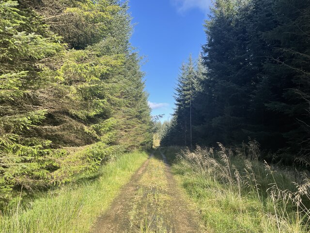
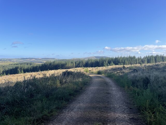
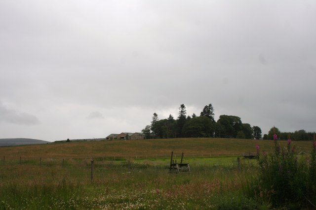
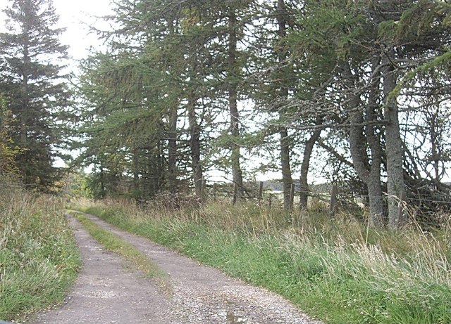
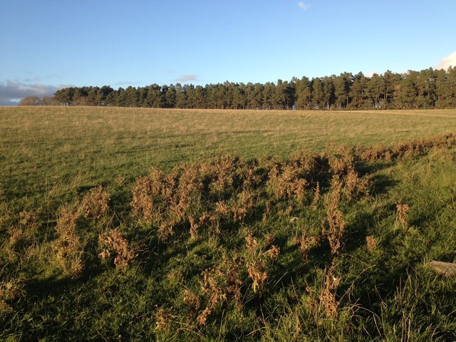
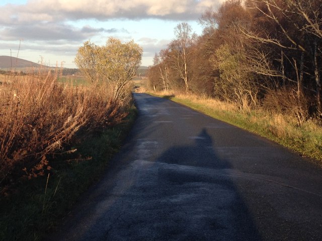
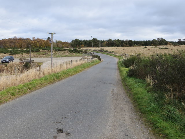
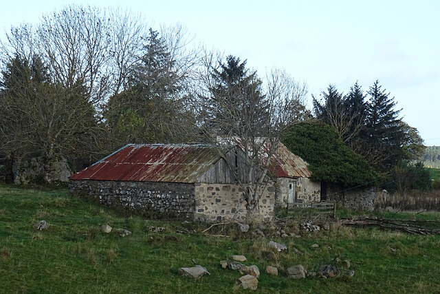
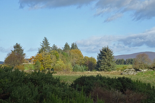
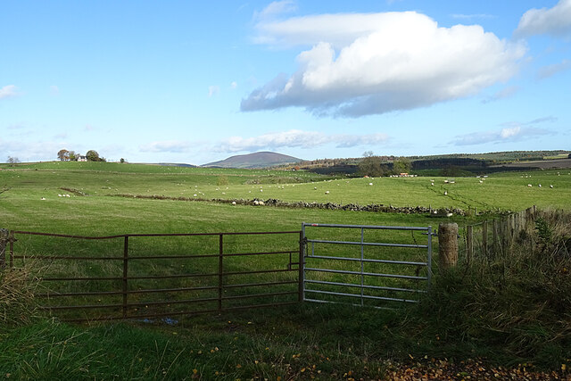
Brownhill Plantation is a picturesque woodland located in Aberdeenshire, Scotland. Situated near the village of Banchory, it covers an area of approximately 500 acres and is known for its diverse range of tree species and natural beauty.
The plantation is primarily composed of native Scots pine trees, which dominate the landscape with their tall, slender trunks and characteristic orange-brown bark. These trees provide a habitat for various wildlife species, including red squirrels, roe deer, and a variety of bird species such as woodpeckers and owls.
In addition to the Scots pines, Brownhill Plantation also features a mix of broadleaf trees such as oak, beech, and birch. This creates a rich and vibrant woodland environment, especially during the autumn months when the leaves turn into a stunning array of colors.
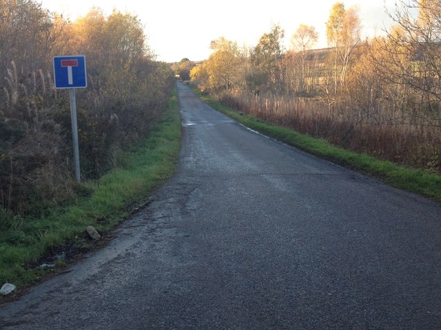
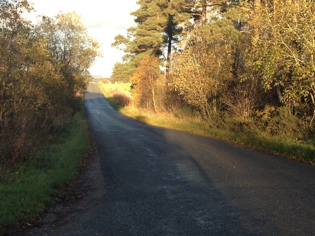
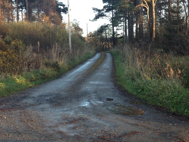
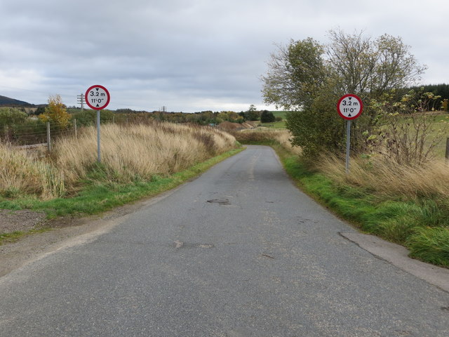
Visitors to Brownhill Plantation can enjoy a network of well-maintained walking trails that meander through the woodland, offering breathtaking views of the surrounding countryside. There are also picnic areas and benches strategically placed along the paths, providing opportunities for visitors to rest and take in the peaceful ambiance of the plantation.
The plantation is managed by the local forestry commission, which ensures the preservation of its natural features and the sustainable harvesting of timber. As a result, Brownhill Plantation serves as a valuable educational and recreational resource for both locals and tourists, offering a tranquil escape from the hustle and bustle of everyday life.
If you have any feedback on the listing, please let us know in the comments section below.
Brownhill Plantation Images
Images are sourced within 2km of 57.501186/-2.8254842 or Grid Reference NJ5045. Thanks to Geograph Open Source API. All images are credited.


Brownhill Plantation is located at Grid Ref: NJ5045 (Lat: 57.501186, Lng: -2.8254842)
Unitary Authority: Aberdeenshire
Police Authority: North East
What 3 Words
///performs.hopefully.cringes. Near Huntly, Aberdeenshire
Nearby Locations
Related Wikis
Ruthven, Aberdeenshire
Ruthven (, Gaelic: Ruadhainn), Aberdeenshire is a village in Scotland near Huntly (to the south east), and Keith (to the north west). It is traditionally...

Auchanachie Castle
Auchanachie Castle, also known as Achanachie Castle or Auchanachy Castle, is a tower house dating from the sixteenth century, 5 miles north-west of Huntly...
Daugh Castle
Daugh Castle was a castle, about 5 miles (8.0 km) north of Huntly, Aberdeenshire, Scotland, near Cairnie Burn. It was also known as Castle of the Daach...

Rothiemay railway station
Rothiemay railway station served the village of Milltown of Rothiemay, Aberdeenshire, Scotland from 1856 to 1968 on the Great North of Scotland Railway...

Avochie Castle
Avochie Castle is a ruined tower house, dating from the 16th century, or early 17th century, around 4.5 miles (7.2 km) north of Huntly, east of the river...
Cairnie
Cairnie, also written Cairney, (Scottish Gaelic: Càrnaidh/A' Chàrnaich) is a village in Aberdeenshire, Scotland. It is in the district of Huntly. It has...

River Isla, Moray
The River Isla (Scottish Gaelic: Uisge Ìle) is a tributary of the River Deveron in North-East Scotland. The area surrounding it is known as Strathisla...
Clean Pool
Clean Pool was an important boundary marker between the parishes of Huntly and Cairnie, Aberdeenshire, Scotland. It has now been dried up to plant conifer...
Nearby Amenities
Located within 500m of 57.501186,-2.8254842Have you been to Brownhill Plantation?
Leave your review of Brownhill Plantation below (or comments, questions and feedback).