Ladhope Moor

Wood, Forest in Roxburghshire

Scotland

Ladhope Moor

Pastures near Allan Water Looking down to the Allan Water, and beyond.
Pastures near Allan Water Credit: M J Richardson

Ladhope Moor is a picturesque wood or forest located in the region of Roxburghshire, Scotland. Situated near the town of Galashiels, the moor covers a vast area and is known for its natural beauty and diverse wildlife.

The moor is characterized by its dense, lush vegetation, which consists mainly of various species of trees, including oak, birch, and pine. These trees create a dense canopy that provides shade and shelter for numerous animals and birds that call Ladhope Moor their home. The forest floor is covered with a thick layer of moss and ferns, adding to the overall enchanting atmosphere.

The wildlife in Ladhope Moor is abundant and varied. Visitors can spot a wide range of bird species, such as woodpeckers, owls, and various songbirds. The forest is also home to mammals like deer, foxes, and badgers, which can often be seen roaming among the trees. Additionally, the moor is known for its diverse insect population, including butterflies, bees, and beetles.

Ladhope Moor offers a peaceful and tranquil environment, making it a popular destination for nature enthusiasts and hikers. There are several well-maintained walking trails that allow visitors to explore the beauty of the forest while enjoying the fresh air and beautiful scenery.

Overall, Ladhope Moor is a stunning wood or forest that showcases the natural beauty and biodiversity of Roxburghshire. With its diverse flora and fauna, it provides a unique opportunity for visitors to connect with nature and experience the tranquility of the great outdoors.

If you have any feedback on the listing, please let us know in the comments section below.
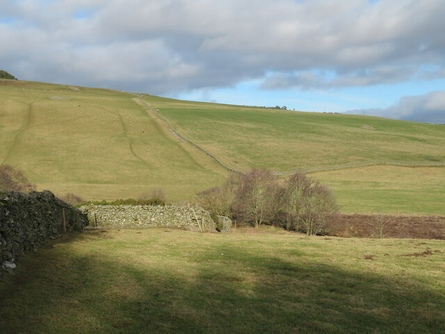
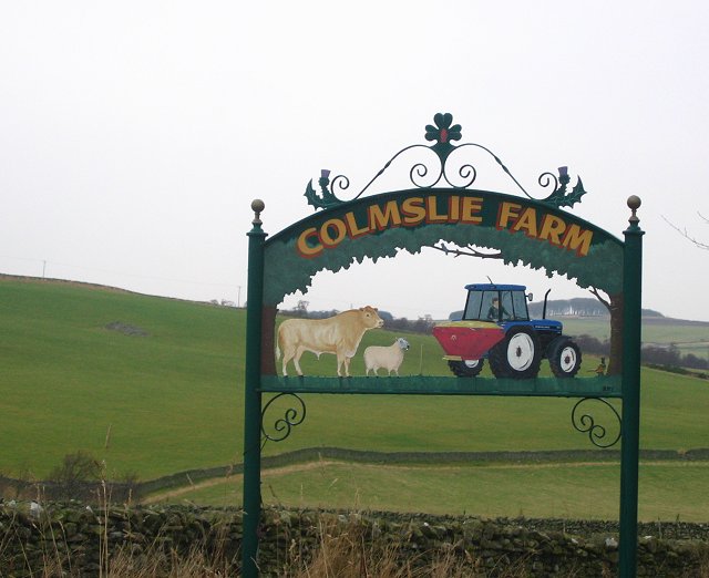
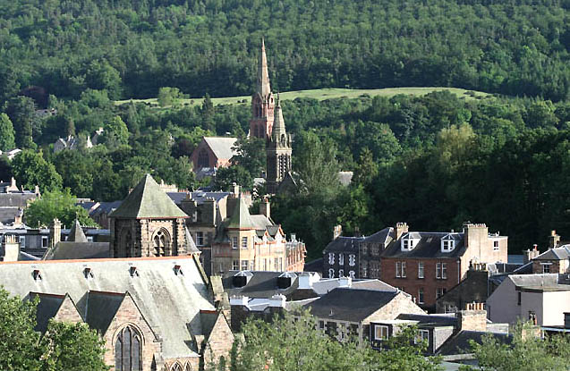
Ladhope Moor Images

Images are sourced within 2km of 55.637245/-2.7905773 or Grid Reference NT5038. Thanks to Geograph Open Source API. All images are credited.

Pastures near Allan Water Looking down to the Allan Water, and beyond.
Pastures near Allan Water
Looking down to the Allan Water, and beyond.
Field, Langshaw
Field, Langshaw
The Allan Water The water level was low after a long spell of dry summer weather.
The Allan Water
The water level was low after a long spell of dry summer weather.
Crossing The Allan Water This bridge crosses the Allan Water near Langshaw.
Crossing The Allan Water
This bridge crosses the Allan Water near Langshaw.
Allan Valley View Looking across the farmland of the Allan Valley between Langshaw and Lauder in mid-July evening sunlight.
Allan Valley View
Looking across the farmland of the Allan Valley between Langshaw and Lauder in mid-July evening sunlight.
In The Allan Valley Dry-stane dykes mark the field boundaries in this grazing area near Langshaw.
In The Allan Valley
Dry-stane dykes mark the field boundaries in this grazing area near Langshaw.
Allan Water, Langshaw
Allan Water Largish burn running south from the hill country around Sell Muir. View E near Langshaw.
Allan Water
Largish burn running south from the hill country around Sell Muir. View E near Langshaw.
Farm sign near Langshaw, Roxburghshire A colourful example.
Farm sign near Langshaw, Roxburghshire
A colourful example.
Sign at Colmslie Farm On The Buckholm road, Scottish Borders
Sign at Colmslie Farm
On The Buckholm road, Scottish Borders
Burn on the way to Lauder This wee burn flows just north of Langshaw on the Lauder road
Burn on the way to Lauder
This wee burn flows just north of Langshaw on the Lauder road
Heading to Over Langshaw A burn north of Langshaw
Heading to Over Langshaw
A burn north of Langshaw
The Auld Brig Bridge over the burn near Langshaw
The Auld Brig
Bridge over the burn near Langshaw
Farmland at Langshaw Evening August sunshine highlights a mixture of grass and cereal crop fields.
Farmland at Langshaw
Evening August sunshine highlights a mixture of grass and cereal crop fields.
On the farm road from Ladhopemuir to Hawksnest
Stone Clearing, Hawksnest
Access road, Ladhope Moor Taken 16 years after <a href="https://www.geograph.org.uk/photo/114635">NT4939 : Ladhope Moor</a>.
Access road, Ladhope Moor
Taken 16 years after NT4939 : Ladhope Moor.
Buckholm View across to Meigle Hill, now without the trees at the top.
Buckholm
View across to Meigle Hill, now without the trees at the top.
Show me another place!

Ladhope Moor is located at Grid Ref: NT5038 (Lat: 55.637245, Lng: -2.7905773)

Unitary Authority: The Scottish Borders

Police Authority: The Lothians and Scottish Borders

What 3 Words

///nicknames.bath.deriving. Near Galashiels, Scottish Borders

Nearby Locations

Picts' Hill Ladhope Moor

Related Wikis

Nearby Amenities

Located within 500m of 55.637245,-2.7905773
Ladhope Moor
Ele: 320
Natural: peak
Lat/Long: 55.6363319/-2.792685
The data included in this document is from www.openstreetmap.org. The data is made available under ODbL.

Have you been to Ladhope Moor?

Leave your review of Ladhope Moor below (or comments, questions and feedback).