Pilmuir Wood

Wood, Forest in Berwickshire

Scotland

Pilmuir Wood

Girthgate, above Bowerhouse With some cable drums. This is the access road to Inchkeith.
Girthgate, above Bowerhouse Credit: Richard Webb

The requested URL returned error: 429 Too Many Requests

If you have any feedback on the listing, please let us know in the comments section below.
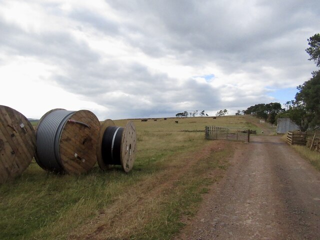
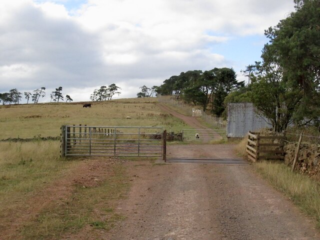
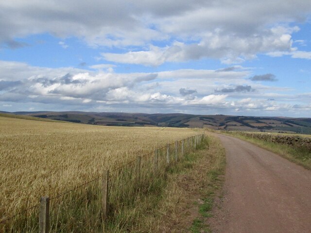
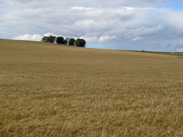
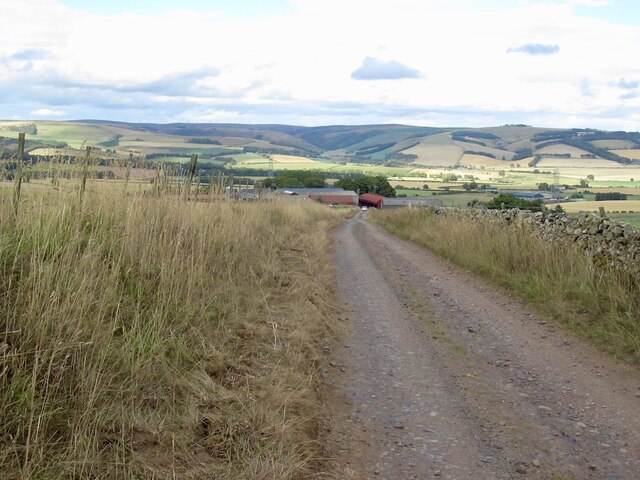
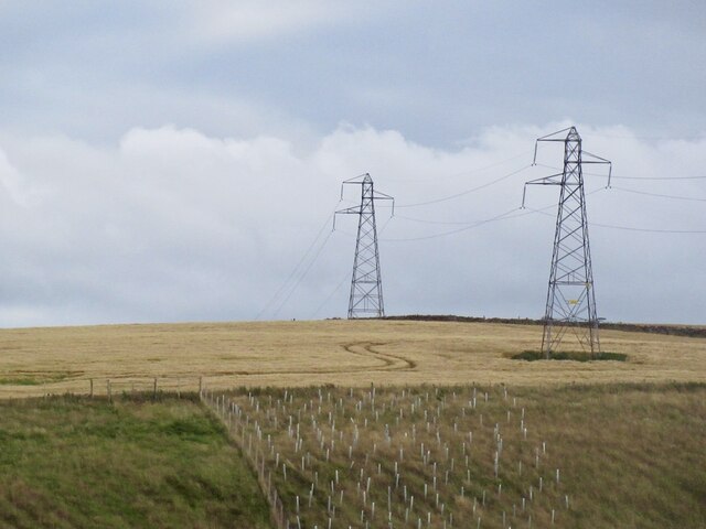
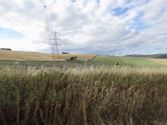
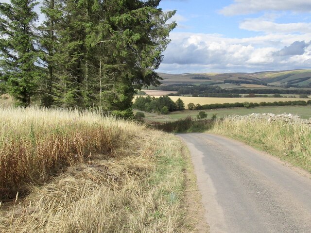
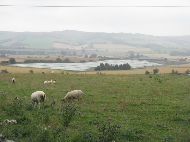
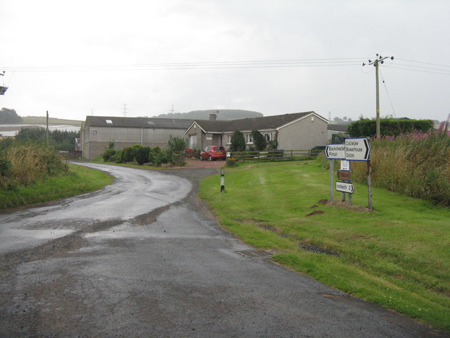
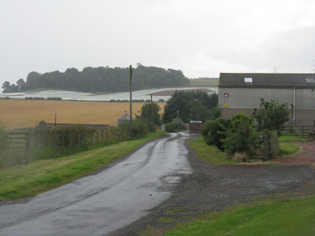
Pilmuir Wood Images

Images are sourced within 2km of 55.742463/-2.7949658 or Grid Reference NT5050. Thanks to Geograph Open Source API. All images are credited.

Girthgate, above Bowerhouse With some cable drums. This is the access road to Inchkeith.
Girthgate, above Bowerhouse
With some cable drums. This is the access road to Inchkeith.
Girthgate, above Bowerhouse The road from Inchkeith turns sharp right here for the descent from the ridge.
Girthgate, above Bowerhouse
The road from Inchkeith turns sharp right here for the descent from the ridge.
The Inchkeith road Descending to Bowerhouse.
The Inchkeith road
Descending to Bowerhouse.
Barley on Collie Law
Road above Bowerhouse View across Lauderdale from the Inchkeith road.
Road above Bowerhouse
View across Lauderdale from the Inchkeith road.
Power line near Lauder Between Bowerhouse and Inchkeith.
Power line near Lauder
Between Bowerhouse and Inchkeith.
Power line, Bowerhouse One of two running along the ridge west of Lauder. This one is currently being refurbished and connects with the substation at Eccles.
Power line, Bowerhouse
One of two running along the ridge west of Lauder. This one is currently being refurbished and connects with the substation at Eccles.
Road from Bowerhouse
Wiselawmill Farm sign A farm sign by the A 68 with a rugby ball.
Wiselawmill Farm sign
A farm sign by the A 68 with a rugby ball.
Cottage at Blackburn Blackburn is a farm on the west side of the A68 near to Lauder; the cottage lies to the north of the farmhouse.
Cottage at Blackburn
Blackburn is a farm on the west side of the A68 near to Lauder; the cottage lies to the north of the farmhouse.
Arable land near Midburn Turnips surrounded by barley.
Arable land near Midburn
Turnips surrounded by barley.
Ploughed field near Shielfield View past the A68 towards the Lammermuir Hills.
Ploughed field near Shielfield
View past the A68 towards the Lammermuir Hills.
Upturned troughs Awaiting the return of sheep to this field.
Upturned troughs
Awaiting the return of sheep to this field.
Mobile mast, Blackchester Good line of sight down Lauderdale.
Mobile mast, Blackchester
Good line of sight down Lauderdale.
View of the Lammermuir Hills Looking past the Smeaton to Eccles power lines across the head of Lauderdale.
View of the Lammermuir Hills
Looking past the Smeaton to Eccles power lines across the head of Lauderdale.
Lauderdale Looking over the valley from Bowerhouse, with a fleece/plastic-protected crop prominent. If fleece, this is often to protect carrots or brassicas from attack by insects, instead of using insecticides
Lauderdale
Looking over the valley from Bowerhouse, with a fleece/plastic-protected crop prominent. If fleece, this is often to protect carrots or brassicas from attack by insects, instead of using insecticides
Road junction at Midburn Cottage and farm buildings.
Road junction at Midburn
Cottage and farm buildings.
Midburn farm The woodland in the next square south hides the fort and settlement of Blackchester.
Midburn farm
The woodland in the next square south hides the fort and settlement of Blackchester.
Show me another place!

Pilmuir Wood is located at Grid Ref: NT5050 (Lat: 55.742463, Lng: -2.7949658)

Unitary Authority: The Scottish Borders

Police Authority: The Lothians and Scottish Borders

What 3 Words

///finishers.dreaming.poorly. Near Lauder, Scottish Borders

Nearby Locations

Pilmuir Wood

Related Wikis

Addinston

Addinston is a farming village, off the A697, close to the Carfraemill roundabout, with two hill forts and settlements, in Lauderdale in the Scottish...

Lauder railway station

Lauder railway station served the town of Lauder, Berwickshire, Scotland, from 1901 to 1958. It was situated on the Lauder Light Railway. == History... ==

Lauderdale

Lauderdale is the valley of the Leader Water (a tributary of the Tweed) in the Scottish Borders. It contains the town of Lauder, as well as Earlston. The...

Oxton, Scottish Borders

Oxton is a small rural village in the Scottish Borders area of Scotland, just off the A68. It is 4+1⁄2 miles (7 kilometres) north of Lauder, and 20 mi...

Nearby Amenities

Located within 500m of 55.742463,-2.7949658
Design: barrel
Power: tower
Lat/Long: 55.7444306/-2.7918453
Design: barrel
Power: tower
Lat/Long: 55.7392761/-2.7910256
Design: barrel
Power: tower
Lat/Long: 55.7462328/-2.7954424
Design: barrel
Power: tower
Lat/Long: 55.7419041/-2.7914435
Power: pole
Lat/Long: 55.7387865/-2.798644
Power: pole
Lat/Long: 55.7395631/-2.7986567
Power: pole
Lat/Long: 55.7403525/-2.7986924
Power: pole
Lat/Long: 55.7411534/-2.7987051
Power: pole
Lat/Long: 55.7419471/-2.7987051
Power: pole
Lat/Long: 55.742546/-2.799064
Power: pole
Lat/Long: 55.7431477/-2.7994203
Power: pole
Lat/Long: 55.743758/-2.7998148
Power: pole
Lat/Long: 55.7444872/-2.7998606
Power: pole
Lat/Long: 55.745245/-2.7999267
Power: pole
Lat/Long: 55.745947/-2.799998
The data included in this document is from www.openstreetmap.org. The data is made available under ODbL.

Have you been to Pilmuir Wood?

Leave your review of Pilmuir Wood below (or comments, questions and feedback).