Halfcrown Corner Covert
Wood, Forest in Roxburghshire
Scotland
Halfcrown Corner Covert
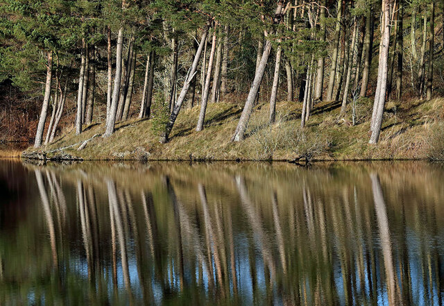
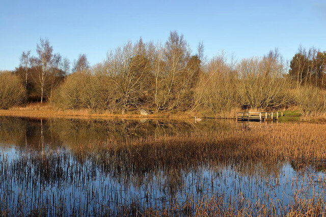
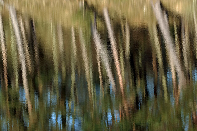
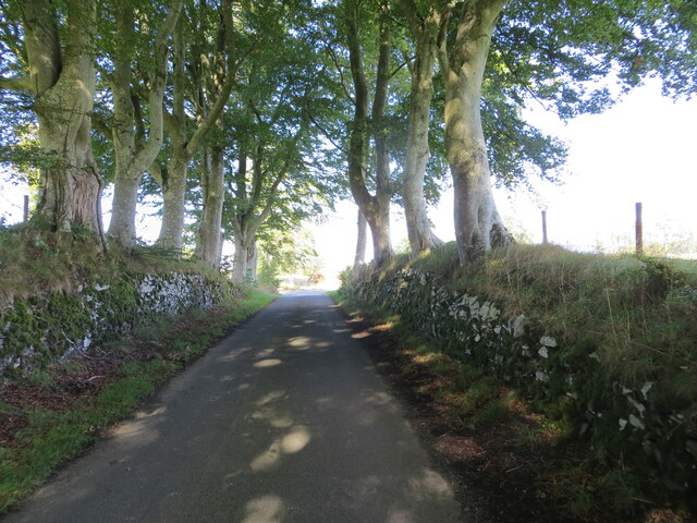
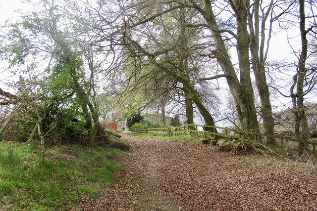
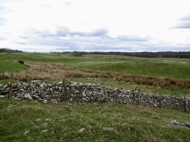
Halfcrown Corner Covert is a vast woodland located in Roxburghshire, Scotland. Spanning over several miles, it encompasses a diverse range of tree species, making it a significant forest in the area. The covert is situated in a picturesque landscape, surrounded by rolling hills and meandering streams that add to its natural beauty.
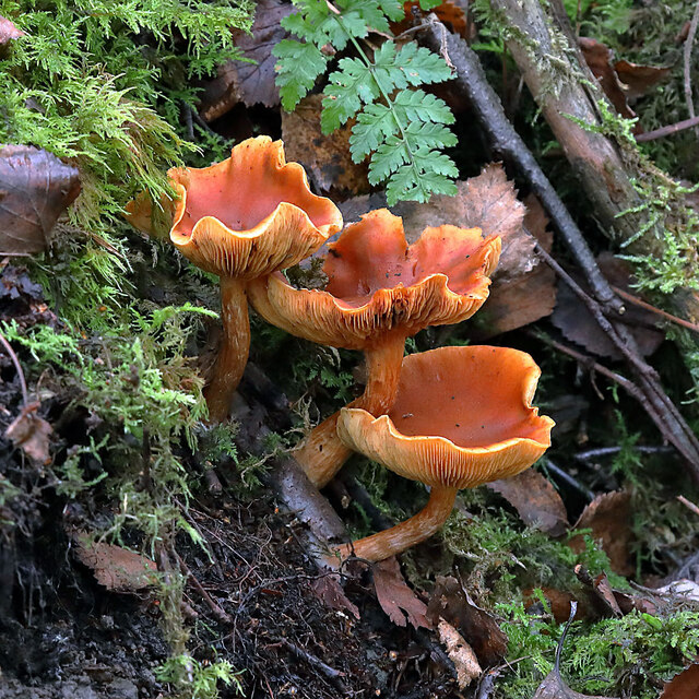
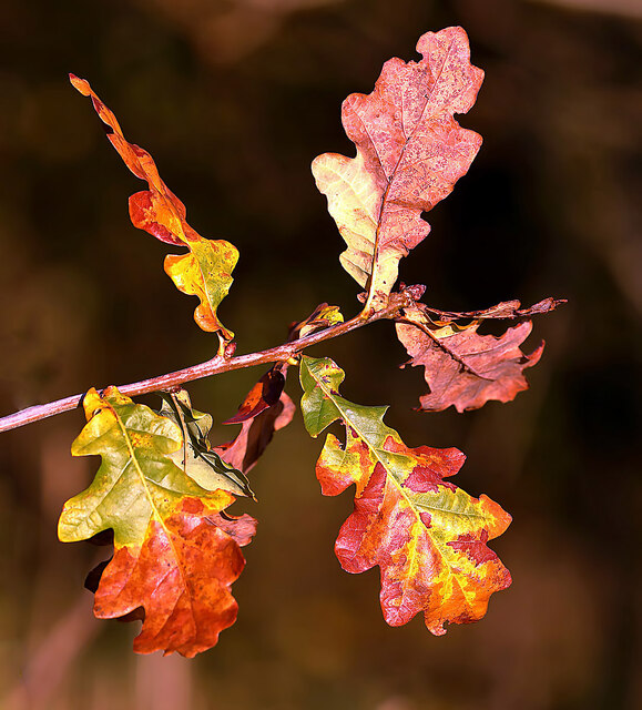
The woodland is predominantly made up of native trees such as oak, birch, and beech, which provide a rich habitat for a variety of wildlife. The dense canopy created by these trees offers shelter and nesting sites for numerous bird species including woodpeckers, owls, and thrushes. The forest floor is adorned with a vibrant carpet of wildflowers during the summer months, attracting butterflies and other insects.
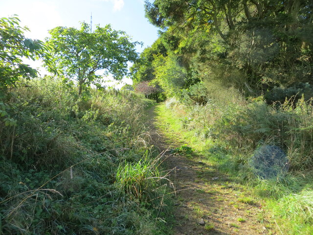
Halfcrown Corner Covert is a popular destination for nature enthusiasts and hikers, offering a network of well-maintained trails that wind through the forest. These paths provide an opportunity to explore the diverse ecosystem and observe the flora and fauna at close proximity. The tranquil atmosphere of the woodland is often interrupted by the melodic sounds of birdsong, creating a serene ambiance for visitors.
In addition to its natural beauty, the woodland also has historical significance. It is believed that the area was once part of a larger estate and evidence of ancient settlements can still be found within the covert. This adds another layer of interest for those interested in the region's rich history.
Overall, Halfcrown Corner Covert in Roxburghshire is a captivating woodland that offers a haven for wildlife, a sanctuary for nature lovers, and a glimpse into the area's past.
If you have any feedback on the listing, please let us know in the comments section below.
Halfcrown Corner Covert Images
Images are sourced within 2km of 55.559544/-2.7923453 or Grid Reference NT5029. Thanks to Geograph Open Source API. All images are credited.
Halfcrown Corner Covert is located at Grid Ref: NT5029 (Lat: 55.559544, Lng: -2.7923453)
Unitary Authority: The Scottish Borders
Police Authority: The Lothians and Scottish Borders
What 3 Words
///poem.euphoric.reporter. Near Selkirk, Scottish Borders
Nearby Locations
Related Wikis

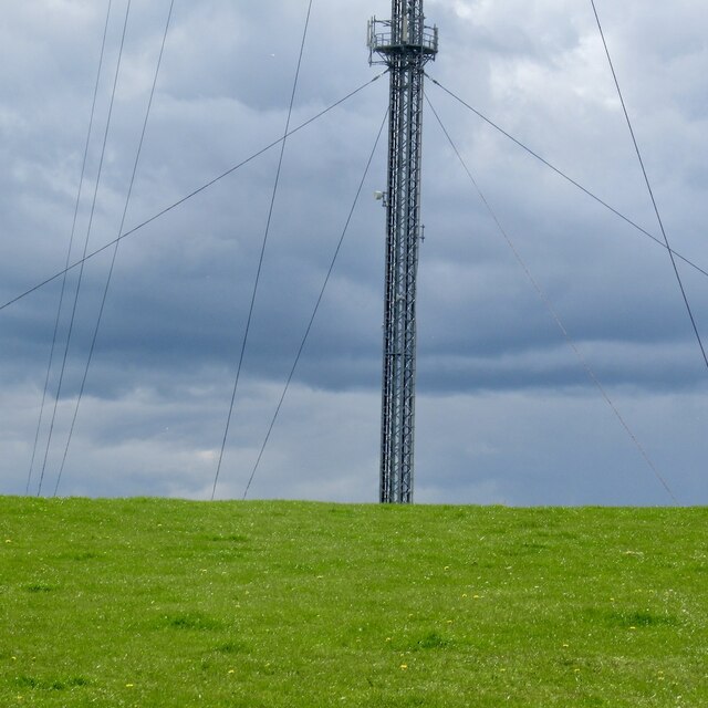
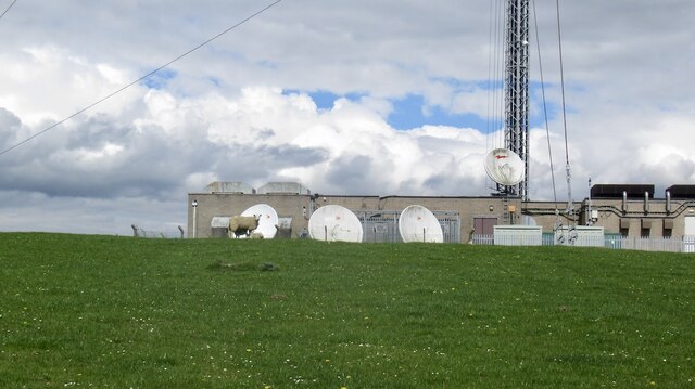
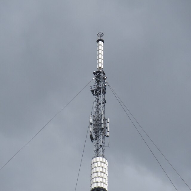
Selkirk transmitting station
The Selkirk transmitting station is a telecommunications facility located next to Lindean Loch, near Selkirk in the Scottish Borders. It includes a 229...

Lindean
Lindean is a village north of Selkirk and the Ettrick Water, in the Scottish Borders area of Scotland. In 1590 the parishioners of Lindean had permission...
Bridgelands
Bridgelands is a village and an 18th-century house in the Scottish Borders area of Scotland, in the parish of Selkirk. Sir Henry Raeburn's wife came from...
Lindean railway station
Lindean railway station served the village of Lindean, Scottish Borders, Scotland, from 1856 to 1964 on the Selkirk and Galashiels Railway. == History... ==
Nearby Amenities
Located within 500m of 55.559544,-2.7923453Have you been to Halfcrown Corner Covert?
Leave your review of Halfcrown Corner Covert below (or comments, questions and feedback).