Bankend Wood

Wood, Forest in Roxburghshire

Scotland

Bankend Wood

B6357 approaching Newcastleton
B6357 approaching Newcastleton Credit: Steven Brown

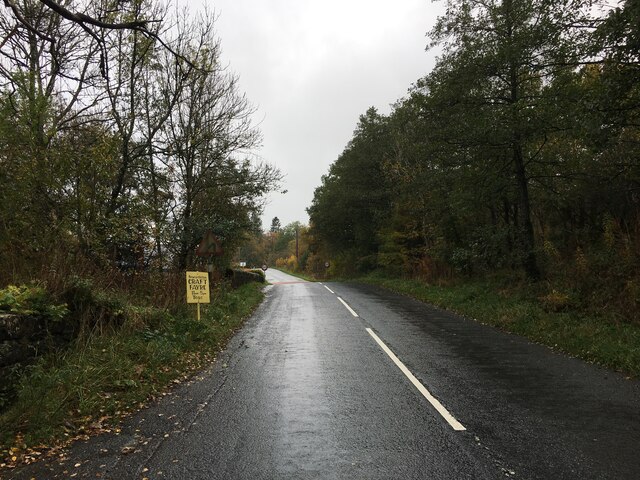
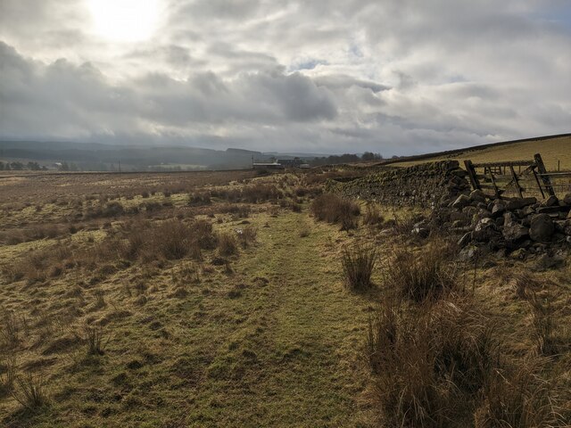
Bankend Wood is a picturesque forest located in Roxburghshire, a historic county in the Scottish Borders region of Scotland. Covering an area of approximately 100 acres, the wood is a popular destination for nature enthusiasts, walkers, and birdwatchers.

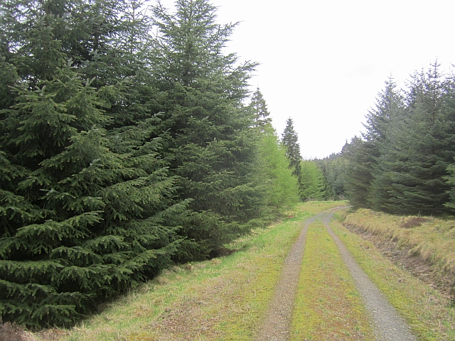
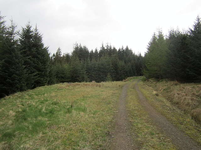
The wood is predominantly composed of native broadleaf trees, with a diverse range of species including oak, ash, beech, and birch. These trees create a dense canopy that provides a habitat for a variety of wildlife. Visitors to Bankend Wood can expect to encounter a range of bird species such as woodpeckers, thrushes, and tits, as well as small mammals like squirrels and rabbits.

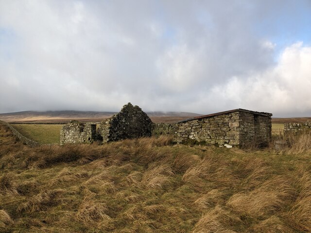
Traversing through the wood, visitors will find well-maintained paths that offer a chance to explore the natural beauty of the area. These paths wind through the forest, leading to open clearings and secluded spots, perfect for picnics or simply enjoying the tranquility of the surroundings. The wood also features a small pond, adding to the diversity of habitats within the area.

Bankend Wood is a designated Site of Special Scientific Interest (SSSI), recognized for its ecological importance. The preservation of this woodland is vital for the conservation of the local biodiversity and ecosystem. Consequently, visitors are encouraged to respect the environment, stick to designated paths, and refrain from disturbing or removing any flora or fauna.

Overall, Bankend Wood offers a serene escape into nature, providing an opportunity to appreciate the beauty of a Scottish woodland and the diverse wildlife it supports.

If you have any feedback on the listing, please let us know in the comments section below.
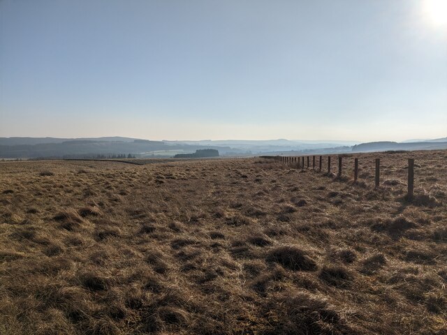
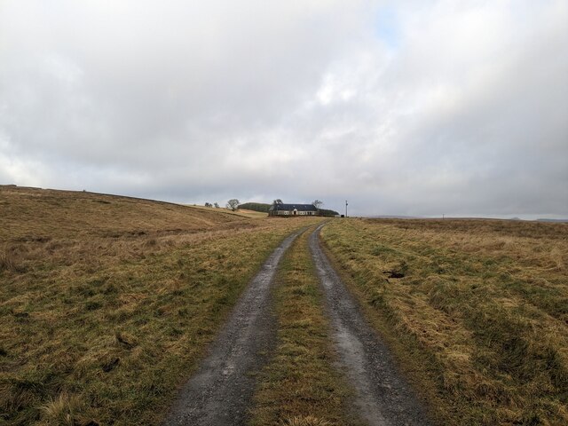
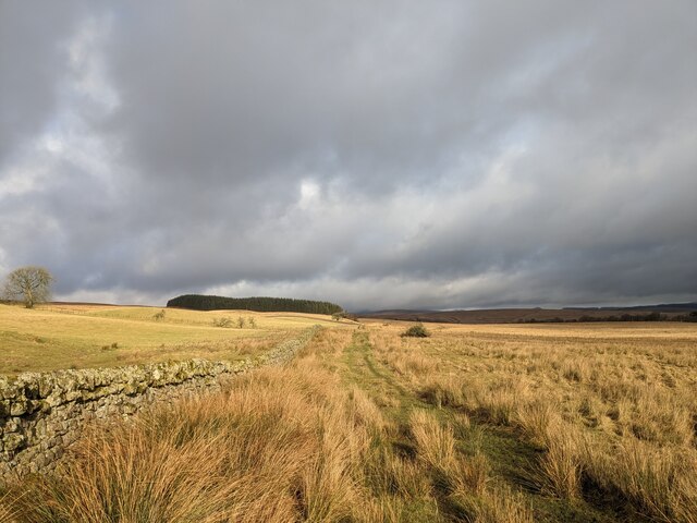
Bankend Wood Images

Images are sourced within 2km of 55.197928/-2.7890595 or Grid Reference NY4989. Thanks to Geograph Open Source API. All images are credited.

B6357 approaching Newcastleton
Fence by Foulshiels Rig
Foulshiels A remote cottage.
Foulshiels
A remote cottage.
Track north of Foulshiels
Foulshiels View of Foulshiels from the rough track to the north.
Foulshiels
View of Foulshiels from the rough track to the north.
Ruin and shed A ruined cottage by a still servicable shed.
Ruin and shed
A ruined cottage by a still servicable shed.
The B3157 heading for Old Castleton In Roxburghshire, Scottish Borders.
The B3157 heading for Old Castleton
In Roxburghshire, Scottish Borders.
Logging road, Newcastleton Forest The road climbs gently and has settled down a bit after being resurfaced a few years ago. It is used by the blue mountainbike route - quite a slog out but repaid by a singletrack return in the woods to the left.
Logging road, Newcastleton Forest
The road climbs gently and has settled down a bit after being resurfaced a few years ago. It is used by the blue mountainbike route - quite a slog out but repaid by a singletrack return in the woods to the left.
Logging road, Newcastleton Forest A gentle climb on the blue mountain bike route.
Logging road, Newcastleton Forest
A gentle climb on the blue mountain bike route.
Blue route, Newcastleton A singletrack section leaves the logging road beside the Priesthill Burn. The singletrack section is named Pouter Lampert after a long abandoned farm on this hillside.
Blue route, Newcastleton
A singletrack section leaves the logging road beside the Priesthill Burn. The singletrack section is named Pouter Lampert after a long abandoned farm on this hillside.
Blue route, Newcastleton Raised timber walkway on the rather fun singletrack return from Priesthill. Well worth the slog up the forest road to get to it.
Blue route, Newcastleton
Raised timber walkway on the rather fun singletrack return from Priesthill. Well worth the slog up the forest road to get to it.
Blue route, Newcastleton Towards the end of the last bit of singletrack.
Blue route, Newcastleton
Towards the end of the last bit of singletrack.
Northshore, Newcastleton No skinnies or balance beams, just easy boardwalk which makes a lovely noise with tyres.

The blue at Newcastleton, also the last bit of the red.
Northshore, Newcastleton
No skinnies or balance beams, just easy boardwalk which makes a lovely noise with tyres. The blue at Newcastleton, also the last bit of the red.
Mature conifers, Newcastleton Forest These must be some of the few surviving trees from when I first visited the forest, orienteering, in 1980.
Mature conifers, Newcastleton Forest
These must be some of the few surviving trees from when I first visited the forest, orienteering, in 1980.
Cemetery in Liddesdale
Dykecrofts View of fields and forest at Dykecrofts.
Dykecrofts
View of fields and forest at Dykecrofts.
Liddel Water Steep slopes on the outside of a meander at Mains.
Liddel Water
Steep slopes on the outside of a meander at Mains.
Castleton Muir A rashy field on the site of Castleton, a lost village.
Castleton Muir
A rashy field on the site of Castleton, a lost village.
Show me another place!

Bankend Wood is located at Grid Ref: NY4989 (Lat: 55.197928, Lng: -2.7890595)

Unitary Authority: The Scottish Borders

Police Authority: The Lothians and Scottish Borders

What 3 Words

///snoozing.snooping.printers. Near Langholm, Dumfries & Galloway

Related Wikis

Liddel Castle

Liddel Castle is a ruined castle in Liddesdale, by the Liddel Water, near Castleton in the Scottish Borders area of Scotland, in the former county of Roxburghshire...

Newcastleton railway station

Newcastleton railway station served the village of Newcastleton, Scottish Borders, Scotland from 1862 to 1969 on the Border Union Railway. == History... ==

Castleton, Scottish Borders

Castleton (Scottish Gaelic: Baile Chaisteil) is a civil parish in the Scottish Borders area of Scotland, in the former Roxburghshire, in the extreme south...

Newcastleton

Newcastleton, also called Copshaw Holm, is a village in Liddesdale, the Scottish Borders, a few miles from the border with England, on the Liddel Water...

Nearby Amenities

Located within 500m of 55.197928,-2.7890595
Power: pole
Lat/Long: 55.1974368/-2.7821695
Power: pole
Lat/Long: 55.1969003/-2.7845097
Power: pole
Lat/Long: 55.1965941/-2.7858267
Power: pole
Lat/Long: 55.1963675/-2.7869613
Power: pole
Lat/Long: 55.1961425/-2.7880905
Power: pole
Lat/Long: 55.1958684/-2.7894477
Power: pole
Lat/Long: 55.1955454/-2.7910114
Power: pole
Lat/Long: 55.1953112/-2.7922103
Power: pole
Lat/Long: 55.1950708/-2.7933825
Power: pole
Lat/Long: 55.1948381/-2.7945626
Westburnflat
Place: hamlet
Lat/Long: 55.1968803/-2.7913207
Power: pole
Lat/Long: 55.196479/-2.7963595
Power: pole
Lat/Long: 55.1969964/-2.7964676
Power: pole
Lat/Long: 55.1974902/-2.7965809
Power: pole
Lat/Long: 55.1975916/-2.7966015
Power: pole
Lat/Long: 55.1974005/-2.7861472
Power: pole
Lat/Long: 55.1978855/-2.7863326
Power: pole
Lat/Long: 55.1986644/-2.7866159
Power: pole
Lat/Long: 55.1993404/-2.7868656
Power: pole
Lat/Long: 55.1996358/-2.7869815
Power: pole
Lat/Long: 55.2004191/-2.7872648
Power: pole
Lat/Long: 55.2011891/-2.7875454
Power: pole
Lat/Long: 55.2019576/-2.7878338
Power: pole
Lat/Long: 55.1996064/-2.7856271
Power: pole
Lat/Long: 55.1998753/-2.7843886
Power: pole
Lat/Long: 55.2001531/-2.7831423
Power: pole
Lat/Long: 55.1980741/-2.7813885
Power: pole
Lat/Long: 55.198541/-2.7832195
Power: pole
Lat/Long: 55.1987026/-2.7825552
The data included in this document is from www.openstreetmap.org. The data is made available under ODbL.

Have you been to Bankend Wood?

Leave your review of Bankend Wood below (or comments, questions and feedback).