Carnegie's Strip
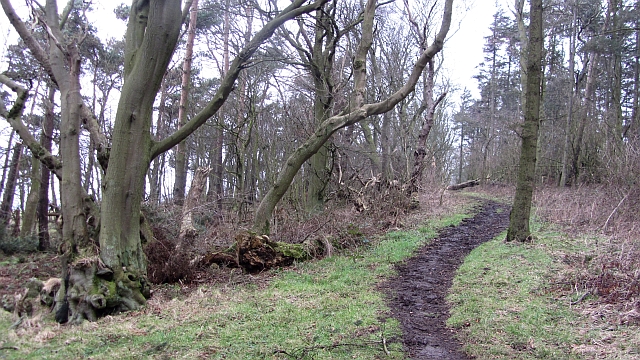
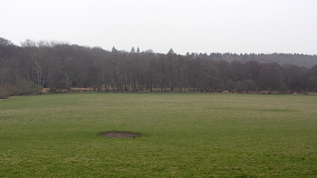
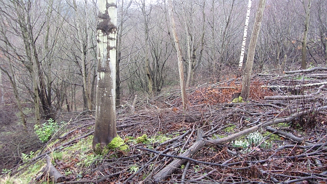
Wood, Forest in Fife
Scotland
Carnegie's Strip
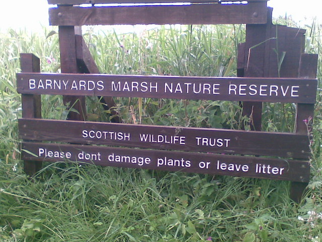
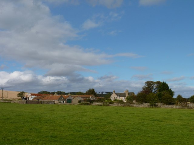
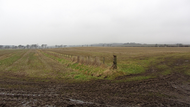
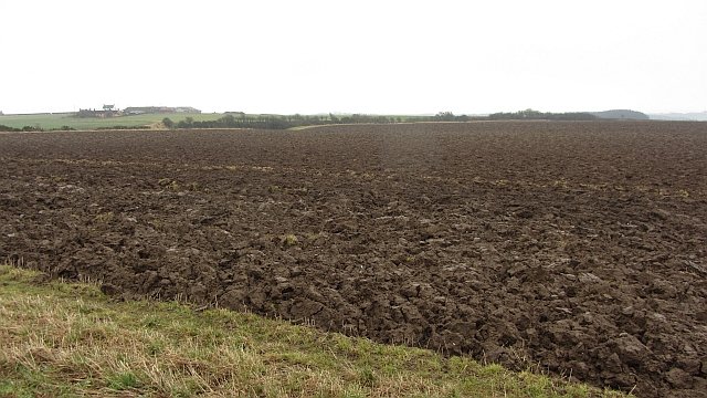
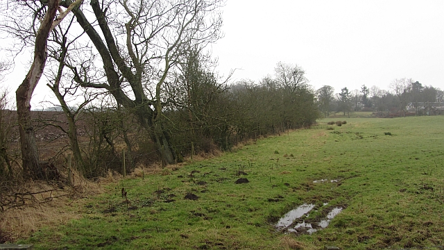
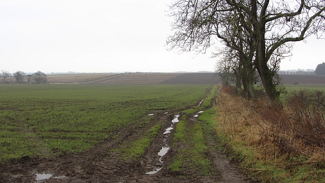
Carnegie's Strip, located in Fife, Scotland, is a tranquil and picturesque woodland area that offers visitors a serene escape from the hustle and bustle of urban life. Covering an area of approximately 20 acres, this forested region is named after the prominent industrialist and philanthropist Andrew Carnegie, who was born in nearby Dunfermline.
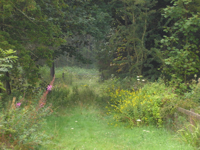
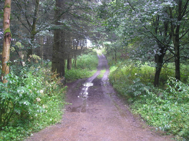
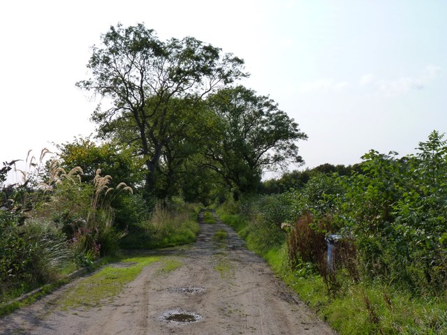
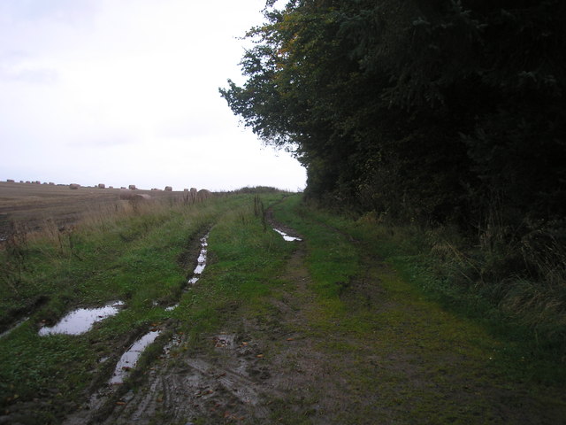
Carnegie's Strip boasts a diverse range of tree species, including oak, beech, and pine, which create a rich tapestry of colors throughout the year. The forest floor is adorned with a carpet of wildflowers, adding to the area's natural beauty. A network of well-maintained trails meanders through the woodland, providing visitors with opportunities for peaceful walks, hiking, and birdwatching.
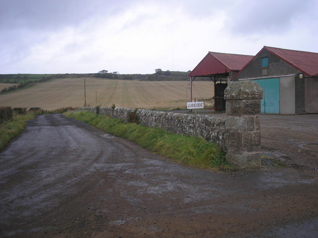
The strip is not only a haven for nature enthusiasts but also a cherished spot for local history buffs. It is believed that the area served as a hunting ground for Scottish kings in ancient times. Additionally, remnants of old stone walls and ruins of small shelters can be found, hinting at an intriguing past.
As a protected woodland, Carnegie's Strip supports a diverse ecosystem, providing a habitat for various wildlife species. Visitors may spot deer, foxes, rabbits, and a variety of bird species, making it an ideal destination for wildlife enthusiasts and photographers.
Overall, Carnegie's Strip is an enchanting woodland retreat that showcases the natural beauty of Fife. Whether one seeks a peaceful stroll, an exploration of historical remnants, or a chance to connect with nature, this forested area provides an idyllic setting for all.
If you have any feedback on the listing, please let us know in the comments section below.
Carnegie's Strip Images
Images are sourced within 2km of 56.224023/-2.8145383 or Grid Reference NO4903. Thanks to Geograph Open Source API. All images are credited.

Carnegie's Strip is located at Grid Ref: NO4903 (Lat: 56.224023, Lng: -2.8145383)
Unitary Authority: Fife
Police Authority: Fife
What 3 Words
///falls.rainbow.resembles. Near St Monans, Fife
Nearby Locations
Related Wikis

Arncroach
Arncroach is a small village situated in the east of Fife, four miles inland of the fishing village of Pittenweem and around 10 miles away from St Andrews...
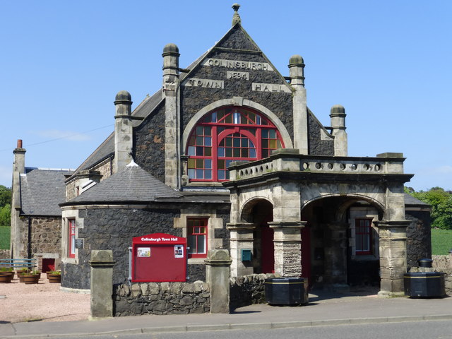
Colinsburgh Town Hall
Colinsburgh Town Hall is a municipal building in Main Street, Colinsburgh, Fife, Scotland. The building is used as a community events venue. == History... ==

Colinsburgh
Colinsburgh is a village in east Fife, Scotland, in the parish of Kilconquhar. == History == The village is named after Colin Lindsay, 3rd Earl of Balcarres...
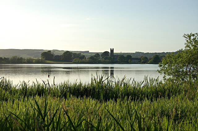
Kilconquhar Loch
Kilconquhar Loch is a Scottish freshwater loch. This small shallow loch is a Site of Special Scientific Interest (SSSI) and is located beside the village...
Nearby Amenities
Located within 500m of 56.224023,-2.8145383Have you been to Carnegie's Strip?
Leave your review of Carnegie's Strip below (or comments, questions and feedback).