Cefnllwyd

Settlement in Montgomeryshire

Wales

Cefnllwyd

A495 towards Meifod
A495 towards Meifod Credit: Steven Brown

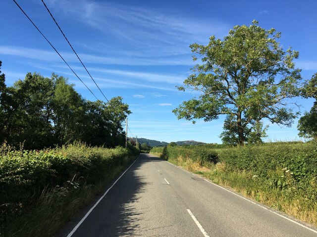
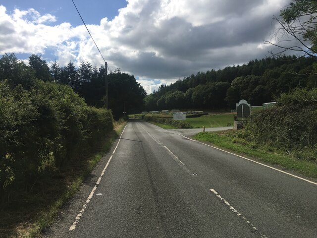
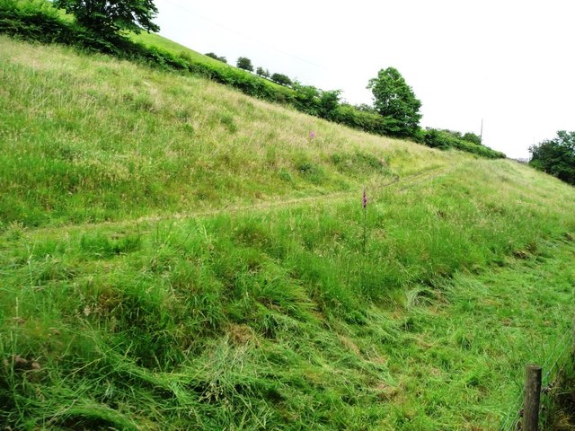
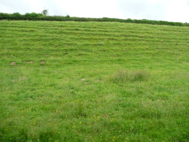
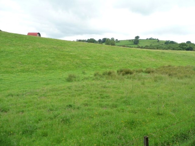
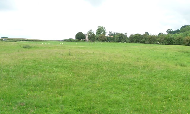
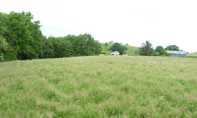
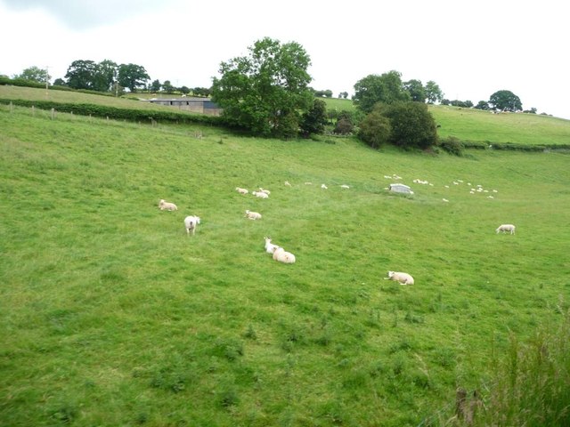
Cefnllwyd is a small rural village located in Montgomeryshire, Wales. Situated in the picturesque countryside, Cefnllwyd is known for its stunning natural beauty and peaceful atmosphere. The village is surrounded by rolling hills, lush green fields, and meandering streams, making it an ideal destination for those seeking a tranquil retreat.

Cefnllwyd is home to a tight-knit community of residents who take pride in their close connections and strong sense of community. The village has a small number of amenities, including a local pub, a village hall, and a small primary school. Residents often come together for community events and celebrations, fostering a sense of unity and camaraderie.

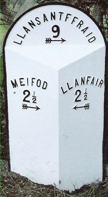
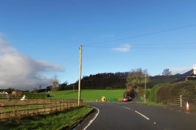
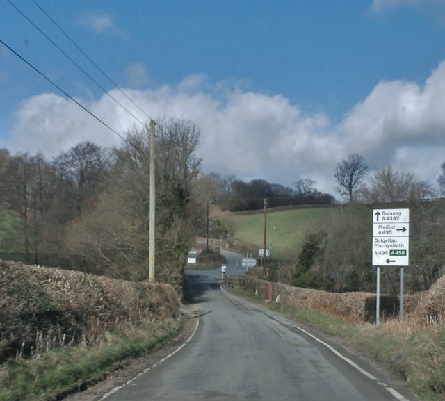
Visitors to Cefnllwyd can enjoy exploring the surrounding countryside, taking leisurely walks along the scenic trails, or simply relaxing in the peaceful surroundings. The village is also within easy reach of the larger towns of Montgomery and Newtown, where visitors can find a wider range of amenities and attractions.

Overall, Cefnllwyd offers a charming and idyllic setting for those looking to escape the hustle and bustle of city life and immerse themselves in the beauty of the Welsh countryside.

If you have any feedback on the listing, please let us know in the comments section below.
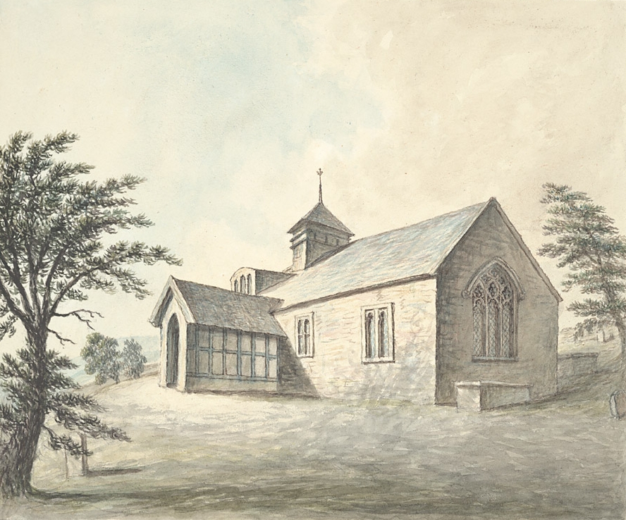
Cefnllwyd Images

Images are sourced within 2km of 52.676089/-3.295622 or Grid Reference SJ1209. Thanks to Geograph Open Source API. All images are credited.

A495 towards Meifod
A495 towards Meifod
Minor road near Pontrobert
A495 towards Meifod
A495 towards Meifod
A495 near Tan y Ffridd
Old Milestone by the B4389, east of Tanhouse Bridge, Llangyniew Parish Turner Arrow Casting by the B4389, in parish of Llangyniew (Powys District), South of Bryn Erica, in bank.

Surveyed

Milestone Society National ID: MOT_LCLS02
Old Milestone by the B4389, east of Tanhouse Bridge, Llangyniew Parish
Turner Arrow Casting by the B4389, in parish of Llangyniew (Powys District), South of Bryn Erica, in bank. Surveyed Milestone Society National ID: MOT_LCLS02
Road junction at Glan-Vyrnwy
A458 at Llangynyw junction
The B4382 where it crosses Yr Hafesb
Access track for Melin Dolrhyd y Defaid Dropping down from the A458 to the former watermill on the banks of the Afon Banwy / River Banwy.
Access track for Melin Dolrhyd y Defaid
Dropping down from the A458 to the former watermill on the banks of the Afon Banwy / River Banwy.
Parallel paths created by sheep Between the 1458 and the railway line, on the north bank of the Afon Banwy / River Banwy.
Parallel paths created by sheep
Between the 1458 and the railway line, on the north bank of the Afon Banwy / River Banwy.
Farmland on the north bank of Afon Banwy Seen from a train on the Welshpool & Llanfair Railway.
Farmland on the north bank of Afon Banwy
Seen from a train on the Welshpool & Llanfair Railway.
Sheep pasture at Heniarth On the north bank of Afon Banwy, between the railway line and the A458.
Sheep pasture at Heniarth
On the north bank of Afon Banwy, between the railway line and the A458.
Grassy field on the north bank of Afon Banwy Alongside a tree-lined small tributary. The distant house is called Noddfa.
Grassy field on the north bank of Afon Banwy
Alongside a tree-lined small tributary. The distant house is called Noddfa.
Sheep pasture at Ty'n-y-wern On the north bank of the Afon Banwy, between the railway line and the A458.
Sheep pasture at Ty'n-y-wern
On the north bank of the Afon Banwy, between the railway line and the A458.
Small tributary of the Afon Banwy Dropping northwards from Cil yr ych. Seen from the railway line.
Small tributary of the Afon Banwy
Dropping northwards from Cil yr ych. Seen from the railway line.
Ordnance Survey Cut Mark This OS cut mark can be found on the SW face of Capel Peniel. It marks a point 123.150m above mean sea level.
Ordnance Survey Cut Mark
This OS cut mark can be found on the SW face of Capel Peniel. It marks a point 123.150m above mean sea level.
Afon Banwy from railway bridge
Heniarth Halt from railway bridge
Show me another place!

Cefnllwyd is located at Grid Ref: SJ1209 (Lat: 52.676089, Lng: -3.295622)

Unitary Authority: Powys

Police Authority: Dyfed Powys

Also known as: Cefn-Llwyd

What 3 Words

///occupations.mentions.clever. Near Llanfair Caereinion, Powys

Nearby Locations

Cefnllwyd Cefn-Llwyd

Related Wikis

Pentre Camp

Pentre Camp is an Iron Age hillfort, near the hamlet of Llangynyw and about 2.5 miles (4 km) north-east of Llanfair Caereinion, in Powys, Wales. It is...

Heniarth railway station

Heniarth Halt railway station is an unstaffed halt on the narrow gauge Welshpool and Llanfair Light Railway serving the hamlet of Heniarth. This station...

Mathrafal

Mathrafal near Welshpool, in Powys, Mid Wales, was the seat of the Kings and Princes of Powys probably from the 9th century until its destruction in 1213...
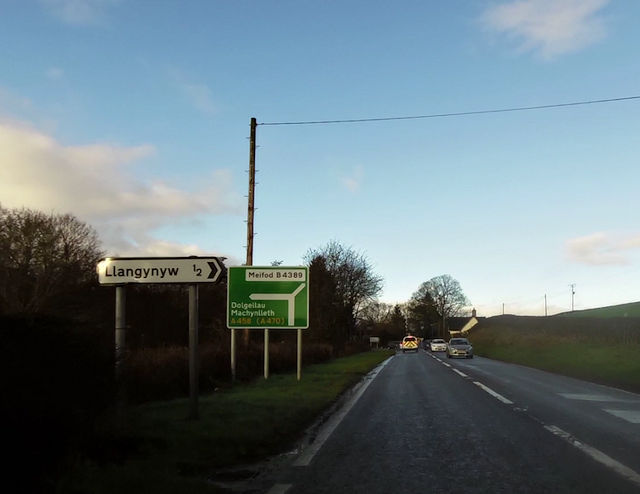
Llangynyw

Llangynyw (also Llangyniew) is a hamlet and community in Montgomeryshire, Powys, mid Wales. It is located on a hill inside a bend in the River Banwy, approximately...

Nearby Amenities

Located within 500m of 52.676089,-3.295622
The data included in this document is from www.openstreetmap.org. The data is made available under ODbL.

Have you been to Cefnllwyd?

Leave your review of Cefnllwyd below (or comments, questions and feedback).