Berry Moss

Wood, Forest in Roxburghshire

Scotland

Berry Moss

Great Laws Plantation
Great Laws Plantation Credit: Richard Webb

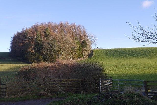
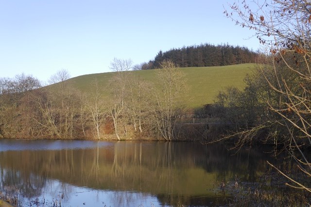
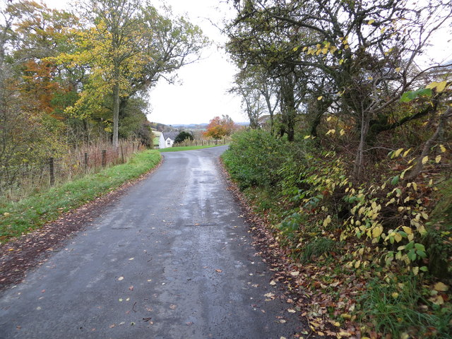
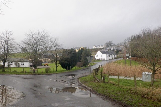
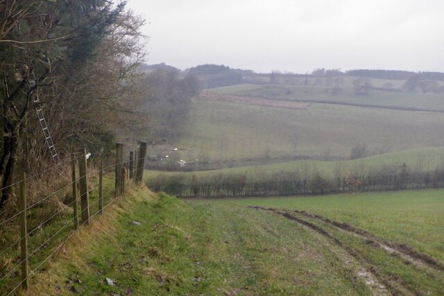
Berry Moss is a picturesque woodland located in Roxburghshire, Scotland. Spanning over a vast area, it is renowned for its stunning natural beauty and diverse ecosystem. The moss is characterized by its dense coverage of mosses, lichens, and other vegetation, creating a lush and green environment.

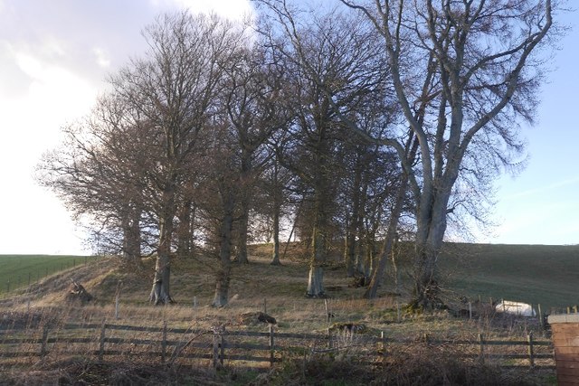
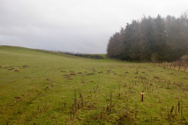
The woodland is home to a wide variety of plant and animal species, making it a popular destination for nature enthusiasts and wildlife photographers. The area is predominantly dominated by native tree species, including oak, birch, and pine, which provide a habitat for a plethora of bird species such as woodpeckers, thrushes, and owls.

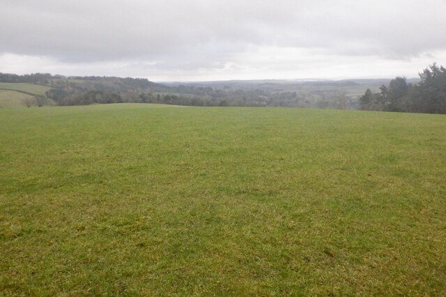
Visitors can explore Berry Moss through a network of well-maintained trails and paths, allowing them to immerse themselves in the tranquil surroundings. The moss is particularly renowned for its vibrant displays of wildflowers during the spring and summer months, adding a burst of color to the already breathtaking landscape.

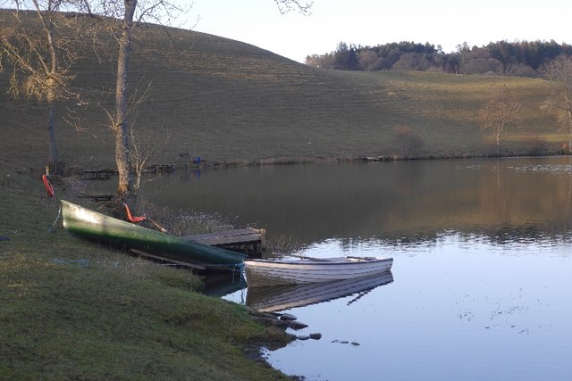
The peaceful ambiance of Berry Moss makes it an ideal location for recreational activities such as walking, hiking, and picnicking. The area is also frequently used for educational purposes, with schools and nature organizations organizing field trips to teach visitors about the importance of biodiversity and conservation.

Berry Moss is a hidden gem in Roxburghshire, offering a haven of tranquility and natural beauty. Whether you are a nature lover, a wildlife enthusiast, or simply seeking a peaceful retreat, this woodland is sure to captivate your senses and leave you with unforgettable memories.

If you have any feedback on the listing, please let us know in the comments section below.
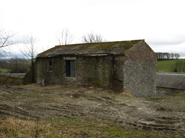
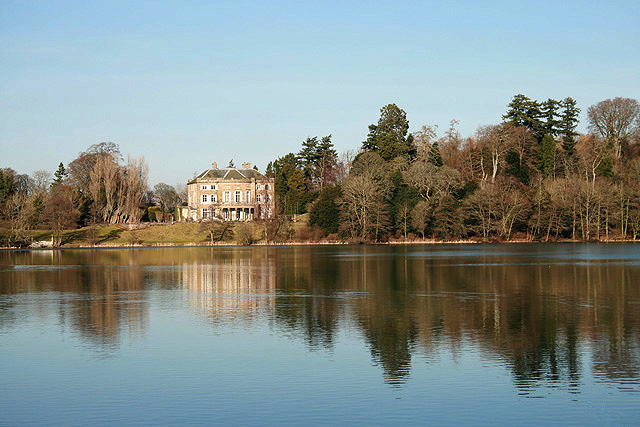
Berry Moss Images

Images are sourced within 2km of 55.515839/-2.8059097 or Grid Reference NT4924. Thanks to Geograph Open Source API. All images are credited.

Great Laws Plantation
Clerklands Loch A trout fishery near Selkirk.  The loch looks well established, but you will not find it on the 1:50,000 map.
Clerklands Loch
A trout fishery near Selkirk. The loch looks well established, but you will not find it on the 1:50,000 map.
North Cringles Strip A strip wood by Clerklands Loch.
North Cringles Strip
A strip wood by Clerklands Loch.
Clerklands Loch Boats tied up for the close season.
Clerklands Loch
Boats tied up for the close season.
Road approaching Clerklands Looking eastward.
Road approaching Clerklands
Looking eastward.
Clerklands
Clerklands
Greatlaws Plantation
Greatlaws summit
Greatlaws summit
Edge of Greatlaws Plantation
Direction Sign – Signpost on the B6400 at Clerklands Located on the southeast side of the T junction on the B6400 at Clerklands. 2 arms and annulus finial. MDC stands for Middle District Committee; in the early days of the Scottish County Councils, the Roads Depts were often organised by Eastern, Western or Middle District Committees. See also <a title="https://www.geograph.org.uk/photo/3757031" href="https://www.geograph.org.uk/photo/3757031">Link</a>.

Milestone Society National ID: RX_NT5024
Direction Sign – Signpost on the B6400 at Clerklands
Located on the southeast side of the T junction on the B6400 at Clerklands. 2 arms and annulus finial. MDC stands for Middle District Committee; in the early days of the Scottish County Councils, the Roads Depts were often organised by Eastern, Western or Middle District Committees. See also Link. Milestone Society National ID: RX_NT5024
An old hay shed at Clerklands Farm
Riddell Cottage from the B6400 road
Sheep field Sheep and lambs in a field to the north of Riddellshiel Plantation.
Sheep field
Sheep and lambs in a field to the north of Riddellshiel Plantation.
Clerklands Fly Fishery A small loch 4 miles southeast of Selkirk providing boat and bank fishing for blue trout, rainbow trout and brown trout at various ticket prices. The loch is shown on the Explorer map but not on the Landranger map. For more information, see <span class="nowrap"><a title="www.clerklandsflyfishery.co.uk" rel="nofollow ugc noopener" href="http://www.clerklandsflyfishery.co.uk">Link</a><img style="margin-left:2px;" alt="External link" title="External link - shift click to open in new window" src="https://s1.geograph.org.uk/img/external.png" width="10" height="10"/></span>
Clerklands Fly Fishery
A small loch 4 miles southeast of Selkirk providing boat and bank fishing for blue trout, rainbow trout and brown trout at various ticket prices. The loch is shown on the Explorer map but not on the Landranger map. For more information, see LinkExternal link
Phone "Oor Wullie" A sign at the entrance to Clerklands Fly Fishery <a href="https://www.geograph.org.uk/photo/918217">NT5024 : Clerklands Fly Fishery</a>. Enquiries are answered on the phone by Wullie Foster.
Phone "Oor Wullie"
A sign at the entrance to Clerklands Fly Fishery NT5024 : Clerklands Fly Fishery. Enquiries are answered on the phone by Wullie Foster.
Clerklands fishery Fishing loch in good fishing weather. (Trout)
Clerklands fishery
Fishing loch in good fishing weather. (Trout)
Greatlaws Plantation End on view of a stripwood.
Greatlaws Plantation
End on view of a stripwood.
Derelict  cottage type building at Clerklands Beyond at the lower level sits the farm.
Derelict cottage type building at Clerklands
Beyond at the lower level sits the farm.
Show me another place!

Berry Moss is located at Grid Ref: NT4924 (Lat: 55.515839, Lng: -2.8059097)

Unitary Authority: The Scottish Borders

Police Authority: The Lothians and Scottish Borders

What 3 Words

///seashell.generally.mops. Near Selkirk, Scottish Borders

Related Wikis

Have you been to Berry Moss?

Leave your review of Berry Moss below (or comments, questions and feedback).