Fontstone Wood
Wood, Forest in Angus
Scotland
Fontstone Wood

Fontstone Wood, Angus, is a picturesque forest located in the county of Angus, Scotland. Covering an area of approximately 100 hectares, this woodland is a haven for nature enthusiasts and those seeking tranquility amidst stunning natural surroundings.
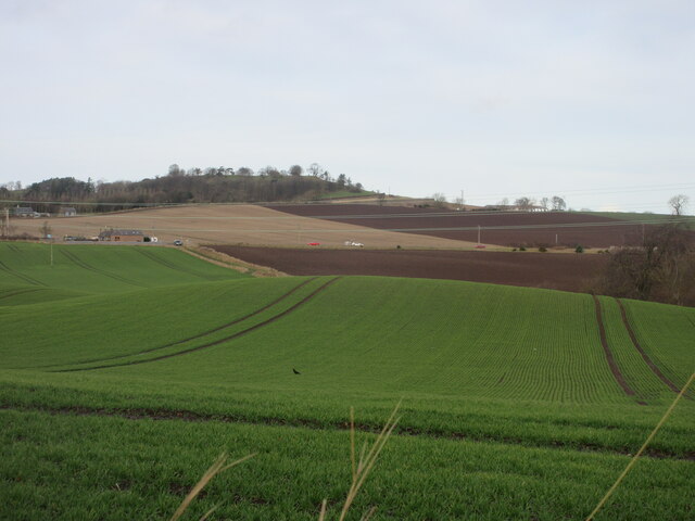
The wood is primarily composed of native broadleaf trees such as oak, birch, and beech, creating a diverse and vibrant ecosystem. The dense canopy of foliage provides shelter for a range of wildlife, including deer, red squirrels, and a variety of bird species. Visitors can expect to witness a rich display of flora and fauna as they explore the forest's network of walking trails and pathways.
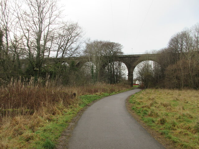
Fontstone Wood is known for its well-maintained trails that wind their way through the forest, offering visitors an opportunity to immerse themselves in the beauty of nature. The paths are clearly marked and suitable for all levels of fitness, making it an ideal destination for families, hikers, and nature lovers alike.
Aside from its natural beauty, the wood also holds historical significance. It is home to the remnants of an ancient settlement, providing a glimpse into the area's past. Archaeological enthusiasts can explore these ruins and discover the history of the people who once inhabited the land.
Fontstone Wood is easily accessible, with a car park available for visitors. The wood is open year-round, allowing visitors to experience its ever-changing beauty throughout the seasons. Whether you are seeking a peaceful walk, wildlife spotting, or an educational adventure, Fontstone Wood promises a memorable experience for all who visit.
If you have any feedback on the listing, please let us know in the comments section below.
Fontstone Wood Images
Images are sourced within 2km of 56.482001/-2.8271859 or Grid Reference NO4932. Thanks to Geograph Open Source API. All images are credited.


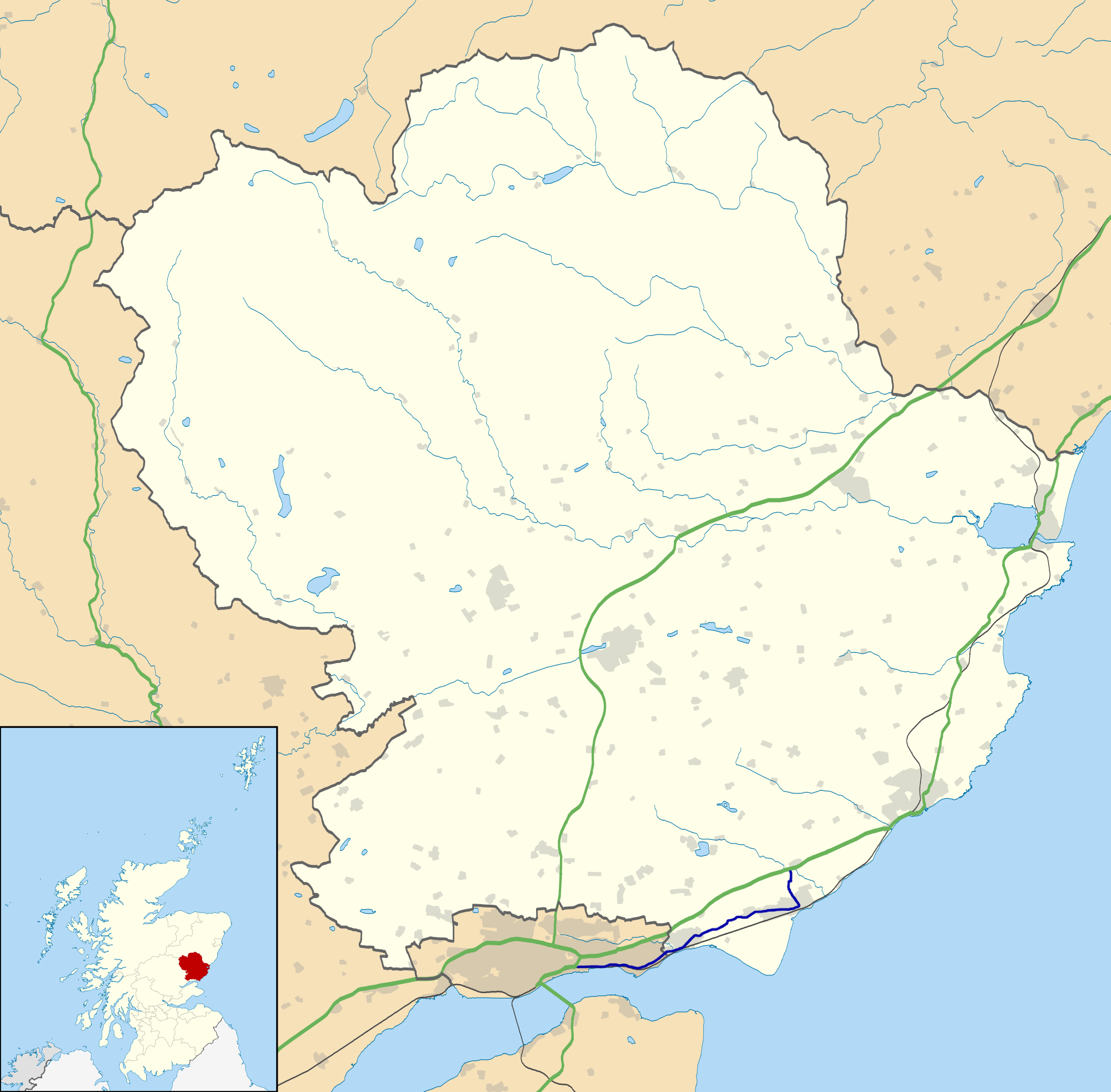
Fontstone Wood is located at Grid Ref: NO4932 (Lat: 56.482001, Lng: -2.8271859)
Unitary Authority: Angus
Police Authority: Tayside
What 3 Words
///digested.thorax.slide. Near Monifieth, Angus
Nearby Locations
Related Wikis

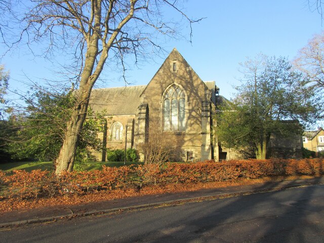
Monifieth
Monifieth (Scottish Gaelic: Monadh Fotha) is a town and former police burgh in the council area of Angus, Scotland. It is situated on the north bank of...
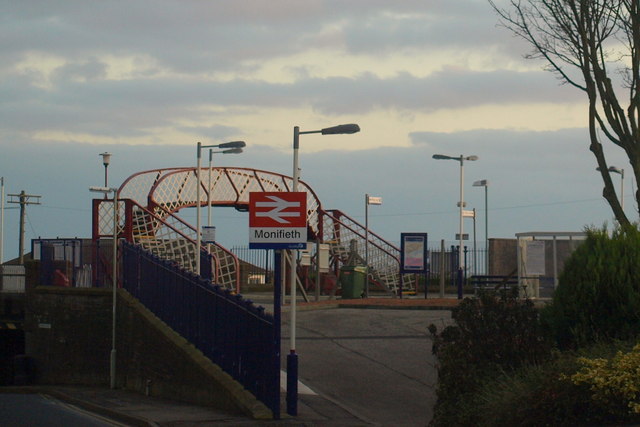
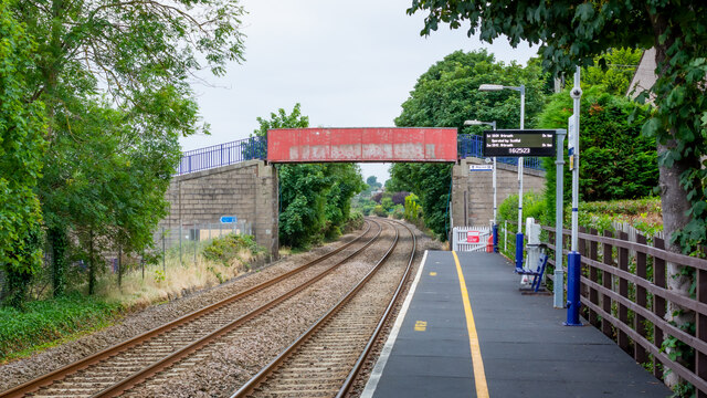
Monifieth railway station
Monifieth railway station serves the town of Monifieth near Dundee, Scotland. It is sited 5 miles 72 chains (9.5 kilometres) from the former Dundee East...

Ashludie Hospital
Ashludie Hospital was a health facility in Victoria Street, Monifieth, Angus, Scotland. It was managed by NHS Tayside. It remains a Category B listed building...
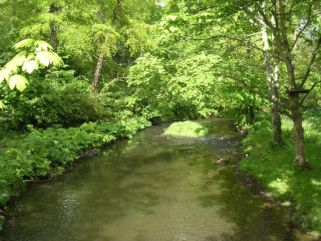
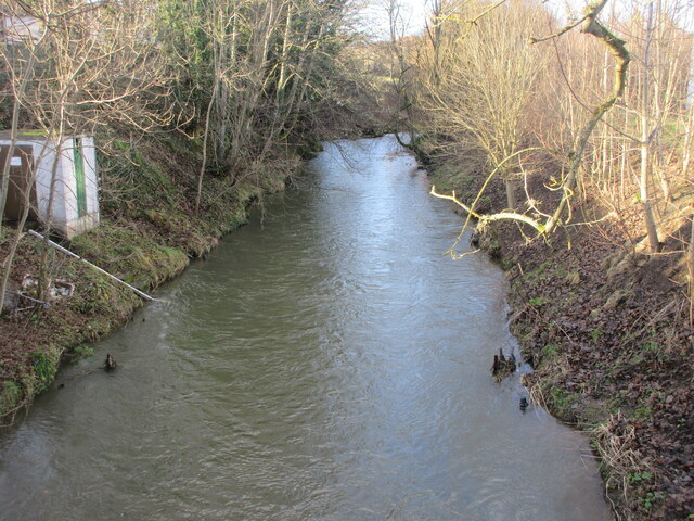
Dighty Burn
The Dighty Burn, also known as Dighty Water or Dichty Water, is a burn or stream 20 kilometres (12 mi) in length that flows through the north and east...

Balmossie railway station
Balmossie railway station is a small railway station at the border between Dundee and Angus which serves the east of Broughty Ferry and the west of Monifieth...

Barnhill railway station (Angus)
Barnhill railway station was a railway station in Scotland serving the suburb of Barnhill, Dundee. == History == The station was opened as Barnhill on...
Barnhill, Dundee
Barnhill is an area in Dundee, located within the suburb of Broughty Ferry. It is approximately 4½ miles east of Dundee City Centre. Until the late 19th...
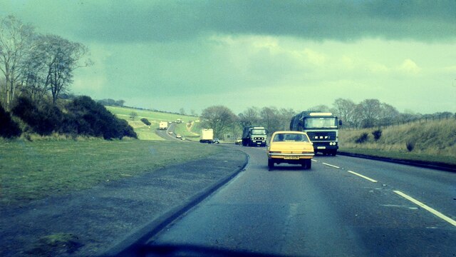
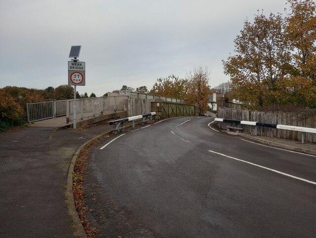
A930 road
The A930 is a single carriageway road in Angus, Scotland. It runs from Dundee to Carnoustie. Starting at its junction with the A92 road in Craigie, Dundee...
Nearby Amenities
Located within 500m of 56.482001,-2.8271859Have you been to Fontstone Wood?
Leave your review of Fontstone Wood below (or comments, questions and feedback).